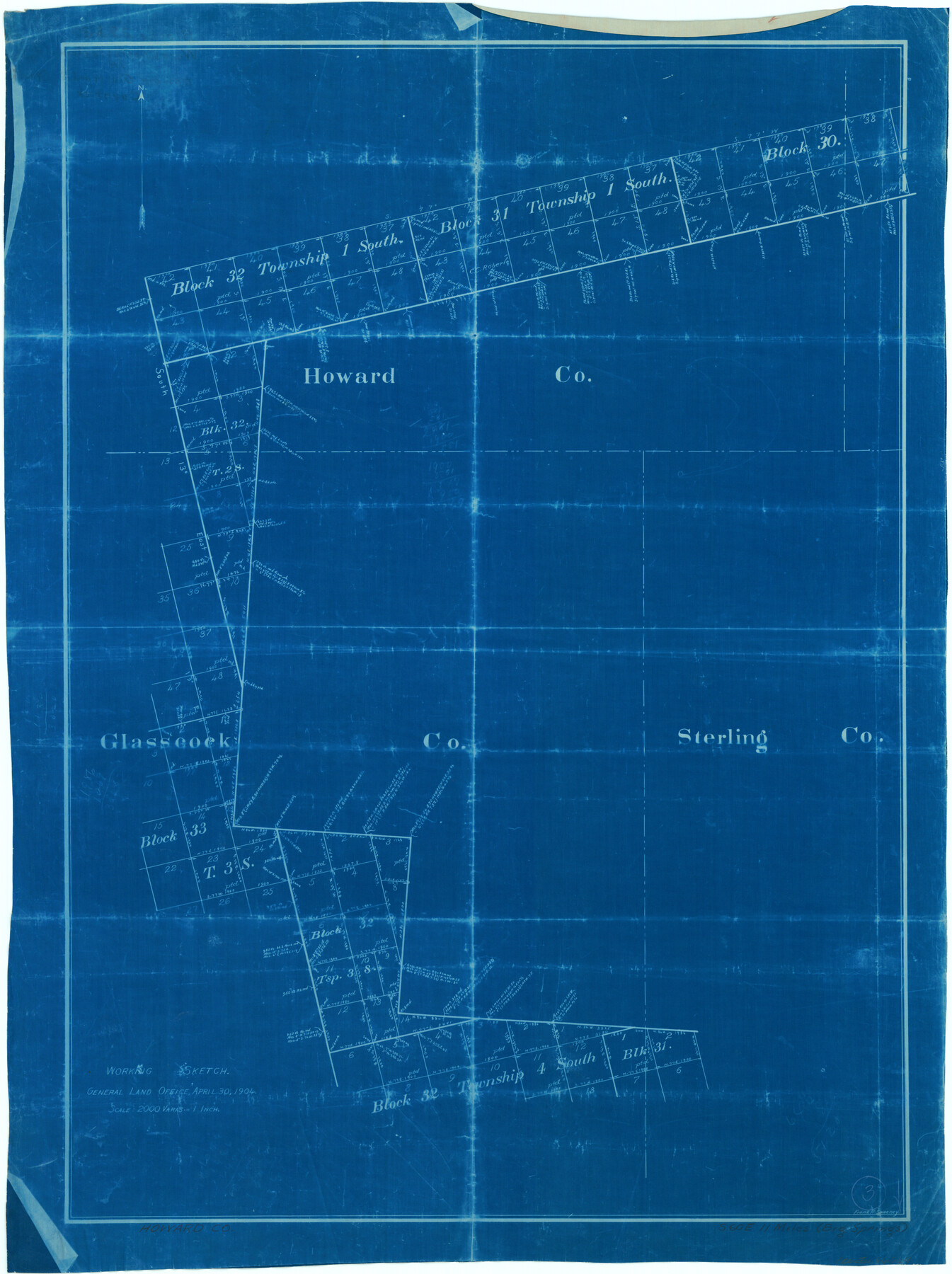
Howard County Working Sketch 3
-
Map/Doc
66269
-
Collection
General Map Collection
-
Object Dates
4/30/1904 (Creation Date)
-
People and Organizations
Frank R. Sweeney (Draftsman)
-
Counties
Howard
-
Subjects
Surveying Working Sketch
-
Height x Width
26.8 x 20.1 inches
68.1 x 51.1 cm
-
Scale
1" = 2000 varas
Part of: General Map Collection
Atascosa County Rolled Sketch R

Print $20.00
- Digital $50.00
Atascosa County Rolled Sketch R
Size 19.6 x 19.6 inches
Map/Doc 5103
Polk County Sketch File 23

Print $20.00
- Digital $50.00
Polk County Sketch File 23
Size 18.0 x 18.6 inches
Map/Doc 12191
Garza County Working Sketch 12

Print $20.00
- Digital $50.00
Garza County Working Sketch 12
1956
Size 31.9 x 24.4 inches
Map/Doc 63159
Liberty County Working Sketch 6

Print $20.00
- Digital $50.00
Liberty County Working Sketch 6
1903
Size 17.2 x 19.5 inches
Map/Doc 70465
Menard County Working Sketch 26

Print $20.00
- Digital $50.00
Menard County Working Sketch 26
1961
Size 28.6 x 36.1 inches
Map/Doc 70973
Matagorda County NRC Article 33.136 Sketch 16

Digital $50.00
Matagorda County NRC Article 33.136 Sketch 16
2023
Map/Doc 97256
Webb County Boundary File 4

Print $8.00
- Digital $50.00
Webb County Boundary File 4
Size 11.2 x 8.8 inches
Map/Doc 59761
La Salle County

Print $20.00
- Digital $50.00
La Salle County
1923
Size 47.5 x 42.5 inches
Map/Doc 73215
Flight Mission No. DQN-1K, Frame 67, Calhoun County

Print $20.00
- Digital $50.00
Flight Mission No. DQN-1K, Frame 67, Calhoun County
1953
Size 18.3 x 22.1 inches
Map/Doc 84154
Shelby County Sketch File 20

Print $20.00
- Digital $50.00
Shelby County Sketch File 20
1879
Size 18.3 x 34.6 inches
Map/Doc 12319
Map of Deaf Smith Co.

Print $40.00
- Digital $50.00
Map of Deaf Smith Co.
1898
Size 42.5 x 54.6 inches
Map/Doc 16821
Bexar County Rolled Sketch 6

Print $40.00
- Digital $50.00
Bexar County Rolled Sketch 6
Size 36.6 x 54.9 inches
Map/Doc 81902
You may also like
Plat of a survey on Padre Island in Cameron County surveyed for South Padre Development Corporation by Claunch and Associates

Print $40.00
- Digital $50.00
Plat of a survey on Padre Island in Cameron County surveyed for South Padre Development Corporation by Claunch and Associates
1970
Size 61.8 x 40.0 inches
Map/Doc 61429
Flight Mission No. CRK-7P, Frame 80, Refugio County

Print $20.00
- Digital $50.00
Flight Mission No. CRK-7P, Frame 80, Refugio County
1956
Size 18.4 x 22.2 inches
Map/Doc 86951
Bell County Rolled Sketch 2

Print $20.00
- Digital $50.00
Bell County Rolled Sketch 2
1954
Size 27.0 x 28.0 inches
Map/Doc 5133
Sketch of surveys in Harrison & Marion Cos. showing Caddo Lake & Subdivisions

Print $5.00
- Digital $50.00
Sketch of surveys in Harrison & Marion Cos. showing Caddo Lake & Subdivisions
1955
Size 32.6 x 32.5 inches
Map/Doc 2895
Galveston Harbor, Texas - U.S. Harbor Lines - Galveston Harbor, Galveston Channel, Channel from Galveston Harbor to Texas City and Channel to Port Bolivar

Print $20.00
- Digital $50.00
Galveston Harbor, Texas - U.S. Harbor Lines - Galveston Harbor, Galveston Channel, Channel from Galveston Harbor to Texas City and Channel to Port Bolivar
1939
Size 39.4 x 26.7 inches
Map/Doc 73631
Flight Mission No. DIX-5P, Frame 110, Aransas County

Print $20.00
- Digital $50.00
Flight Mission No. DIX-5P, Frame 110, Aransas County
1956
Size 17.7 x 18.3 inches
Map/Doc 83789
Map of Darrington State Farm, Brazoria County, Texas

Print $20.00
- Digital $50.00
Map of Darrington State Farm, Brazoria County, Texas
Size 18.5 x 37.9 inches
Map/Doc 62985
Dawson County Sketch File C

Print $50.00
- Digital $50.00
Dawson County Sketch File C
1917
Size 14.3 x 8.8 inches
Map/Doc 20470
Deaf Smith County Rolled Sketch 4

Print $20.00
- Digital $50.00
Deaf Smith County Rolled Sketch 4
Size 23.9 x 18.0 inches
Map/Doc 96789
Palo Pinto County Working Sketch 25

Print $20.00
- Digital $50.00
Palo Pinto County Working Sketch 25
1991
Map/Doc 71408
The Chief Justice County of Colorado. Undated

Print $20.00
The Chief Justice County of Colorado. Undated
2020
Size 14.8 x 21.6 inches
Map/Doc 96044
Corpus Christi and Rio Grande Railway Company, [map showing the proposed railroad between Laredo and Corpus Christi and its connections with Mexico]
![93580, Corpus Christi and Rio Grande Railway Company, [map showing the proposed railroad between Laredo and Corpus Christi and its connections with Mexico], Library of Congress](https://historictexasmaps.com/wmedia_w700/maps/93580.tif.jpg)
Print $20.00
Corpus Christi and Rio Grande Railway Company, [map showing the proposed railroad between Laredo and Corpus Christi and its connections with Mexico]
1874
Size 14.6 x 24.0 inches
Map/Doc 93580