[McK. & Williams No. 601 and surrounding surveys, Travis County]
-
Map/Doc
75553
-
Collection
Maddox Collection
-
Counties
Travis
-
Height x Width
16.3 x 10.7 inches
41.4 x 27.2 cm
-
Medium
paper, manuscript
Part of: Maddox Collection
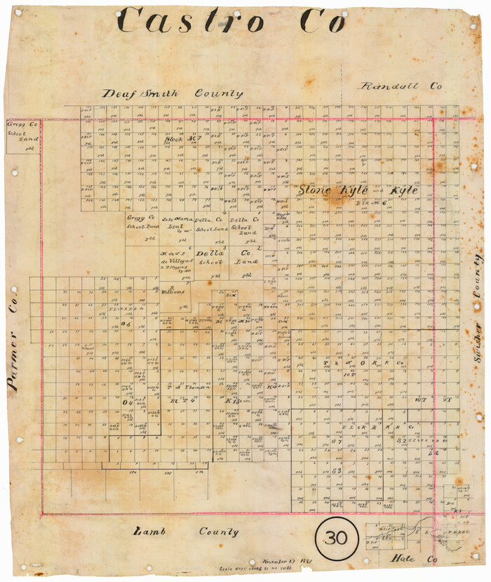
Castro County, Texas

Print $20.00
- Digital $50.00
Castro County, Texas
1883
Size 20.8 x 18.7 inches
Map/Doc 682
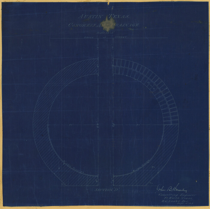
Austin, Texas Congress Ave. Drainage

Print $20.00
- Digital $50.00
Austin, Texas Congress Ave. Drainage
1903
Size 15.3 x 15.4 inches
Map/Doc 75798
Part of original sketch of Block "H" W. & N. W. Ry. Co. Cottle County


Print $20.00
- Digital $50.00
Part of original sketch of Block "H" W. & N. W. Ry. Co. Cottle County
Size 13.7 x 14.6 inches
Map/Doc 10776
San Augustine County, Texas


Print $20.00
- Digital $50.00
San Augustine County, Texas
1879
Size 22.7 x 17.5 inches
Map/Doc 752
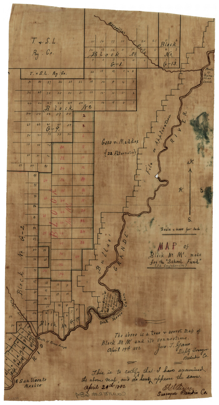
Map of Block No. "M1" made for the "School Fund" (32 Confederates)

Print $20.00
- Digital $50.00
Map of Block No. "M1" made for the "School Fund" (32 Confederates)
1882
Size 18.5 x 11.2 inches
Map/Doc 684
Waller County, Texas


Print $20.00
- Digital $50.00
Waller County, Texas
1879
Size 22.8 x 17.7 inches
Map/Doc 764
Nolan County, Texas


Print $20.00
- Digital $50.00
Nolan County, Texas
1880
Size 29.5 x 22.7 inches
Map/Doc 588
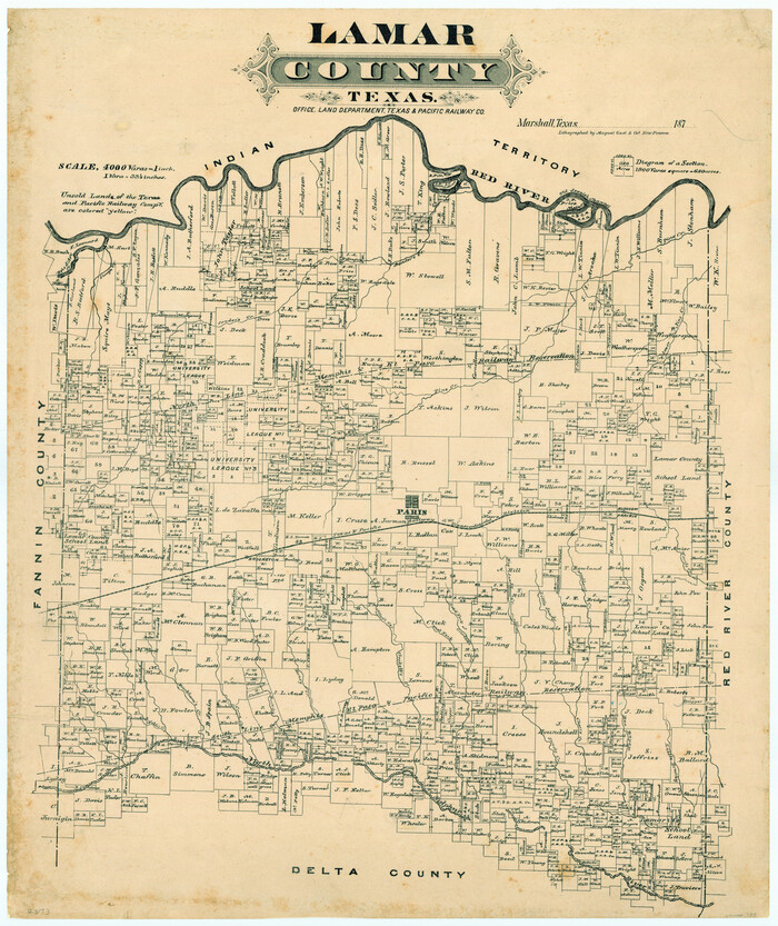
Lamar County, Texas

Print $20.00
- Digital $50.00
Lamar County, Texas
1870
Size 21.5 x 18.1 inches
Map/Doc 738
Saline Ranch in Mason, Kimble and Menard Counties


Print $20.00
- Digital $50.00
Saline Ranch in Mason, Kimble and Menard Counties
1916
Size 28.6 x 27.4 inches
Map/Doc 75808
Graham's Addition Being a Subdivision of a Portion of Lot No. 1 of Spear League


Print $20.00
- Digital $50.00
Graham's Addition Being a Subdivision of a Portion of Lot No. 1 of Spear League
1914
Size 13.6 x 33.0 inches
Map/Doc 542
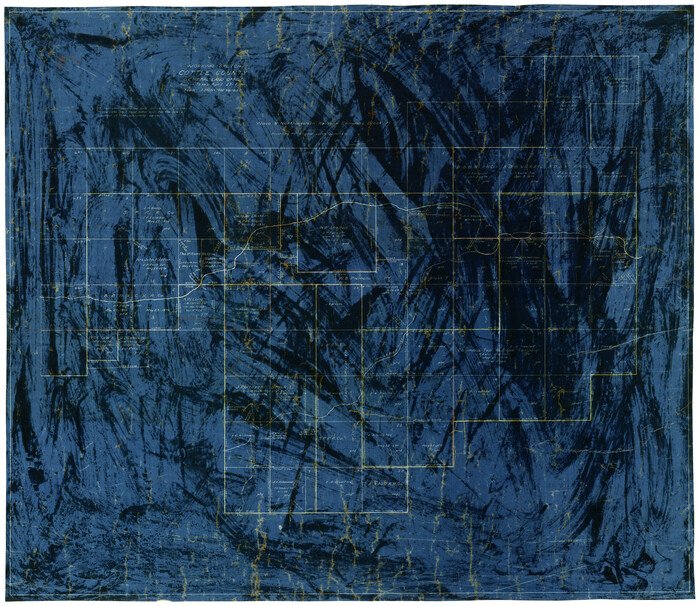
Working Sketch, Cottle County

Print $20.00
- Digital $50.00
Working Sketch, Cottle County
1916
Size 26.0 x 28.9 inches
Map/Doc 4435
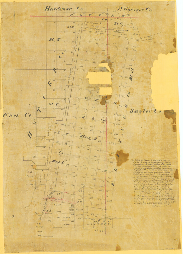
Sketch of Block B, GH & H RR & Blk C, CT RR Co, with surrounding & conflicting surveys in Knox & Baylor Counties

Print $20.00
- Digital $50.00
Sketch of Block B, GH & H RR & Blk C, CT RR Co, with surrounding & conflicting surveys in Knox & Baylor Counties
Size 24.9 x 17.9 inches
Map/Doc 75784
You may also like
Kinney County Rolled Sketch 12


Print $20.00
- Digital $50.00
Kinney County Rolled Sketch 12
1947
Size 29.2 x 38.9 inches
Map/Doc 6541
Medina County Working Sketch 17


Print $20.00
- Digital $50.00
Medina County Working Sketch 17
1979
Size 26.8 x 34.5 inches
Map/Doc 70932
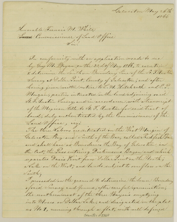
Galveston County Sketch File 9

Print $6.00
- Digital $50.00
Galveston County Sketch File 9
1866
Size 10.1 x 8.1 inches
Map/Doc 23369
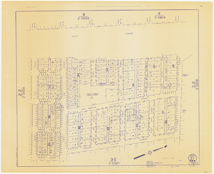
Travis County Appraisal District Plat Map 2_0605

Print $20.00
- Digital $50.00
Travis County Appraisal District Plat Map 2_0605
Size 21.4 x 26.4 inches
Map/Doc 94240
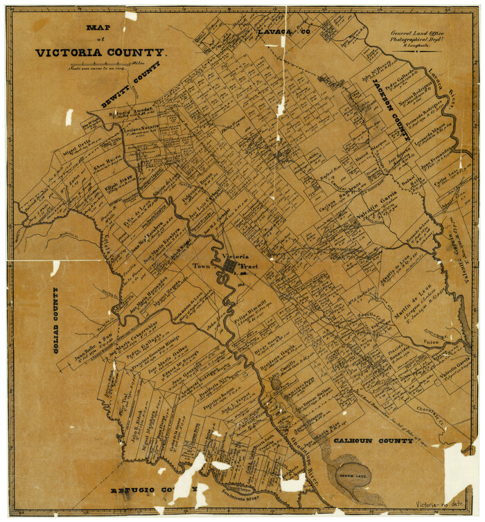
Map of Victoria County

Print $20.00
- Digital $50.00
Map of Victoria County
1873
Size 20.9 x 19.3 inches
Map/Doc 4116
Nolan County Sketch File 1


Print $48.00
- Digital $50.00
Nolan County Sketch File 1
1890
Size 14.1 x 8.5 inches
Map/Doc 32470
Pecos County Working Sketch 141


Print $20.00
- Digital $50.00
Pecos County Working Sketch 141
1941
Size 31.8 x 42.5 inches
Map/Doc 9733
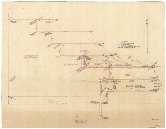
Pecos County Working Sketch 59

Print $20.00
- Digital $50.00
Pecos County Working Sketch 59
1950
Size 26.5 x 34.1 inches
Map/Doc 71531
[Blocks C31-C37, D, D1, DD and vicinity]
![91870, [Blocks C31-C37, D, D1, DD and vicinity], Twichell Survey Records](https://historictexasmaps.com/wmedia_w700/maps/91870-1.tif.jpg)
![91870, [Blocks C31-C37, D, D1, DD and vicinity], Twichell Survey Records](https://historictexasmaps.com/wmedia_w700/maps/91870-1.tif.jpg)
Print $20.00
- Digital $50.00
[Blocks C31-C37, D, D1, DD and vicinity]
Size 21.1 x 15.3 inches
Map/Doc 91870
[George Gentry, Wm. Williams, and surrounding surveys]
![90973, [George Gentry, Wm. Williams, and surrounding surveys], Twichell Survey Records](https://historictexasmaps.com/wmedia_w700/maps/90973-1.tif.jpg)
![90973, [George Gentry, Wm. Williams, and surrounding surveys], Twichell Survey Records](https://historictexasmaps.com/wmedia_w700/maps/90973-1.tif.jpg)
Print $2.00
- Digital $50.00
[George Gentry, Wm. Williams, and surrounding surveys]
Size 8.3 x 12.6 inches
Map/Doc 90973
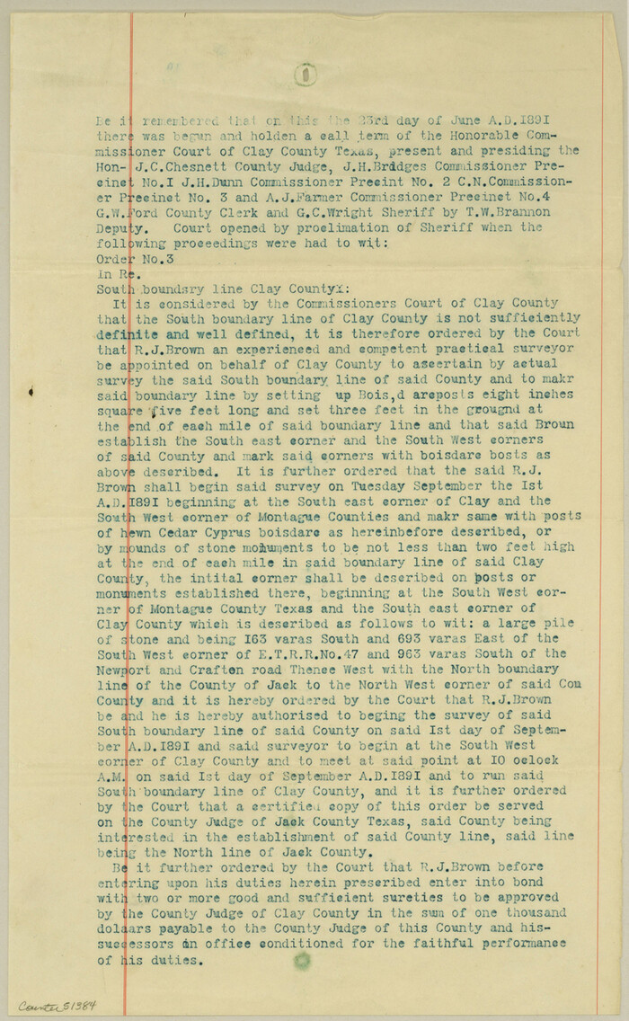
Clay County Boundary File 8

Print $18.00
- Digital $50.00
Clay County Boundary File 8
Size 13.3 x 8.2 inches
Map/Doc 51384
![75553, [McK. & Williams No. 601 and surrounding surveys, Travis County], Maddox Collection](https://historictexasmaps.com/wmedia_w1800h1800/maps/75553.tif.jpg)
