[Sketch of surveys in Hutchinson County]
-
Map/Doc
75817
-
Collection
Maddox Collection
-
Object Dates
1912/9/12 (Creation Date)
-
People and Organizations
L. Ehlinger (Draftsman)
General Land Office (Author)
E.C. McClain (Surveyor/Engineer)
W.D. Twitchell (Surveyor/Engineer)
-
Counties
Hutchinson
-
Height x Width
25.0 x 26.8 inches
63.5 x 68.1 cm
-
Medium
blueprint/diazo
-
Scale
1000 varas = 1 inch
Part of: Maddox Collection
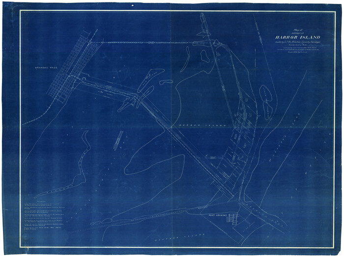
Map of Surveys on Harbor Island

Print $40.00
- Digital $50.00
Map of Surveys on Harbor Island
1912
Size 57.3 x 42.2 inches
Map/Doc 594
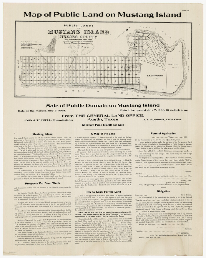
Map of Public Land on Mustang Island

Print $20.00
- Digital $50.00
Map of Public Land on Mustang Island
Size 21.9 x 17.5 inches
Map/Doc 82315
Map of the north west portion of Hutchinson County showing the proposed resurvey of Block M24


Print $20.00
- Digital $50.00
Map of the north west portion of Hutchinson County showing the proposed resurvey of Block M24
Size 29.1 x 31.9 inches
Map/Doc 75814
Childress County, Texas


Print $20.00
- Digital $50.00
Childress County, Texas
1892
Size 29.3 x 22.0 inches
Map/Doc 697
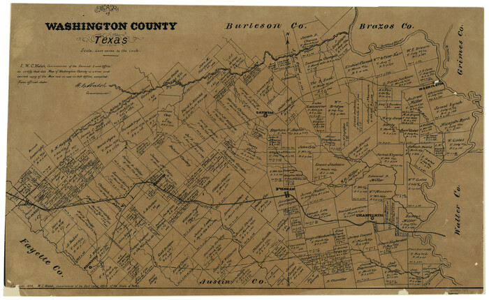
Map of Washington County, Texas

Print $20.00
- Digital $50.00
Map of Washington County, Texas
1879
Size 14.4 x 21.6 inches
Map/Doc 765
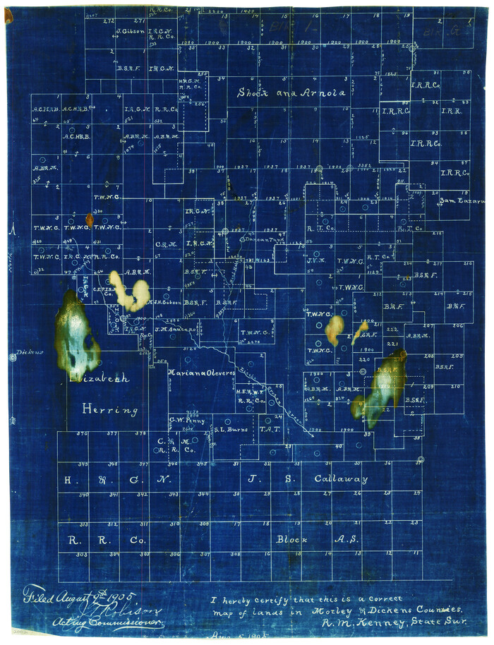
[Kenney's sketch of the surveys in Dickens and Motley Counties]

Print $20.00
- Digital $50.00
[Kenney's sketch of the surveys in Dickens and Motley Counties]
1905
Size 20.1 x 15.7 inches
Map/Doc 367
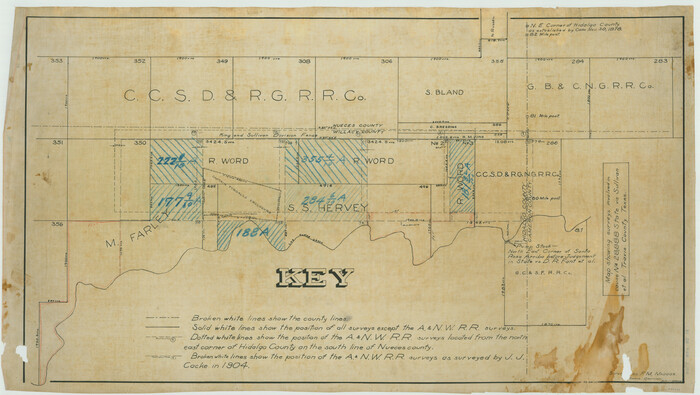
Map showing surveys involved in Cause No. 28888, State vs. Sullivan et al Travis County, Texas

Print $20.00
- Digital $50.00
Map showing surveys involved in Cause No. 28888, State vs. Sullivan et al Travis County, Texas
Size 23.0 x 40.7 inches
Map/Doc 75989
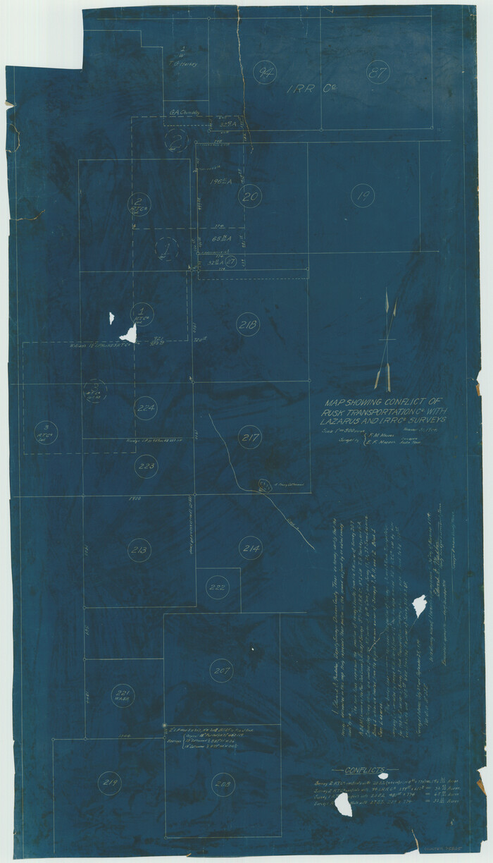
Map showing conflict of Rusk Transportation Co. with Lazarus and I. R.R. Co. Surveys

Print $20.00
- Digital $50.00
Map showing conflict of Rusk Transportation Co. with Lazarus and I. R.R. Co. Surveys
1914
Size 28.9 x 16.6 inches
Map/Doc 75825
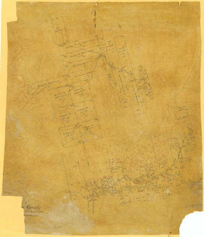
Fisher County

Print $20.00
- Digital $50.00
Fisher County
1880
Size 29.4 x 25.3 inches
Map/Doc 75772
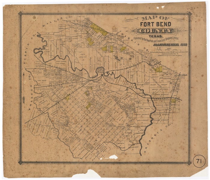
Map of Fort Bend County, Texas

Print $20.00
- Digital $50.00
Map of Fort Bend County, Texas
1882
Size 23.0 x 25.7 inches
Map/Doc 434
Montgomery County, Texas
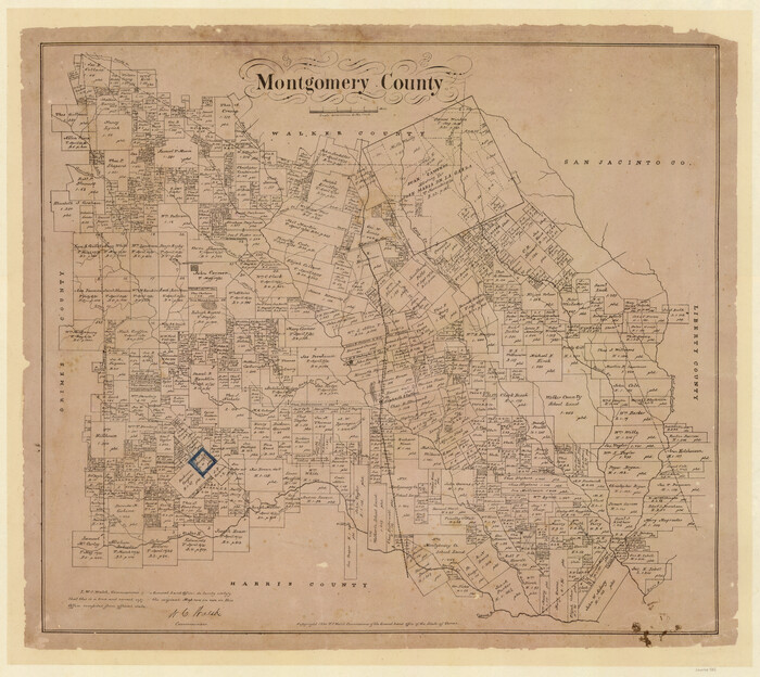

Print $20.00
- Digital $50.00
Montgomery County, Texas
1880
Size 24.6 x 27.6 inches
Map/Doc 582
Sketch of part of the NW part, Hutchinson County
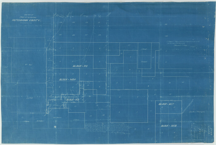

Print $20.00
- Digital $50.00
Sketch of part of the NW part, Hutchinson County
1909
Size 20.9 x 31.2 inches
Map/Doc 75816
You may also like
Flight Mission No. DQO-7K, Frame 98, Galveston County


Print $20.00
- Digital $50.00
Flight Mission No. DQO-7K, Frame 98, Galveston County
1952
Size 18.8 x 22.4 inches
Map/Doc 85113
Medina County Sketch File 6

Print $22.00
- Digital $50.00
Medina County Sketch File 6
1874
Size 8.4 x 12.0 inches
Map/Doc 31454
Moore County Boundary File 1


Print $42.00
- Digital $50.00
Moore County Boundary File 1
Size 8.9 x 3.8 inches
Map/Doc 57452
[H. T. & B. RR. Company, Block 10]
![91397, [H. T. & B. RR. Company, Block 10], Twichell Survey Records](https://historictexasmaps.com/wmedia_w700/maps/91397-1.tif.jpg)
![91397, [H. T. & B. RR. Company, Block 10], Twichell Survey Records](https://historictexasmaps.com/wmedia_w700/maps/91397-1.tif.jpg)
Print $20.00
- Digital $50.00
[H. T. & B. RR. Company, Block 10]
Size 18.3 x 4.0 inches
Map/Doc 91397
San Jacinto County Working Sketch 37
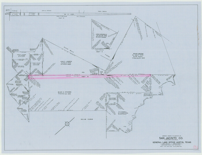

Print $20.00
- Digital $50.00
San Jacinto County Working Sketch 37
1965
Size 32.7 x 42.6 inches
Map/Doc 63750
Terrell County
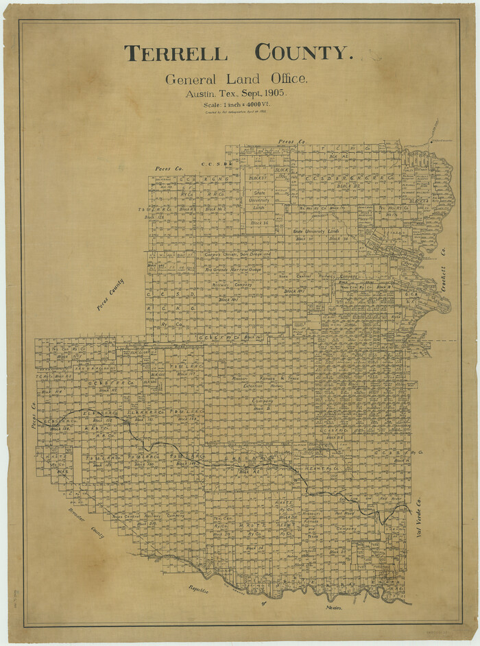

Print $20.00
- Digital $50.00
Terrell County
1905
Size 41.6 x 30.9 inches
Map/Doc 63061
Kinney County Working Sketch 2


Print $20.00
- Digital $50.00
Kinney County Working Sketch 2
1886
Size 20.0 x 20.4 inches
Map/Doc 70184
Map of Portion of Pecos County as Surveyed by F. F. Friend


Print $20.00
- Digital $50.00
Map of Portion of Pecos County as Surveyed by F. F. Friend
1926
Size 18.8 x 15.5 inches
Map/Doc 91561
Stonewall County Sketch File 11
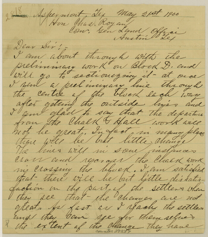

Print $6.00
- Digital $50.00
Stonewall County Sketch File 11
1900
Size 9.7 x 8.5 inches
Map/Doc 37237
[Sketch for Mineral Application 24072, San Jacinto River]
![65605, [Sketch for Mineral Application 24072, San Jacinto River], General Map Collection](https://historictexasmaps.com/wmedia_w700/maps/65605.tif.jpg)
![65605, [Sketch for Mineral Application 24072, San Jacinto River], General Map Collection](https://historictexasmaps.com/wmedia_w700/maps/65605.tif.jpg)
Print $20.00
- Digital $50.00
[Sketch for Mineral Application 24072, San Jacinto River]
1929
Size 23.4 x 17.8 inches
Map/Doc 65605
Webb County Working Sketch 49
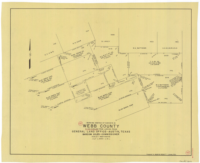

Print $20.00
- Digital $50.00
Webb County Working Sketch 49
1949
Size 22.7 x 27.8 inches
Map/Doc 72414
Milam County Rolled Sketch 2
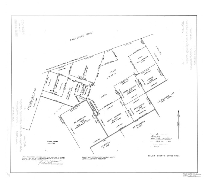

Print $20.00
- Digital $50.00
Milam County Rolled Sketch 2
1954
Size 21.9 x 24.8 inches
Map/Doc 6774
![75817, [Sketch of surveys in Hutchinson County], Maddox Collection](https://historictexasmaps.com/wmedia_w1800h1800/maps/75817.tif.jpg)