Map showing surveys involved in Cause No. 28888, State vs. Sullivan et al Travis County, Texas
-
Map/Doc
75989
-
Collection
Maddox Collection
-
People and Organizations
Maddox (Draftsman)
F.M. Maddox (Surveyor/Engineer)
-
Counties
Hidalgo Willacy Nueces Cameron Kleberg
-
Height x Width
23.0 x 40.7 inches
58.4 x 103.4 cm
-
Medium
linen, manuscript
-
Scale
1:400
-
Comments
Map refers to Hidalgo, Nueces, Willacy and Cameron Counties, but is in present day Kleberg County.
-
Features
Los Olmos Creek
Captain Tyndalls Enclosure
Captain Tindall's Residence
Part of: Maddox Collection
Working Sketch in McMullen County


Print $3.00
- Digital $50.00
Working Sketch in McMullen County
1883
Size 11.7 x 12.1 inches
Map/Doc 576
Burnet County


Print $20.00
- Digital $50.00
Burnet County
1881
Size 16.0 x 16.2 inches
Map/Doc 75785
[Littlefield & White Survey, Kimble County, Texas]
![570, [Littlefield & White Survey, Kimble County, Texas], Maddox Collection](https://historictexasmaps.com/wmedia_w700/maps/0570.tif.jpg)
![570, [Littlefield & White Survey, Kimble County, Texas], Maddox Collection](https://historictexasmaps.com/wmedia_w700/maps/0570.tif.jpg)
Print $20.00
- Digital $50.00
[Littlefield & White Survey, Kimble County, Texas]
Size 18.6 x 14.2 inches
Map/Doc 570
Part of Tom Green County, Texas (No. 1)


Print $20.00
- Digital $50.00
Part of Tom Green County, Texas (No. 1)
1870
Size 22.8 x 17.7 inches
Map/Doc 759
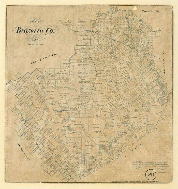
Map of Brazoria County, Texas

Print $20.00
- Digital $50.00
Map of Brazoria County, Texas
1879
Size 28.0 x 26.5 inches
Map/Doc 589
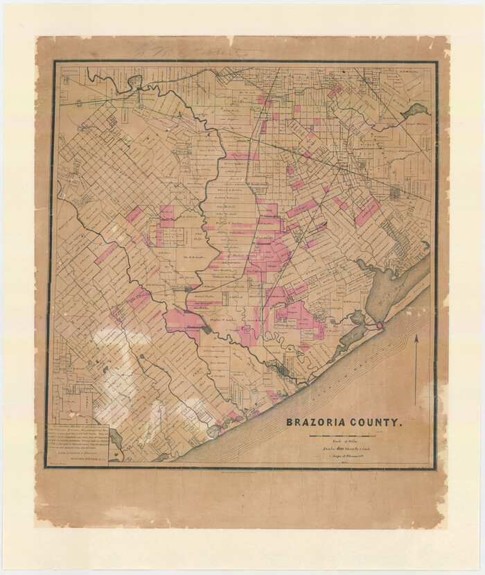
Brazoria County, Texas

Print $20.00
- Digital $50.00
Brazoria County, Texas
1877
Size 24.7 x 21.7 inches
Map/Doc 425
Revised Sectional Map No. 4 showing land surveys in the western portion of the county of El Paso, Texas


Print $20.00
- Digital $50.00
Revised Sectional Map No. 4 showing land surveys in the western portion of the county of El Paso, Texas
Size 19.0 x 24.2 inches
Map/Doc 4477
[Vague Sketches in Brooks County, Texas]
![83352, [Vague Sketches in Brooks County, Texas], Maddox Collection](https://historictexasmaps.com/wmedia_w700/maps/83352.tif.jpg)
![83352, [Vague Sketches in Brooks County, Texas], Maddox Collection](https://historictexasmaps.com/wmedia_w700/maps/83352.tif.jpg)
Print $20.00
- Digital $50.00
[Vague Sketches in Brooks County, Texas]
1906
Size 17.8 x 19.9 inches
Map/Doc 83352
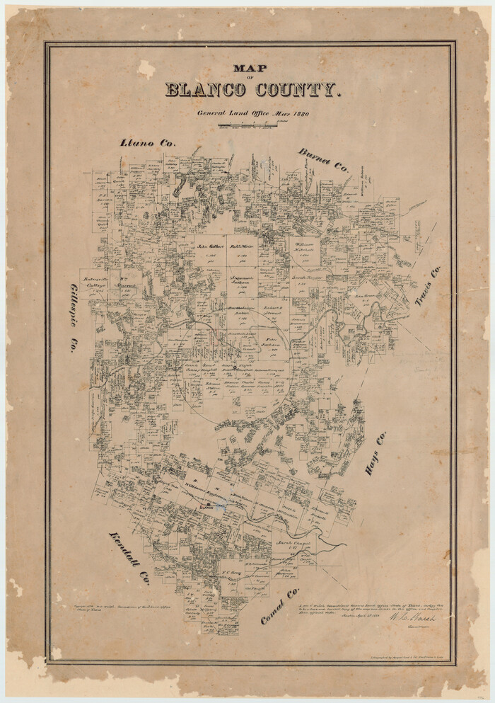
Map of Blanco County, Texas

Print $20.00
- Digital $50.00
Map of Blanco County, Texas
1880
Size 28.5 x 20.1 inches
Map/Doc 406
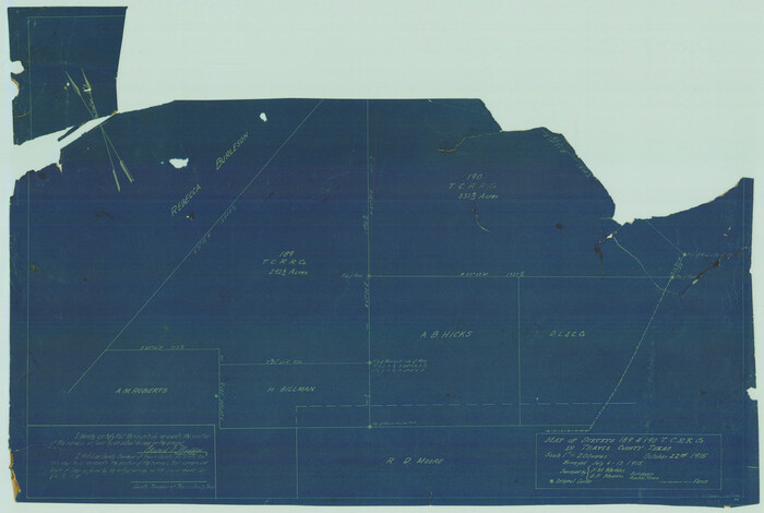
Map of surveys 189 & 190 T. C. R.R. Co. in Travis County, Texas

Print $20.00
- Digital $50.00
Map of surveys 189 & 190 T. C. R.R. Co. in Travis County, Texas
1915
Size 16.1 x 24.0 inches
Map/Doc 5079
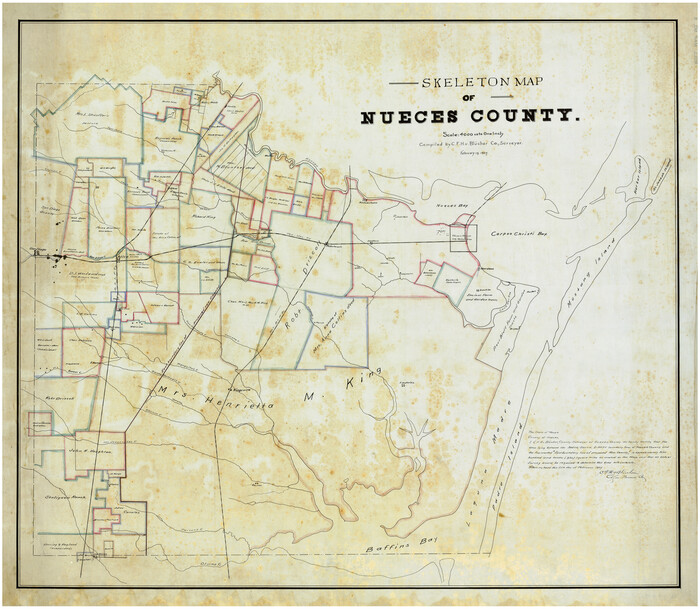
Skeleton Map of Nueces County

Print $20.00
- Digital $50.00
Skeleton Map of Nueces County
1907
Size 32.4 x 37.3 inches
Map/Doc 593
You may also like
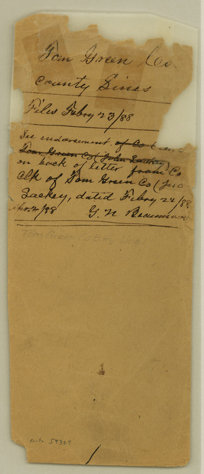
Tom Green County Boundary File 1

Print $48.00
- Digital $50.00
Tom Green County Boundary File 1
Size 8.8 x 3.8 inches
Map/Doc 59329
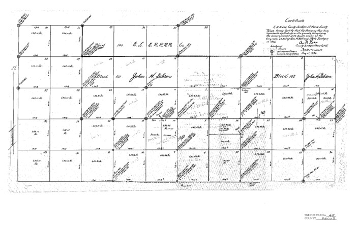
Pecos County Sketch File 45

Print $20.00
- Digital $50.00
Pecos County Sketch File 45
Size 13.8 x 21.7 inches
Map/Doc 12179
Roberts County Working Sketch 14
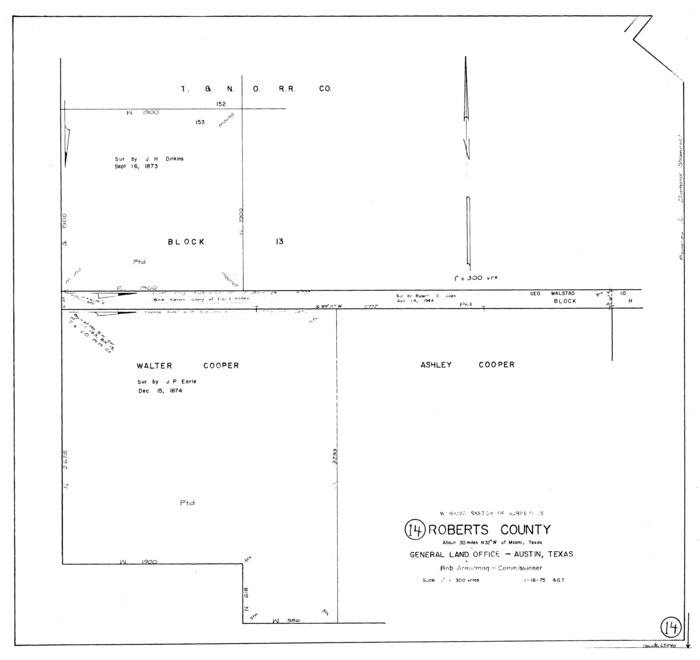

Print $20.00
- Digital $50.00
Roberts County Working Sketch 14
1975
Size 23.1 x 24.6 inches
Map/Doc 63540
Crockett County Rolled Sketch 41


Print $20.00
- Digital $50.00
Crockett County Rolled Sketch 41
Size 24.7 x 19.6 inches
Map/Doc 5591
Oldham County Sketch File 1
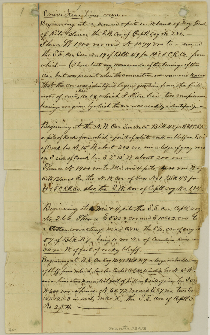

Print $24.00
- Digital $50.00
Oldham County Sketch File 1
1880
Size 12.6 x 7.9 inches
Map/Doc 33213
Comanche County Sketch File 20

Print $40.00
- Digital $50.00
Comanche County Sketch File 20
Size 15.5 x 12.6 inches
Map/Doc 19103
General Highway Map, Brazoria County, Texas
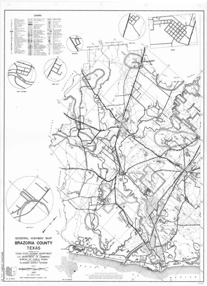

Print $20.00
General Highway Map, Brazoria County, Texas
1961
Size 25.0 x 18.2 inches
Map/Doc 79382
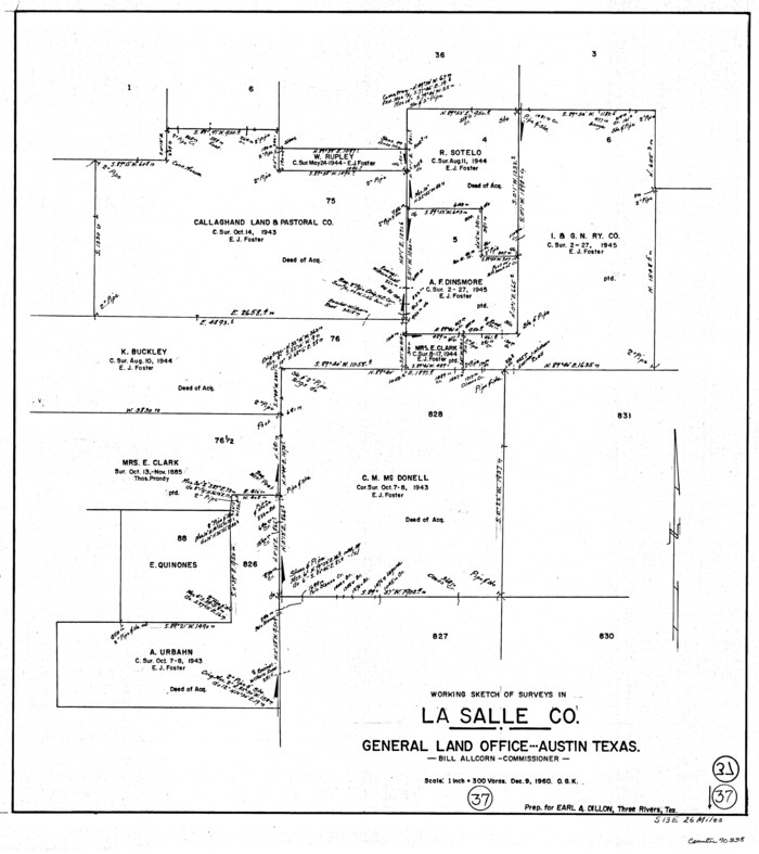
La Salle County Working Sketch 37

Print $20.00
- Digital $50.00
La Salle County Working Sketch 37
1960
Size 24.4 x 21.7 inches
Map/Doc 70338
[Sketch for Mineral Application 13440]
![65674, [Sketch for Mineral Application 13440], General Map Collection](https://historictexasmaps.com/wmedia_w700/maps/65674-1.tif.jpg)
![65674, [Sketch for Mineral Application 13440], General Map Collection](https://historictexasmaps.com/wmedia_w700/maps/65674-1.tif.jpg)
Print $40.00
- Digital $50.00
[Sketch for Mineral Application 13440]
Size 65.8 x 42.9 inches
Map/Doc 65674
Andrews County Rolled Sketch 12


Print $40.00
- Digital $50.00
Andrews County Rolled Sketch 12
1933
Size 58.1 x 39.1 inches
Map/Doc 8390
Guadalupe County Sketch File 16


Print $22.00
- Digital $50.00
Guadalupe County Sketch File 16
Size 15.7 x 12.4 inches
Map/Doc 24694
A New Map of Texas, Oregon and California with the regions adjoining, compiled from the most recent authorities


Print $20.00
- Digital $50.00
A New Map of Texas, Oregon and California with the regions adjoining, compiled from the most recent authorities
Size 22.8 x 20.9 inches
Map/Doc 93990

