[Surveying Sketch of John Knight, Champion Choate, A.M. Lejarza, et al in Hardin County, Texas - Exhibit "G"]
-
Map/Doc
75822
-
Collection
Maddox Collection
-
People and Organizations
K.R. Blackshear (Surveyor/Engineer)
E. Jewell (Surveyor/Engineer)
Wm. Word (Surveyor/Engineer)
-
Counties
Hardin
-
Height x Width
18.3 x 23.5 inches
46.5 x 59.7 cm
-
Medium
paper, manuscript
Part of: Maddox Collection
Map of Kinney County, Texas


Print $20.00
- Digital $50.00
Map of Kinney County, Texas
1879
Size 21.2 x 33.1 inches
Map/Doc 548
Howard County, Texas

Print $20.00
- Digital $50.00
Howard County, Texas
1870
Size 22.7 x 17.9 inches
Map/Doc 733
[Sketch showing voting precincts in Jim Hogg and Brooks Counties]
![4497, [Sketch showing voting precincts in Jim Hogg and Brooks Counties], Maddox Collection](https://historictexasmaps.com/wmedia_w700/maps/4497-1.tif.jpg)
![4497, [Sketch showing voting precincts in Jim Hogg and Brooks Counties], Maddox Collection](https://historictexasmaps.com/wmedia_w700/maps/4497-1.tif.jpg)
Print $20.00
- Digital $50.00
[Sketch showing voting precincts in Jim Hogg and Brooks Counties]
Size 10.1 x 18.2 inches
Map/Doc 4497
Copy of sketch in Nacogdoches Donation 724 on file in GLO


Print $20.00
- Digital $50.00
Copy of sketch in Nacogdoches Donation 724 on file in GLO
1890
Size 18.0 x 10.9 inches
Map/Doc 75803
Saline Ranch in Mason, Kimble and Menard Counties

Print $20.00
- Digital $50.00
Saline Ranch in Mason, Kimble and Menard Counties
1916
Size 28.3 x 27.2 inches
Map/Doc 75806
Revised Sectional Map No. 6 showing land surveys in parts of Presidio and Brewster Counties, Texas


Print $20.00
- Digital $50.00
Revised Sectional Map No. 6 showing land surveys in parts of Presidio and Brewster Counties, Texas
Size 24.2 x 23.0 inches
Map/Doc 4475
Swearingen Township situated in Cottle County, Texas

Print $20.00
- Digital $50.00
Swearingen Township situated in Cottle County, Texas
Size 26.4 x 15.7 inches
Map/Doc 4437
[Sketch Showing G. H. & H. R.R. Co. Block 3B and A. B. & M. Block M16, Hutchinson County, Texas]
![75813, [Sketch Showing G. H. & H. R.R. Co. Block 3B and A. B. & M. Block M16, Hutchinson County, Texas], Maddox Collection](https://historictexasmaps.com/wmedia_w700/maps/75813.tif.jpg)
![75813, [Sketch Showing G. H. & H. R.R. Co. Block 3B and A. B. & M. Block M16, Hutchinson County, Texas], Maddox Collection](https://historictexasmaps.com/wmedia_w700/maps/75813.tif.jpg)
Print $20.00
- Digital $50.00
[Sketch Showing G. H. & H. R.R. Co. Block 3B and A. B. & M. Block M16, Hutchinson County, Texas]
Size 20.7 x 21.5 inches
Map/Doc 75813
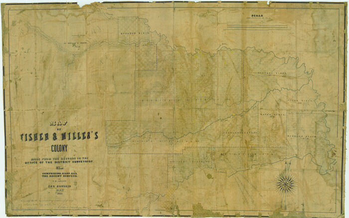
Map of Fisher & Miller's Colony made from the records in the office of the District Surveyor of Bexar comprising also all the recent surveys

Print $20.00
- Digital $50.00
Map of Fisher & Miller's Colony made from the records in the office of the District Surveyor of Bexar comprising also all the recent surveys
1855
Size 22.6 x 36.2 inches
Map/Doc 633
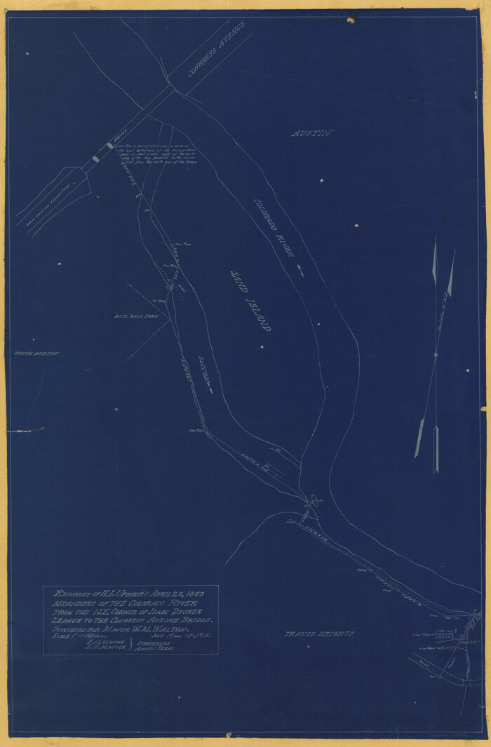
Resurvey of H.L. Upshur's April 23, 1853 meanders of the Colorado River from the NE corner of Isaac Decker league to the Congress Avenue Bridge

Print $20.00
- Digital $50.00
Resurvey of H.L. Upshur's April 23, 1853 meanders of the Colorado River from the NE corner of Isaac Decker league to the Congress Avenue Bridge
1915
Size 24.1 x 15.8 inches
Map/Doc 75774
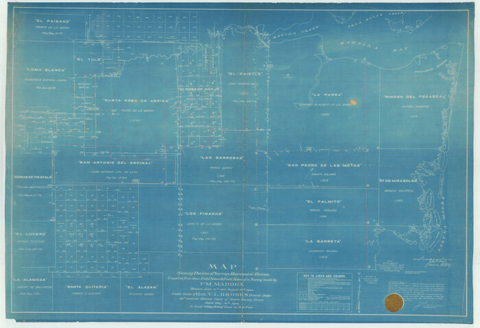
Map Showing Position of Surveys Represented Hereon

Print $40.00
- Digital $50.00
Map Showing Position of Surveys Represented Hereon
Size 39.6 x 57.9 inches
Map/Doc 75810
You may also like
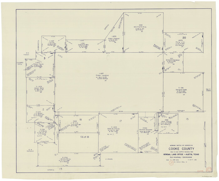
Cooke County Working Sketch 29

Print $20.00
- Digital $50.00
Cooke County Working Sketch 29
1977
Size 28.7 x 35.0 inches
Map/Doc 68266
Bird's Eye View of La Grange, Fayette County, Texas


Print $20.00
Bird's Eye View of La Grange, Fayette County, Texas
1880
Size 24.1 x 31.2 inches
Map/Doc 89096
Potter County Boundary File 6b


Print $20.00
- Digital $50.00
Potter County Boundary File 6b
Size 37.9 x 8.7 inches
Map/Doc 58040
[T. C. RR. Co. Blocks 178, A1, G. C. & S. F. R. R. Co. Block C4, E. L. & R. R. RR C3]
![93214, [T. C. RR. Co. Blocks 178, A1, G. C. & S. F. R. R. Co. Block C4, E. L. & R. R. RR C3], Twichell Survey Records](https://historictexasmaps.com/wmedia_w700/maps/93214-1.tif.jpg)
![93214, [T. C. RR. Co. Blocks 178, A1, G. C. & S. F. R. R. Co. Block C4, E. L. & R. R. RR C3], Twichell Survey Records](https://historictexasmaps.com/wmedia_w700/maps/93214-1.tif.jpg)
Print $20.00
- Digital $50.00
[T. C. RR. Co. Blocks 178, A1, G. C. & S. F. R. R. Co. Block C4, E. L. & R. R. RR C3]
Size 40.1 x 28.7 inches
Map/Doc 93214
Liberty County Rolled Sketch JP1
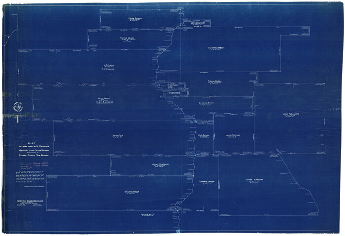

Print $40.00
- Digital $50.00
Liberty County Rolled Sketch JP1
1935
Size 41.9 x 60.8 inches
Map/Doc 9567
Travis County Working Sketch 39
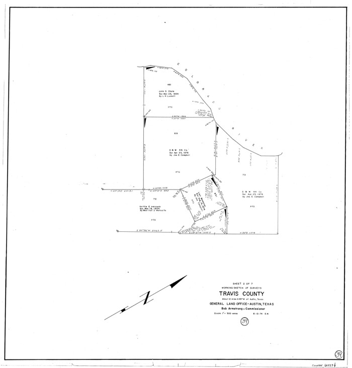

Print $20.00
- Digital $50.00
Travis County Working Sketch 39
1974
Size 33.1 x 31.7 inches
Map/Doc 69423
Maverick County Working Sketch 21


Print $20.00
- Digital $50.00
Maverick County Working Sketch 21
1977
Size 34.6 x 24.0 inches
Map/Doc 70913
Gaines County Rolled Sketch 32
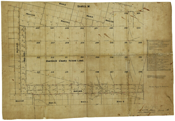

Print $20.00
- Digital $50.00
Gaines County Rolled Sketch 32
1902
Size 20.5 x 29.9 inches
Map/Doc 5945
Schleicher County Sketch File 36


Print $20.00
- Digital $50.00
Schleicher County Sketch File 36
1951
Size 15.2 x 21.7 inches
Map/Doc 12309
Kendall County Working Sketch Graphic Index


Print $20.00
- Digital $50.00
Kendall County Working Sketch Graphic Index
1946
Size 40.3 x 34.8 inches
Map/Doc 76602
General Highway Map, Culberson County, Texas
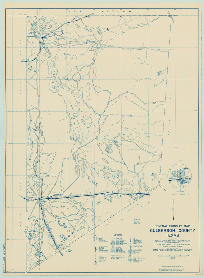

Print $20.00
General Highway Map, Culberson County, Texas
1940
Size 25.2 x 18.5 inches
Map/Doc 79064
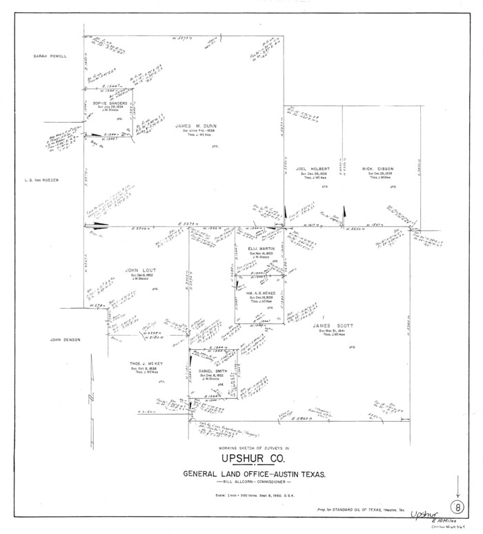
Upshur County Working Sketch 8

Print $20.00
- Digital $50.00
Upshur County Working Sketch 8
1960
Size 29.5 x 26.7 inches
Map/Doc 69564
![75822, [Surveying Sketch of John Knight, Champion Choate, A.M. Lejarza, et al in Hardin County, Texas - Exhibit "G"], Maddox Collection](https://historictexasmaps.com/wmedia_w1800h1800/maps/75822.tif.jpg)
