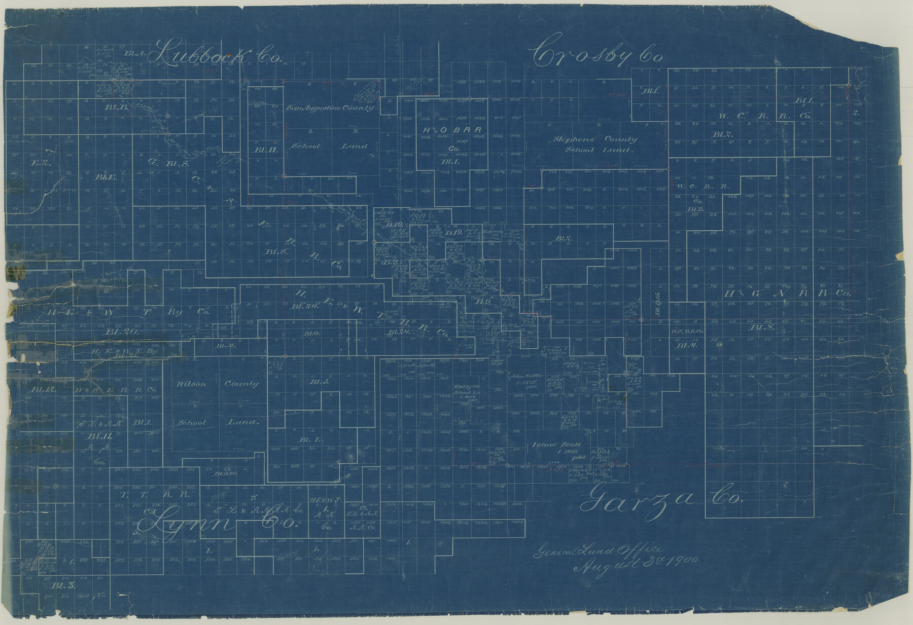
Garza County Rolled Sketch 3
[Sketch of surveys in Garza, Lynn, Lubbock & Crosby Counties]
-
Map/Doc
75937
-
Collection
General Map Collection
-
Object Dates
1900/8/3 (Creation Date)
-
People and Organizations
[W.R. Standefer] (Surveyor/Engineer)
-
Counties
Garza Lynn Lubbock Crosby
-
Subjects
Surveying Rolled Sketch
-
Height x Width
32.7 x 47.7 inches
83.1 x 121.2 cm
-
Medium
blueprint/diazo
-
Comments
See Garza County Rolled Sketch 3 (75940) for accompanying surveyor's statement.
Related maps
Garza County Rolled Sketch 3

Print $2.00
- Digital $50.00
Garza County Rolled Sketch 3
Size 10.0 x 8.1 inches
Map/Doc 75940
Part of: General Map Collection
Liberty County Rolled Sketch A

Print $20.00
- Digital $50.00
Liberty County Rolled Sketch A
1919
Size 31.8 x 35.9 inches
Map/Doc 9569
Coryell County Sketch File 26

Print $10.00
- Digital $50.00
Coryell County Sketch File 26
1951
Size 11.1 x 8.5 inches
Map/Doc 19393
Lampasas County Working Sketch 16

Print $20.00
- Digital $50.00
Lampasas County Working Sketch 16
1977
Size 27.6 x 19.6 inches
Map/Doc 70293
Jeff Davis Co.

Print $40.00
- Digital $50.00
Jeff Davis Co.
1915
Size 30.4 x 52.2 inches
Map/Doc 66881
Tarrant County Sketch File 25

Print $4.00
- Digital $50.00
Tarrant County Sketch File 25
1873
Size 8.2 x 8.6 inches
Map/Doc 37737
Titus County Sketch File 4

Print $4.00
- Digital $50.00
Titus County Sketch File 4
Size 8.2 x 10.2 inches
Map/Doc 38136
Calhoun County Rolled Sketch 30

Print $20.00
- Digital $50.00
Calhoun County Rolled Sketch 30
1974
Size 18.5 x 27.5 inches
Map/Doc 5488
Erath County Working Sketch 23

Print $20.00
- Digital $50.00
Erath County Working Sketch 23
1966
Size 38.2 x 29.0 inches
Map/Doc 69104
Cochran County

Print $20.00
- Digital $50.00
Cochran County
1899
Size 41.1 x 34.1 inches
Map/Doc 66755
Gregg County Rolled Sketch 24

Print $40.00
- Digital $50.00
Gregg County Rolled Sketch 24
Size 40.0 x 49.7 inches
Map/Doc 9075
Williamson County Sketch File 16a

Print $4.00
- Digital $50.00
Williamson County Sketch File 16a
1870
Size 7.0 x 8.4 inches
Map/Doc 40336
Orange County Rolled Sketch 33

Print $40.00
- Digital $50.00
Orange County Rolled Sketch 33
Size 58.4 x 50.1 inches
Map/Doc 9652
You may also like
Lamar County Sketch File 8

Print $20.00
- Digital $50.00
Lamar County Sketch File 8
1895
Size 21.4 x 23.1 inches
Map/Doc 11966
Val Verde County Sketch File Z8

Print $20.00
- Digital $50.00
Val Verde County Sketch File Z8
1884
Size 25.2 x 19.9 inches
Map/Doc 12553
Map of Wharton County

Print $20.00
- Digital $50.00
Map of Wharton County
1884
Size 24.8 x 28.0 inches
Map/Doc 4137
Jefferson County Rolled Sketch 12

Print $2.00
- Digital $50.00
Jefferson County Rolled Sketch 12
Size 12.2 x 7.1 inches
Map/Doc 9279
Flight Mission No. BQR-3K, Frame 162, Brazoria County

Print $20.00
- Digital $50.00
Flight Mission No. BQR-3K, Frame 162, Brazoria County
1952
Size 18.7 x 22.4 inches
Map/Doc 83989
Laguna Madre, Texas from Triangulation Station Singer to Latitude 26° 20'

Print $40.00
- Digital $50.00
Laguna Madre, Texas from Triangulation Station Singer to Latitude 26° 20'
1880
Size 31.9 x 53.4 inches
Map/Doc 73493
Menard County Boundary File 1

Print $14.00
- Digital $50.00
Menard County Boundary File 1
Size 12.7 x 8.1 inches
Map/Doc 57035
Travis County Rolled Sketch 47

Print $40.00
- Digital $50.00
Travis County Rolled Sketch 47
1928
Size 57.3 x 26.1 inches
Map/Doc 10627
Austin Old and New, a Mapguide to the Heart of the City including Capitol Complex & Government Buildings, Downtown Streets and Buildings, the University of Texas, Historical Sites, Parks & Trails, Sixth Street, Town Lake, Museums

Austin Old and New, a Mapguide to the Heart of the City including Capitol Complex & Government Buildings, Downtown Streets and Buildings, the University of Texas, Historical Sites, Parks & Trails, Sixth Street, Town Lake, Museums
Size 25.4 x 31.3 inches
Map/Doc 94379
Jefferson County Rolled Sketch 41

Print $20.00
- Digital $50.00
Jefferson County Rolled Sketch 41
1897
Size 25.1 x 17.8 inches
Map/Doc 6399
[Sketch of Blocks M-19, 21W, JAD, 9 and G. & M. Block 5]
![91736, [Sketch of Blocks M-19, 21W, JAD, 9 and G. & M. Block 5], Twichell Survey Records](https://historictexasmaps.com/wmedia_w700/maps/91736-1.tif.jpg)
Print $20.00
- Digital $50.00
[Sketch of Blocks M-19, 21W, JAD, 9 and G. & M. Block 5]
Size 34.0 x 25.9 inches
Map/Doc 91736
Flight Mission No. BQY-15M, Frame 3, Harris County

Print $20.00
- Digital $50.00
Flight Mission No. BQY-15M, Frame 3, Harris County
1953
Size 18.7 x 22.5 inches
Map/Doc 85301