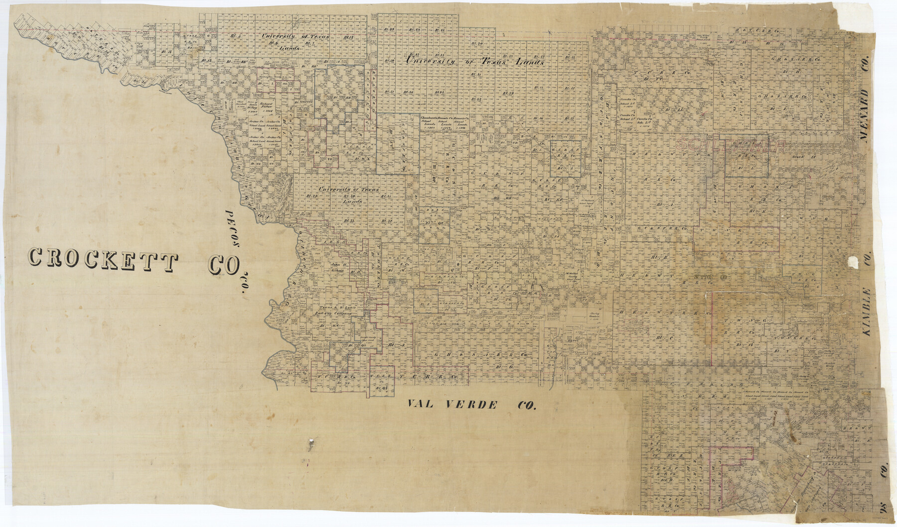
Crockett Co.
-
Map/Doc
76017
-
Collection
General Map Collection
-
People and Organizations
Texas General Land Office (Publisher)
-
Counties
Crockett
-
Subjects
County
-
Height x Width
40.1 x 68.3 inches
101.9 x 173.5 cm
Part of: General Map Collection
Atascosa County Working Sketch 34

Print $20.00
- Digital $50.00
Atascosa County Working Sketch 34
1958
Size 13.3 x 25.5 inches
Map/Doc 67230
Map of Tascosa, Oldham County, Texas

Print $20.00
- Digital $50.00
Map of Tascosa, Oldham County, Texas
1886
Size 28.2 x 14.6 inches
Map/Doc 83011
Flight Mission No. CRC-3R, Frame 208, Chambers County

Print $20.00
- Digital $50.00
Flight Mission No. CRC-3R, Frame 208, Chambers County
1956
Size 18.6 x 22.3 inches
Map/Doc 84863
Aransas County Sketch File 4

Print $4.00
- Digital $50.00
Aransas County Sketch File 4
1848
Size 10.8 x 8.9 inches
Map/Doc 13106
Liberty County Working Sketch 83

Print $40.00
- Digital $50.00
Liberty County Working Sketch 83
1981
Size 68.4 x 37.8 inches
Map/Doc 70543
Right of Way and Track Map International & Gt. Northern Ry. operated by the International & Gt. Northern Ry. Co., Columbia Branch Gulf Division

Print $40.00
- Digital $50.00
Right of Way and Track Map International & Gt. Northern Ry. operated by the International & Gt. Northern Ry. Co., Columbia Branch Gulf Division
1917
Size 24.8 x 56.3 inches
Map/Doc 64593
Rusk County Rolled Sketch 6

Print $20.00
- Digital $50.00
Rusk County Rolled Sketch 6
1949
Size 33.7 x 26.6 inches
Map/Doc 7543
Floyd County Sketch File 9

Print $20.00
- Digital $50.00
Floyd County Sketch File 9
1901
Size 22.1 x 15.3 inches
Map/Doc 11484
Flight Mission No. BRA-6T, Frame 117, Jefferson County

Print $20.00
- Digital $50.00
Flight Mission No. BRA-6T, Frame 117, Jefferson County
1957
Size 18.6 x 18.4 inches
Map/Doc 85786
Flight Mission No. BQR-16K, Frame 37, Brazoria County

Print $20.00
- Digital $50.00
Flight Mission No. BQR-16K, Frame 37, Brazoria County
1952
Size 18.6 x 22.3 inches
Map/Doc 84104
Medina County Working Sketch 11

Print $20.00
- Digital $50.00
Medina County Working Sketch 11
1963
Size 21.8 x 26.5 inches
Map/Doc 70926
Jackson County Sketch File 16

Print $10.00
- Digital $50.00
Jackson County Sketch File 16
1913
Size 14.3 x 8.7 inches
Map/Doc 27668
You may also like
[I. M. Bolton, L. S. Thacker, and R. C. Poteet Subdivisions]
![92579, [I. M. Bolton, L. S. Thacker, and R. C. Poteet Subdivisions], Twichell Survey Records](https://historictexasmaps.com/wmedia_w700/maps/92579-1.tif.jpg)
Print $20.00
- Digital $50.00
[I. M. Bolton, L. S. Thacker, and R. C. Poteet Subdivisions]
1924
Size 18.3 x 24.8 inches
Map/Doc 92579
A Splendid Endorsement of the Red River Valley Lands in the Famous Red River Valley of North Texas

Print $20.00
- Digital $50.00
A Splendid Endorsement of the Red River Valley Lands in the Famous Red River Valley of North Texas
1901
Size 10.2 x 12.7 inches
Map/Doc 96601
Erath County Working Sketch 19

Print $20.00
- Digital $50.00
Erath County Working Sketch 19
1963
Size 30.1 x 27.6 inches
Map/Doc 69100
Reyno de la Nueva España a Principios del Siglo XIX

Print $20.00
- Digital $50.00
Reyno de la Nueva España a Principios del Siglo XIX
1885
Size 25.6 x 32.7 inches
Map/Doc 93751
Flight Mission No. DQO-2K, Frame 148, Galveston County

Print $20.00
- Digital $50.00
Flight Mission No. DQO-2K, Frame 148, Galveston County
1952
Size 18.8 x 22.5 inches
Map/Doc 85045
Reeves County Working Sketch 40

Print $40.00
- Digital $50.00
Reeves County Working Sketch 40
1973
Size 66.0 x 39.2 inches
Map/Doc 63483
Van Zandt County Sketch File 16b

Print $2.00
- Digital $50.00
Van Zandt County Sketch File 16b
Size 12.8 x 8.3 inches
Map/Doc 39416
Flight Mission No. CGI-3N, Frame 127, Cameron County

Print $20.00
- Digital $50.00
Flight Mission No. CGI-3N, Frame 127, Cameron County
1954
Size 18.8 x 22.4 inches
Map/Doc 84600
Map of Texas and Adjacent Regions in the Eighteenth Century

Print $20.00
Map of Texas and Adjacent Regions in the Eighteenth Century
1915
Size 19.3 x 23.3 inches
Map/Doc 79743
Nueces County Rolled Sketch 63A

Print $20.00
- Digital $50.00
Nueces County Rolled Sketch 63A
1979
Size 25.0 x 36.7 inches
Map/Doc 6910
Die Eisenbahm von dem Missisippi nach dem stillen Ocean (Californien)

Print $20.00
- Digital $50.00
Die Eisenbahm von dem Missisippi nach dem stillen Ocean (Californien)
1856
Size 14.0 x 14.8 inches
Map/Doc 94075
General Highway Map. Detail of Cities and Towns in Harris County, Texas

Print $20.00
General Highway Map. Detail of Cities and Towns in Harris County, Texas
1939
Size 18.3 x 24.7 inches
Map/Doc 79120