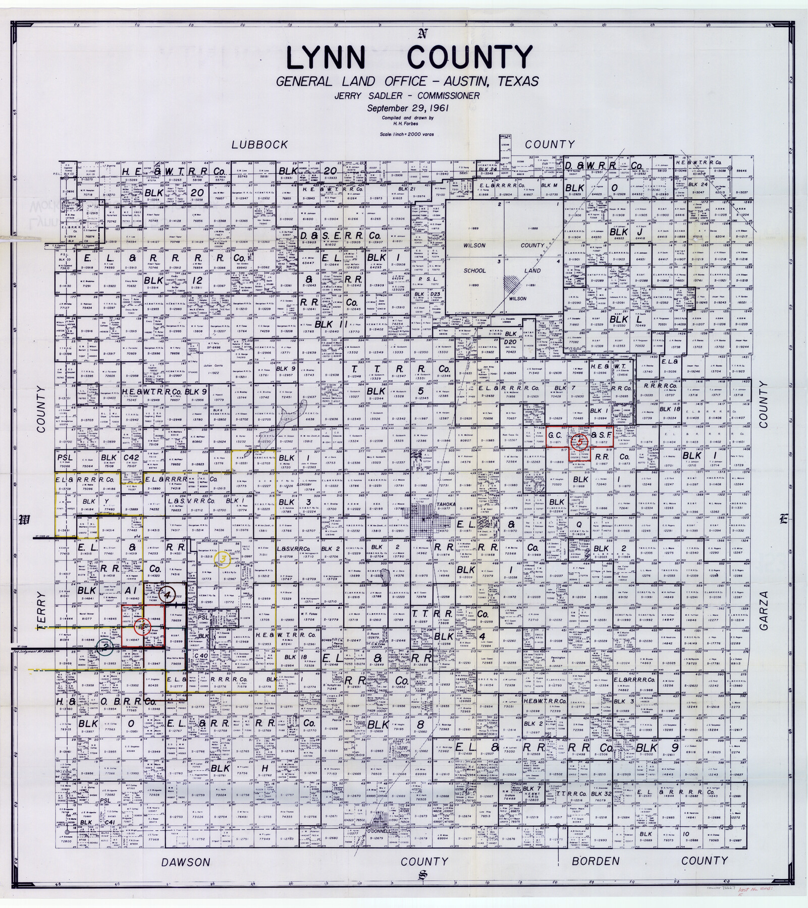
Lynn County Working Sketch Graphic Index
-
Map/Doc
76627
-
Collection
General Map Collection
-
Object Dates
9/29/1961 (Creation Date)
-
People and Organizations
H.H. Forbes (Draftsman)
-
Counties
Lynn
-
Subjects
County Surveying Working Sketch
-
Height x Width
38.7 x 35.1 inches
98.3 x 89.2 cm
-
Scale
1" = 2000 varas
Part of: General Map Collection
Red River County Working Sketch 58

Print $40.00
- Digital $50.00
Red River County Working Sketch 58
1972
Size 51.4 x 39.0 inches
Map/Doc 72041
Presidio County Working Sketch 2

Print $20.00
- Digital $50.00
Presidio County Working Sketch 2
1907
Size 29.4 x 22.1 inches
Map/Doc 71676
Right of Way and Track Map Houston & Texas Central R.R. operated by the T. and N. O. R.R. Co., Fort Worth Branch

Print $40.00
- Digital $50.00
Right of Way and Track Map Houston & Texas Central R.R. operated by the T. and N. O. R.R. Co., Fort Worth Branch
1918
Size 31.4 x 58.5 inches
Map/Doc 64544
[F. W. & D. C. Ry. Co. Alignment and Right of Way Map, Clay County]
![64747, [F. W. & D. C. Ry. Co. Alignment and Right of Way Map, Clay County], General Map Collection](https://historictexasmaps.com/wmedia_w700/maps/64747-GC.tif.jpg)
Print $20.00
- Digital $50.00
[F. W. & D. C. Ry. Co. Alignment and Right of Way Map, Clay County]
1927
Size 18.7 x 11.9 inches
Map/Doc 64747
Flight Mission No. DCL-6C, Frame 128, Kenedy County

Print $20.00
- Digital $50.00
Flight Mission No. DCL-6C, Frame 128, Kenedy County
1943
Size 18.6 x 22.3 inches
Map/Doc 85958
Leon County Rolled Sketch 27

Print $40.00
- Digital $50.00
Leon County Rolled Sketch 27
1990
Size 54.3 x 45.0 inches
Map/Doc 9436
Dallas County Boundary File 6d

Print $104.00
- Digital $50.00
Dallas County Boundary File 6d
Size 14.2 x 8.6 inches
Map/Doc 52229
Stephens County Working Sketch Graphic Index

Print $20.00
- Digital $50.00
Stephens County Working Sketch Graphic Index
1940
Size 41.1 x 39.4 inches
Map/Doc 76702
Cooke County Sketch File 3

Print $2.00
- Digital $50.00
Cooke County Sketch File 3
1873
Size 6.3 x 7.7 inches
Map/Doc 19222
Flight Mission No. DQO-3K, Frame 22, Galveston County

Print $20.00
- Digital $50.00
Flight Mission No. DQO-3K, Frame 22, Galveston County
1952
Size 18.8 x 22.5 inches
Map/Doc 85063
Robertson County Sketch File 6

Print $4.00
Robertson County Sketch File 6
1870
Size 8.9 x 7.6 inches
Map/Doc 35362
Castro County Rolled Sketch 11

Print $20.00
- Digital $50.00
Castro County Rolled Sketch 11
1940
Size 20.2 x 25.3 inches
Map/Doc 5420
You may also like
No. 7 Presidio County

Print $20.00
- Digital $50.00
No. 7 Presidio County
Size 23.9 x 26.2 inches
Map/Doc 3969
Zavala County

Print $20.00
- Digital $50.00
Zavala County
1977
Size 36.6 x 41.6 inches
Map/Doc 77468
Flight Mission No. DAG-21K, Frame 119, Matagorda County

Print $20.00
- Digital $50.00
Flight Mission No. DAG-21K, Frame 119, Matagorda County
1952
Size 18.6 x 22.5 inches
Map/Doc 86445
Flight Mission No. CRE-1R, Frame 132, Jackson County

Print $20.00
- Digital $50.00
Flight Mission No. CRE-1R, Frame 132, Jackson County
1956
Size 16.2 x 16.0 inches
Map/Doc 85340
La Salle County Rolled Sketch 6A

Print $40.00
- Digital $50.00
La Salle County Rolled Sketch 6A
1941
Size 46.0 x 69.8 inches
Map/Doc 10724
Travis County Working Sketch 46

Print $20.00
- Digital $50.00
Travis County Working Sketch 46
1981
Size 46.6 x 36.9 inches
Map/Doc 69430
Maps of Gulf Intracoastal Waterway, Texas - Sabine River to the Rio Grande and connecting waterways including ship channels

Print $20.00
- Digital $50.00
Maps of Gulf Intracoastal Waterway, Texas - Sabine River to the Rio Grande and connecting waterways including ship channels
1966
Size 14.5 x 22.2 inches
Map/Doc 61964
Hood County Working Sketch 23

Print $20.00
- Digital $50.00
Hood County Working Sketch 23
1993
Size 23.6 x 32.9 inches
Map/Doc 66217
Blanco County Rolled Sketch 14

Print $20.00
- Digital $50.00
Blanco County Rolled Sketch 14
Size 26.0 x 19.7 inches
Map/Doc 5150
Wilson County Sketch File A

Print $4.00
- Digital $50.00
Wilson County Sketch File A
1898
Size 8.3 x 7.4 inches
Map/Doc 40423
General Highway Map. Detail of Cities and Towns in Hardin County, Texas [Silsbee and vicinity]
![79500, General Highway Map. Detail of Cities and Towns in Hardin County, Texas [Silsbee and vicinity], Texas State Library and Archives](https://historictexasmaps.com/wmedia_w700/maps/79500.tif.jpg)
Print $20.00
General Highway Map. Detail of Cities and Towns in Hardin County, Texas [Silsbee and vicinity]
1961
Size 18.1 x 24.7 inches
Map/Doc 79500
Map of Caldwell County, Texas

Print $20.00
Map of Caldwell County, Texas
1879
Size 17.4 x 21.5 inches
Map/Doc 88914