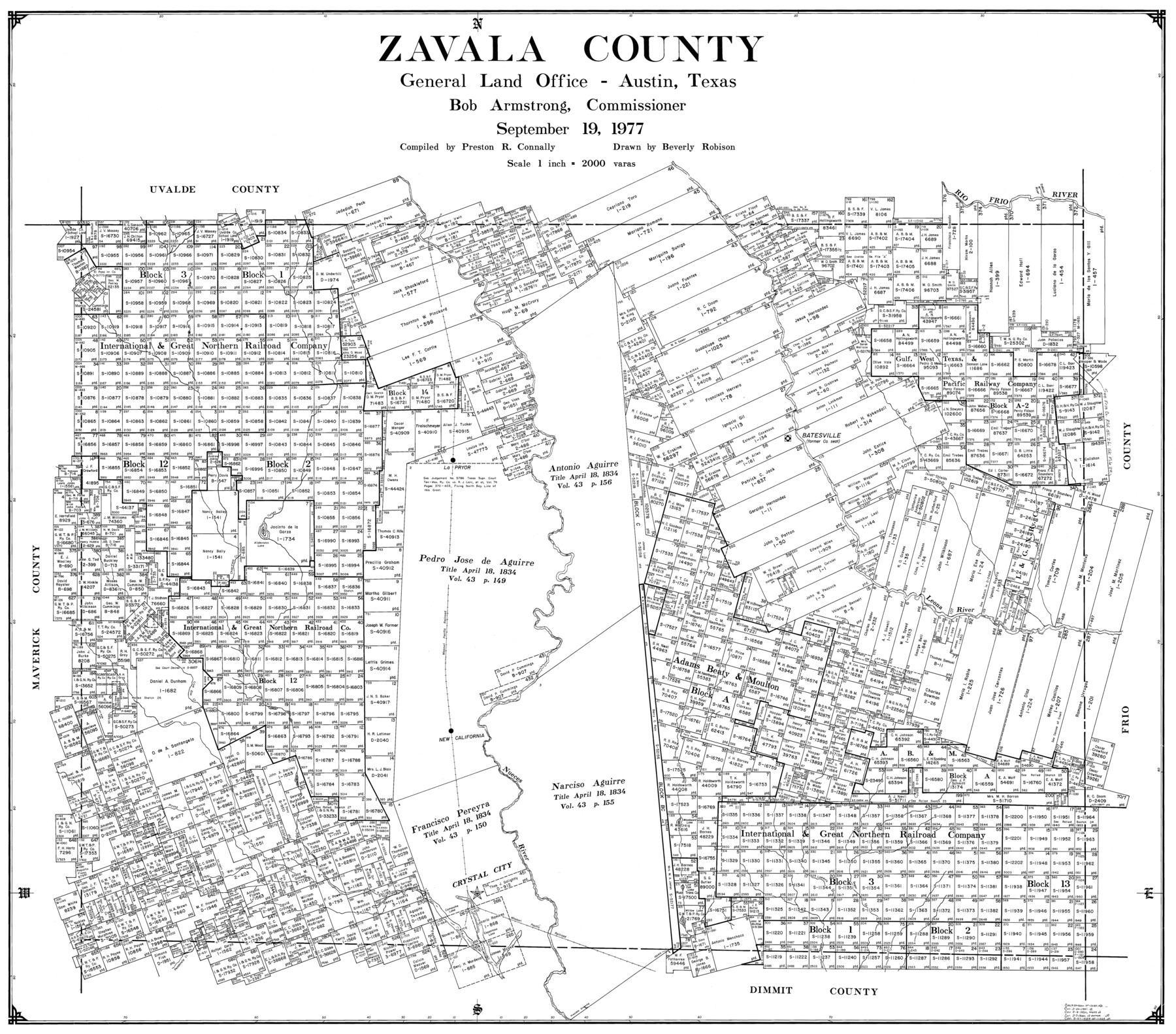
Zavala County
-
Map/Doc
77468
-
Collection
General Map Collection
-
Object Dates
1977/9/19 (Creation Date)
-
People and Organizations
Beverly Robison (Draftsman)
Preston R. Connally (Compiler)
-
Counties
Zavala
-
Subjects
County
-
Height x Width
36.6 x 41.6 inches
93.0 x 105.7 cm
Part of: General Map Collection
Brazoria County Rolled Sketch 25A

Print $259.00
- Digital $50.00
Brazoria County Rolled Sketch 25A
Size 10.1 x 17.0 inches
Map/Doc 42749
Jeff Davis County Sketch File R

Print $12.00
- Digital $50.00
Jeff Davis County Sketch File R
Size 6.0 x 8.7 inches
Map/Doc 28017
Galveston County Rolled Sketch 46

Print $40.00
- Digital $50.00
Galveston County Rolled Sketch 46
2000
Size 32.0 x 48.3 inches
Map/Doc 5981
Grimes County Working Sketch 8

Print $20.00
- Digital $50.00
Grimes County Working Sketch 8
1976
Size 35.0 x 32.7 inches
Map/Doc 63299
Angelina County Boundary File 1

Print $16.00
- Digital $50.00
Angelina County Boundary File 1
Size 12.9 x 8.3 inches
Map/Doc 49765

Parker County Sketch File 5

Print $4.00
- Digital $50.00
Parker County Sketch File 5
1858
Size 8.1 x 8.2 inches
Map/Doc 33528
Sutton County Sketch File 54

Print $6.00
- Digital $50.00
Sutton County Sketch File 54
1948
Size 10.8 x 11.5 inches
Map/Doc 37534
Roberts County Rolled Sketch 3

Print $40.00
- Digital $50.00
Roberts County Rolled Sketch 3
Size 38.0 x 49.7 inches
Map/Doc 8357
Hudspeth County Working Sketch 25

Print $20.00
- Digital $50.00
Hudspeth County Working Sketch 25
1971
Size 24.6 x 28.0 inches
Map/Doc 66307
Glasscock County Working Sketch 2

Print $20.00
- Digital $50.00
Glasscock County Working Sketch 2
Size 32.0 x 28.0 inches
Map/Doc 63175
Bexar County Working Sketch 5

Print $20.00
- Digital $50.00
Bexar County Working Sketch 5
1943
Size 25.3 x 25.0 inches
Map/Doc 67321
You may also like
From Citizens of Nacogdoches County Living East of the Trinity River and Along the Old San Antonio Road for the Creation of a New County (Unnamed), April 22, 1837

Print $20.00
From Citizens of Nacogdoches County Living East of the Trinity River and Along the Old San Antonio Road for the Creation of a New County (Unnamed), April 22, 1837
2020
Size 19.9 x 21.7 inches
Map/Doc 96374
Flight Mission No. DQN-1K, Frame 114, Calhoun County

Print $20.00
- Digital $50.00
Flight Mission No. DQN-1K, Frame 114, Calhoun County
1953
Size 18.5 x 22.3 inches
Map/Doc 84180
Jefferson County

Print $20.00
- Digital $50.00
Jefferson County
1873
Size 22.9 x 19.9 inches
Map/Doc 3728
General Highway Map, Runnels County, Texas

Print $20.00
General Highway Map, Runnels County, Texas
1961
Size 24.6 x 18.2 inches
Map/Doc 79642
Jefferson County Sketch File 8

Print $8.00
- Digital $50.00
Jefferson County Sketch File 8
Size 8.0 x 7.6 inches
Map/Doc 28116
Location of the Southern Kansas Railway of Texas, Gray County, Texas

Print $40.00
- Digital $50.00
Location of the Southern Kansas Railway of Texas, Gray County, Texas
1887
Size 19.9 x 75.3 inches
Map/Doc 64036
Bell County Working Sketch 8

Print $20.00
- Digital $50.00
Bell County Working Sketch 8
1954
Size 44.2 x 37.3 inches
Map/Doc 67348
Map of Kerr County Texas

Print $20.00
- Digital $50.00
Map of Kerr County Texas
1879
Size 20.5 x 28.5 inches
Map/Doc 4575
The Republic County of Harrison. February 1, 1842

Print $20.00
The Republic County of Harrison. February 1, 1842
2020
Size 18.6 x 21.7 inches
Map/Doc 96172
Glasscock County Working Sketch 3

Print $20.00
- Digital $50.00
Glasscock County Working Sketch 3
Size 16.8 x 28.0 inches
Map/Doc 63176
Val Verde County Sketch File XXX3

Print $6.00
- Digital $50.00
Val Verde County Sketch File XXX3
Size 11.0 x 16.8 inches
Map/Doc 39096
General Highway Map, Anderson County, Texas

Print $20.00
General Highway Map, Anderson County, Texas
1936
Size 18.4 x 24.9 inches
Map/Doc 79001