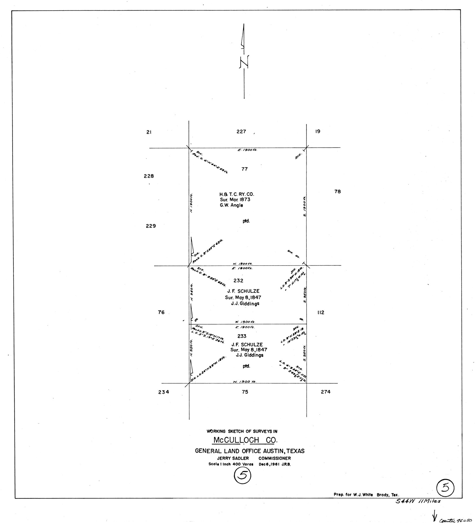
McCulloch County Working Sketch 5
-
Map/Doc
70680
-
Collection
General Map Collection
-
Object Dates
12/6/1961 (Creation Date)
-
Counties
McCulloch
-
Subjects
Surveying Working Sketch
-
Height x Width
21.3 x 19.2 inches
54.1 x 48.8 cm
-
Scale
1" = 400 varas
Part of: General Map Collection
Harris County Sketch File 83

Print $20.00
- Digital $50.00
Harris County Sketch File 83
1898
Size 18.5 x 27.3 inches
Map/Doc 11671
Map of Lavaca County

Print $20.00
- Digital $50.00
Map of Lavaca County
1884
Size 21.7 x 22.5 inches
Map/Doc 3804
San Saba County Sketch File 3

Print $4.00
- Digital $50.00
San Saba County Sketch File 3
1848
Size 12.5 x 7.9 inches
Map/Doc 36408
Culberson County Working Sketch 29

Print $40.00
- Digital $50.00
Culberson County Working Sketch 29
1957
Size 21.8 x 117.6 inches
Map/Doc 68482
Flight Mission No. DCL-7C, Frame 52, Kenedy County

Print $20.00
- Digital $50.00
Flight Mission No. DCL-7C, Frame 52, Kenedy County
1943
Size 16.7 x 16.4 inches
Map/Doc 86040
Harris County Rolled Sketch 88

Print $20.00
- Digital $50.00
Harris County Rolled Sketch 88
1934
Size 35.2 x 23.2 inches
Map/Doc 6120
Winkler County Working Sketch 10

Print $40.00
- Digital $50.00
Winkler County Working Sketch 10
1960
Size 30.3 x 61.0 inches
Map/Doc 72604
Flight Mission No. DQO-11K, Frame 25, Galveston County

Print $20.00
- Digital $50.00
Flight Mission No. DQO-11K, Frame 25, Galveston County
1952
Size 18.8 x 22.4 inches
Map/Doc 85222
Flight Mission No. BRA-16M, Frame 171, Jefferson County

Print $20.00
- Digital $50.00
Flight Mission No. BRA-16M, Frame 171, Jefferson County
1953
Size 18.6 x 22.3 inches
Map/Doc 85769
Kendall County Working Sketch 28a

Print $20.00
- Digital $50.00
Kendall County Working Sketch 28a
2006
Size 29.8 x 45.0 inches
Map/Doc 83097
Liberty County Working Sketch 7

Print $20.00
- Digital $50.00
Liberty County Working Sketch 7
1906
Size 22.2 x 24.8 inches
Map/Doc 70466
Louisiana and Texas Intracoastal Waterway

Print $20.00
- Digital $50.00
Louisiana and Texas Intracoastal Waterway
1929
Size 13.8 x 19.7 inches
Map/Doc 83340
You may also like
La Salle County Rolled Sketch 12

Print $20.00
- Digital $50.00
La Salle County Rolled Sketch 12
Size 25.3 x 37.2 inches
Map/Doc 6575
Flight Mission No. BRA-7M, Frame 122, Jefferson County

Print $20.00
- Digital $50.00
Flight Mission No. BRA-7M, Frame 122, Jefferson County
1953
Size 18.7 x 22.3 inches
Map/Doc 85516
Archer County Working Sketch 7

Print $20.00
- Digital $50.00
Archer County Working Sketch 7
1921
Size 32.6 x 24.9 inches
Map/Doc 67147
Sutton County Working Sketch 48

Print $20.00
- Digital $50.00
Sutton County Working Sketch 48
1955
Size 34.8 x 33.1 inches
Map/Doc 62391
General Highway Map, Navarro County, Texas

Print $20.00
General Highway Map, Navarro County, Texas
1961
Size 19.3 x 25.0 inches
Map/Doc 79610
Stephens County Sketch File 10

Print $4.00
- Digital $50.00
Stephens County Sketch File 10
Size 10.8 x 8.4 inches
Map/Doc 37042
Kimble County Sketch File 41

Print $10.00
- Digital $50.00
Kimble County Sketch File 41
1994
Size 11.2 x 8.7 inches
Map/Doc 29010
Falls County Sketch File 16

Print $8.00
- Digital $50.00
Falls County Sketch File 16
Size 13.3 x 8.5 inches
Map/Doc 22374
Duval County Sketch File 58

Print $20.00
- Digital $50.00
Duval County Sketch File 58
1940
Size 18.3 x 19.0 inches
Map/Doc 11406
South Sulphur River, Bonner Point Sheet

Print $20.00
- Digital $50.00
South Sulphur River, Bonner Point Sheet
1922
Size 32.9 x 35.7 inches
Map/Doc 65164
[Beaumont, Sour Lake and Western Ry. Right of Way and Alignment - Frisco]
![64124, [Beaumont, Sour Lake and Western Ry. Right of Way and Alignment - Frisco], General Map Collection](https://historictexasmaps.com/wmedia_w700/maps/64124.tif.jpg)
Print $20.00
- Digital $50.00
[Beaumont, Sour Lake and Western Ry. Right of Way and Alignment - Frisco]
1910
Size 20.4 x 46.0 inches
Map/Doc 64124
Sketch in Hockley County

Print $20.00
- Digital $50.00
Sketch in Hockley County
1911
Size 7.1 x 20.5 inches
Map/Doc 91123