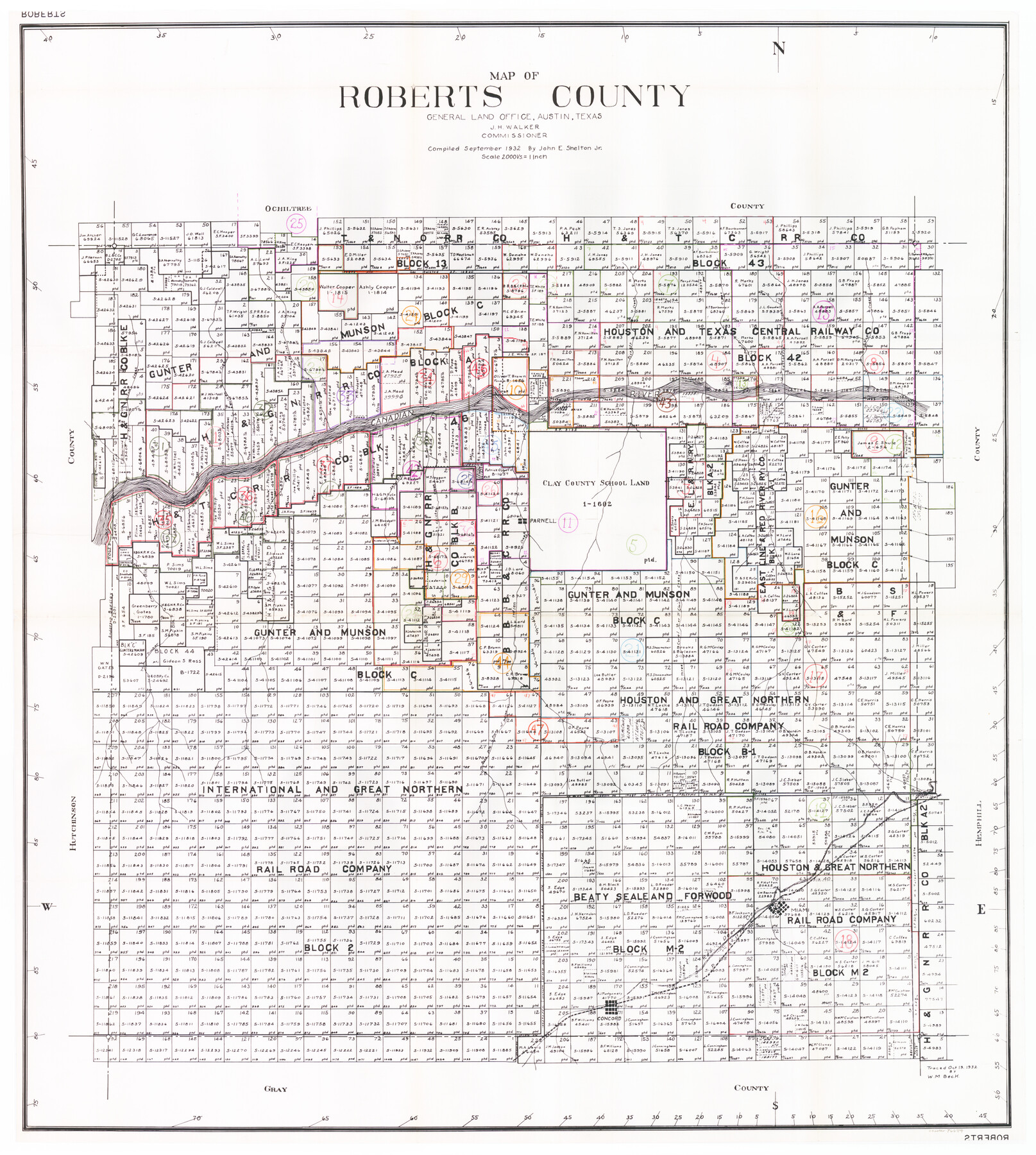
Roberts County Working Sketch Graphic Index
-
Map/Doc
76684
-
Collection
General Map Collection
-
Object Dates
9/1932 (Creation Date)
10/19/1932 (Tracing Date)
-
People and Organizations
John E. Shelton, Jr. (Compiler)
W.M. Beck (Tracer)
-
Counties
Roberts
-
Subjects
County Surveying Working Sketch
-
Height x Width
41.2 x 37.3 inches
104.7 x 94.7 cm
-
Scale
1" = 2000 varas
Part of: General Map Collection
El Paso County Rolled Sketch 59

Print $20.00
- Digital $50.00
El Paso County Rolled Sketch 59
1990
Size 34.5 x 36.0 inches
Map/Doc 8881
Amistad International Reservoir on Rio Grande 61

Print $20.00
- Digital $50.00
Amistad International Reservoir on Rio Grande 61
1949
Size 28.4 x 39.4 inches
Map/Doc 73346
Van Zandt County Boundary File 1

Print $32.00
- Digital $50.00
Van Zandt County Boundary File 1
Size 13.0 x 8.5 inches
Map/Doc 59626
Val Verde County Working Sketch 117

Print $20.00
- Digital $50.00
Val Verde County Working Sketch 117
1993
Size 20.9 x 38.2 inches
Map/Doc 82841
Bell County Working Sketch 14

Print $20.00
- Digital $50.00
Bell County Working Sketch 14
1966
Size 38.7 x 30.8 inches
Map/Doc 67354
Hudspeth County Working Sketch 25

Print $20.00
- Digital $50.00
Hudspeth County Working Sketch 25
1971
Size 24.6 x 28.0 inches
Map/Doc 66307
Panola County Working Sketch 1

Print $20.00
- Digital $50.00
Panola County Working Sketch 1
1917
Map/Doc 71410
Ector County Boundary File 3

Print $18.00
- Digital $50.00
Ector County Boundary File 3
Size 9.0 x 4.4 inches
Map/Doc 52836
Tarrant County Working Sketch 25

Print $20.00
- Digital $50.00
Tarrant County Working Sketch 25
2004
Size 27.3 x 38.0 inches
Map/Doc 83585
Flight Mission No. DAG-21K, Frame 126, Matagorda County

Print $20.00
- Digital $50.00
Flight Mission No. DAG-21K, Frame 126, Matagorda County
1952
Size 18.5 x 22.3 inches
Map/Doc 86452
Cameron County Rolled Sketch 25

Print $20.00
- Digital $50.00
Cameron County Rolled Sketch 25
1977
Size 17.5 x 27.5 inches
Map/Doc 5790
[Galveston, Harrisburg & San Antonio through El Paso County]
![64003, [Galveston, Harrisburg & San Antonio through El Paso County], General Map Collection](https://historictexasmaps.com/wmedia_w700/maps/64003.tif.jpg)
Print $20.00
- Digital $50.00
[Galveston, Harrisburg & San Antonio through El Paso County]
1907
Size 13.7 x 33.9 inches
Map/Doc 64003
You may also like
Jackson County Rolled Sketch 15

Print $40.00
- Digital $50.00
Jackson County Rolled Sketch 15
1945
Size 53.7 x 30.3 inches
Map/Doc 9261
Montague County Working Sketch 3

Print $20.00
- Digital $50.00
Montague County Working Sketch 3
1912
Size 20.5 x 15.4 inches
Map/Doc 71069
Collingsworth County Sketch File 9

Print $20.00
- Digital $50.00
Collingsworth County Sketch File 9
Size 16.5 x 12.0 inches
Map/Doc 11133
Flight Mission No. BRE-2P, Frame 11, Nueces County

Print $20.00
- Digital $50.00
Flight Mission No. BRE-2P, Frame 11, Nueces County
1956
Size 18.6 x 22.7 inches
Map/Doc 86720
Controlled Mosaic by Jack Amman Photogrammetric Engineers, Inc - Sheet 20

Print $20.00
- Digital $50.00
Controlled Mosaic by Jack Amman Photogrammetric Engineers, Inc - Sheet 20
1954
Size 19.3 x 24.0 inches
Map/Doc 83469
Rusk County Working Sketch 20b

Print $20.00
- Digital $50.00
Rusk County Working Sketch 20b
1955
Size 31.5 x 30.3 inches
Map/Doc 63656
Shamrock, Amended Plat on Section 44, Block 17, Wheeler County, Texas

Print $20.00
- Digital $50.00
Shamrock, Amended Plat on Section 44, Block 17, Wheeler County, Texas
Size 19.6 x 24.9 inches
Map/Doc 92132
[North part of G. C. & S. F. Block OP, Runnels County School Land]
![90309, [North part of G. C. & S. F. Block OP, Runnels County School Land], Twichell Survey Records](https://historictexasmaps.com/wmedia_w700/maps/90309-1.tif.jpg)
Print $20.00
- Digital $50.00
[North part of G. C. & S. F. Block OP, Runnels County School Land]
Size 14.3 x 17.6 inches
Map/Doc 90309
Map of the United States of America with its territories and districts including also a part of upper and lower Canada and Mexico

Print $20.00
- Digital $50.00
Map of the United States of America with its territories and districts including also a part of upper and lower Canada and Mexico
1835
Size 31.3 x 44.7 inches
Map/Doc 93852
Beaumont, Sour Lake and Western Ry. Right of Way and Alignment - Frisco

Print $20.00
- Digital $50.00
Beaumont, Sour Lake and Western Ry. Right of Way and Alignment - Frisco
1910
Size 21.1 x 47.3 inches
Map/Doc 64105
Flight Mission No. DIX-5P, Frame 114, Aransas County

Print $20.00
- Digital $50.00
Flight Mission No. DIX-5P, Frame 114, Aransas County
1956
Size 17.4 x 17.6 inches
Map/Doc 83793
Grimes County Sketch File 4a

Print $6.00
- Digital $50.00
Grimes County Sketch File 4a
1873
Size 13.0 x 8.4 inches
Map/Doc 24656