Loving County Rolled Sketch 3
Plat showing results of survey for George C. Fraser, George L. Burr, John K. Olyphant, Jr., Loving & Reeves Counties
-
Map/Doc
78185
-
Collection
General Map Collection
-
Object Dates
1952/5/26 (Creation Date)
1953/1/2 (File Date)
-
People and Organizations
Byron L. Simpson (Surveyor/Engineer)
-
Counties
Loving Reeves
-
Subjects
Surveying Rolled Sketch
-
Height x Width
13.7 x 145.1 inches
34.8 x 368.6 cm
-
Medium
linen, manuscript
-
Scale
1" = 300 varas
Part of: General Map Collection
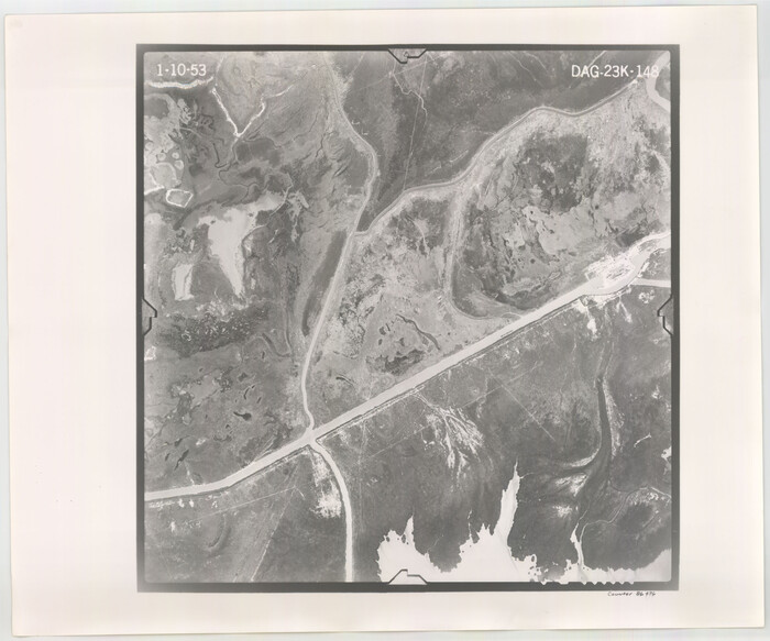
Flight Mission No. DAG-23K, Frame 148, Matagorda County

Print $20.00
- Digital $50.00
Flight Mission No. DAG-23K, Frame 148, Matagorda County
1953
Size 18.6 x 22.4 inches
Map/Doc 86496
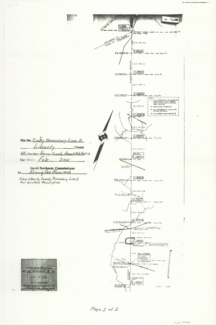
Montgomery County Boundary File 2

Print $6.00
- Digital $50.00
Montgomery County Boundary File 2
Size 17.1 x 11.4 inches
Map/Doc 57448
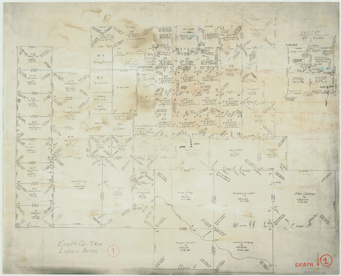
Erath County Working Sketch 1

Print $20.00
- Digital $50.00
Erath County Working Sketch 1
Size 16.7 x 20.7 inches
Map/Doc 69082
Concho County Sketch File 53


Print $8.00
- Digital $50.00
Concho County Sketch File 53
2002
Size 11.3 x 8.9 inches
Map/Doc 78515
Wichita County Sketch File 3


Print $8.00
- Digital $50.00
Wichita County Sketch File 3
1856
Size 7.2 x 16.3 inches
Map/Doc 40033
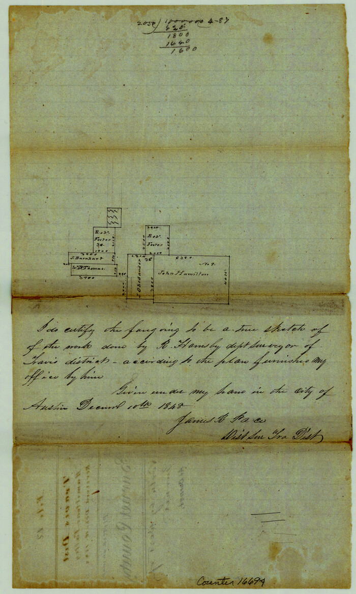
Burnet County Sketch File 12

Print $4.00
- Digital $50.00
Burnet County Sketch File 12
1848
Size 12.6 x 7.5 inches
Map/Doc 16694
Galveston County Rolled Sketch 30


Print $20.00
- Digital $50.00
Galveston County Rolled Sketch 30
1979
Size 28.0 x 39.8 inches
Map/Doc 5964
Hemphill County Boundary File 2


Print $54.00
- Digital $50.00
Hemphill County Boundary File 2
Size 8.6 x 32.1 inches
Map/Doc 54621
Harbor of Brazos Santiago, Texas


Print $20.00
- Digital $50.00
Harbor of Brazos Santiago, Texas
1887
Size 27.1 x 18.3 inches
Map/Doc 72995
Shelby County Sketch File 9
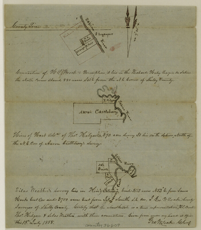

Print $4.00
- Digital $50.00
Shelby County Sketch File 9
1858
Size 9.4 x 8.2 inches
Map/Doc 36609
Flight Mission No. DIX-8P, Frame 69, Aransas County
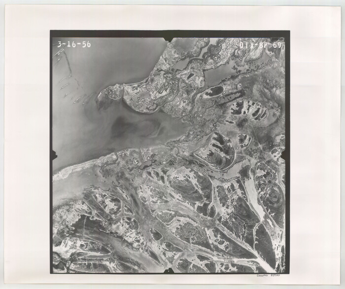

Print $20.00
- Digital $50.00
Flight Mission No. DIX-8P, Frame 69, Aransas County
1956
Size 18.7 x 22.4 inches
Map/Doc 83900
Sterling County Sketch File 17b
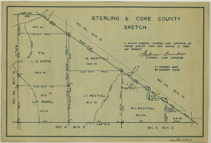

Print $4.00
- Digital $50.00
Sterling County Sketch File 17b
Size 8.6 x 12.7 inches
Map/Doc 37167
You may also like
Hardin County Sketch File 5a

Print $6.00
- Digital $50.00
Hardin County Sketch File 5a
Size 8.1 x 3.5 inches
Map/Doc 25094
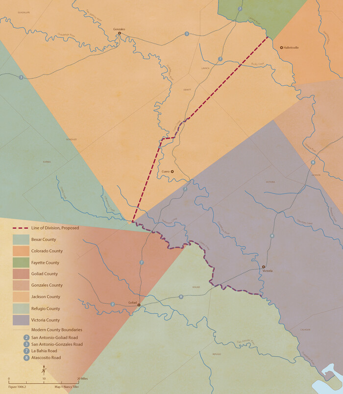
Refinement of the Line by County Surveyors from Gonzales and Victoria Counties, April 14, 1838

Print $20.00
Refinement of the Line by County Surveyors from Gonzales and Victoria Counties, April 14, 1838
2020
Size 24.9 x 21.7 inches
Map/Doc 96379
Dimmit County Working Sketch 40


Print $40.00
- Digital $50.00
Dimmit County Working Sketch 40
1968
Size 42.9 x 59.0 inches
Map/Doc 68701
San Saba County Working Sketch 7


Print $20.00
- Digital $50.00
San Saba County Working Sketch 7
1952
Size 35.5 x 29.1 inches
Map/Doc 63795
Kimble County Boundary File 4

Print $26.00
- Digital $50.00
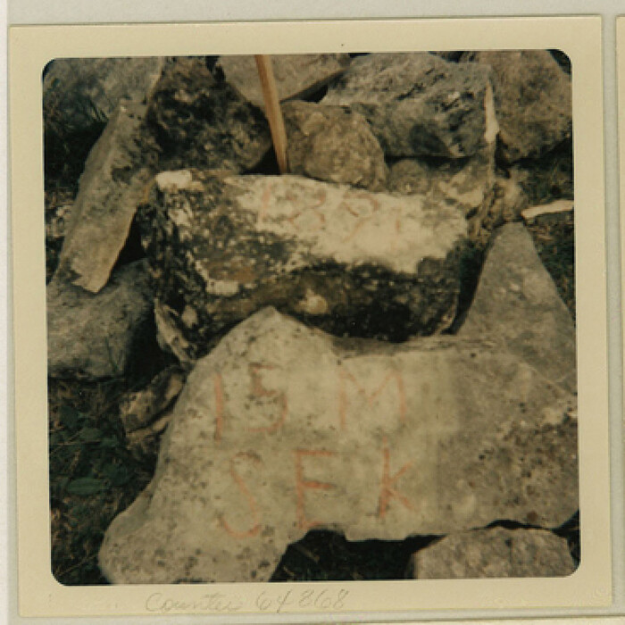
Kimble County Boundary File 4
Size 7.5 x 7.3 inches
Map/Doc 64868
Flight Mission No. CUG-3P, Frame 90, Kleberg County

Print $20.00
- Digital $50.00
Flight Mission No. CUG-3P, Frame 90, Kleberg County
1956
Size 18.6 x 22.3 inches
Map/Doc 86260
San Augustine County Rolled Sketch 3


Print $20.00
- Digital $50.00
San Augustine County Rolled Sketch 3
1969
Size 21.5 x 29.0 inches
Map/Doc 7555
Uvalde County Sketch File 13

Print $20.00
- Digital $50.00
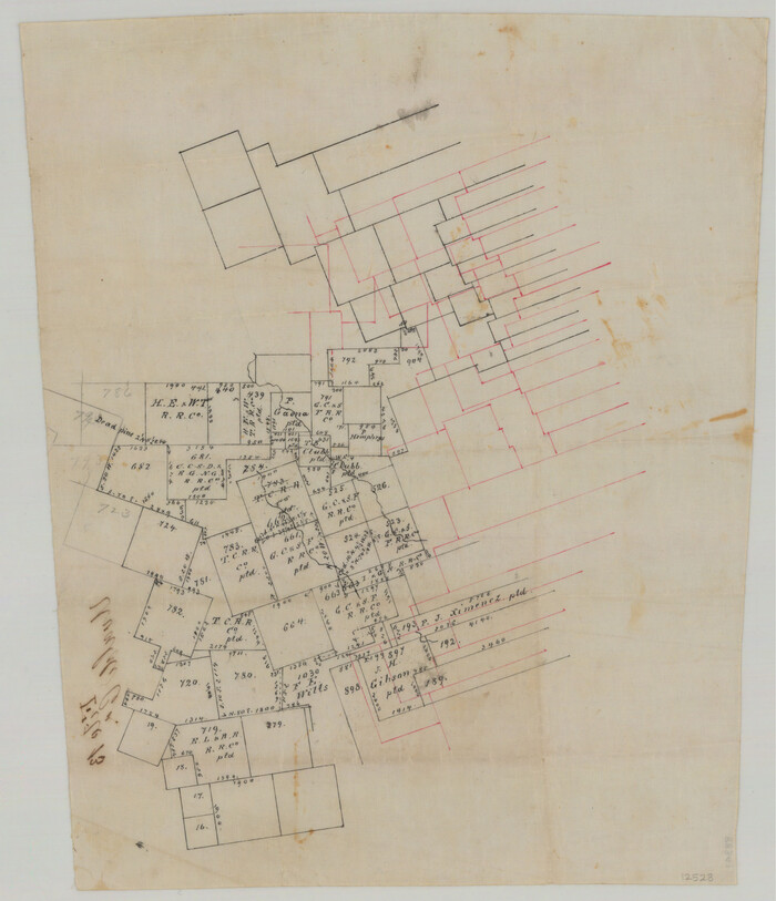
Uvalde County Sketch File 13
Size 14.3 x 29.1 inches
Map/Doc 12528
Cooke County Working Sketch 21
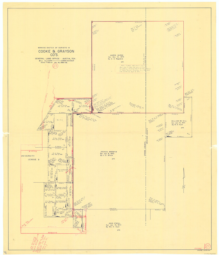

Print $20.00
- Digital $50.00
Cooke County Working Sketch 21
1959
Size 35.3 x 30.3 inches
Map/Doc 68258
Bexar County Sketch File 42a
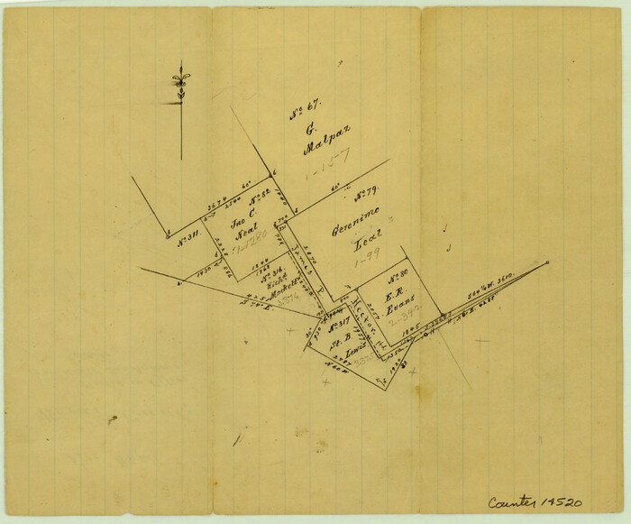

Print $4.00
- Digital $50.00
Bexar County Sketch File 42a
Size 8.0 x 9.6 inches
Map/Doc 14520
Bailey County
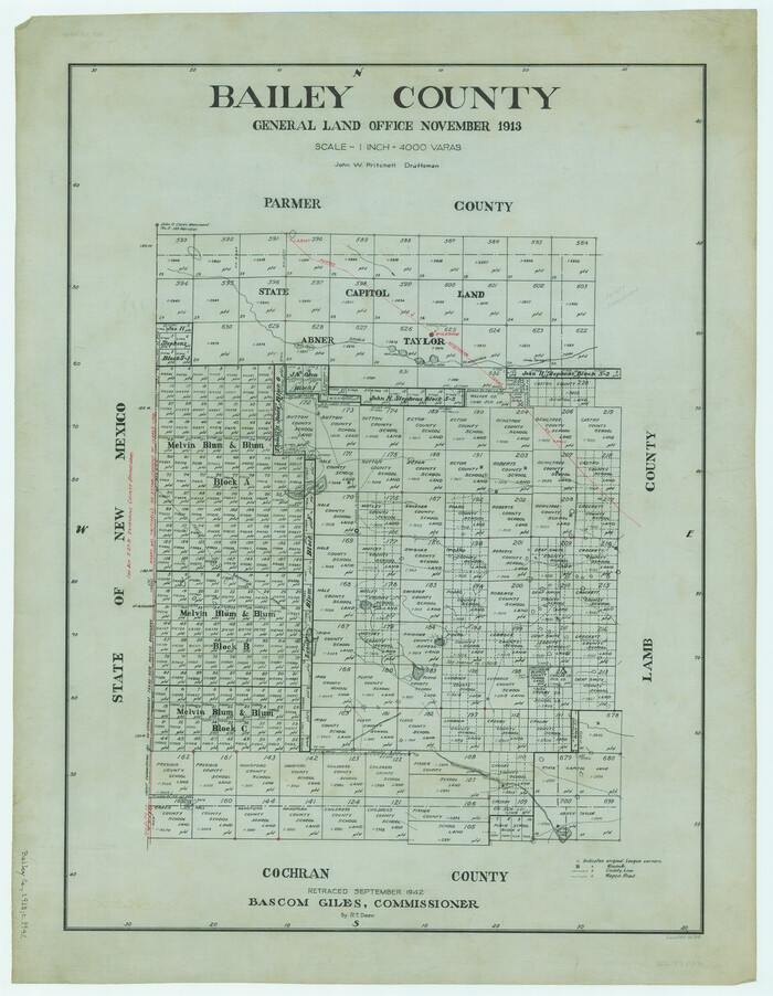

Print $20.00
- Digital $50.00
Bailey County
1913
Size 29.0 x 22.5 inches
Map/Doc 66708
Map of the River Sabine shewing that portion of the Boundary between the Republic of Texas and the United States included between Logan's Ferry and the Intersection of the 32nd degree of N. Latitude with the Western bank of Sabine River


Print $20.00
- Digital $50.00
Map of the River Sabine shewing that portion of the Boundary between the Republic of Texas and the United States included between Logan's Ferry and the Intersection of the 32nd degree of N. Latitude with the Western bank of Sabine River
1842
Size 19.2 x 27.3 inches
Map/Doc 65410
