[Surveys in Austin's Colony along the east bank of the Navidad River]
Atlas D, Sketch 23 (D-23)
D-23
-
Map/Doc
78488
-
Collection
General Map Collection
-
Object Dates
1827 (Creation Date)
-
People and Organizations
[Chriesman] (Surveyor/Engineer)
-
Counties
Jackson
-
Subjects
Atlas
-
Height x Width
20.3 x 16.1 inches
51.6 x 40.9 cm
-
Medium
paper, manuscript
-
Comments
Conserved in 2004.
Part of: General Map Collection
Jefferson County Sketch File 19
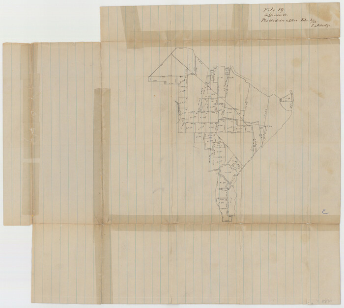

Print $20.00
- Digital $50.00
Jefferson County Sketch File 19
1872
Size 15.0 x 20.1 inches
Map/Doc 11870
Glasscock County Rolled Sketch 10
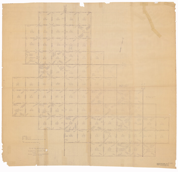

Print $20.00
- Digital $50.00
Glasscock County Rolled Sketch 10
Size 47.6 x 45.9 inches
Map/Doc 9058
Baylor County Boundary File 10


Print $38.00
- Digital $50.00
Baylor County Boundary File 10
Size 9.4 x 7.7 inches
Map/Doc 50409
Brewster County Rolled Sketch 60


Print $40.00
- Digital $50.00
Brewster County Rolled Sketch 60
Size 36.6 x 50.3 inches
Map/Doc 10692
Map from Corpus Christi to Matagorda Bays, Texas [Inset: Survey of the channel of Copono Bay]
![72974, Map from Corpus Christi to Matagorda Bays, Texas [Inset: Survey of the channel of Copono Bay], General Map Collection](https://historictexasmaps.com/wmedia_w700/maps/72974.tif.jpg)
![72974, Map from Corpus Christi to Matagorda Bays, Texas [Inset: Survey of the channel of Copono Bay], General Map Collection](https://historictexasmaps.com/wmedia_w700/maps/72974.tif.jpg)
Print $20.00
- Digital $50.00
Map from Corpus Christi to Matagorda Bays, Texas [Inset: Survey of the channel of Copono Bay]
1846
Size 18.3 x 27.5 inches
Map/Doc 72974
Baylor County


Print $20.00
- Digital $50.00
Baylor County
1961
Size 43.0 x 35.2 inches
Map/Doc 95426
Presidio County Rolled Sketch 122
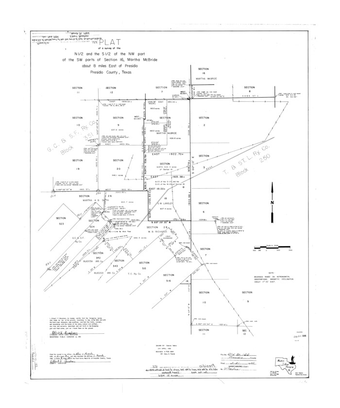

Print $20.00
- Digital $50.00
Presidio County Rolled Sketch 122
1981
Size 33.9 x 28.3 inches
Map/Doc 7395
Duval County Boundary File 3d
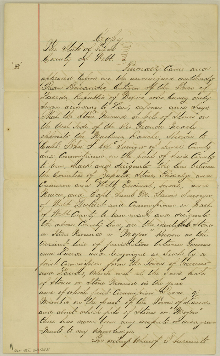

Print $8.00
- Digital $50.00
Duval County Boundary File 3d
Size 14.2 x 8.8 inches
Map/Doc 52738
Part of Laguna Madre in Nueces and Kleberg Counties, showing Subdivision for Mineral Development
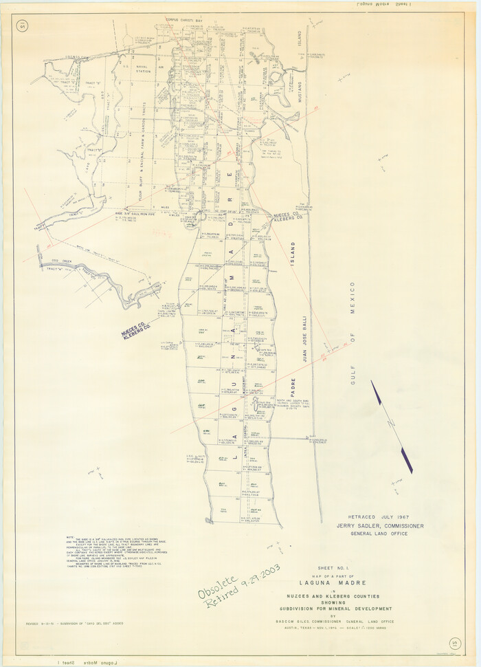

Print $20.00
- Digital $50.00
Part of Laguna Madre in Nueces and Kleberg Counties, showing Subdivision for Mineral Development
1948
Size 42.0 x 30.3 inches
Map/Doc 1921
Harris County Rolled Sketch 7b
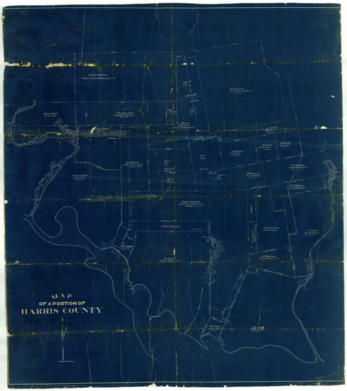

Print $20.00
- Digital $50.00
Harris County Rolled Sketch 7b
Size 47.8 x 42.4 inches
Map/Doc 9853
Webb County Working Sketch 75
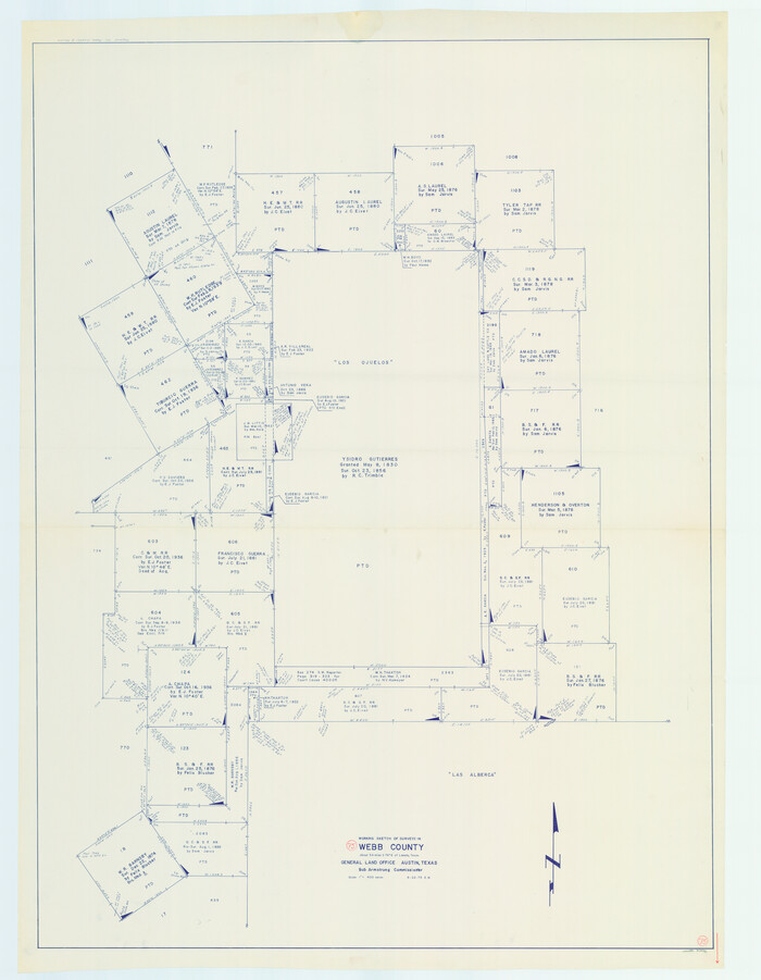

Print $40.00
- Digital $50.00
Webb County Working Sketch 75
1975
Size 59.2 x 46.0 inches
Map/Doc 72442
Pecos County Rolled Sketch 180
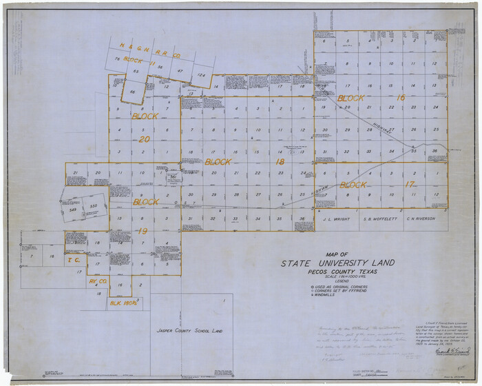

Print $20.00
- Digital $50.00
Pecos County Rolled Sketch 180
Size 33.6 x 42.0 inches
Map/Doc 9752
You may also like
Crosby County Sketch File 1


Print $4.00
- Digital $50.00
Crosby County Sketch File 1
Size 12.8 x 8.1 inches
Map/Doc 19985
Gillespie County
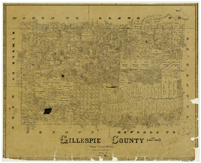

Print $20.00
- Digital $50.00
Gillespie County
1877
Size 20.1 x 24.5 inches
Map/Doc 3583
Grayson County Working Sketch 9
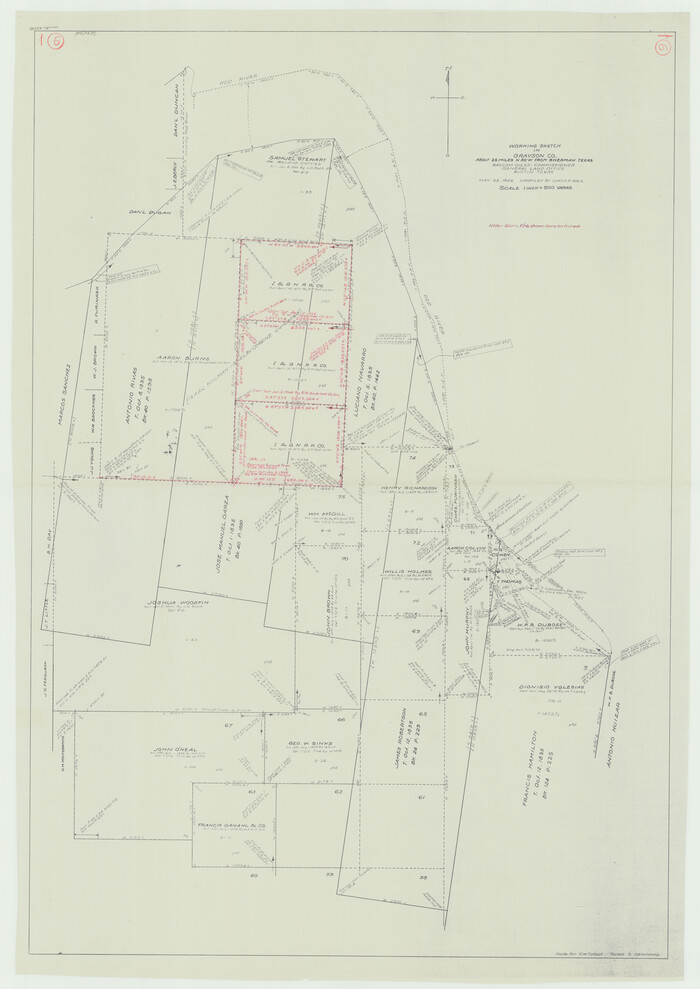

Print $20.00
- Digital $50.00
Grayson County Working Sketch 9
1946
Size 44.8 x 31.7 inches
Map/Doc 63248
Callahan County
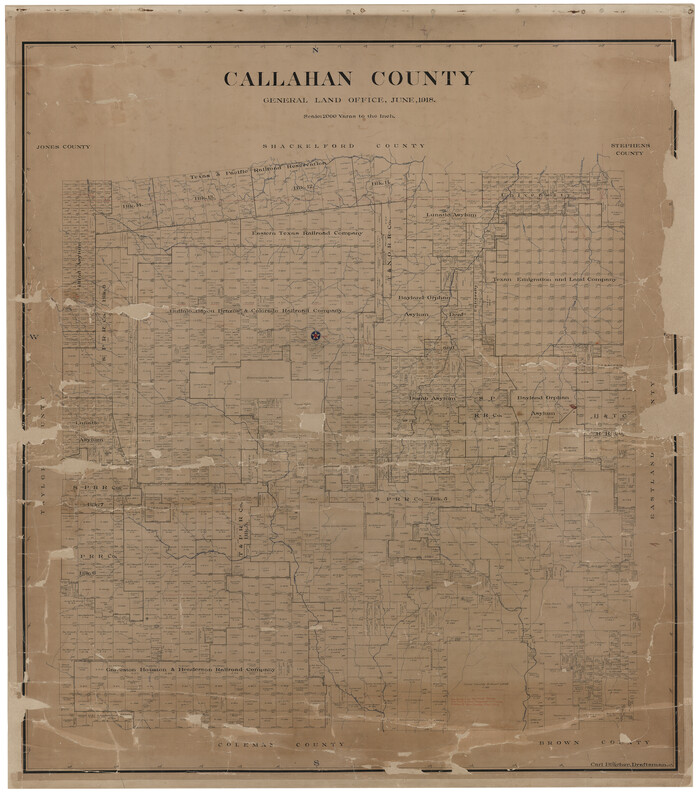

Print $20.00
- Digital $50.00
Callahan County
1918
Size 45.5 x 40.3 inches
Map/Doc 4787
Yoakum County Boundary File 1a


Print $20.00
- Digital $50.00
Yoakum County Boundary File 1a
Size 7.8 x 29.5 inches
Map/Doc 60196
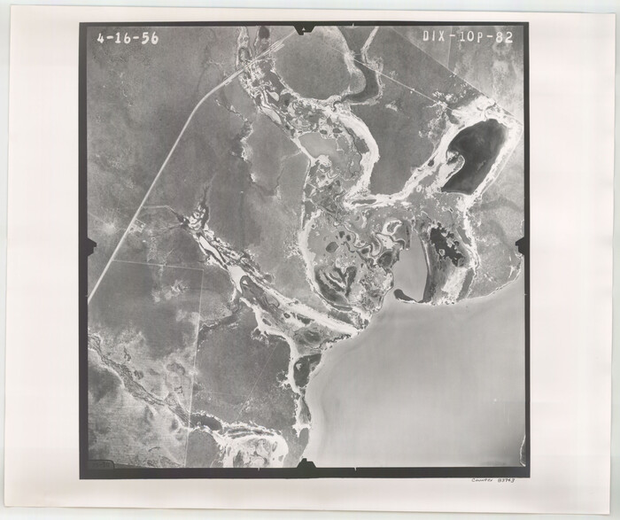
Flight Mission No. DIX-10P, Frame 82, Aransas County

Print $20.00
- Digital $50.00
Flight Mission No. DIX-10P, Frame 82, Aransas County
1956
Size 18.8 x 22.4 inches
Map/Doc 83943
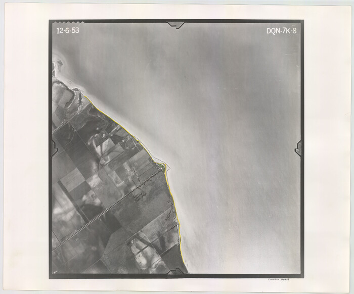
Flight Mission No. DQN-7K, Frame 8, Calhoun County

Print $20.00
- Digital $50.00
Flight Mission No. DQN-7K, Frame 8, Calhoun County
1953
Size 18.5 x 22.2 inches
Map/Doc 84459
Lamar [County]
![3787, Lamar [County], General Map Collection](https://historictexasmaps.com/wmedia_w700/maps/3787.tif.jpg)
![3787, Lamar [County], General Map Collection](https://historictexasmaps.com/wmedia_w700/maps/3787.tif.jpg)
Print $40.00
- Digital $50.00
Lamar [County]
1889
Size 48.2 x 35.7 inches
Map/Doc 3787
Map Showing Location of Dallas & Greenville Railroad through Rockwall County, Texas


Print $3.00
- Digital $50.00
Map Showing Location of Dallas & Greenville Railroad through Rockwall County, Texas
Size 7.9 x 17.5 inches
Map/Doc 64485
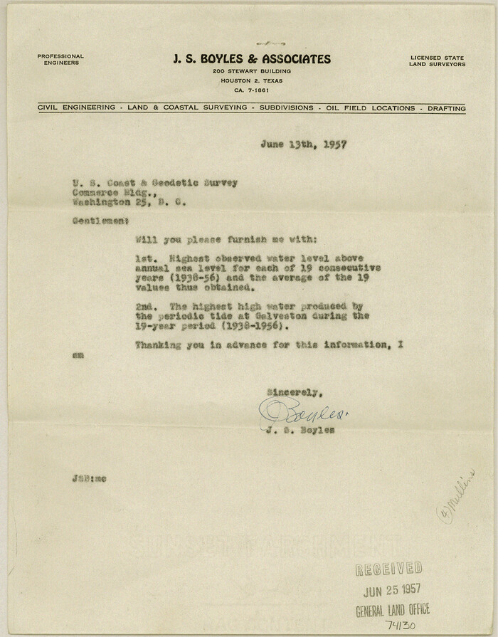
Current Miscellaneous File 67

Print $8.00
- Digital $50.00
Current Miscellaneous File 67
1957
Size 11.2 x 8.8 inches
Map/Doc 74130
Goliad County Sketch File 1


Print $24.00
- Digital $50.00
Goliad County Sketch File 1
1857
Size 12.5 x 7.5 inches
Map/Doc 24211
![78488, [Surveys in Austin's Colony along the east bank of the Navidad River], General Map Collection](https://historictexasmaps.com/wmedia_w1800h1800/maps/78488.tif.jpg)
