Lamar [County]
-
Map/Doc
3787
-
Collection
General Map Collection
-
Object Dates
1889 (Creation Date)
-
People and Organizations
Texas General Land Office (Publisher)
J.L. Blain (Draftsman)
J.L. Blain (Compiler)
-
Counties
Lamar
-
Subjects
County
-
Height x Width
48.2 x 35.7 inches
122.4 x 90.7 cm
-
Features
Clicks Creek
Emberson Lake
Old [Red] River
North Fork of Sulphur River
Red River
North Sulphur River
Honey Creek
Buckham's Creek
Nobles Creek
Tolletts Creek
Drennans Creek
3 Mile Creek
Cane Creek
West Fork of Crockett's Creek
East Fork [of Crockett's Creek]
Crockett's Creek
Boggy River
Little Sandy Creek
Mulberry Creek
Brookston
Petty
Blossom
Big Sandy Creek
Mud Springs
Paris
Rock Creek
Lower Pine Creek
Pine Creek
Sanders Creek
Slough Creek
Bois de Arc [Creek]
Part of: General Map Collection
Tarrant County Sketch File 35
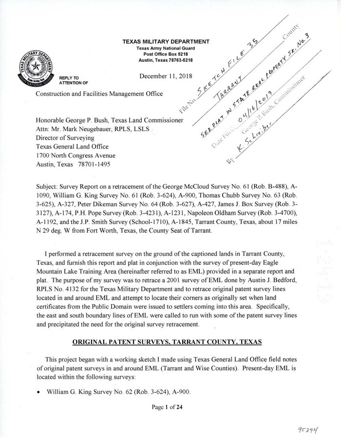

Print $50.00
Tarrant County Sketch File 35
2018
Size 11.0 x 8.5 inches
Map/Doc 95394
Trinity County Sketch File 31


Print $40.00
- Digital $50.00
Trinity County Sketch File 31
Size 14.1 x 13.4 inches
Map/Doc 38570
Map of Hunt County
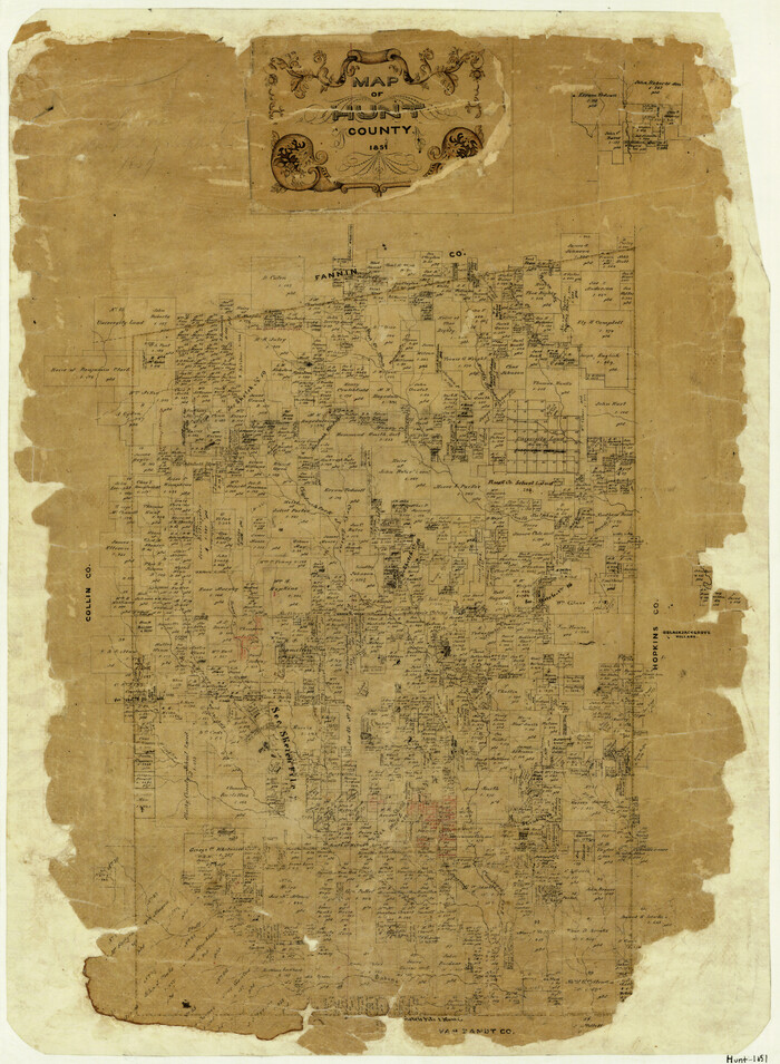

Print $20.00
- Digital $50.00
Map of Hunt County
1851
Size 25.1 x 18.7 inches
Map/Doc 3690
Baylor County Sketch File 27


Print $4.00
- Digital $50.00
Baylor County Sketch File 27
1895
Size 11.1 x 8.9 inches
Map/Doc 14226
Flight Mission No. DAG-17K, Frame 128, Matagorda County


Print $20.00
- Digital $50.00
Flight Mission No. DAG-17K, Frame 128, Matagorda County
1952
Size 18.6 x 22.3 inches
Map/Doc 86348
Eastland County Sketch File 2b


Print $6.00
- Digital $50.00
Eastland County Sketch File 2b
1857
Size 11.1 x 8.8 inches
Map/Doc 21563
Hemphill County Working Sketch 29


Print $40.00
- Digital $50.00
Hemphill County Working Sketch 29
1974
Size 61.7 x 43.4 inches
Map/Doc 66124
Castro County Rolled Sketch 13
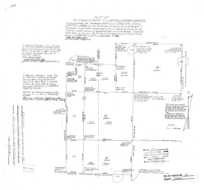

Print $20.00
- Digital $50.00
Castro County Rolled Sketch 13
1967
Size 18.7 x 20.1 inches
Map/Doc 5422
Gregg County Boundary File 8


Print $8.00
- Digital $50.00
Gregg County Boundary File 8
Size 14.0 x 8.6 inches
Map/Doc 54019
Harris County State Real Property Sketch 6
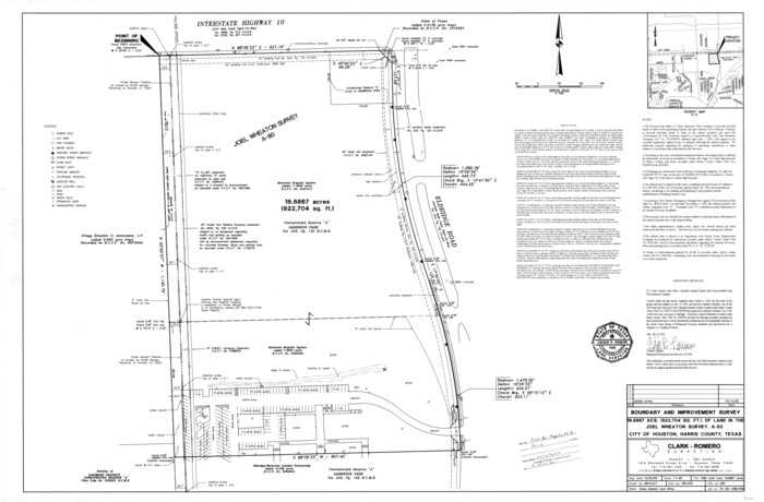

Print $20.00
- Digital $50.00
Harris County State Real Property Sketch 6
Size 23.6 x 35.9 inches
Map/Doc 96641
Erath County Working Sketch 1
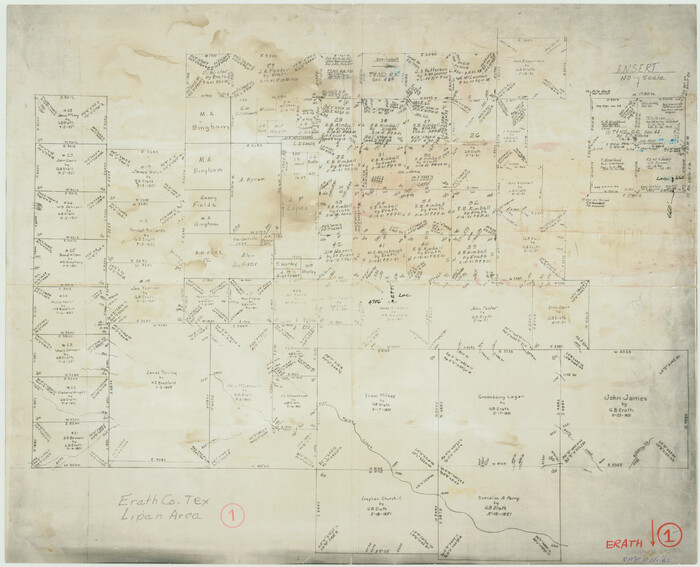

Print $20.00
- Digital $50.00
Erath County Working Sketch 1
Size 16.7 x 20.7 inches
Map/Doc 69082
Llano County Sketch File 17
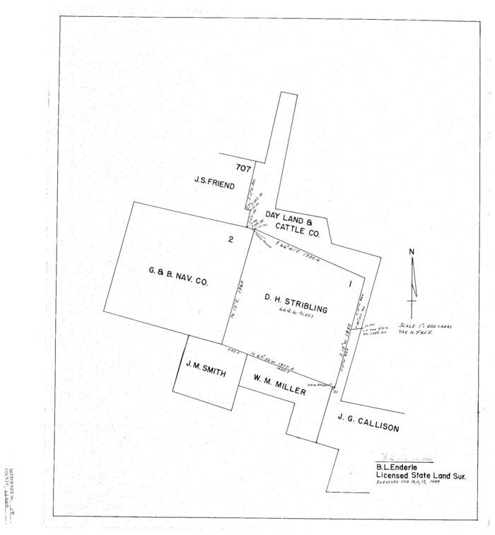

Print $20.00
- Digital $50.00
Llano County Sketch File 17
1949
Size 21.8 x 20.2 inches
Map/Doc 12012
You may also like
Midland County Working Sketch 33


Print $20.00
- Digital $50.00
Midland County Working Sketch 33
1982
Size 38.2 x 36.2 inches
Map/Doc 71014
Texas-Indian Territory Denison Quadrangle
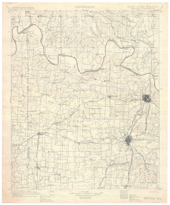

Print $20.00
- Digital $50.00
Texas-Indian Territory Denison Quadrangle
1901
Size 20.1 x 16.7 inches
Map/Doc 75110
Burnet County Working Sketch 11


Print $20.00
- Digital $50.00
Burnet County Working Sketch 11
1975
Size 26.5 x 28.9 inches
Map/Doc 67854
Young County Rolled Sketch 5
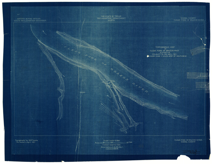

Print $20.00
- Digital $50.00
Young County Rolled Sketch 5
Size 20.2 x 26.1 inches
Map/Doc 8293
Webb County Working Sketch 49
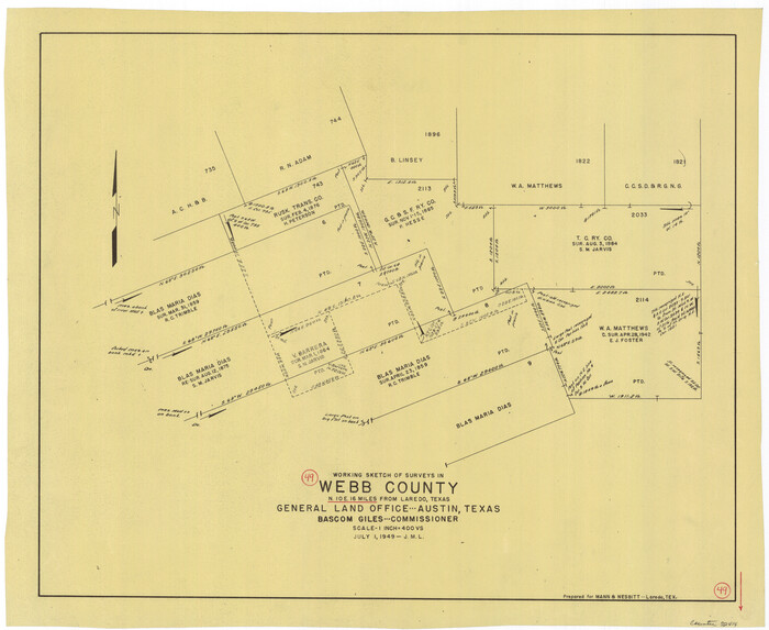

Print $20.00
- Digital $50.00
Webb County Working Sketch 49
1949
Size 22.7 x 27.8 inches
Map/Doc 72414
Flight Mission No. DAG-23K, Frame 173, Matagorda County


Print $20.00
- Digital $50.00
Flight Mission No. DAG-23K, Frame 173, Matagorda County
1953
Size 18.5 x 22.3 inches
Map/Doc 86511
Hardin County Sketch File 41 and 42


Print $8.00
- Digital $50.00
Hardin County Sketch File 41 and 42
Size 8.8 x 7.9 inches
Map/Doc 25188
Hopkins County Rolled Sketch 1


Print $20.00
- Digital $50.00
Hopkins County Rolled Sketch 1
Size 34.5 x 40.0 inches
Map/Doc 6224
Survey 1, Block 1, D.B. Gardner in Dickens County


Print $20.00
- Digital $50.00
Survey 1, Block 1, D.B. Gardner in Dickens County
1914
Size 14.9 x 30.4 inches
Map/Doc 10767
King County Sketch File 10


Print $24.00
- Digital $50.00
King County Sketch File 10
1902
Size 14.2 x 8.7 inches
Map/Doc 29083
Terrell County Rolled Sketch 45
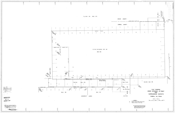

Print $40.00
- Digital $50.00
Terrell County Rolled Sketch 45
1953
Size 33.5 x 51.7 inches
Map/Doc 9991
![3787, Lamar [County], General Map Collection](https://historictexasmaps.com/wmedia_w1800h1800/maps/3787.tif.jpg)
