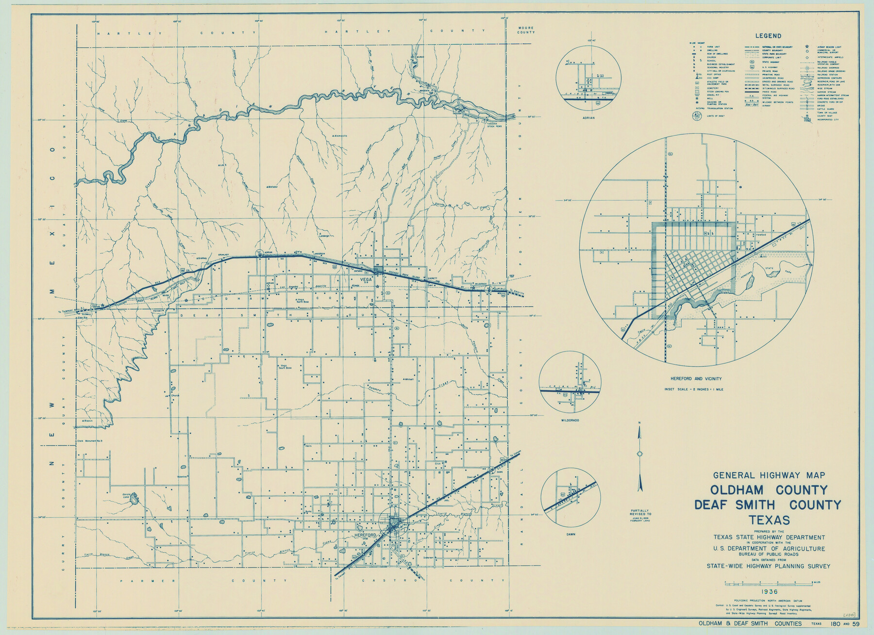
General Highway Map, Oldham County, Deaf Smith County, Texas
-
Map/Doc
79072
-
Collection
Texas State Library and Archives
-
Object Dates
1940 (Creation Date)
-
People and Organizations
Texas State Highway Department (Publisher)
-
Counties
Oldham Deaf Smith
-
Subjects
County
-
Height x Width
18.3 x 25.2 inches
46.5 x 64.0 cm
-
Comments
Prints available courtesy of the Texas State Library and Archives.
More info can be found here: TSLAC Map 04841
Part of: Texas State Library and Archives
General Highway Map, Brown County, Texas

Print $20.00
General Highway Map, Brown County, Texas
1961
Size 24.8 x 18.2 inches
Map/Doc 79389
General Highway Map, Floyd County, Texas

Print $20.00
General Highway Map, Floyd County, Texas
1940
Size 25.1 x 18.7 inches
Map/Doc 79091
General Highway Map, Bexar County, Texas

Print $20.00
General Highway Map, Bexar County, Texas
1961
Size 18.4 x 25.0 inches
Map/Doc 79370
General Highway Map, Colorado County, Texas

Print $20.00
General Highway Map, Colorado County, Texas
1961
Size 25.1 x 18.3 inches
Map/Doc 79416
General Highway Map, Collin County, Texas

Print $20.00
General Highway Map, Collin County, Texas
1939
Size 18.6 x 25.0 inches
Map/Doc 79052
General Highway Map, Madison County, Texas

Print $20.00
General Highway Map, Madison County, Texas
1961
Size 18.1 x 24.6 inches
Map/Doc 79581
General Highway Map, Jim Hogg County, Texas

Print $20.00
General Highway Map, Jim Hogg County, Texas
1961
Size 24.6 x 18.2 inches
Map/Doc 79541
General Highway Map. Detail of Cities and Towns in Harris County, Texas

Print $20.00
General Highway Map. Detail of Cities and Towns in Harris County, Texas
1939
Size 18.3 x 24.7 inches
Map/Doc 79120
A.R. Roessler's Latest Map of the State of Texas Exhibiting Mineral and Agricultural Districts, Post Offices and Mailroutes, Railroads projected and finished, Timber, Prairie, Swamp Lands, etc. etc. etc.

Print $20.00
A.R. Roessler's Latest Map of the State of Texas Exhibiting Mineral and Agricultural Districts, Post Offices and Mailroutes, Railroads projected and finished, Timber, Prairie, Swamp Lands, etc. etc. etc.
1874
Size 39.7 x 46.8 inches
Map/Doc 76254

Principal Highways of the Southwest with particular reference to New Mexico, Oklahoma, Texas, Arkansas and Louisiana

Print $20.00
Principal Highways of the Southwest with particular reference to New Mexico, Oklahoma, Texas, Arkansas and Louisiana
1933
Size 24.3 x 18.4 inches
Map/Doc 76302
Magnolia Road Map of Texas

Print $20.00
Magnolia Road Map of Texas
1933
Size 18.1 x 24.1 inches
Map/Doc 76301
You may also like
Knox County Working Sketch Graphic Index

Print $20.00
- Digital $50.00
Knox County Working Sketch Graphic Index
1923
Size 44.8 x 39.4 inches
Map/Doc 76611
Map of Van Zandt County Texas

Print $20.00
- Digital $50.00
Map of Van Zandt County Texas
1880
Size 19.0 x 19.6 inches
Map/Doc 4113
Brewster County Rolled Sketch 24D

Print $20.00
- Digital $50.00
Brewster County Rolled Sketch 24D
1909
Size 14.6 x 17.4 inches
Map/Doc 5211
Rand, McNally & Co's New Mexico

Print $20.00
- Digital $50.00
Rand, McNally & Co's New Mexico
1880
Size 21.4 x 14.7 inches
Map/Doc 94050
Jim Wells County Boundary File 1

Print $22.00
- Digital $50.00
Jim Wells County Boundary File 1
Size 8.9 x 4.3 inches
Map/Doc 55531
Nueces County Sketch File 69

Print $6.00
- Digital $50.00
Nueces County Sketch File 69
Size 11.1 x 8.7 inches
Map/Doc 33004
Anderson County Working Sketch 12

Print $20.00
- Digital $50.00
Anderson County Working Sketch 12
1914
Size 15.1 x 12.4 inches
Map/Doc 67012
Brazoria County Rolled Sketch 45

Print $4.00
- Digital $50.00
Brazoria County Rolled Sketch 45
1885
Size 23.0 x 28.5 inches
Map/Doc 5179
General Highway Map, Irion County, Texas

Print $20.00
General Highway Map, Irion County, Texas
1961
Size 18.2 x 24.5 inches
Map/Doc 79531
Lubbock County Working Sketch 8

Print $20.00
- Digital $50.00
Lubbock County Working Sketch 8
1989
Size 27.4 x 25.2 inches
Map/Doc 70668
Webb County Rolled Sketch 63

Print $20.00
- Digital $50.00
Webb County Rolled Sketch 63
1948
Size 39.4 x 37.0 inches
Map/Doc 10129
Amistad International Reservoir on Rio Grande 77

Print $20.00
- Digital $50.00
Amistad International Reservoir on Rio Grande 77
1949
Size 28.5 x 40.2 inches
Map/Doc 75505