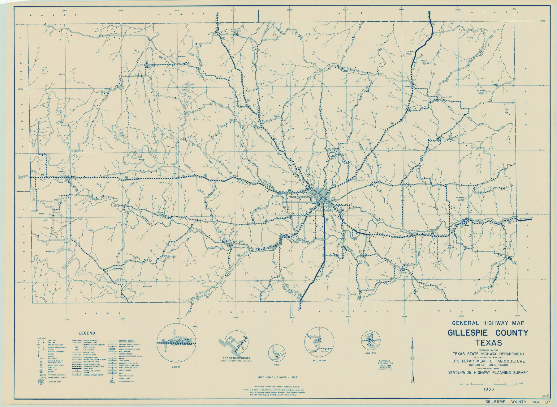
General Highway Map, Gillespie County, Texas
-
Map/Doc
79099
-
Collection
Texas State Library and Archives
-
Object Dates
1940 (Creation Date)
-
People and Organizations
Texas State Highway Department (Publisher)
-
Counties
Gillespie
-
Subjects
County
-
Height x Width
18.2 x 24.9 inches
46.2 x 63.3 cm
-
Comments
Prints available courtesy of the Texas State Library and Archives.
More info can be found here: TSLAC Map 04868
Part of: Texas State Library and Archives
General Highway Map, Van Zandt County, Texas

Print $20.00
General Highway Map, Van Zandt County, Texas
1961
Size 18.2 x 24.8 inches
Map/Doc 79696
General Highway Map, Jim Wells County, Texas

Print $20.00
General Highway Map, Jim Wells County, Texas
1940
Size 18.4 x 24.8 inches
Map/Doc 79147
General Highway Map, Rains County, Texas

Print $20.00
General Highway Map, Rains County, Texas
1961
Size 18.1 x 24.4 inches
Map/Doc 79634
General Highway Map, Jefferson County, Texas

Print $20.00
General Highway Map, Jefferson County, Texas
1961
Size 24.6 x 18.3 inches
Map/Doc 79537
General Highway Map, Edwards County, Real County, Texas

Print $20.00
General Highway Map, Edwards County, Real County, Texas
1940
Size 18.3 x 24.8 inches
Map/Doc 79082
Map of Texas to Accompany Granger's Southern and Western Texas Guide

Print $20.00
Map of Texas to Accompany Granger's Southern and Western Texas Guide
1878
Size 26.4 x 20.4 inches
Map/Doc 76235
General Highway Map, Llano County, Texas

Print $20.00
General Highway Map, Llano County, Texas
1961
Size 18.2 x 24.6 inches
Map/Doc 79576
General Highway Map, Kimble County, Texas

Print $20.00
General Highway Map, Kimble County, Texas
1940
Size 24.9 x 18.3 inches
Map/Doc 79159
General Highway Map, Dimmit County, La Salle County, Texas

Print $20.00
General Highway Map, Dimmit County, La Salle County, Texas
1940
Size 18.4 x 25.2 inches
Map/Doc 79077
General Highway Map, McCulloch County, Texas

Print $20.00
General Highway Map, McCulloch County, Texas
1961
Size 25.0 x 19.3 inches
Map/Doc 79588
General Highway Map, Starr County, Texas

Print $20.00
General Highway Map, Starr County, Texas
1940
Size 24.7 x 18.5 inches
Map/Doc 79245
[General Highway Map of] Bexar County, Sheet 1 of 2
![76288, [General Highway Map of] Bexar County, Sheet 1 of 2, Texas State Library and Archives](https://historictexasmaps.com/wmedia_w700/maps/76288.tif.jpg)
Print $20.00
[General Highway Map of] Bexar County, Sheet 1 of 2
1940
Size 18.5 x 25.1 inches
Map/Doc 76288
You may also like
Uvalde County Rolled Sketch 15

Print $20.00
- Digital $50.00
Uvalde County Rolled Sketch 15
1979
Size 26.9 x 23.9 inches
Map/Doc 8099
Gonzales County Sketch File 12

Print $4.00
- Digital $50.00
Gonzales County Sketch File 12
Size 10.8 x 8.7 inches
Map/Doc 24394
Crane County Working Sketch 22

Print $20.00
- Digital $50.00
Crane County Working Sketch 22
1961
Size 44.7 x 43.9 inches
Map/Doc 68299
Lee County Working Sketch 8

Print $20.00
- Digital $50.00
Lee County Working Sketch 8
1979
Size 27.8 x 37.1 inches
Map/Doc 70387
Morris County Rolled Sketch 2A

Print $20.00
- Digital $50.00
Morris County Rolled Sketch 2A
Size 24.0 x 18.7 inches
Map/Doc 10258
Dickens County Sketch File 1a

Print $40.00
- Digital $50.00
Dickens County Sketch File 1a
1879
Size 16.8 x 13.8 inches
Map/Doc 20948
Newton County Sketch File 40

Print $6.00
- Digital $50.00
Newton County Sketch File 40
Size 16.2 x 10.6 inches
Map/Doc 32419
Flight Mission No. CUG-2P, Frame 24, Kleberg County

Print $20.00
- Digital $50.00
Flight Mission No. CUG-2P, Frame 24, Kleberg County
1956
Size 18.4 x 22.3 inches
Map/Doc 86188
[Val Verde County]
![63095, [Val Verde County], General Map Collection](https://historictexasmaps.com/wmedia_w700/maps/63095.tif.jpg)
Print $20.00
- Digital $50.00
[Val Verde County]
1898
Size 39.1 x 32.4 inches
Map/Doc 63095
Hutchinson County Rolled Sketch 43

Print $40.00
- Digital $50.00
Hutchinson County Rolled Sketch 43
1992
Size 38.0 x 49.4 inches
Map/Doc 6311
Webb County Sketch File 9-2

Print $4.00
- Digital $50.00
Webb County Sketch File 9-2
1916
Size 11.3 x 8.6 inches
Map/Doc 39764
Presidio County Rolled Sketch T-5

Print $20.00
- Digital $50.00
Presidio County Rolled Sketch T-5
1917
Size 21.2 x 20.4 inches
Map/Doc 7419