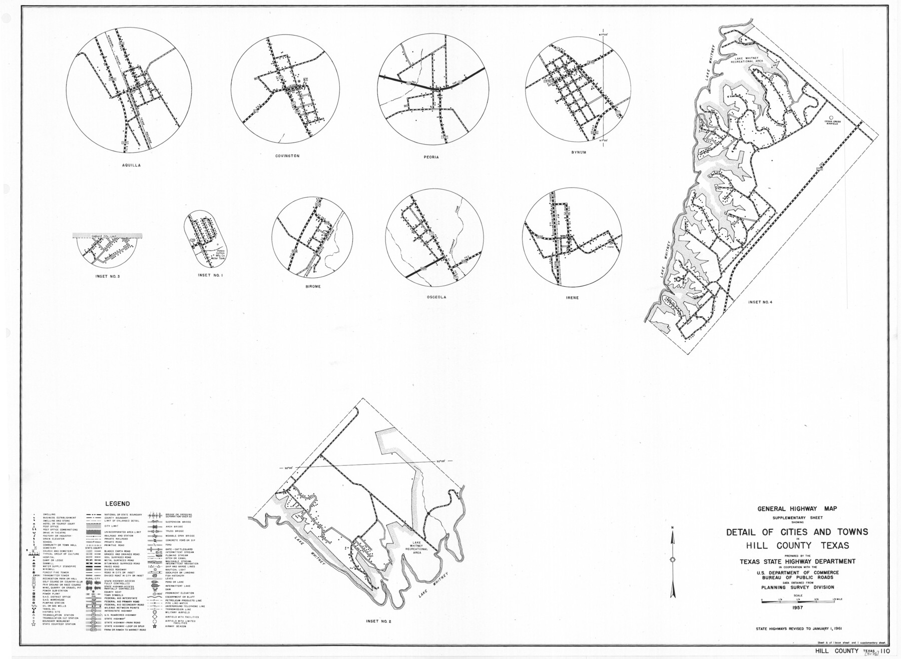
General Highway Map. Detail of Cities and Towns in Hill County, Texas
-
Map/Doc
79521
-
Collection
Texas State Library and Archives
-
Object Dates
1961 (Creation Date)
-
People and Organizations
Texas State Highway Department (Publisher)
-
Counties
Hill
-
Subjects
City County
-
Height x Width
18.1 x 24.7 inches
46.0 x 62.7 cm
-
Comments
Prints available courtesy of the Texas State Library and Archives.
More info can be found here: TSLAC Map 05175
Part of: Texas State Library and Archives
Correct Map of the Railway and Steamship Lines operated by the Southern Pacific Company

Print $20.00
Correct Map of the Railway and Steamship Lines operated by the Southern Pacific Company
1894
Size 17.1 x 40.1 inches
Map/Doc 79322
Jules A. Appler's Map of San Antonio, Texas and Suburbs

Print $20.00
Jules A. Appler's Map of San Antonio, Texas and Suburbs
1900
Size 43.0 x 29.7 inches
Map/Doc 79303
General Highway Map, Limestone County, Texas

Print $20.00
General Highway Map, Limestone County, Texas
1961
Size 18.1 x 24.8 inches
Map/Doc 79572
Stremme General Land Office Drawings, front view

Print $20.00
Stremme General Land Office Drawings, front view
Size 14.0 x 20.8 inches
Map/Doc 79738
General Highway Map, Borden County, Texas

Print $20.00
General Highway Map, Borden County, Texas
1940
Size 18.5 x 25.0 inches
Map/Doc 79021
General Highway Map, Nacogdoches County, Texas

Print $20.00
General Highway Map, Nacogdoches County, Texas
1961
Size 19.3 x 25.0 inches
Map/Doc 79607
General Highway Map, Rusk County, Texas

Print $20.00
General Highway Map, Rusk County, Texas
1939
Size 24.7 x 18.2 inches
Map/Doc 79232
New City Map of Laredo, Texas

Print $20.00
New City Map of Laredo, Texas
1930
Size 21.7 x 11.3 inches
Map/Doc 76277
General Highway Map, Aransas County, Texas

Print $20.00
General Highway Map, Aransas County, Texas
1961
Size 18.3 x 25.0 inches
Map/Doc 79352
General Highway Map, Grayson County, Texas

Print $20.00
General Highway Map, Grayson County, Texas
1940
Size 24.9 x 18.4 inches
Map/Doc 79104
General Highway Map, Edwards County, Real County, Texas

Print $20.00
General Highway Map, Edwards County, Real County, Texas
1961
Size 18.1 x 24.7 inches
Map/Doc 79452
General Highway Map, Galveston County, Texas

Print $20.00
General Highway Map, Galveston County, Texas
1939
Size 18.5 x 25.0 inches
Map/Doc 79096
You may also like
[Connection to Block M-6 and west Castro and Swisher]
![93041, [Connection to Block M-6 and west Castro and Swisher], Twichell Survey Records](https://historictexasmaps.com/wmedia_w700/maps/93041-1.tif.jpg)
Print $40.00
- Digital $50.00
[Connection to Block M-6 and west Castro and Swisher]
Size 60.9 x 28.3 inches
Map/Doc 93041
Pecos County Sketch File 46

Print $26.00
- Digital $50.00
Pecos County Sketch File 46
1921
Size 11.4 x 8.9 inches
Map/Doc 33746
Dimmit County Sketch File 36

Print $6.00
- Digital $50.00
Dimmit County Sketch File 36
1894
Size 4.3 x 13.3 inches
Map/Doc 21158
[W. T. Brewer: M. McDonald, Ralph Gilpin, A. Vanhooser, John Baker, John R. Taylor Surveys]
![90961, [W. T. Brewer: M. McDonald, Ralph Gilpin, A. Vanhooser, John Baker, John R. Taylor Surveys], Twichell Survey Records](https://historictexasmaps.com/wmedia_w700/maps/90961-1.tif.jpg)
Print $2.00
- Digital $50.00
[W. T. Brewer: M. McDonald, Ralph Gilpin, A. Vanhooser, John Baker, John R. Taylor Surveys]
Size 8.8 x 11.2 inches
Map/Doc 90961
The Republic County of San Patricio. December 29, 1845

Print $20.00
The Republic County of San Patricio. December 29, 1845
2020
Size 22.2 x 21.7 inches
Map/Doc 96278
Flight Mission No. CRC-4R, Frame 179, Chambers County

Print $20.00
- Digital $50.00
Flight Mission No. CRC-4R, Frame 179, Chambers County
1956
Size 18.6 x 22.3 inches
Map/Doc 84930
Eastland County Rolled Sketch B

Print $20.00
- Digital $50.00
Eastland County Rolled Sketch B
1893
Size 27.7 x 40.9 inches
Map/Doc 5774
Lamar County State Real Property Sketch 1

Print $20.00
- Digital $50.00
Lamar County State Real Property Sketch 1
2013
Size 24.0 x 36.0 inches
Map/Doc 93657
Shelby County Working Sketch 31b

Print $40.00
- Digital $50.00
Shelby County Working Sketch 31b
2003
Size 34.0 x 70.9 inches
Map/Doc 78644
Map of the Texas & Pacific Ry. Reserve West of the Pecos River

Print $20.00
- Digital $50.00
Map of the Texas & Pacific Ry. Reserve West of the Pecos River
1879
Size 40.8 x 30.2 inches
Map/Doc 65333
Anderson County Working Sketch 4

Print $20.00
- Digital $50.00
Anderson County Working Sketch 4
Size 15.9 x 21.4 inches
Map/Doc 67003
