Tom Green County Rolled Sketch 19
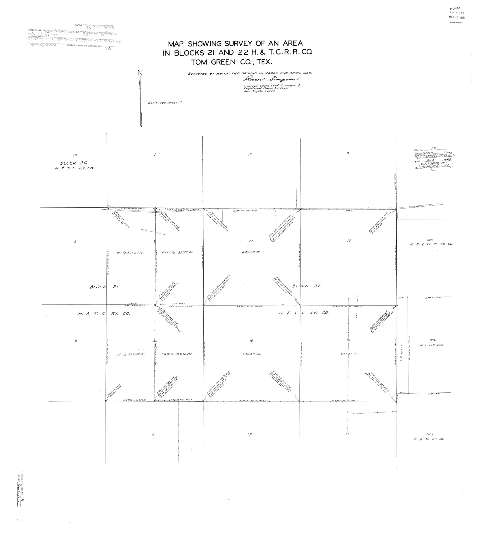
Map showing survey of an area in Blocks 21 and 22, H. & T. C. R.R. Co., Tom Green Co., Tex.
-
Map/Doc
8002
-
Collection
General Map Collection
-
Object Dates
1959 (Creation Date)
1959/5/5 (File Date)
-
People and Organizations
Roscoe Simpson (Surveyor/Engineer)
-
Counties
Tom Green
-
Subjects
Surveying Rolled Sketch
-
Height x Width
35.0 x 32.1 inches
88.9 x 81.5 cm
-
Scale
1" = 300 varas
Part of: General Map Collection
Township No. 6 South Range No. 9 West of the Indian Meridian

Print $20.00
- Digital $50.00
Township No. 6 South Range No. 9 West of the Indian Meridian
1874
Size 19.2 x 24.5 inches
Map/Doc 75166
Red River County Rolled Sketch 4

Print $20.00
- Digital $50.00
Red River County Rolled Sketch 4
Size 37.3 x 32.2 inches
Map/Doc 9841

Concho County Working Sketch 11

Print $20.00
- Digital $50.00
Concho County Working Sketch 11
1951
Size 22.0 x 23.2 inches
Map/Doc 68193

Harrison County Rolled Sketch 7

Print $20.00
- Digital $50.00
Harrison County Rolled Sketch 7
1953
Size 36.0 x 37.1 inches
Map/Doc 9144
Amistad International Reservoir on Rio Grande 71

Print $20.00
- Digital $50.00
Amistad International Reservoir on Rio Grande 71
1949
Size 28.3 x 39.5 inches
Map/Doc 73358
Presidio County Sketch File 70a

Print $6.00
- Digital $50.00
Presidio County Sketch File 70a
1923
Size 17.0 x 11.0 inches
Map/Doc 34669
Brewster County Working Sketch 115

Print $40.00
- Digital $50.00
Brewster County Working Sketch 115
1985
Size 49.6 x 43.4 inches
Map/Doc 67715
A General Map of the Roman Empire Shewing the Situation of all its Provinces & ye Seats of ye Barbarous Nations on their Frontiers

Print $20.00
- Digital $50.00
A General Map of the Roman Empire Shewing the Situation of all its Provinces & ye Seats of ye Barbarous Nations on their Frontiers
1744
Size 10.8 x 20.5 inches
Map/Doc 96644
[Map Showing Location and Right of Way of Proposed Groins]
![73623, [Map Showing Location and Right of Way of Proposed Groins], General Map Collection](https://historictexasmaps.com/wmedia_w700/maps/73623-1.tif.jpg)
Print $4.00
- Digital $50.00
[Map Showing Location and Right of Way of Proposed Groins]
Size 13.4 x 24.4 inches
Map/Doc 73623
Brewster County Rolled Sketch 42

Print $20.00
- Digital $50.00
Brewster County Rolled Sketch 42
1912
Size 18.5 x 43.3 inches
Map/Doc 5220
You may also like
Kenedy County Rolled Sketch 6

Print $20.00
- Digital $50.00
Kenedy County Rolled Sketch 6
1911
Size 28.5 x 25.4 inches
Map/Doc 6463
Presidio County Working Sketch 29a

Print $20.00
- Digital $50.00
Presidio County Working Sketch 29a
1946
Size 38.9 x 31.6 inches
Map/Doc 71706
Anderson County Working Sketch 40

Print $20.00
- Digital $50.00
Anderson County Working Sketch 40
1986
Size 17.0 x 20.3 inches
Map/Doc 67040
Flight Mission No. CRC-1R, Frame 35, Chambers County

Print $20.00
- Digital $50.00
Flight Mission No. CRC-1R, Frame 35, Chambers County
1956
Size 18.9 x 22.5 inches
Map/Doc 84703
Hardeman County Sketch File 1

Print $20.00
- Digital $50.00
Hardeman County Sketch File 1
Size 31.0 x 45.7 inches
Map/Doc 10477
Concho County Boundary File 3

Print $10.00
- Digital $50.00
Concho County Boundary File 3
Size 8.5 x 3.9 inches
Map/Doc 51820
Presidio County Working Sketch 75

Print $20.00
- Digital $50.00
Presidio County Working Sketch 75
1962
Size 36.3 x 32.4 inches
Map/Doc 71752
Comal County Working Sketch 8

Print $20.00
- Digital $50.00
Comal County Working Sketch 8
1971
Size 41.6 x 25.6 inches
Map/Doc 68174
Frio County Working Sketch 2

Print $20.00
- Digital $50.00
Frio County Working Sketch 2
1914
Size 17.9 x 15.1 inches
Map/Doc 69276
[Victoria District]
![1945, [Victoria District], General Map Collection](https://historictexasmaps.com/wmedia_w700/maps/1945.tif.jpg)
Print $20.00
- Digital $50.00
[Victoria District]
Size 34.8 x 25.6 inches
Map/Doc 1945
[Part of Block GG and river sections 68 1/2 -73]
![90471, [Part of Block GG and river sections 68 1/2 -73], Twichell Survey Records](https://historictexasmaps.com/wmedia_w700/maps/90471-1.tif.jpg)
Print $20.00
- Digital $50.00
[Part of Block GG and river sections 68 1/2 -73]
Size 28.0 x 19.2 inches
Map/Doc 90471
University and College Lands

Print $20.00
- Digital $50.00
University and College Lands
1841
Size 21.3 x 27.0 inches
Map/Doc 169