[Part of Block GG and river sections 68 1/2 -73]
53-20
-
Map/Doc
90471
-
Collection
Twichell Survey Records
-
Counties
Crockett
-
Height x Width
28.0 x 19.2 inches
71.1 x 48.8 cm
Part of: Twichell Survey Records
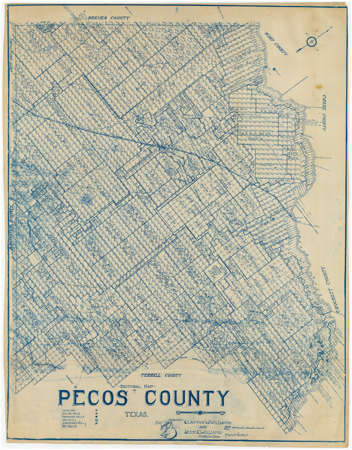
Sectional Map of Pecos County, Texas

Print $20.00
- Digital $50.00
Sectional Map of Pecos County, Texas
1927
Size 36.5 x 46.4 inches
Map/Doc 89878
Map A [showing surveys along river and in vicinity of Archer County School Land League 3]
![89751, Map A [showing surveys along river and in vicinity of Archer County School Land League 3], Twichell Survey Records](https://historictexasmaps.com/wmedia_w700/maps/89751-1.tif.jpg)
![89751, Map A [showing surveys along river and in vicinity of Archer County School Land League 3], Twichell Survey Records](https://historictexasmaps.com/wmedia_w700/maps/89751-1.tif.jpg)
Print $20.00
- Digital $50.00
Map A [showing surveys along river and in vicinity of Archer County School Land League 3]
Size 42.3 x 38.0 inches
Map/Doc 89751
[Map showing State Capitol Lands]
![93145, [Map showing State Capitol Lands], Twichell Survey Records](https://historictexasmaps.com/wmedia_w700/maps/93145-1.tif.jpg)
![93145, [Map showing State Capitol Lands], Twichell Survey Records](https://historictexasmaps.com/wmedia_w700/maps/93145-1.tif.jpg)
Print $40.00
- Digital $50.00
[Map showing State Capitol Lands]
Size 50.9 x 65.8 inches
Map/Doc 93145
Mrs. W. H. Bledsoe Farm NE 100.2 Acres of Section 37, Block AK


Print $2.00
- Digital $50.00
Mrs. W. H. Bledsoe Farm NE 100.2 Acres of Section 37, Block AK
Size 10.6 x 9.2 inches
Map/Doc 92283
[T. & P. Blocks 43-45, Townships 1S and 1N]
![90878, [T. & P. Blocks 43-45, Townships 1S and 1N], Twichell Survey Records](https://historictexasmaps.com/wmedia_w700/maps/90878-2.tif.jpg)
![90878, [T. & P. Blocks 43-45, Townships 1S and 1N], Twichell Survey Records](https://historictexasmaps.com/wmedia_w700/maps/90878-2.tif.jpg)
Print $20.00
- Digital $50.00
[T. & P. Blocks 43-45, Townships 1S and 1N]
Size 22.9 x 18.0 inches
Map/Doc 90878
Section A, Tech Memorial Park, Inc.


Print $20.00
- Digital $50.00
Section A, Tech Memorial Park, Inc.
Size 21.6 x 15.6 inches
Map/Doc 92785
[Mrs. May Vinson Survey]
![91877, [Mrs. May Vinson Survey], Twichell Survey Records](https://historictexasmaps.com/wmedia_w700/maps/91877-1.tif.jpg)
![91877, [Mrs. May Vinson Survey], Twichell Survey Records](https://historictexasmaps.com/wmedia_w700/maps/91877-1.tif.jpg)
Print $20.00
- Digital $50.00
[Mrs. May Vinson Survey]
Size 26.7 x 14.8 inches
Map/Doc 91877
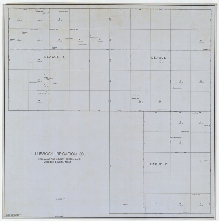
Lubbock Irrigation Co. San Augustine County School Land Lubbock County, Texas

Print $20.00
- Digital $50.00
Lubbock Irrigation Co. San Augustine County School Land Lubbock County, Texas
Size 37.5 x 37.9 inches
Map/Doc 89894
[Block 1 and surrounding blocks]
![90755, [Block 1 and surrounding blocks], Twichell Survey Records](https://historictexasmaps.com/wmedia_w700/maps/90755-1.tif.jpg)
![90755, [Block 1 and surrounding blocks], Twichell Survey Records](https://historictexasmaps.com/wmedia_w700/maps/90755-1.tif.jpg)
Print $20.00
- Digital $50.00
[Block 1 and surrounding blocks]
1903
Size 18.8 x 19.8 inches
Map/Doc 90755
[Blocks M25, M22, R, and vicinity]
![91240, [Blocks M25, M22, R, and vicinity], Twichell Survey Records](https://historictexasmaps.com/wmedia_w700/maps/91240-1.tif.jpg)
![91240, [Blocks M25, M22, R, and vicinity], Twichell Survey Records](https://historictexasmaps.com/wmedia_w700/maps/91240-1.tif.jpg)
Print $20.00
- Digital $50.00
[Blocks M25, M22, R, and vicinity]
1922
Size 29.0 x 25.7 inches
Map/Doc 91240
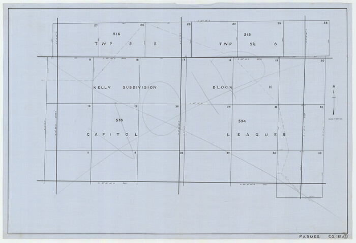
Brazos River Conservation and Reclamation District Official Boundary Line Survey, Parmer County

Print $20.00
- Digital $50.00
Brazos River Conservation and Reclamation District Official Boundary Line Survey, Parmer County
Size 24.5 x 16.9 inches
Map/Doc 91658
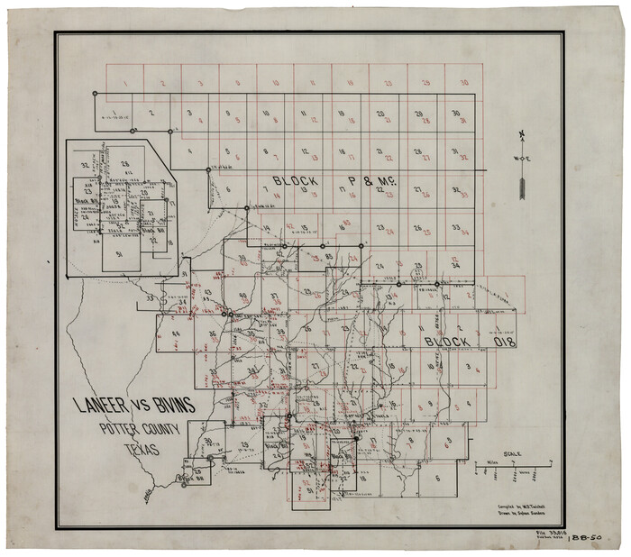
Laneer vs. Bivins, Potter County, Texas

Print $20.00
- Digital $50.00
Laneer vs. Bivins, Potter County, Texas
Size 21.7 x 19.0 inches
Map/Doc 93103
You may also like
Baylor County Sketch File 12E


Print $11.00
- Digital $50.00
Baylor County Sketch File 12E
1900
Size 14.3 x 8.8 inches
Map/Doc 14159
Oldham School Land, Cochran County


Print $20.00
- Digital $50.00
Oldham School Land, Cochran County
Size 13.4 x 21.8 inches
Map/Doc 90302
Karnes County Working Sketch 3


Print $20.00
- Digital $50.00
Karnes County Working Sketch 3
1943
Size 34.6 x 31.4 inches
Map/Doc 66651
Zavala County Rolled Sketch 26


Print $20.00
- Digital $50.00
Zavala County Rolled Sketch 26
1952
Size 25.3 x 41.8 inches
Map/Doc 8328
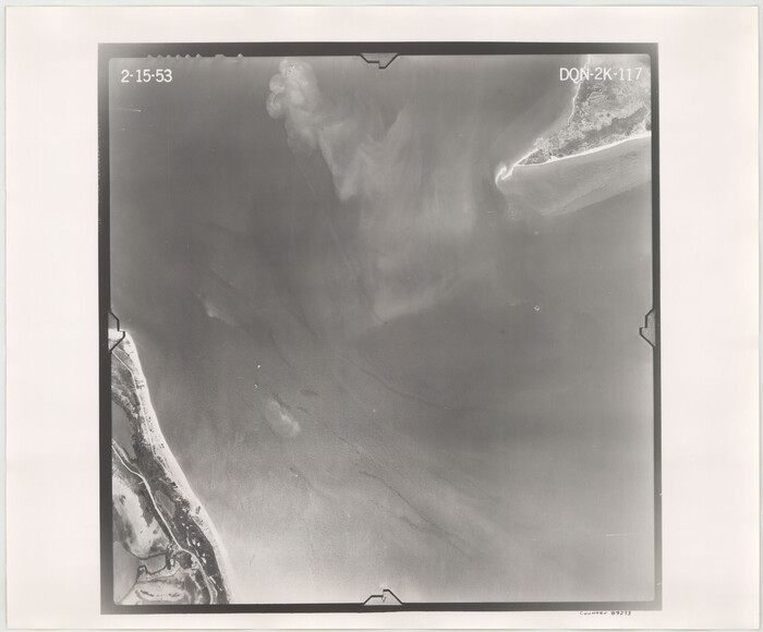
Flight Mission No. DQN-2K, Frame 117, Calhoun County

Print $20.00
- Digital $50.00
Flight Mission No. DQN-2K, Frame 117, Calhoun County
1953
Size 18.3 x 22.1 inches
Map/Doc 84293
Baylor County Sketch File 12h

Print $49.00
- Digital $50.00
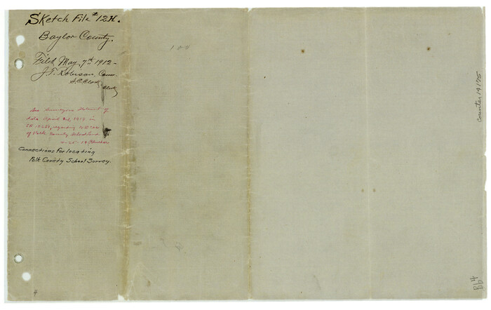
Baylor County Sketch File 12h
Size 9.3 x 14.7 inches
Map/Doc 14175
Old Miscellaneous File 21

Print $16.00
- Digital $50.00
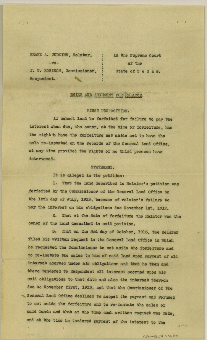
Old Miscellaneous File 21
Size 14.3 x 8.7 inches
Map/Doc 75583
Chambers County Sketch File 19

Print $26.00
- Digital $50.00
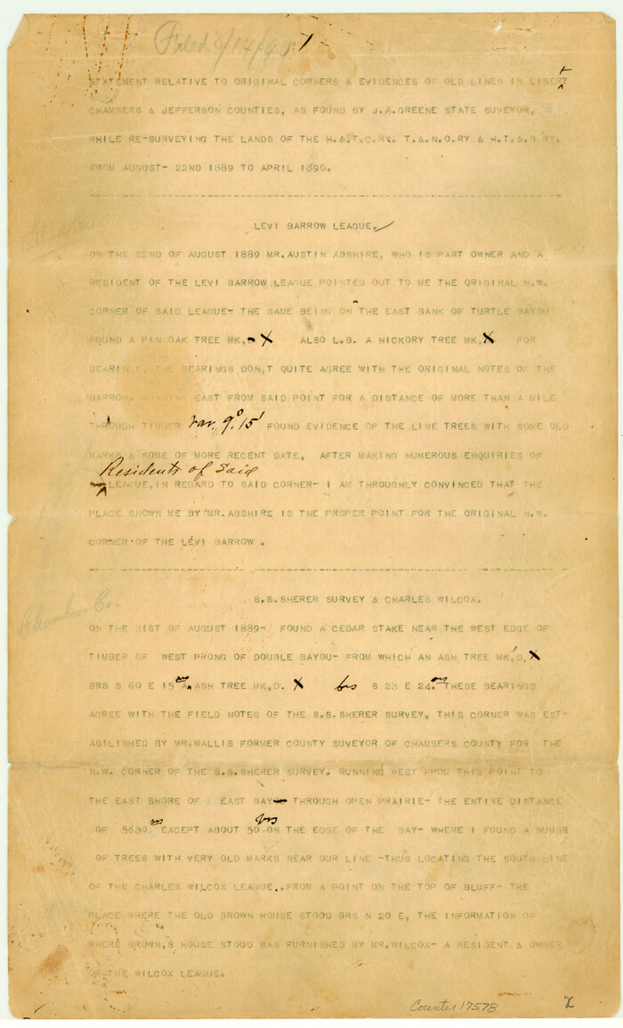
Chambers County Sketch File 19
Size 14.1 x 8.6 inches
Map/Doc 17578
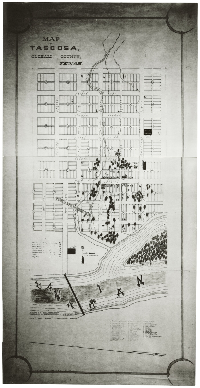
Map of Tascosa, Oldham County, Texas

Print $20.00
- Digital $50.00
Map of Tascosa, Oldham County, Texas
1886
Size 28.2 x 14.6 inches
Map/Doc 83011
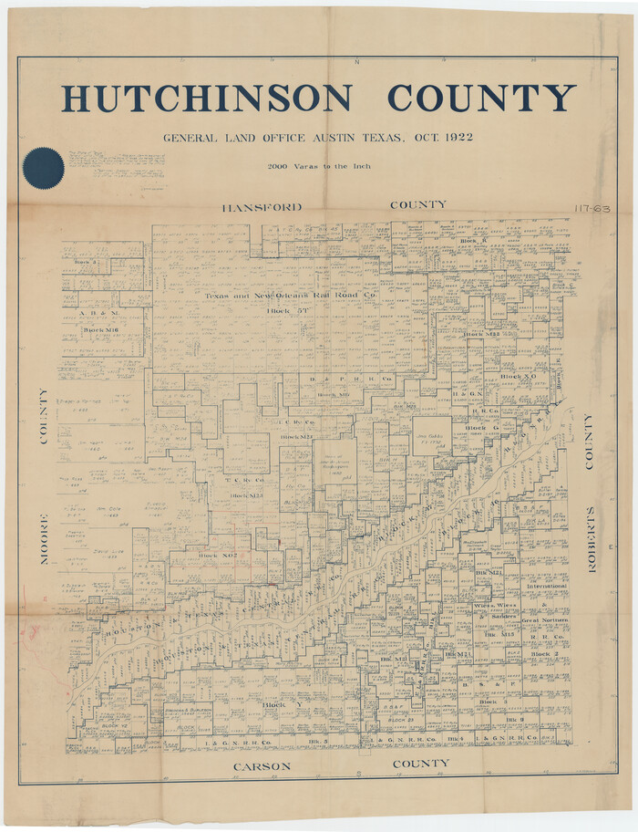
Hutchinson County, 1922

Print $20.00
- Digital $50.00
Hutchinson County, 1922
1922
Size 36.5 x 47.6 inches
Map/Doc 89699
Kimble County Sketch File 9

Print $22.00
- Digital $50.00
Kimble County Sketch File 9
1871
Size 8.2 x 14.1 inches
Map/Doc 28927
Floyd County Working Sketch 6


Print $20.00
- Digital $50.00
Floyd County Working Sketch 6
1965
Size 22.9 x 31.3 inches
Map/Doc 69185
![90471, [Part of Block GG and river sections 68 1/2 -73], Twichell Survey Records](https://historictexasmaps.com/wmedia_w1800h1800/maps/90471-1.tif.jpg)