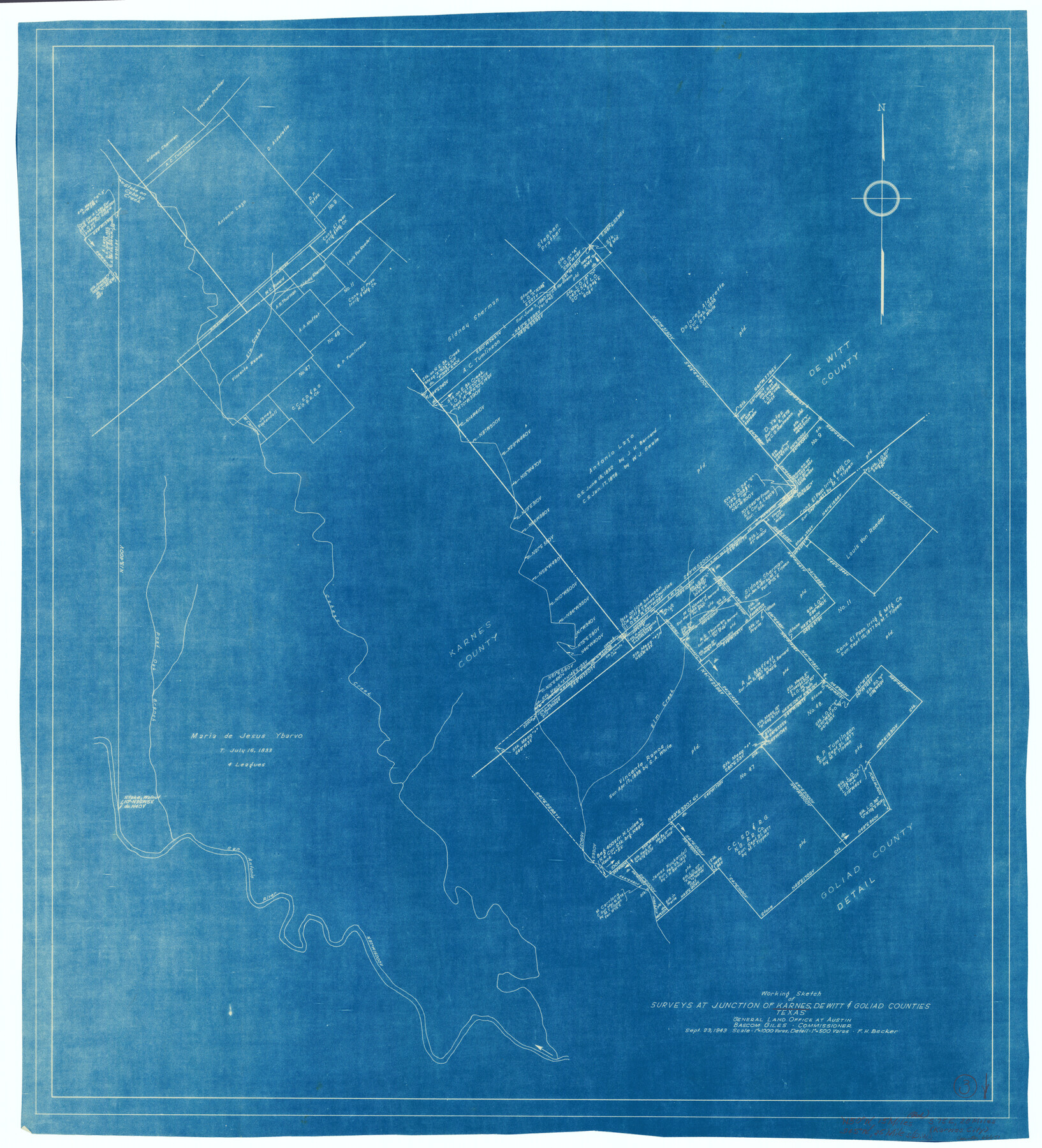
Karnes County Working Sketch 3
-
Map/Doc
66651
-
Collection
General Map Collection
-
Object Dates
9/23/1943 (Creation Date)
-
People and Organizations
F.H. Becker (Draftsman)
-
Counties
Karnes DeWitt Goliad
-
Subjects
Surveying Working Sketch
-
Height x Width
34.6 x 31.4 inches
87.9 x 79.8 cm
-
Scale
1" = 1000 varas
Part of: General Map Collection
Trinity County Boundary File 88a

Print $4.00
- Digital $50.00
Trinity County Boundary File 88a
Size 12.6 x 7.8 inches
Map/Doc 59478
Aransas Pass to Baffin Bay

Print $40.00
- Digital $50.00
Aransas Pass to Baffin Bay
1988
Size 48.7 x 36.0 inches
Map/Doc 73422
Map of Fayette County

Print $20.00
- Digital $50.00
Map of Fayette County
1865
Size 23.2 x 28.8 inches
Map/Doc 3540
Kimble County Rolled Sketch 23

Print $20.00
- Digital $50.00
Kimble County Rolled Sketch 23
Size 16.0 x 21.0 inches
Map/Doc 6513
McCulloch County Rolled Sketch 9

Print $20.00
- Digital $50.00
McCulloch County Rolled Sketch 9
Size 21.0 x 25.9 inches
Map/Doc 6719
Webb County Working Sketch 29

Print $20.00
- Digital $50.00
Webb County Working Sketch 29
1933
Size 14.6 x 20.8 inches
Map/Doc 72394
Lynn County Rolled Sketch 11

Print $20.00
- Digital $50.00
Lynn County Rolled Sketch 11
1940
Size 14.2 x 16.4 inches
Map/Doc 6647
Moore County Working Sketch 4

Print $20.00
- Digital $50.00
Moore County Working Sketch 4
1911
Size 20.1 x 15.6 inches
Map/Doc 71186
Galveston County NRC Article 33.136 Sketch 15

Print $24.00
- Digital $50.00
Galveston County NRC Article 33.136 Sketch 15
2002
Size 23.0 x 35.0 inches
Map/Doc 77046
Stephens County Sketch File 9a

Print $4.00
- Digital $50.00
Stephens County Sketch File 9a
1884
Size 8.6 x 8.2 inches
Map/Doc 37040
Cameron County Rolled Sketch 26

Print $20.00
- Digital $50.00
Cameron County Rolled Sketch 26
Size 18.5 x 24.3 inches
Map/Doc 5390
Map of Africa engraved to illustrate Mitchell's school and family geography (Inset 1: Map of Egypt / Inset 2: Map of Liberia)

Print $20.00
- Digital $50.00
Map of Africa engraved to illustrate Mitchell's school and family geography (Inset 1: Map of Egypt / Inset 2: Map of Liberia)
1839
Size 9.5 x 11.8 inches
Map/Doc 93507
You may also like
Schönberg's map of Texas.

Print $20.00
Schönberg's map of Texas.
1866
Size 11.0 x 13.0 inches
Map/Doc 93575
[Sketch for Mineral Application 24072, San Jacinto River]
![65589, [Sketch for Mineral Application 24072, San Jacinto River], General Map Collection](https://historictexasmaps.com/wmedia_w700/maps/65589.tif.jpg)
Print $20.00
- Digital $50.00
[Sketch for Mineral Application 24072, San Jacinto River]
1929
Size 29.6 x 14.7 inches
Map/Doc 65589
Tarrant County Sketch File 1a

Print $4.00
- Digital $50.00
Tarrant County Sketch File 1a
1851
Size 10.2 x 7.8 inches
Map/Doc 37670
From Aransas Pass Eastward, Texas

Print $40.00
- Digital $50.00
From Aransas Pass Eastward, Texas
1866
Size 31.4 x 53.6 inches
Map/Doc 73426
Jeff Davis County Sketch File 41

Print $40.00
- Digital $50.00
Jeff Davis County Sketch File 41
1959
Size 13.3 x 13.4 inches
Map/Doc 28064
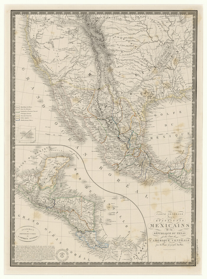
Carte Générale des États-Unis Mexicains de la République du Texas et des Etats de L'Amérique Centrale
Print $20.00
- Digital $50.00
Carte Générale des États-Unis Mexicains de la République du Texas et des Etats de L'Amérique Centrale
1844
Size 21.9 x 16.3 inches
Map/Doc 97532
Pecos County Sketch File 108

Print $4.00
- Digital $50.00
Pecos County Sketch File 108
1974
Size 14.3 x 8.6 inches
Map/Doc 34037
Motley County Boundary File 1a

Print $8.00
- Digital $50.00
Motley County Boundary File 1a
Size 11.2 x 8.5 inches
Map/Doc 57501
Jefferson County Aerial Photograph Index Sheet 1

Print $20.00
- Digital $50.00
Jefferson County Aerial Photograph Index Sheet 1
1953
Size 23.3 x 16.8 inches
Map/Doc 83707
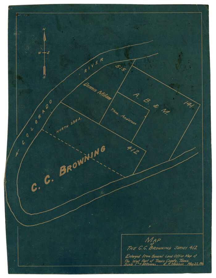
Map of the C.C. Browning survey 412 enlarged from General Land Office map of the west part of Travis County, Texas
Print $3.00
- Digital $50.00
Map of the C.C. Browning survey 412 enlarged from General Land Office map of the west part of Travis County, Texas
1920
Size 11.3 x 9.1 inches
Map/Doc 10752
[Sketch for Mineral Applications 26885-6 - Reagan and Crockett Cos., W. H. Bland]
![3219, [Sketch for Mineral Applications 26885-6 - Reagan and Crockett Cos., W. H. Bland], General Map Collection](https://historictexasmaps.com/wmedia_w700/maps/3219-1.tif.jpg)
Print $20.00
- Digital $50.00
[Sketch for Mineral Applications 26885-6 - Reagan and Crockett Cos., W. H. Bland]
1932
Size 38.4 x 9.7 inches
Map/Doc 3219
Cameron County Aerial Photograph Index Sheet 6

Print $20.00
- Digital $50.00
Cameron County Aerial Photograph Index Sheet 6
1955
Size 20.6 x 14.0 inches
Map/Doc 83678