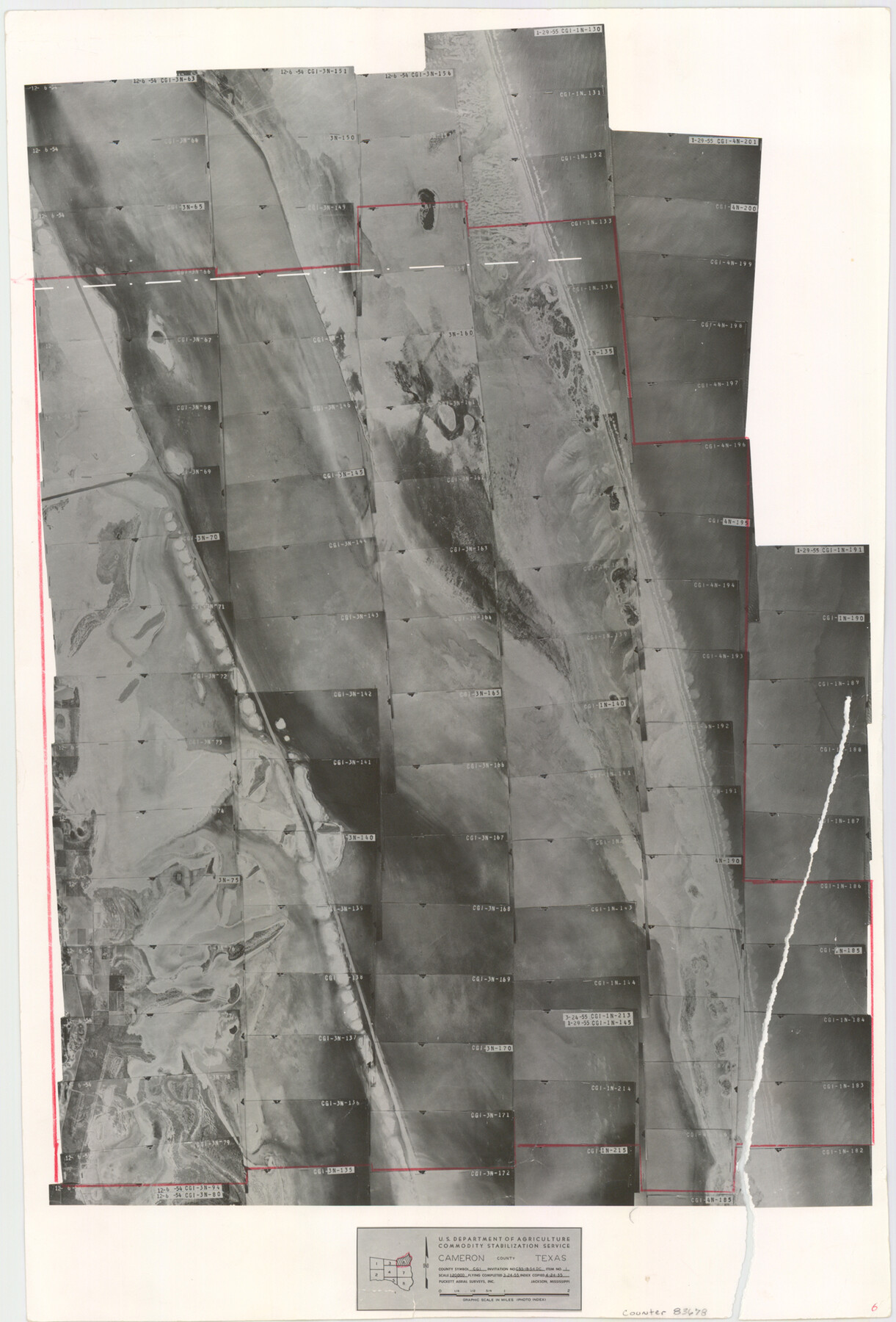
Cameron County Aerial Photograph Index Sheet 6
Cameron County Aerial Photograph Index 6
-
Map/Doc
83678
-
Collection
General Map Collection
-
Object Dates
1955/4/24 (Creation Date)
-
People and Organizations
U. S. Department of Agriculture (Publisher)
-
Counties
Cameron
-
Subjects
Aerial Photograph
-
Height x Width
20.6 x 14.0 inches
52.3 x 35.6 cm
-
Comments
Flying completed March 24, 1955 by Puckett Aerial Surveys, Inc. of Jackson, Mississippi.
Part of: General Map Collection
Johnson County Working Sketch 14

Print $20.00
- Digital $50.00
Johnson County Working Sketch 14
1974
Size 37.3 x 31.7 inches
Map/Doc 66627
Refugio County Working Sketch Graphic Index

Print $20.00
- Digital $50.00
Refugio County Working Sketch Graphic Index
1921
Size 38.9 x 47.8 inches
Map/Doc 76683
Webb County Working Sketch 53

Print $20.00
- Digital $50.00
Webb County Working Sketch 53
1952
Size 27.5 x 29.0 inches
Map/Doc 72419

Hays County Working Sketch 2

Print $20.00
- Digital $50.00
Hays County Working Sketch 2
1920
Size 26.1 x 27.1 inches
Map/Doc 66076
Flight Mission No. DQO-8K, Frame 113, Galveston County

Print $20.00
- Digital $50.00
Flight Mission No. DQO-8K, Frame 113, Galveston County
1952
Size 18.6 x 22.5 inches
Map/Doc 85195
San Saba County Sketch File 17

Print $8.00
- Digital $50.00
San Saba County Sketch File 17
1918
Size 11.4 x 8.8 inches
Map/Doc 36456
Edwards County Working Sketch 64

Print $20.00
- Digital $50.00
Edwards County Working Sketch 64
1956
Size 20.9 x 16.3 inches
Map/Doc 68940
Blanco County Sketch File 34

Print $4.00
- Digital $50.00
Blanco County Sketch File 34
1879
Size 12.7 x 8.2 inches
Map/Doc 14637
Coryelle County

Print $20.00
- Digital $50.00
Coryelle County
1855
Size 18.6 x 23.1 inches
Map/Doc 51904
Red River County Working Sketch 54

Print $20.00
- Digital $50.00
Red River County Working Sketch 54
1971
Size 19.3 x 31.1 inches
Map/Doc 72037
[Sketch for Mineral Application 24072, San Jacinto River]
![65593, [Sketch for Mineral Application 24072, San Jacinto River], General Map Collection](https://historictexasmaps.com/wmedia_w700/maps/65593.tif.jpg)
Print $20.00
- Digital $50.00
[Sketch for Mineral Application 24072, San Jacinto River]
1929
Size 19.1 x 16.9 inches
Map/Doc 65593
You may also like
Medina County Working Sketch 27

Print $20.00
- Digital $50.00
Medina County Working Sketch 27
1985
Size 22.8 x 24.8 inches
Map/Doc 70942
[John B. Robinson and surrounding surveys]
![91040, [John B. Robinson and surrounding surveys], Twichell Survey Records](https://historictexasmaps.com/wmedia_w700/maps/91040-1.tif.jpg)
Print $20.00
- Digital $50.00
[John B. Robinson and surrounding surveys]
Size 12.9 x 15.2 inches
Map/Doc 91040
Railroad Track Map, H&TCRRCo., Falls County, Texas

Print $4.00
- Digital $50.00
Railroad Track Map, H&TCRRCo., Falls County, Texas
1918
Size 11.7 x 18.5 inches
Map/Doc 62843
Donley County Sketch File 7

Print $20.00
- Digital $50.00
Donley County Sketch File 7
Size 38.3 x 38.2 inches
Map/Doc 10367
Edwards County Sketch File 2 and 3

Print $8.00
- Digital $50.00
Edwards County Sketch File 2 and 3
1874
Size 9.3 x 4.1 inches
Map/Doc 21676
Edwards County Working Sketch 69

Print $20.00
- Digital $50.00
Edwards County Working Sketch 69
1957
Size 20.3 x 22.5 inches
Map/Doc 68945
Frio County Working Sketch 7

Print $20.00
- Digital $50.00
Frio County Working Sketch 7
1942
Size 26.5 x 43.3 inches
Map/Doc 69281
Hartley County Boundary File 5

Print $6.00
- Digital $50.00
Hartley County Boundary File 5
Size 12.7 x 8.2 inches
Map/Doc 54515
Lubbock County

Print $20.00
- Digital $50.00
Lubbock County
1879
Size 21.3 x 19.1 inches
Map/Doc 4583
San Patricio County Rolled Sketch 53

Print $20.00
- Digital $50.00
San Patricio County Rolled Sketch 53
1996
Size 19.1 x 25.3 inches
Map/Doc 7738
Foard County Boundary File 5

Print $20.00
- Digital $50.00
Foard County Boundary File 5
Size 10.3 x 8.8 inches
Map/Doc 53536
Roberts County Working Sketch 12

Print $20.00
- Digital $50.00
Roberts County Working Sketch 12
Size 25.5 x 22.5 inches
Map/Doc 63538