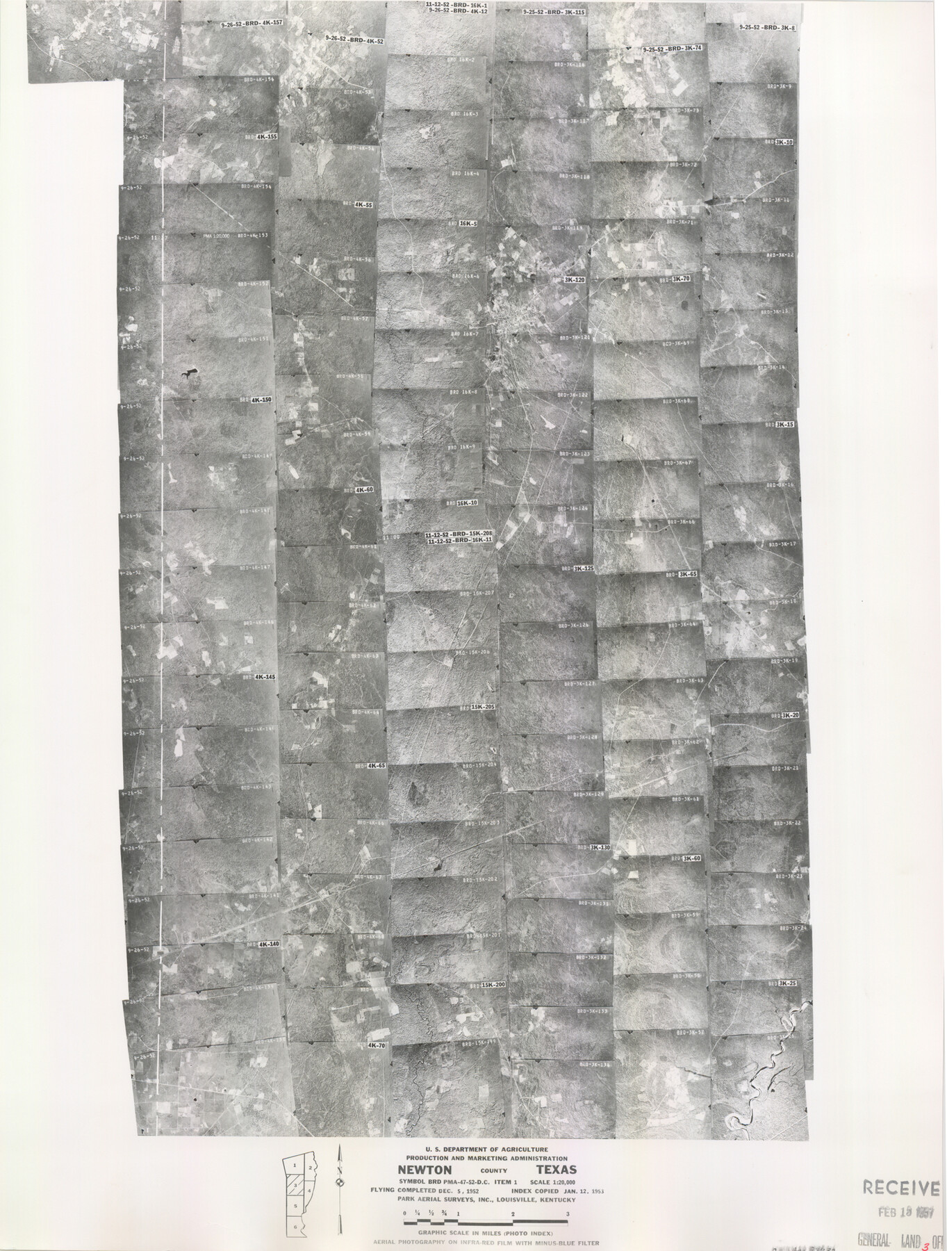
Newton County Aerial Photograph Index Sheet 3
Newton County Aerial Photograph Index 3
-
Map/Doc
83732
-
Collection
General Map Collection
-
Object Dates
1953/1/12 (Creation Date)
-
People and Organizations
U. S. Department of Agriculture (Publisher)
-
Counties
Newton
-
Subjects
Aerial Photograph
-
Height x Width
23.7 x 18.0 inches
60.2 x 45.7 cm
-
Comments
Flying completed December 5, 1952 by Park Aerial Surveys, Inc. of Louisville, Kentucky.
Received in office February 15, 1957.
Part of: General Map Collection
Scurry County Sketch File 6

Print $14.00
- Digital $50.00
Scurry County Sketch File 6
2002
Size 11.2 x 8.7 inches
Map/Doc 76370
Flight Mission No. BRA-3M, Frame 127, Jefferson County

Print $20.00
- Digital $50.00
Flight Mission No. BRA-3M, Frame 127, Jefferson County
1953
Size 18.5 x 21.6 inches
Map/Doc 85401
Chambers County NRC Article 33.136 Sketch 16

Print $184.00
Chambers County NRC Article 33.136 Sketch 16
2025
Map/Doc 97514
Hudspeth County Rolled Sketch 60

Print $20.00
- Digital $50.00
Hudspeth County Rolled Sketch 60
1982
Size 43.4 x 44.4 inches
Map/Doc 9225
Bosque County Working Sketch 12

Print $20.00
- Digital $50.00
Bosque County Working Sketch 12
1957
Size 18.3 x 21.8 inches
Map/Doc 67445
Leon County Working Sketch 27

Print $20.00
- Digital $50.00
Leon County Working Sketch 27
1970
Size 22.4 x 24.4 inches
Map/Doc 70426
Bell County Working Sketch 14

Print $20.00
- Digital $50.00
Bell County Working Sketch 14
1966
Size 38.7 x 30.8 inches
Map/Doc 67354
Flight Mission No. BQR-4K, Frame 71, Brazoria County

Print $20.00
- Digital $50.00
Flight Mission No. BQR-4K, Frame 71, Brazoria County
1952
Size 18.8 x 22.4 inches
Map/Doc 84004
Grimes County State Real Property Sketch 1

Print $20.00
- Digital $50.00
Grimes County State Real Property Sketch 1
2001
Size 36.0 x 24.8 inches
Map/Doc 80133
Reagan County

Print $40.00
- Digital $50.00
Reagan County
1940
Size 49.8 x 40.2 inches
Map/Doc 73341
Jackson County Sketch File 24

Print $20.00
- Digital $50.00
Jackson County Sketch File 24
1949
Size 17.5 x 23.4 inches
Map/Doc 11844
Borden County Sketch File 6

Print $8.00
- Digital $50.00
Borden County Sketch File 6
1900
Size 11.2 x 8.7 inches
Map/Doc 14719
You may also like
Val Verde County Sketch File 45

Print $20.00
- Digital $50.00
Val Verde County Sketch File 45
1938
Size 21.3 x 16.5 inches
Map/Doc 12586
Hidalgo County Sketch File 7a

Print $4.00
- Digital $50.00
Hidalgo County Sketch File 7a
1886
Size 12.8 x 8.2 inches
Map/Doc 26405
Bandera County Working Sketch 26

Print $20.00
- Digital $50.00
Bandera County Working Sketch 26
1951
Size 32.3 x 28.4 inches
Map/Doc 67622
Plan de la Villa de Austin

Print $20.00
- Digital $50.00
Plan de la Villa de Austin
1828
Size 18.5 x 12.5 inches
Map/Doc 94116
Lubbock County

Print $20.00
- Digital $50.00
Lubbock County
1968
Size 43.5 x 35.4 inches
Map/Doc 77359
Johnson's New Military Map of the United States Showing the Forts, Military Posts & c. with Enlarged Plans of Southern Harbors

Print $20.00
- Digital $50.00
Johnson's New Military Map of the United States Showing the Forts, Military Posts & c. with Enlarged Plans of Southern Harbors
1863
Size 17.7 x 23.3 inches
Map/Doc 93289
Armstrong County Sketch File A-11

Print $40.00
- Digital $50.00
Armstrong County Sketch File A-11
Size 17.0 x 14.8 inches
Map/Doc 10853
Fisher County Rolled Sketch Y

Print $20.00
- Digital $50.00
Fisher County Rolled Sketch Y
Size 42.1 x 25.4 inches
Map/Doc 5878
Newton County Working Sketch 21

Print $20.00
- Digital $50.00
Newton County Working Sketch 21
1952
Size 27.5 x 32.5 inches
Map/Doc 71267
[Block 37, Townships 1 and 2 North]
![91344, [Block 37, Townships 1 and 2 North], Twichell Survey Records](https://historictexasmaps.com/wmedia_w700/maps/91344-1.tif.jpg)
Print $20.00
- Digital $50.00
[Block 37, Townships 1 and 2 North]
Size 13.9 x 34.3 inches
Map/Doc 91344
Map of Clay County

Print $20.00
- Digital $50.00
Map of Clay County
1883
Size 26.0 x 23.3 inches
Map/Doc 3396
Flight Mission No. BRE-1P, Frame 116, Nueces County

Print $20.00
- Digital $50.00
Flight Mission No. BRE-1P, Frame 116, Nueces County
1956
Size 18.6 x 22.5 inches
Map/Doc 86682