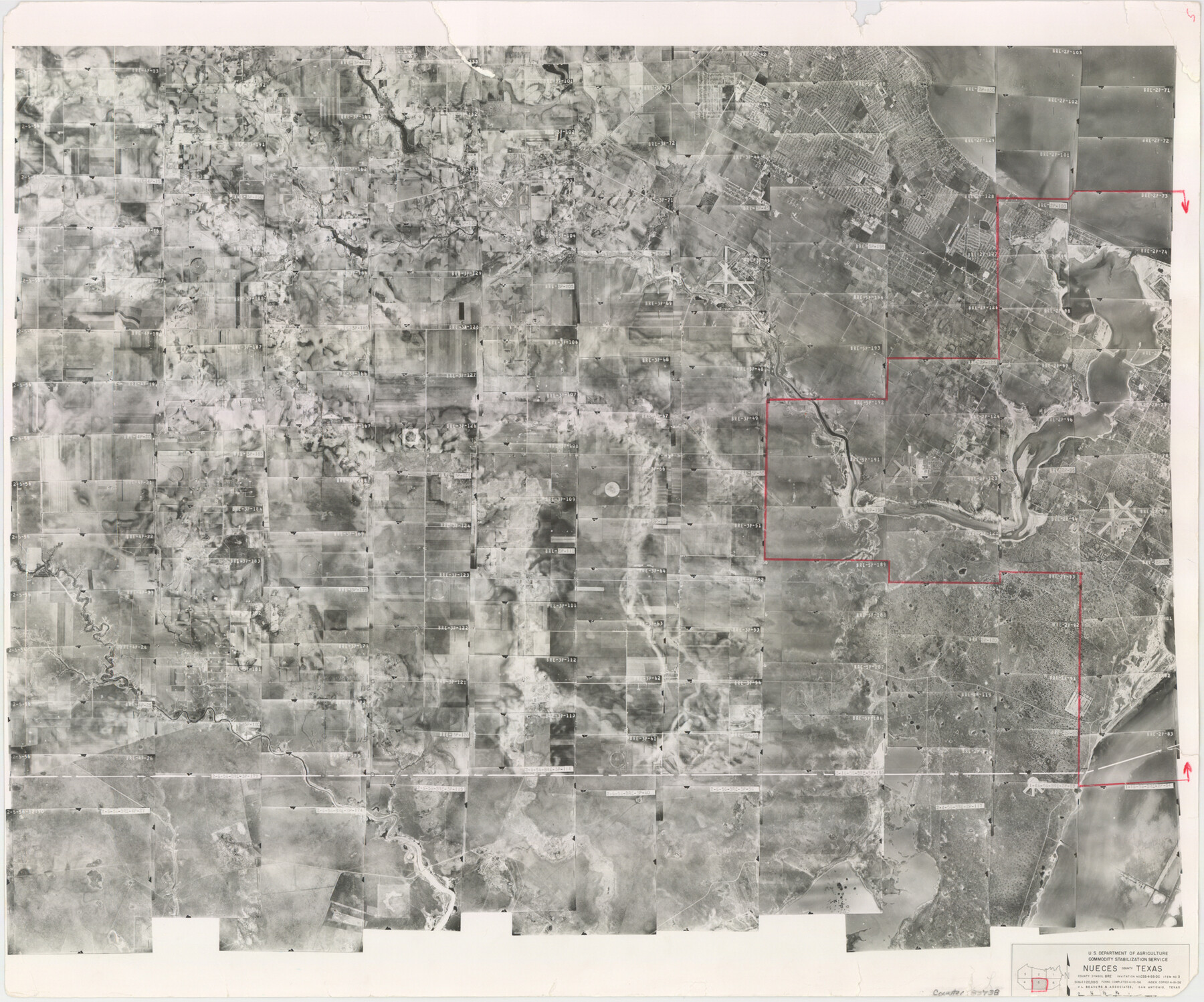
Nueces County Aerial Photograph Index Sheet 5
Nueces County Aerial Photograph Index 5
-
Map/Doc
83738
-
Collection
General Map Collection
-
Object Dates
1956/4/19 (Creation Date)
-
People and Organizations
U. S. Department of Agriculture (Publisher)
-
Counties
Nueces
-
Subjects
Aerial Photograph
-
Height x Width
19.5 x 23.4 inches
49.5 x 59.4 cm
-
Comments
Flying completed April 10, 1956 by V. L. Beavers and Associates of San Antonio, Texas.
Part of: General Map Collection
Archer County Sketch File 27

Print $40.00
- Digital $50.00
Archer County Sketch File 27
Size 19.1 x 21.1 inches
Map/Doc 10833
Taylor County Sketch File 2

Print $20.00
- Digital $50.00
Taylor County Sketch File 2
Size 13.8 x 18.4 inches
Map/Doc 12408
Medina County Boundary File 3

Print $8.00
- Digital $50.00
Medina County Boundary File 3
Size 11.2 x 8.7 inches
Map/Doc 57031
Pecos County Sketch File 24

Print $22.00
- Digital $50.00
Pecos County Sketch File 24
Size 7.6 x 5.6 inches
Map/Doc 33680
A New Map of Texas, Oregon, and California with the regions adjoining compiled from the most recent authorities

Print $20.00
- Digital $50.00
A New Map of Texas, Oregon, and California with the regions adjoining compiled from the most recent authorities
1846
Size 23.0 x 21.2 inches
Map/Doc 95748
Refugio County Boundary File 3

Print $4.00
- Digital $50.00
Refugio County Boundary File 3
Size 14.0 x 8.7 inches
Map/Doc 58244
Crockett County Rolled Sketch 65

Print $20.00
- Digital $50.00
Crockett County Rolled Sketch 65
1948
Size 13.4 x 27.5 inches
Map/Doc 5608

Harris County Sketch File 15

Print $4.00
- Digital $50.00
Harris County Sketch File 15
Size 8.0 x 8.9 inches
Map/Doc 25359
Duval County Rolled Sketch 37

Print $20.00
- Digital $50.00
Duval County Rolled Sketch 37
Size 27.1 x 17.9 inches
Map/Doc 5752
Dallas County Working Sketch Graphic Index

Print $20.00
- Digital $50.00
Dallas County Working Sketch Graphic Index
1942
Size 43.9 x 36.7 inches
Map/Doc 76517
Panola County Rolled Sketch 8

Print $20.00
- Digital $50.00
Panola County Rolled Sketch 8
1986
Size 20.1 x 18.0 inches
Map/Doc 7201
You may also like
Flight Mission No. BRA-7M, Frame 21, Jefferson County

Print $20.00
- Digital $50.00
Flight Mission No. BRA-7M, Frame 21, Jefferson County
1953
Size 18.4 x 22.2 inches
Map/Doc 85472
Kaufman County Boundary File 5a

Print $28.00
- Digital $50.00
Kaufman County Boundary File 5a
Size 14.2 x 8.8 inches
Map/Doc 55951
Kerr County Sketch File 19

Print $20.00
- Digital $50.00
Kerr County Sketch File 19
1950
Size 22.8 x 23.9 inches
Map/Doc 11922
Brazoria County Boundary File 12 1/2

Print $10.00
- Digital $50.00
Brazoria County Boundary File 12 1/2
Size 9.0 x 7.3 inches
Map/Doc 50733
[H. & G. N. Block 1]
![90942, [H. & G. N. Block 1], Twichell Survey Records](https://historictexasmaps.com/wmedia_w700/maps/90942-1.tif.jpg)
Print $20.00
- Digital $50.00
[H. & G. N. Block 1]
1873
Size 14.3 x 17.6 inches
Map/Doc 90942
Edwards County Working Sketch 35

Print $20.00
- Digital $50.00
Edwards County Working Sketch 35
1948
Size 20.9 x 31.1 inches
Map/Doc 68911
General Highway Map, Ellis County, Texas

Print $20.00
General Highway Map, Ellis County, Texas
1939
Size 18.4 x 24.9 inches
Map/Doc 79083
Crockett County Working Sketch Graphic Index - northeast part

Print $20.00
- Digital $50.00
Crockett County Working Sketch Graphic Index - northeast part
1976
Size 35.6 x 46.4 inches
Map/Doc 76511
![94196, New Mexico [Recto], General Map Collection](https://historictexasmaps.com/wmedia_w700/maps/94196.tif.jpg)
Bexar County Sketch File 37

Print $5.00
- Digital $50.00
Bexar County Sketch File 37
1861
Size 16.2 x 8.2 inches
Map/Doc 14512
Map of Waller County

Print $20.00
- Digital $50.00
Map of Waller County
1897
Size 46.7 x 28.9 inches
Map/Doc 16915
[Working Sketch in Martin County Showing Northwest Portion of County]
![91355, [Working Sketch in Martin County Showing Northwest Portion of County], Twichell Survey Records](https://historictexasmaps.com/wmedia_w700/maps/91355-1.tif.jpg)
Print $20.00
- Digital $50.00
[Working Sketch in Martin County Showing Northwest Portion of County]
1902
Size 17.1 x 36.0 inches
Map/Doc 91355