New Mexico [Recto]
Highway Map of New Mexico
-
Map/Doc
94196
-
Collection
General Map Collection
-
Object Dates
1963 (Creation Date)
-
People and Organizations
The H.M. Gousha Company (Publisher)
James Harkins (Donor)
-
Subjects
New Southwest
-
Height x Width
27.0 x 18.3 inches
68.6 x 46.5 cm
-
Medium
paper, etching/engraving/lithograph
-
Comments
For reference/research purposes only. Promotional map of New Mexico sponsored by Shell. Donated by James Harkins. See 94197 for verso.
Related maps
Part of: General Map Collection
Parker County
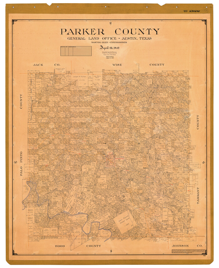

Print $20.00
- Digital $50.00
Parker County
1942
Size 47.7 x 38.9 inches
Map/Doc 95609
Hidalgo County Sketch File 18
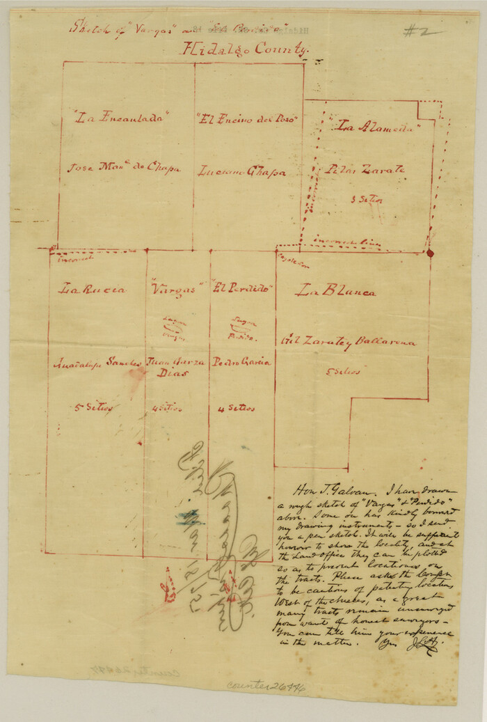

Print $4.00
- Digital $50.00
Hidalgo County Sketch File 18
Size 12.0 x 8.1 inches
Map/Doc 26446
Flight Mission No. DQO-8K, Frame 64, Galveston County
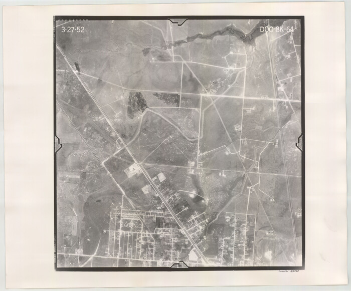

Print $20.00
- Digital $50.00
Flight Mission No. DQO-8K, Frame 64, Galveston County
1952
Size 18.6 x 22.4 inches
Map/Doc 85168
Presidio County Boundary File 3
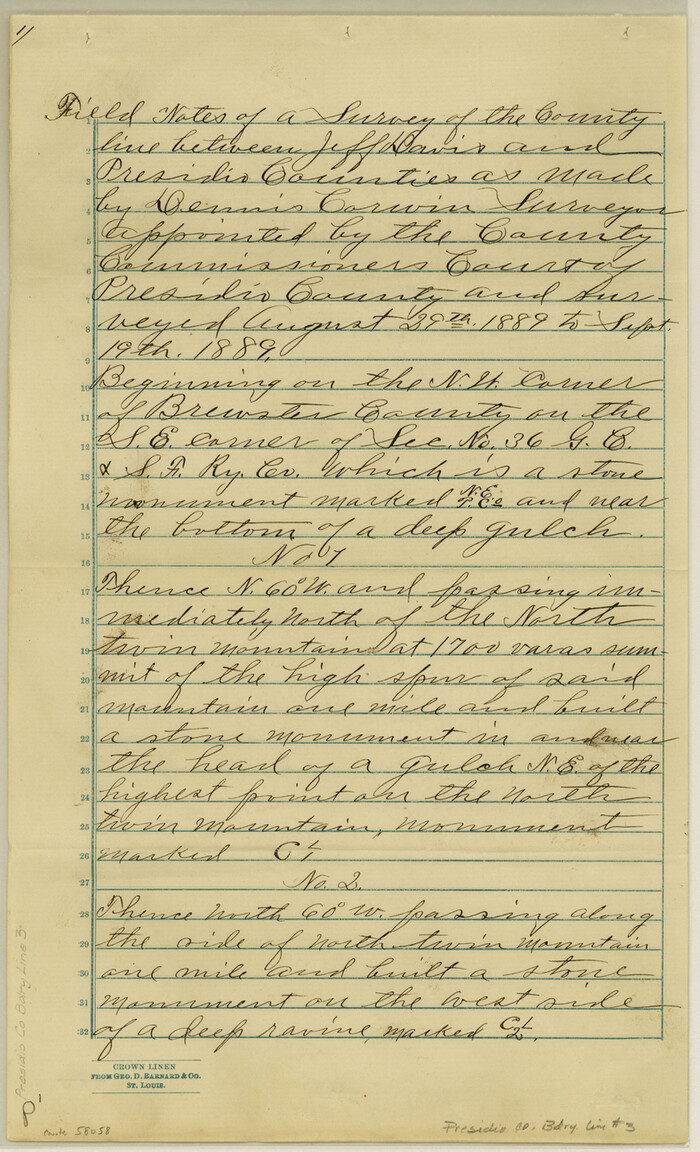

Print $33.00
- Digital $50.00
Presidio County Boundary File 3
Size 14.1 x 8.5 inches
Map/Doc 58058
Fort Bend County Boundary File 2
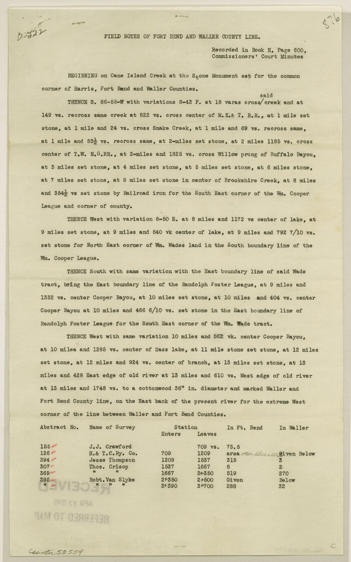

Print $8.00
- Digital $50.00
Fort Bend County Boundary File 2
Size 14.3 x 8.9 inches
Map/Doc 53559
2008 Official Travel Map Texas


Digital $50.00
2008 Official Travel Map Texas
Size 33.5 x 36.4 inches
Map/Doc 94309
Stonewall County Sketch File 23
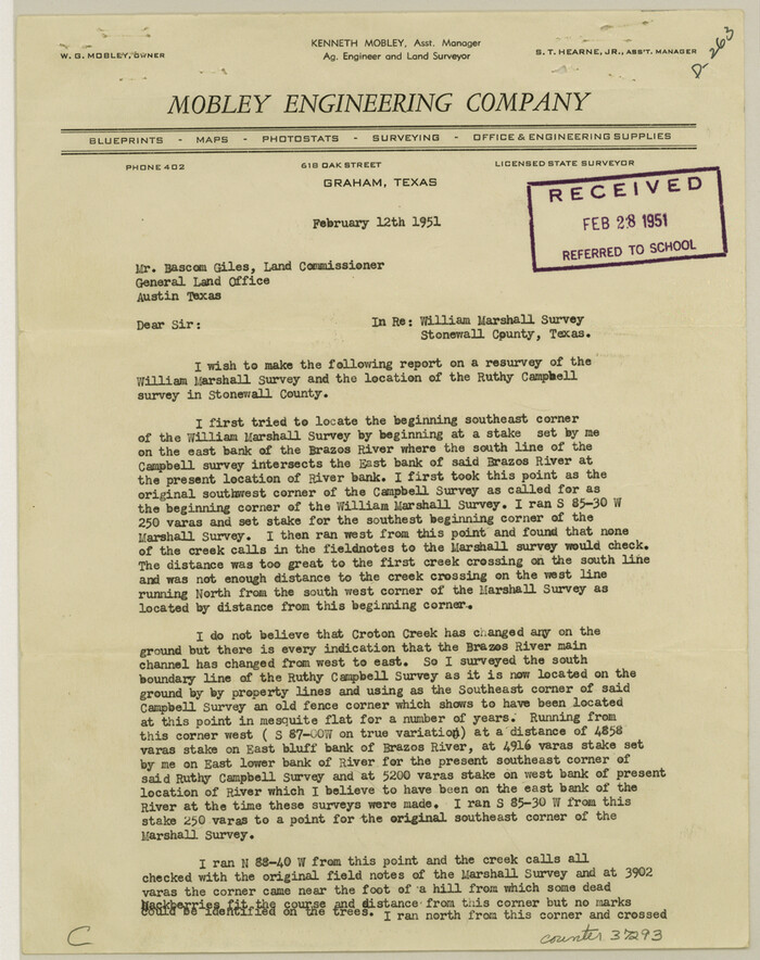

Print $6.00
- Digital $50.00
Stonewall County Sketch File 23
1951
Size 11.3 x 8.9 inches
Map/Doc 37293
Maps of Gulf Intracoastal Waterway, Texas - Sabine River to the Rio Grande and connecting waterways including ship channels
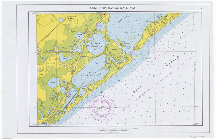

Print $20.00
- Digital $50.00
Maps of Gulf Intracoastal Waterway, Texas - Sabine River to the Rio Grande and connecting waterways including ship channels
1966
Size 14.5 x 22.4 inches
Map/Doc 61929
Castro County Rolled Sketch 14


Print $20.00
- Digital $50.00
Castro County Rolled Sketch 14
1965
Size 47.6 x 43.5 inches
Map/Doc 8608
Flight Mission No. BRE-1P, Frame 74, Nueces County


Print $20.00
- Digital $50.00
Flight Mission No. BRE-1P, Frame 74, Nueces County
1956
Size 18.5 x 22.3 inches
Map/Doc 86656
Hudspeth County Rolled Sketch 69

Print $20.00
- Digital $50.00
Hudspeth County Rolled Sketch 69
1973
Size 12.3 x 19.2 inches
Map/Doc 7718
Howard County Sketch File 13


Print $62.00
- Digital $50.00
Howard County Sketch File 13
1935
Size 15.0 x 13.3 inches
Map/Doc 26867
You may also like
T. & N. O. R.R. Jefferson Co. North


Print $20.00
- Digital $50.00
T. & N. O. R.R. Jefferson Co. North
1917
Size 13.5 x 33.2 inches
Map/Doc 64057
King County Working Sketch 12


Print $20.00
- Digital $50.00
King County Working Sketch 12
1975
Size 42.6 x 28.4 inches
Map/Doc 70176
Reagan County Rolled Sketch FF
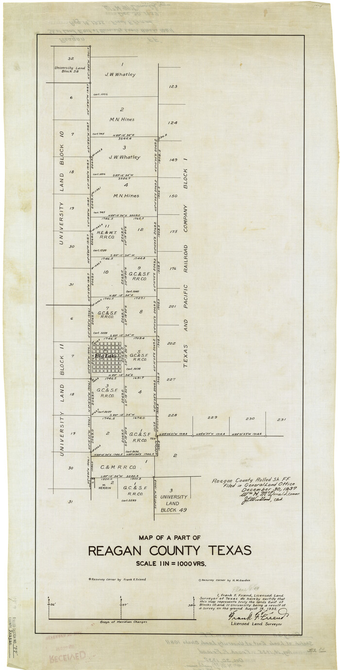

Print $20.00
- Digital $50.00
Reagan County Rolled Sketch FF
Size 35.0 x 17.8 inches
Map/Doc 7451
Wharton County Working Sketch 14


Print $20.00
- Digital $50.00
Wharton County Working Sketch 14
1961
Size 26.5 x 24.9 inches
Map/Doc 72478
Gaines County
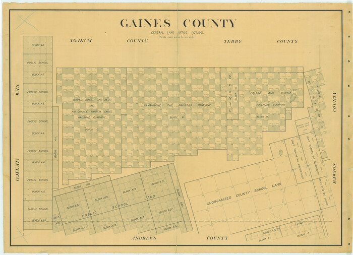

Print $40.00
- Digital $50.00
Gaines County
1901
Size 41.3 x 57.2 inches
Map/Doc 16833
Crosby County Sketch File 13 and 14

Print $44.00
- Digital $50.00
Crosby County Sketch File 13 and 14
1904
Size 9.0 x 8.6 inches
Map/Doc 20058
Reagan County Sketch File 30


Print $20.00
- Digital $50.00
Reagan County Sketch File 30
1951
Size 27.4 x 20.3 inches
Map/Doc 12226
Presidio County Working Sketch 48
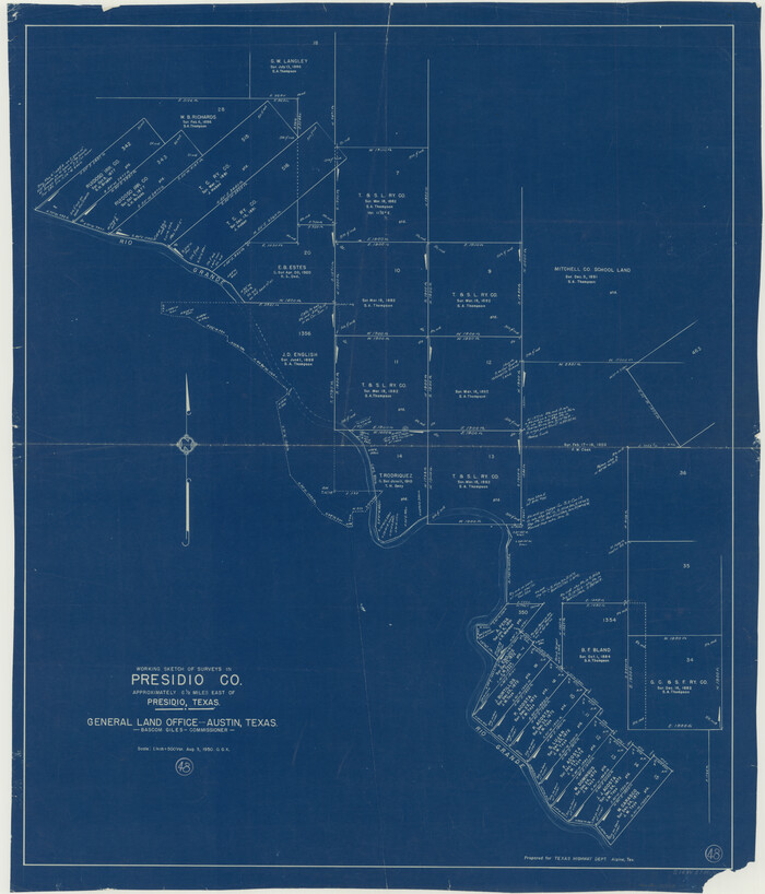

Print $20.00
- Digital $50.00
Presidio County Working Sketch 48
1950
Size 36.2 x 31.0 inches
Map/Doc 71725
Foard County Boundary File 2
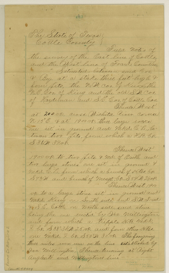

Print $20.00
- Digital $50.00
Foard County Boundary File 2
Size 14.3 x 8.8 inches
Map/Doc 53504
Calhoun County Rolled Sketch 22


Print $20.00
- Digital $50.00
Calhoun County Rolled Sketch 22
Size 35.0 x 37.0 inches
Map/Doc 8552
Hudspeth County Rolled Sketch 77


Print $20.00
- Digital $50.00
Hudspeth County Rolled Sketch 77
Size 25.2 x 38.0 inches
Map/Doc 6265
Terrell County
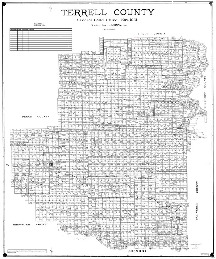

Print $40.00
- Digital $50.00
Terrell County
1931
Size 48.9 x 39.9 inches
Map/Doc 95651
![94196, New Mexico [Recto], General Map Collection](https://historictexasmaps.com/wmedia_w1800h1800/maps/94196.tif.jpg)
![94197, New Mexico [Verso], General Map Collection](https://historictexasmaps.com/wmedia_w700/maps/94197.tif.jpg)