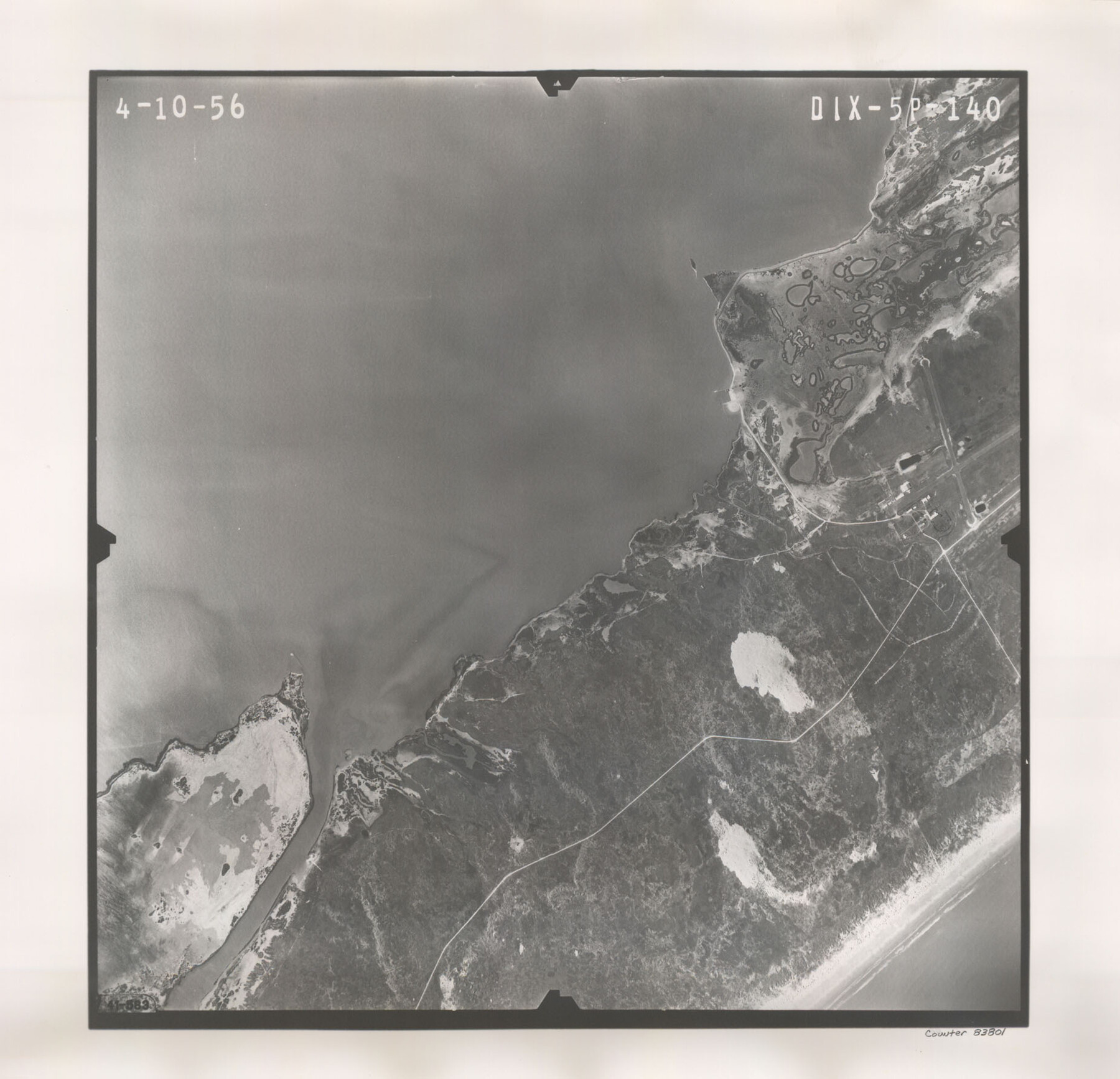
Flight Mission No. DIX-5P, Frame 140, Aransas County
DIX-5P-140
-
Map/Doc
83801
-
Collection
General Map Collection
-
Object Dates
1956/4/10 (Creation Date)
-
People and Organizations
U. S. Department of Agriculture (Publisher)
-
Counties
Aransas
-
Subjects
Aerial Photograph
-
Height x Width
17.8 x 18.5 inches
45.2 x 47.0 cm
-
Comments
Flown by V. L. Beavers and Associates of San Antonio, Texas.
Part of: General Map Collection
Loving County Sketch File 1

Print $4.00
- Digital $50.00
Loving County Sketch File 1
1931
Size 11.2 x 8.6 inches
Map/Doc 30407
Reeves County Rolled Sketch 6

Print $20.00
- Digital $50.00
Reeves County Rolled Sketch 6
Size 22.6 x 29.0 inches
Map/Doc 7478

Coleman County Sketch File 23

Print $6.00
- Digital $50.00
Coleman County Sketch File 23
1872
Size 10.1 x 15.7 inches
Map/Doc 18703
Moore County Sketch File 11

Print $20.00
- Digital $50.00
Moore County Sketch File 11
Size 18.2 x 31.3 inches
Map/Doc 42129
Gregg County Rolled Sketch FB

Print $84.00
- Digital $50.00
Gregg County Rolled Sketch FB
1932
Size 25.2 x 56.7 inches
Map/Doc 9326
Baylor County Sketch File 32

Print $10.00
- Digital $50.00
Baylor County Sketch File 32
Size 10.2 x 8.2 inches
Map/Doc 14238
Harris County Rolled Sketch O

Print $20.00
- Digital $50.00
Harris County Rolled Sketch O
Size 19.3 x 28.9 inches
Map/Doc 6141
Pecos County Working Sketch 48

Print $20.00
- Digital $50.00
Pecos County Working Sketch 48
1947
Size 35.0 x 27.7 inches
Map/Doc 71520
Brassos Santiago

Print $20.00
- Digital $50.00
Brassos Santiago
1853
Size 25.3 x 18.3 inches
Map/Doc 72913
Flight Mission No. DQN-1K, Frame 156, Calhoun County

Print $20.00
- Digital $50.00
Flight Mission No. DQN-1K, Frame 156, Calhoun County
1953
Size 18.6 x 22.3 inches
Map/Doc 84215
Engineer's Office, Department of the Gulf Map No. 59, Texas prepared by order of Maj. Gen. N. P. Banks under direction of Capt. P. C. Hains, U. S. Engr. & Chief Engr., Dept. of the Gulf

Print $20.00
- Digital $50.00
Engineer's Office, Department of the Gulf Map No. 59, Texas prepared by order of Maj. Gen. N. P. Banks under direction of Capt. P. C. Hains, U. S. Engr. & Chief Engr., Dept. of the Gulf
1865
Size 18.2 x 27.5 inches
Map/Doc 72718
You may also like
Throckmorton County Rolled Sketch 6A

Print $20.00
- Digital $50.00
Throckmorton County Rolled Sketch 6A
2004
Size 20.3 x 24.3 inches
Map/Doc 82489
Controlled Mosaic by Jack Amman Photogrammetric Engineers, Inc - Sheet 4

Print $20.00
- Digital $50.00
Controlled Mosaic by Jack Amman Photogrammetric Engineers, Inc - Sheet 4
1954
Size 20.0 x 24.0 inches
Map/Doc 83448
Refugio County Working Sketch 16

Print $20.00
- Digital $50.00
Refugio County Working Sketch 16
1965
Size 34.0 x 31.8 inches
Map/Doc 63525
Coleman County Sketch File 18

Print $12.00
- Digital $50.00
Coleman County Sketch File 18
1871
Size 8.2 x 6.6 inches
Map/Doc 18687
The Republic County of Montgomery. January 25, 1840

Print $20.00
The Republic County of Montgomery. January 25, 1840
2020
Size 19.9 x 21.7 inches
Map/Doc 96237
Llano County Sketch File 8

Print $10.00
- Digital $50.00
Llano County Sketch File 8
1885
Size 14.1 x 8.8 inches
Map/Doc 30364
Flight Mission No. DAG-23K, Frame 150, Matagorda County

Print $20.00
- Digital $50.00
Flight Mission No. DAG-23K, Frame 150, Matagorda County
1953
Size 18.6 x 22.4 inches
Map/Doc 86498
Panola County Sketch File 5

Print $4.00
- Digital $50.00
Panola County Sketch File 5
1860
Size 8.3 x 5.6 inches
Map/Doc 33453
Flight Mission No. DQO-8K, Frame 55, Galveston County

Print $20.00
- Digital $50.00
Flight Mission No. DQO-8K, Frame 55, Galveston County
1952
Size 18.7 x 22.5 inches
Map/Doc 85162
Current Miscellaneous File 17

Print $24.00
- Digital $50.00
Current Miscellaneous File 17
1951
Size 10.7 x 8.1 inches
Map/Doc 73838
Goliad County Sketch File 16

Print $40.00
- Digital $50.00
Goliad County Sketch File 16
Size 13.4 x 15.8 inches
Map/Doc 24247
No. 3 Chart of Channel connecting Corpus Christi Bay with Aransas Bay, Texas

Print $20.00
- Digital $50.00
No. 3 Chart of Channel connecting Corpus Christi Bay with Aransas Bay, Texas
1878
Size 18.4 x 28.0 inches
Map/Doc 72775