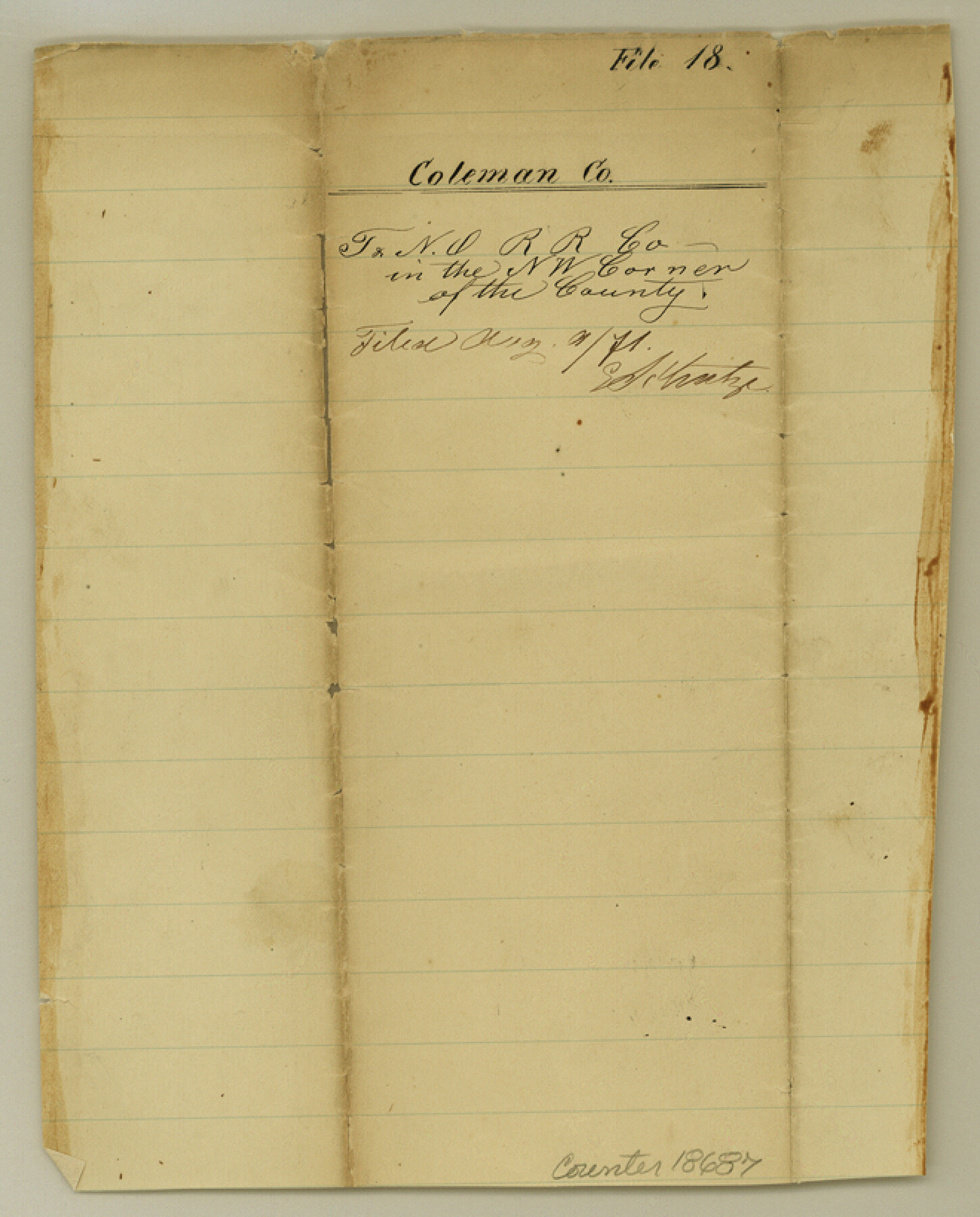
Coleman County Sketch File 18
[Sketch of T. & N. O. R.R. Co. surveys in northwest part of the county]
-
Map/Doc
18687
-
Collection
General Map Collection
-
Object Dates
1871/8/8 (Creation Date)
1871/8/9 (File Date)
-
People and Organizations
L.H. Luckett (Surveyor/Engineer)
-
Counties
Coleman
-
Subjects
Surveying Sketch File
-
Height x Width
8.2 x 6.6 inches
20.8 x 16.8 cm
-
Medium
paper, manuscript
-
Features
North Jim Ned Creek
South Jim Ned Creek
Rough Creek
Hands Creek
Part of: General Map Collection
[Map of Henderson County]
![76767, [Map of Henderson County], General Map Collection](https://historictexasmaps.com/wmedia_w700/maps/76767.tif.jpg)
Print $20.00
- Digital $50.00
[Map of Henderson County]
1854
Size 29.7 x 22.0 inches
Map/Doc 76767
Orange County Rolled Sketch 23

Print $20.00
- Digital $50.00
Orange County Rolled Sketch 23
1950
Size 29.0 x 35.3 inches
Map/Doc 7185
Jackson County Working Sketch 1

Print $20.00
- Digital $50.00
Jackson County Working Sketch 1
1911
Size 20.6 x 13.0 inches
Map/Doc 66449
Greer County Sketch File 12

Print $20.00
- Digital $50.00
Greer County Sketch File 12
Size 23.6 x 20.1 inches
Map/Doc 11585
Reeves County Working Sketch 19

Print $20.00
- Digital $50.00
Reeves County Working Sketch 19
1962
Size 42.3 x 42.7 inches
Map/Doc 63462
Clay County Sketch File 36

Print $3.00
- Digital $50.00
Clay County Sketch File 36
Size 17.0 x 11.0 inches
Map/Doc 18464
Stephens County Boundary File 3

Print $25.00
- Digital $50.00
Stephens County Boundary File 3
Size 14.2 x 8.8 inches
Map/Doc 58882
Travis County

Print $40.00
- Digital $50.00
Travis County
1880
Size 59.4 x 68.7 inches
Map/Doc 16903
Calhoun County NRC Article 33.136 Location Key Sheet

Print $20.00
- Digital $50.00
Calhoun County NRC Article 33.136 Location Key Sheet
1973
Size 27.0 x 22.0 inches
Map/Doc 77010
Culberson County Working Sketch 40

Print $40.00
- Digital $50.00
Culberson County Working Sketch 40
1966
Size 35.5 x 60.9 inches
Map/Doc 68493
San Patricio County Working Sketch 26

Print $20.00
- Digital $50.00
San Patricio County Working Sketch 26
1986
Size 29.0 x 34.4 inches
Map/Doc 63788
Angelina County Working Sketch 31

Print $20.00
- Digital $50.00
Angelina County Working Sketch 31
1955
Size 24.3 x 24.5 inches
Map/Doc 67113
You may also like
Controlled Mosaic by Jack Amman Photogrammetric Engineers, Inc - Sheet 33

Print $20.00
- Digital $50.00
Controlled Mosaic by Jack Amman Photogrammetric Engineers, Inc - Sheet 33
1954
Size 20.0 x 24.0 inches
Map/Doc 83486
Jasper County Working Sketch 9

Print $20.00
- Digital $50.00
Jasper County Working Sketch 9
1917
Size 21.0 x 14.3 inches
Map/Doc 66471
H No. 4 - Horn Island Pass, Mississippi Sound

Print $20.00
- Digital $50.00
H No. 4 - Horn Island Pass, Mississippi Sound
1852
Size 14.9 x 19.0 inches
Map/Doc 97225
Lipscomb County Boundary File 2

Print $6.00
- Digital $50.00
Lipscomb County Boundary File 2
Size 11.1 x 8.6 inches
Map/Doc 56315
Clay County Boundary File 12

Print $8.00
- Digital $50.00
Clay County Boundary File 12
Size 14.3 x 8.8 inches
Map/Doc 51406
Lavaca County Working Sketch 26

Print $20.00
- Digital $50.00
Lavaca County Working Sketch 26
1986
Size 25.0 x 28.1 inches
Map/Doc 70379
Brewster County Working Sketch 109

Print $20.00
- Digital $50.00
Brewster County Working Sketch 109
1981
Size 25.2 x 37.0 inches
Map/Doc 67709
Howard County Working Sketch 11

Print $20.00
- Digital $50.00
Howard County Working Sketch 11
1962
Size 20.5 x 20.3 inches
Map/Doc 66279
Lamb County Boundary File 1

Print $10.00
- Digital $50.00
Lamb County Boundary File 1
Size 11.1 x 8.5 inches
Map/Doc 56027
Reagan County Rolled Sketch 8

Print $20.00
- Digital $50.00
Reagan County Rolled Sketch 8
Size 30.2 x 26.7 inches
Map/Doc 7436
Flight Mission No. CRK-7P, Frame 132, Refugio County

Print $20.00
- Digital $50.00
Flight Mission No. CRK-7P, Frame 132, Refugio County
1956
Size 18.3 x 22.1 inches
Map/Doc 86955
Baylor County Working Sketch 4

Print $20.00
- Digital $50.00
Baylor County Working Sketch 4
1938
Size 30.4 x 21.0 inches
Map/Doc 67289