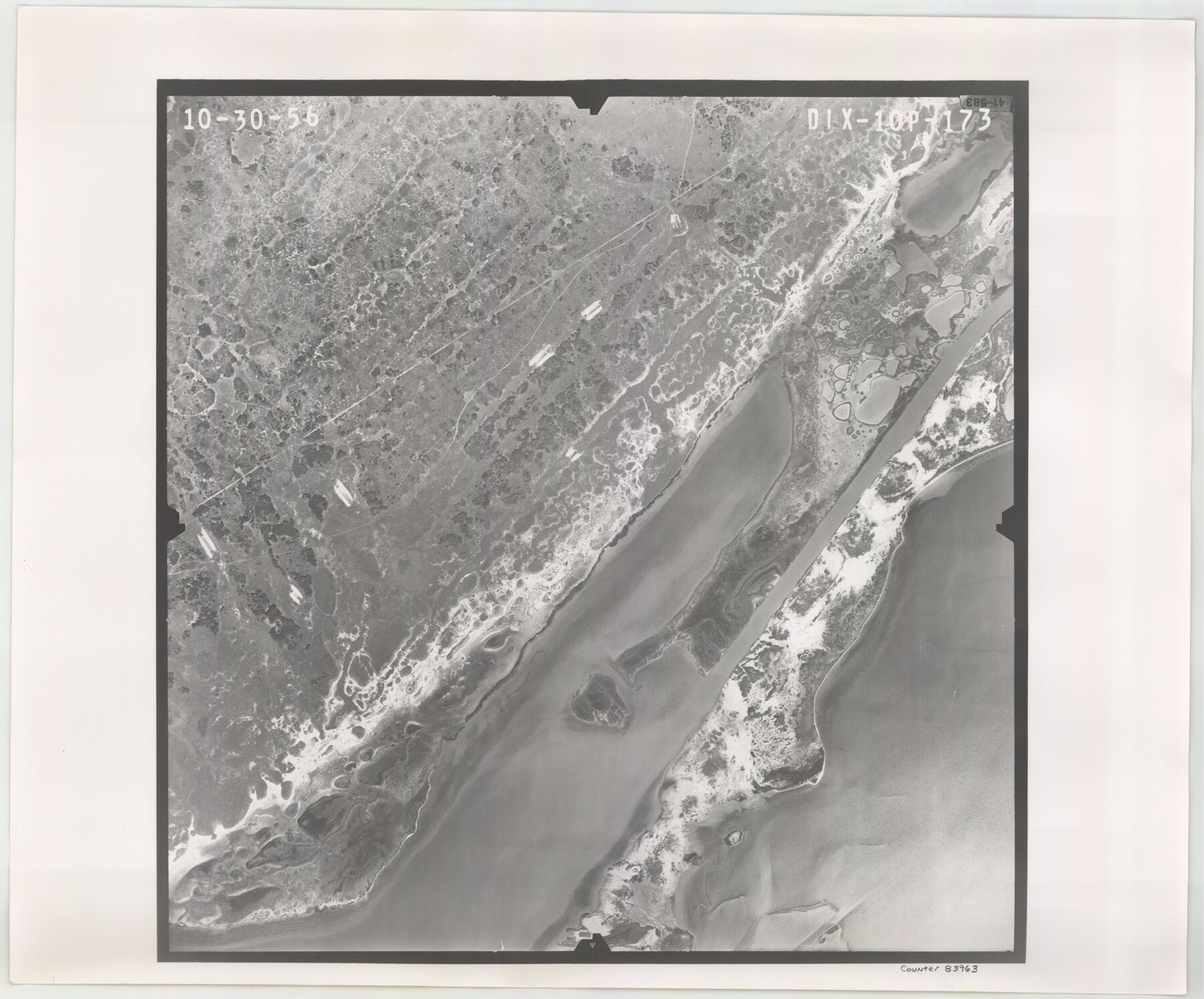
Flight Mission No. DIX-10P, Frame 173, Aransas County
DIX-10P-173
-
Map/Doc
83963
-
Collection
General Map Collection
-
Object Dates
1956/10/30 (Creation Date)
-
People and Organizations
U. S. Department of Agriculture (Publisher)
-
Counties
Aransas
-
Subjects
Aerial Photograph
-
Height x Width
18.5 x 22.3 inches
47.0 x 56.6 cm
-
Comments
Flown by V. L. Beavers and Associates of San Antonio, Texas.
Part of: General Map Collection
Flight Mission No. CRC-4R, Frame 93, Chambers County

Print $20.00
- Digital $50.00
Flight Mission No. CRC-4R, Frame 93, Chambers County
1956
Size 18.4 x 22.3 inches
Map/Doc 84890
[Plat No. 1, Connecting line from SW corner of Jones Co. to SE corner of Borden Co.]
![1698, [Plat No. 1, Connecting line from SW corner of Jones Co. to SE corner of Borden Co.], General Map Collection](https://historictexasmaps.com/wmedia_w700/maps/1698.tif.jpg)
Print $40.00
- Digital $50.00
[Plat No. 1, Connecting line from SW corner of Jones Co. to SE corner of Borden Co.]
1908
Size 18.1 x 128.8 inches
Map/Doc 1698

Culberson County Sketch File 31

Print $4.00
- Digital $50.00
Culberson County Sketch File 31
1951
Size 11.3 x 8.9 inches
Map/Doc 20283
McLennan County

Print $20.00
- Digital $50.00
McLennan County
1946
Size 43.8 x 46.9 inches
Map/Doc 95585
Henderson County Working Sketch 44

Print $20.00
- Digital $50.00
Henderson County Working Sketch 44
1998
Size 19.0 x 33.0 inches
Map/Doc 66177
Jefferson County Rolled Sketch 38

Print $20.00
- Digital $50.00
Jefferson County Rolled Sketch 38
1957
Size 33.8 x 31.5 inches
Map/Doc 6397
Somervell County Sketch File 3

Print $6.00
- Digital $50.00
Somervell County Sketch File 3
1858
Size 8.2 x 3.9 inches
Map/Doc 36797
Gray County Sketch File B1

Print $26.00
- Digital $50.00
Gray County Sketch File B1
1882
Size 8.9 x 8.6 inches
Map/Doc 24398
Hardin County Sketch File 61

Print $20.00
- Digital $50.00
Hardin County Sketch File 61
1933
Size 18.9 x 24.6 inches
Map/Doc 11636
Harrison County Working Sketch 21

Print $40.00
- Digital $50.00
Harrison County Working Sketch 21
1982
Size 37.6 x 49.9 inches
Map/Doc 66041
Calhoun County Rolled Sketch 22

Print $20.00
- Digital $50.00
Calhoun County Rolled Sketch 22
Size 35.0 x 37.0 inches
Map/Doc 8552
You may also like
Dallas County Working Sketch 13

Print $20.00
- Digital $50.00
Dallas County Working Sketch 13
1984
Size 27.9 x 32.6 inches
Map/Doc 68579
Texas City Channel, Texas, Channel and Turning Basin Dredging - Sheet 5

Print $20.00
- Digital $50.00
Texas City Channel, Texas, Channel and Turning Basin Dredging - Sheet 5
1958
Size 28.2 x 40.9 inches
Map/Doc 61835
Ellis County Sketch File 20

Print $19.00
- Digital $50.00
Ellis County Sketch File 20
1869
Size 12.8 x 8.2 inches
Map/Doc 21869
Sutton County Working Sketch 25

Print $40.00
- Digital $50.00
Sutton County Working Sketch 25
Size 69.4 x 37.1 inches
Map/Doc 62368
Terrell County Rolled Sketch 32

Print $20.00
- Digital $50.00
Terrell County Rolled Sketch 32
Size 20.6 x 25.4 inches
Map/Doc 7938
Angelina County Working Sketch 34

Print $20.00
- Digital $50.00
Angelina County Working Sketch 34
1956
Size 30.2 x 22.9 inches
Map/Doc 67117
United States Gulf Coast - from Galveston to the Rio Grande

Print $20.00
- Digital $50.00
United States Gulf Coast - from Galveston to the Rio Grande
1915
Size 26.3 x 18.3 inches
Map/Doc 72731
Flight Mission No. BRE-3P, Frame 80, Nueces County

Print $20.00
- Digital $50.00
Flight Mission No. BRE-3P, Frame 80, Nueces County
1956
Size 18.7 x 22.6 inches
Map/Doc 86821
[Portion of Block 178, Block C3 and Sections 48-65, Block 1, I. & G. N.]
![91648, [Portion of Block 178, Block C3 and Sections 48-65, Block 1, I. & G. N.], Twichell Survey Records](https://historictexasmaps.com/wmedia_w700/maps/91648-1.tif.jpg)
Print $2.00
- Digital $50.00
[Portion of Block 178, Block C3 and Sections 48-65, Block 1, I. & G. N.]
Size 9.1 x 14.7 inches
Map/Doc 91648
Caldwell County Working Sketch 8

Print $20.00
- Digital $50.00
Caldwell County Working Sketch 8
1964
Size 29.1 x 22.8 inches
Map/Doc 67838
Sutton County Working Sketch 58

Print $40.00
- Digital $50.00
Sutton County Working Sketch 58
1958
Size 57.3 x 37.5 inches
Map/Doc 62401
St. Louis Southwestern Railway of Texas

Print $20.00
- Digital $50.00
St. Louis Southwestern Railway of Texas
1906
Size 22.5 x 30.5 inches
Map/Doc 64449