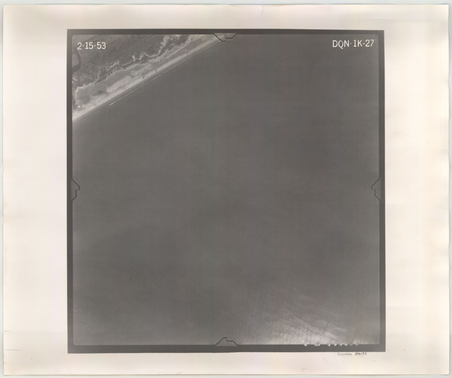
Flight Mission No. DQN-1K, Frame 27, Calhoun County
DQN-1K-27
-
Map/Doc
84132
-
Collection
General Map Collection
-
Object Dates
1953/2/15 (Creation Date)
-
People and Organizations
U. S. Department of Agriculture (Publisher)
-
Counties
Calhoun
-
Subjects
Aerial Photograph
-
Height x Width
18.5 x 22.1 inches
47.0 x 56.1 cm
-
Comments
Flown by Aero Exploration Company of Tulsa, Oklahoma.
Part of: General Map Collection
[F. W. & D. C. Ry. Co. Alignment and Right of Way Map, Clay County]
![64734, [F. W. & D. C. Ry. Co. Alignment and Right of Way Map, Clay County], General Map Collection](https://historictexasmaps.com/wmedia_w700/maps/64734-GC.tif.jpg)
Print $20.00
- Digital $50.00
[F. W. & D. C. Ry. Co. Alignment and Right of Way Map, Clay County]
1927
Size 18.6 x 11.8 inches
Map/Doc 64734

Morris County Rolled Sketch 2A

Print $3.00
- Digital $50.00
Morris County Rolled Sketch 2A
Size 12.1 x 10.5 inches
Map/Doc 10233
Jeff Davis County Sketch File 9

Print $40.00
- Digital $50.00
Jeff Davis County Sketch File 9
Size 15.1 x 17.6 inches
Map/Doc 27920
Dimmit County Working Sketch 1

Print $20.00
- Digital $50.00
Dimmit County Working Sketch 1
1906
Size 23.6 x 22.7 inches
Map/Doc 68662
Austin County Working Sketch 7

Print $40.00
- Digital $50.00
Austin County Working Sketch 7
1992
Size 30.9 x 48.8 inches
Map/Doc 67248
Jeff Davis County Boundary File 2

Print $14.00
- Digital $50.00
Jeff Davis County Boundary File 2
Size 14.3 x 8.8 inches
Map/Doc 55505
Field Notes of Surveys in Travis District (Callahan, Coleman, and Runnels Counties)

Field Notes of Surveys in Travis District (Callahan, Coleman, and Runnels Counties)
Map/Doc 81675
Cameron County Rolled Sketch 20D

Print $20.00
- Digital $50.00
Cameron County Rolled Sketch 20D
Size 13.7 x 12.1 inches
Map/Doc 5476
Flight Mission No. BRA-16M, Frame 167, Jefferson County

Print $20.00
- Digital $50.00
Flight Mission No. BRA-16M, Frame 167, Jefferson County
1953
Size 18.5 x 22.3 inches
Map/Doc 85765
Val Verde County Rolled Sketch 48

Print $20.00
- Digital $50.00
Val Verde County Rolled Sketch 48
Size 30.9 x 27.1 inches
Map/Doc 8119
Blanco County Rolled Sketch 23

Print $20.00
- Digital $50.00
Blanco County Rolled Sketch 23
2019
Size 24.1 x 35.7 inches
Map/Doc 97346
You may also like
Fort Bend County Sketch File 33

Print $20.00
- Digital $50.00
Fort Bend County Sketch File 33
1889
Size 23.6 x 24.5 inches
Map/Doc 11513
Reagan County Sketch File 25

Print $20.00
- Digital $50.00
Reagan County Sketch File 25
1941
Size 18.1 x 23.9 inches
Map/Doc 12222
Zavala County Sketch File 15

Print $20.00
- Digital $50.00
Zavala County Sketch File 15
Size 23.3 x 22.3 inches
Map/Doc 12729
Jasper County

Print $20.00
- Digital $50.00
Jasper County
1946
Size 46.8 x 41.0 inches
Map/Doc 77325
Rains County Boundary File 71

Print $6.00
- Digital $50.00
Rains County Boundary File 71
Size 8.7 x 3.5 inches
Map/Doc 58094
Brooks County Rolled Sketch 29

Print $20.00
- Digital $50.00
Brooks County Rolled Sketch 29
1947
Size 31.3 x 22.9 inches
Map/Doc 5347
El Paso County Sketch File 6

Print $24.00
- Digital $50.00
El Paso County Sketch File 6
Size 13.4 x 8.8 inches
Map/Doc 21958
Real County Working Sketch 66

Print $20.00
- Digital $50.00
Real County Working Sketch 66
1970
Size 35.5 x 29.4 inches
Map/Doc 71958
Minutes of the Ayuntamiento of San Felipe de Austin Vol. 3

Minutes of the Ayuntamiento of San Felipe de Austin Vol. 3
Size 13.1 x 10.3 inches
Map/Doc 94262
Ector County Working Sketch 33

Print $20.00
- Digital $50.00
Ector County Working Sketch 33
1982
Size 24.7 x 29.0 inches
Map/Doc 68876
Cameron County Rolled Sketch 17

Print $40.00
- Digital $50.00
Cameron County Rolled Sketch 17
1937
Size 49.1 x 37.9 inches
Map/Doc 8570
Hunt County Sketch File 20

Print $4.00
- Digital $50.00
Hunt County Sketch File 20
1853
Size 8.3 x 7.9 inches
Map/Doc 27120