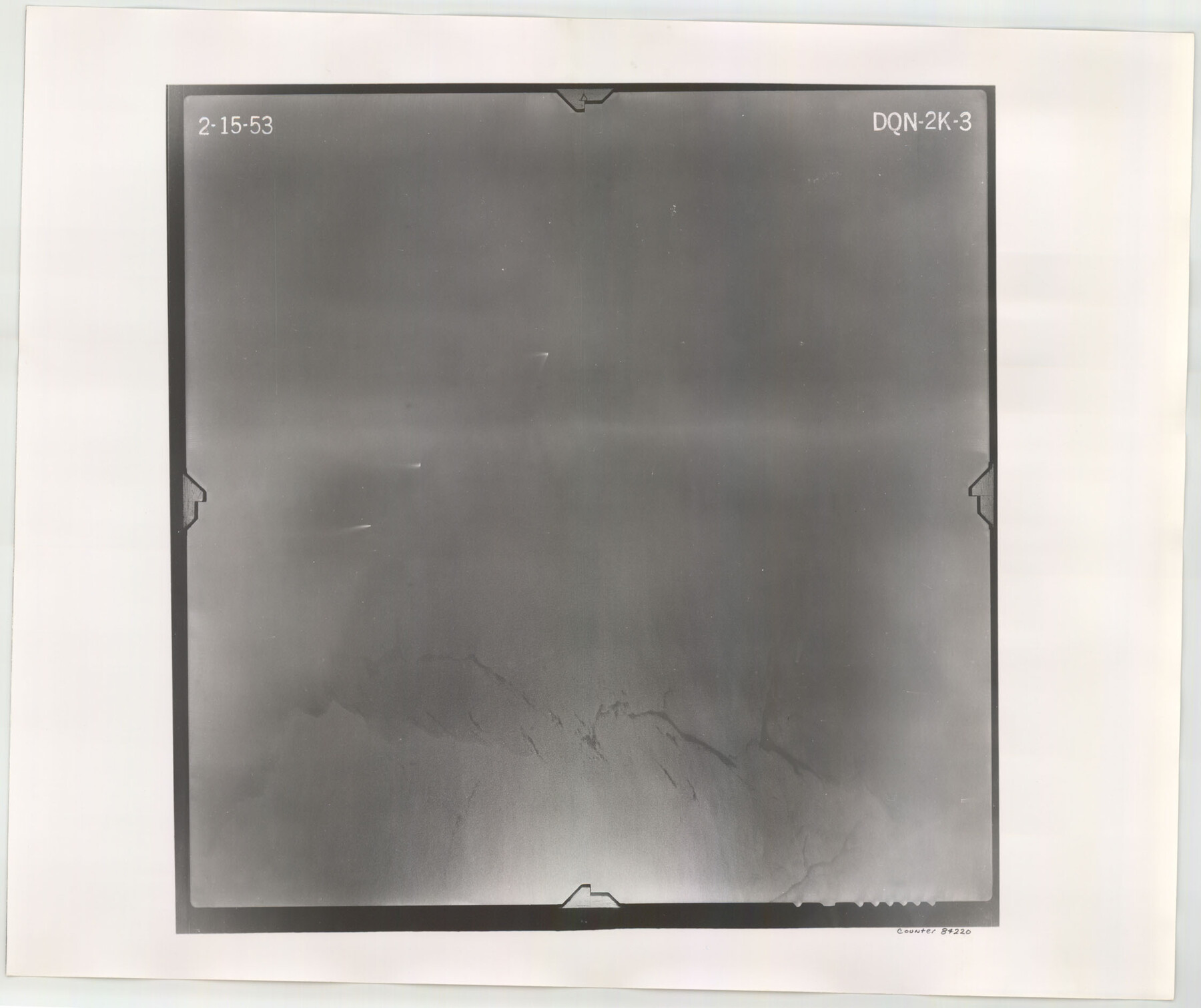
Flight Mission No. DQN-2K, Frame 3, Calhoun County
DQN-2K-3
-
Map/Doc
84220
-
Collection
General Map Collection
-
Object Dates
1953/2/15 (Creation Date)
-
People and Organizations
U. S. Department of Agriculture (Publisher)
-
Counties
Calhoun
-
Subjects
Aerial Photograph
-
Height x Width
18.8 x 22.4 inches
47.8 x 56.9 cm
-
Comments
Flown by Aero Exploration Company of Tulsa, Oklahoma.
Part of: General Map Collection
Maverick County Working Sketch 1

Print $20.00
- Digital $50.00
Maverick County Working Sketch 1
1906
Size 11.5 x 11.1 inches
Map/Doc 70893
Flight Mission No. CUG-1P, Frame 105, Kleberg County

Print $20.00
- Digital $50.00
Flight Mission No. CUG-1P, Frame 105, Kleberg County
1956
Size 18.5 x 22.3 inches
Map/Doc 86155
Kendall County Sketch File 20

Print $42.00
- Digital $50.00
Kendall County Sketch File 20
1916
Size 9.7 x 6.3 inches
Map/Doc 28713
Mills County Working Sketch 20

Print $20.00
- Digital $50.00
Mills County Working Sketch 20
1970
Size 43.1 x 43.4 inches
Map/Doc 71050
San Saba County Working Sketch 1

Print $20.00
- Digital $50.00
San Saba County Working Sketch 1
1919
Size 15.3 x 15.3 inches
Map/Doc 63789
Right of Way and Track Map Texas & New Orleans R.R. Co. operated by the T. & N. O. R.R. Co. Dallas-Sabine Branch

Print $40.00
- Digital $50.00
Right of Way and Track Map Texas & New Orleans R.R. Co. operated by the T. & N. O. R.R. Co. Dallas-Sabine Branch
1918
Size 26.4 x 56.7 inches
Map/Doc 64157
Flight Mission No. BRA-6M, Frame 80, Jefferson County

Print $20.00
- Digital $50.00
Flight Mission No. BRA-6M, Frame 80, Jefferson County
1953
Size 18.6 x 22.3 inches
Map/Doc 85424

Reeves County Working Sketch 28

Print $20.00
- Digital $50.00
Reeves County Working Sketch 28
1968
Size 34.4 x 42.1 inches
Map/Doc 63471
Brazos River, Brazos River Sheet 1

Print $4.00
- Digital $50.00
Brazos River, Brazos River Sheet 1
1926
Size 21.5 x 25.4 inches
Map/Doc 65293
Foard County Sketch File 25

Print $8.00
- Digital $50.00
Foard County Sketch File 25
1885
Size 12.9 x 8.5 inches
Map/Doc 22852
Intracoastal Waterway - Galveston Bay to West Bay including Galveston Bay Entrance

Print $20.00
- Digital $50.00
Intracoastal Waterway - Galveston Bay to West Bay including Galveston Bay Entrance
1957
Size 27.2 x 38.6 inches
Map/Doc 69932
You may also like
Kleberg County Rolled Sketch 10-15

Print $20.00
- Digital $50.00
Kleberg County Rolled Sketch 10-15
1951
Size 37.4 x 33.1 inches
Map/Doc 9367
Rains County Sketch File 8

Print $4.00
- Digital $50.00
Rains County Sketch File 8
1872
Size 7.6 x 8.1 inches
Map/Doc 34958
Houston County

Print $40.00
- Digital $50.00
Houston County
1944
Size 50.3 x 50.3 inches
Map/Doc 73184
[Surveys in Power and Hewetson's Colony along the San Antonio and Guadalupe Rivers]
![23, [Surveys in Power and Hewetson's Colony along the San Antonio and Guadalupe Rivers], General Map Collection](https://historictexasmaps.com/wmedia_w700/maps/23.tif.jpg)
Print $20.00
- Digital $50.00
[Surveys in Power and Hewetson's Colony along the San Antonio and Guadalupe Rivers]
1837
Size 14.9 x 16.5 inches
Map/Doc 23
Crosby County Sketch File 23

Print $20.00
- Digital $50.00
Crosby County Sketch File 23
1913
Size 15.0 x 27.2 inches
Map/Doc 11254
Map of the Missouri Pacific and St. Louis, Iron Mountain and Southern Railways and Connections

Print $20.00
- Digital $50.00
Map of the Missouri Pacific and St. Louis, Iron Mountain and Southern Railways and Connections
1893
Size 17.7 x 31.6 inches
Map/Doc 95789
Montgomery County Rolled Sketch 37

Print $40.00
- Digital $50.00
Montgomery County Rolled Sketch 37
Size 44.3 x 52.7 inches
Map/Doc 9544
DeWitt County Boundary File 1

Print $74.00
- Digital $50.00
DeWitt County Boundary File 1
Size 23.4 x 14.9 inches
Map/Doc 52479
Map of Comanche Co.

Print $20.00
- Digital $50.00
Map of Comanche Co.
1896
Size 41.5 x 44.9 inches
Map/Doc 4918
Jasper County Working Sketch 12

Print $40.00
- Digital $50.00
Jasper County Working Sketch 12
1920
Size 50.6 x 38.3 inches
Map/Doc 66474
Coke County Sketch File 24

Print $6.00
- Digital $50.00
Coke County Sketch File 24
1927
Size 11.1 x 8.8 inches
Map/Doc 18615
San Augustine County Working Sketch 23

Print $20.00
- Digital $50.00
San Augustine County Working Sketch 23
1974
Size 23.6 x 36.4 inches
Map/Doc 63711