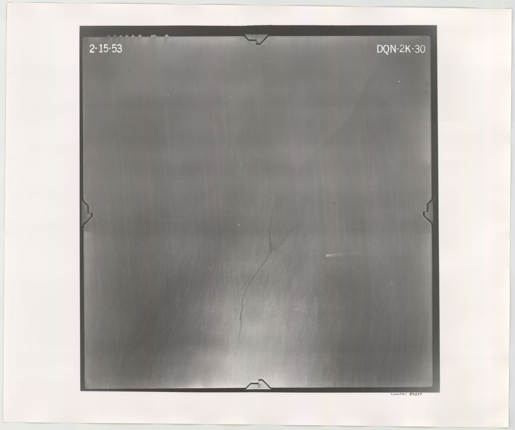
Flight Mission No. DQN-2K, Frame 30, Calhoun County
DQN-2K-30
-
Map/Doc
84237
-
Collection
General Map Collection
-
Object Dates
1953/2/15 (Creation Date)
-
People and Organizations
U. S. Department of Agriculture (Publisher)
-
Counties
Calhoun
-
Subjects
Aerial Photograph
-
Height x Width
18.5 x 22.2 inches
47.0 x 56.4 cm
-
Comments
Flown by Aero Exploration Company of Tulsa, Oklahoma.
Part of: General Map Collection
Yoakum County Sketch File 19

Print $18.00
- Digital $50.00
Yoakum County Sketch File 19
1898
Size 11.5 x 8.8 inches
Map/Doc 40832
Tyler County Sketch File 22

Print $4.00
- Digital $50.00
Tyler County Sketch File 22
Size 8.5 x 9.3 inches
Map/Doc 38679
Index Map No. 1 - Rio Bravo del Norte section of boundary between the United States & Mexico; agreed upon by the Joint Commission under the Treaty of Guadalupe Hidalgo

Print $20.00
- Digital $50.00
Index Map No. 1 - Rio Bravo del Norte section of boundary between the United States & Mexico; agreed upon by the Joint Commission under the Treaty of Guadalupe Hidalgo
1852
Size 18.5 x 27.4 inches
Map/Doc 72859
Flight Mission No. CGI-3N, Frame 170, Cameron County

Print $20.00
- Digital $50.00
Flight Mission No. CGI-3N, Frame 170, Cameron County
1954
Size 18.6 x 22.3 inches
Map/Doc 84634
Trinity River, South Extension Porters Bluff Sheet

Print $20.00
- Digital $50.00
Trinity River, South Extension Porters Bluff Sheet
1925
Size 16.3 x 24.4 inches
Map/Doc 69690
Floyd County Sketch File 17

Print $12.00
- Digital $50.00
Floyd County Sketch File 17
1913
Size 8.3 x 5.4 inches
Map/Doc 22747
Burnet County Sketch File 41

Print $8.00
- Digital $50.00
Burnet County Sketch File 41
1950
Size 11.8 x 8.6 inches
Map/Doc 16757
United States including territories and insular possessions showing the extent of public surveys, national parks, national forests, indian reservations, national wildlife refuges, and reclamation projects

Print $40.00
- Digital $50.00
United States including territories and insular possessions showing the extent of public surveys, national parks, national forests, indian reservations, national wildlife refuges, and reclamation projects
1953
Size 64.3 x 44.5 inches
Map/Doc 65796
Sutton County Sketch File 14

Print $20.00
- Digital $50.00
Sutton County Sketch File 14
1924
Size 17.8 x 20.0 inches
Map/Doc 12380

Culberson County Working Sketch 71

Print $40.00
- Digital $50.00
Culberson County Working Sketch 71
1975
Size 48.4 x 32.9 inches
Map/Doc 68525
[Galveston, Harrisburg & San Antonio Railroad from Cuero to Stockdale]
![64197, [Galveston, Harrisburg & San Antonio Railroad from Cuero to Stockdale], General Map Collection](https://historictexasmaps.com/wmedia_w700/maps/64197.tif.jpg)
Print $20.00
- Digital $50.00
[Galveston, Harrisburg & San Antonio Railroad from Cuero to Stockdale]
1907
Size 13.9 x 34.1 inches
Map/Doc 64197
You may also like
Ellwood Farms Situated in Hockley, Lamb, and Hale Counties, Texas

Print $20.00
- Digital $50.00
Ellwood Farms Situated in Hockley, Lamb, and Hale Counties, Texas
Size 21.5 x 32.7 inches
Map/Doc 92227
Levee Improvement Districts Widths of Floodways - Sulphur River and Cuthand Creek

Print $20.00
- Digital $50.00
Levee Improvement Districts Widths of Floodways - Sulphur River and Cuthand Creek
1924
Size 15.4 x 38.6 inches
Map/Doc 65155
Flight Mission No. BRE-2G, Frame 118, Nueces County

Print $20.00
- Digital $50.00
Flight Mission No. BRE-2G, Frame 118, Nueces County
1950
Size 18.4 x 18.2 inches
Map/Doc 86623
Red River County Sketch File 24

Print $6.00
- Digital $50.00
Red River County Sketch File 24
1920
Size 11.4 x 8.8 inches
Map/Doc 35158
Map of Kinney County, Texas

Print $20.00
Map of Kinney County, Texas
1884
Size 25.4 x 35.2 inches
Map/Doc 88966

The Sunshine Special - Quickest of 'em all - Hosuton to St. Louis leaves Houston 12:45 p.m. San Antonio 9 a.m.

Print $20.00
- Digital $50.00
The Sunshine Special - Quickest of 'em all - Hosuton to St. Louis leaves Houston 12:45 p.m. San Antonio 9 a.m.
1925
Size 9.0 x 7.7 inches
Map/Doc 95780
Val Verde County Rolled Sketch 3X

Print $20.00
- Digital $50.00
Val Verde County Rolled Sketch 3X
Size 27.9 x 30.9 inches
Map/Doc 8107
Schleicher County Sketch File 36

Print $20.00
- Digital $50.00
Schleicher County Sketch File 36
1951
Size 15.2 x 21.7 inches
Map/Doc 12309
Val Verde County Sketch File 51

Print $10.00
- Digital $50.00
Val Verde County Sketch File 51
1959
Size 9.8 x 8.7 inches
Map/Doc 39320
Mitchell County Sketch File 12

Print $20.00
- Digital $50.00
Mitchell County Sketch File 12
1912
Size 25.6 x 14.0 inches
Map/Doc 12099
Flight Mission No. CRC-2R, Frame 179, Chambers County

Print $20.00
- Digital $50.00
Flight Mission No. CRC-2R, Frame 179, Chambers County
1956
Size 18.6 x 22.3 inches
Map/Doc 84757