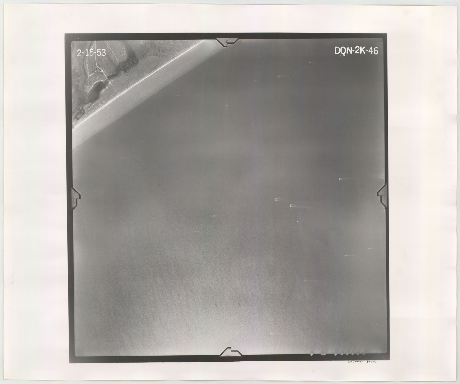
Flight Mission No. DQN-2K, Frame 46, Calhoun County
DQN-2K-46
-
Map/Doc
84251
-
Collection
General Map Collection
-
Object Dates
1953/2/15 (Creation Date)
-
People and Organizations
U. S. Department of Agriculture (Publisher)
-
Counties
Calhoun
-
Subjects
Aerial Photograph
-
Height x Width
18.5 x 22.1 inches
47.0 x 56.1 cm
-
Comments
Flown by Aero Exploration Company of Tulsa, Oklahoma.
Part of: General Map Collection
Edwards County Sketch File 40

Print $20.00
- Digital $50.00
Edwards County Sketch File 40
1940
Size 20.4 x 14.3 inches
Map/Doc 11438
Map of Velasco

Print $20.00
- Digital $50.00
Map of Velasco
1906
Size 32.1 x 39.4 inches
Map/Doc 95357
Galveston to Rio Grande

Print $20.00
- Digital $50.00
Galveston to Rio Grande
1939
Size 43.3 x 36.3 inches
Map/Doc 69951
La Salle County Working Sketch 25

Print $20.00
- Digital $50.00
La Salle County Working Sketch 25
1947
Size 32.8 x 41.0 inches
Map/Doc 70326
Amistad International Reservoir on Rio Grande 87

Print $20.00
- Digital $50.00
Amistad International Reservoir on Rio Grande 87
1949
Size 28.4 x 40.1 inches
Map/Doc 75516
San Jacinto River, Proposed Dam Site/Huntsville State Park

Print $6.00
- Digital $50.00
San Jacinto River, Proposed Dam Site/Huntsville State Park
1937
Size 30.2 x 26.6 inches
Map/Doc 65151

Lampasas County Working Sketch 19

Print $40.00
- Digital $50.00
Lampasas County Working Sketch 19
1979
Size 43.8 x 48.3 inches
Map/Doc 70296
Dickens County Working Sketch 10

Print $40.00
- Digital $50.00
Dickens County Working Sketch 10
1965
Size 62.2 x 39.5 inches
Map/Doc 68658
Flight Mission No. CGI-3N, Frame 102, Cameron County

Print $20.00
- Digital $50.00
Flight Mission No. CGI-3N, Frame 102, Cameron County
1954
Size 18.6 x 22.2 inches
Map/Doc 84582
Henderson County Working Sketch 10

Print $20.00
- Digital $50.00
Henderson County Working Sketch 10
1925
Size 29.7 x 18.8 inches
Map/Doc 66143
Flight Mission No. CLL-1N, Frame 17, Willacy County

Print $20.00
- Digital $50.00
Flight Mission No. CLL-1N, Frame 17, Willacy County
1954
Size 18.5 x 22.1 inches
Map/Doc 87004
You may also like
Ector County Working Sketch 15

Print $20.00
- Digital $50.00
Ector County Working Sketch 15
1956
Size 44.7 x 39.6 inches
Map/Doc 68858
Galveston County Sketch File 9

Print $6.00
- Digital $50.00
Galveston County Sketch File 9
1866
Size 10.1 x 8.1 inches
Map/Doc 23369
Andrews County Rolled Sketch 6

Print $40.00
- Digital $50.00
Andrews County Rolled Sketch 6
1928
Size 43.9 x 56.9 inches
Map/Doc 8363
Kimble County Working Sketch 28

Print $20.00
- Digital $50.00
Kimble County Working Sketch 28
1938
Size 29.4 x 23.2 inches
Map/Doc 70096
Hockley County Boundary File 6

Print $446.00
- Digital $50.00
Hockley County Boundary File 6
Size 3.1 x 5.1 inches
Map/Doc 54832
Edwards County Sketch File 10

Print $40.00
- Digital $50.00
Edwards County Sketch File 10
Size 26.3 x 19.0 inches
Map/Doc 11421
Wharton County Boundary File 1

Print $24.00
- Digital $50.00
Wharton County Boundary File 1
Size 14.2 x 8.9 inches
Map/Doc 59839
Harris County Working Sketch 62

Print $20.00
- Digital $50.00
Harris County Working Sketch 62
1954
Size 41.1 x 37.4 inches
Map/Doc 65954
Southern Part of Laguna Madre

Print $20.00
- Digital $50.00
Southern Part of Laguna Madre
1969
Size 44.4 x 35.4 inches
Map/Doc 73541
United States Population Distribution by County and Territory, per the U.S. Census of 1880

United States Population Distribution by County and Territory, per the U.S. Census of 1880
2024
Size 8.5 x 11.0 inches
Map/Doc 97284
La Salle County Boundary File 57

Print $26.00
- Digital $50.00
La Salle County Boundary File 57
Size 9.2 x 4.7 inches
Map/Doc 56242
Presidio County Working Sketch 136

Print $20.00
- Digital $50.00
Presidio County Working Sketch 136
1990
Size 33.7 x 46.8 inches
Map/Doc 71814