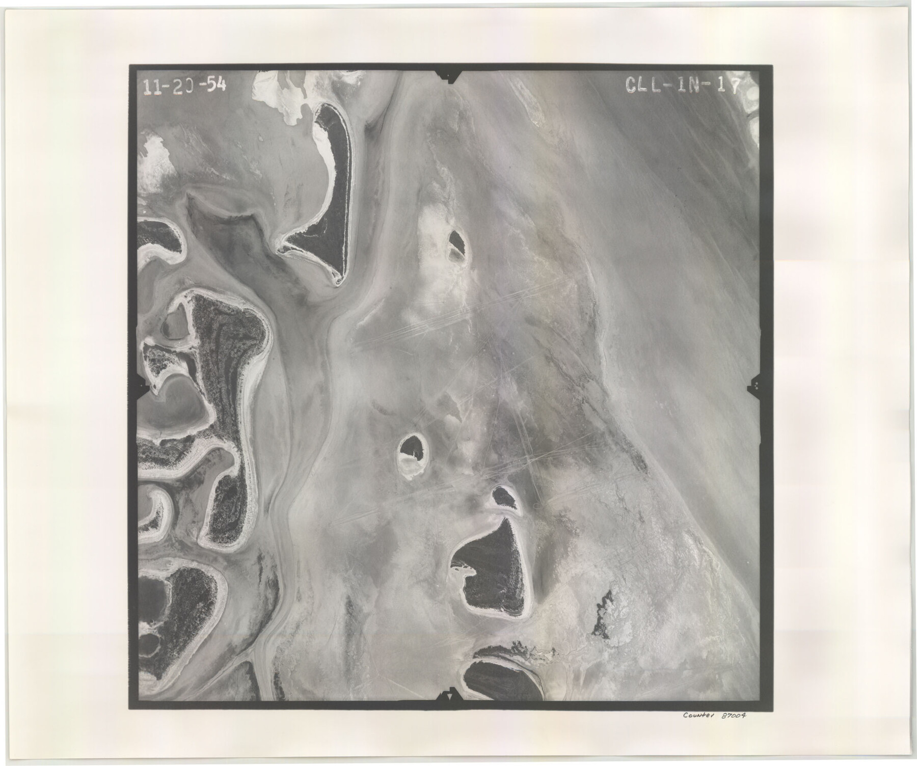
Flight Mission No. CLL-1N, Frame 17, Willacy County
CLL-1N-17
-
Map/Doc
87004
-
Collection
General Map Collection
-
Object Dates
1954/11/20 (Creation Date)
-
People and Organizations
U. S. Department of Agriculture (Publisher)
-
Counties
Willacy
-
Subjects
Aerial Photograph
-
Height x Width
18.5 x 22.1 inches
47.0 x 56.1 cm
-
Comments
Flown by Puckett Aerial Surveys, Inc. of Jackson, Mississippi.
Part of: General Map Collection
No. IX - Outline map of the vicinity of Corpus Christi

Print $20.00
- Digital $50.00
No. IX - Outline map of the vicinity of Corpus Christi
Size 24.8 x 18.3 inches
Map/Doc 72967
Kinney County Sketch File 23

Print $40.00
- Digital $50.00
Kinney County Sketch File 23
1901
Size 17.6 x 15.3 inches
Map/Doc 29162
Bandera County Working Sketch 23

Print $20.00
- Digital $50.00
Bandera County Working Sketch 23
1950
Size 35.8 x 29.6 inches
Map/Doc 67619
Donley County Working Sketch 4

Print $20.00
- Digital $50.00
Donley County Working Sketch 4
1958
Size 44.0 x 39.8 inches
Map/Doc 68737
Hardin County Rolled Sketch 7

Print $20.00
- Digital $50.00
Hardin County Rolled Sketch 7
1947
Size 33.4 x 42.4 inches
Map/Doc 6080
Reagan County Working Sketch 36

Print $20.00
- Digital $50.00
Reagan County Working Sketch 36
1966
Size 29.6 x 20.6 inches
Map/Doc 71878
Flight Mission No. DAG-28K, Frame 30, Matagorda County

Print $20.00
- Digital $50.00
Flight Mission No. DAG-28K, Frame 30, Matagorda County
1953
Size 16.1 x 16.1 inches
Map/Doc 86598

Johnson's New Map of the State of Texas

Print $20.00
- Digital $50.00
Johnson's New Map of the State of Texas
1859
Size 18.6 x 26.8 inches
Map/Doc 89254
Eastland County Working Sketch 63

Print $20.00
- Digital $50.00
Eastland County Working Sketch 63
1997
Size 36.7 x 37.6 inches
Map/Doc 68844
Harris County Sketch File 52

Print $20.00
- Digital $50.00
Harris County Sketch File 52
1914
Size 21.7 x 26.0 inches
Map/Doc 11653
Archer County Working Sketch 25

Print $20.00
- Digital $50.00
Archer County Working Sketch 25
Size 24.9 x 33.1 inches
Map/Doc 78188
You may also like
Eastland County Rolled Sketch 3

Print $20.00
- Digital $50.00
Eastland County Rolled Sketch 3
1893
Size 24.4 x 41.3 inches
Map/Doc 5773
Wood County Working Sketch 20

Print $40.00
- Digital $50.00
Wood County Working Sketch 20
1985
Size 42.6 x 48.6 inches
Map/Doc 62020
Crane County, Texas

Print $20.00
- Digital $50.00
Crane County, Texas
1889
Size 22.5 x 18.0 inches
Map/Doc 721
Terry County Boundary File 4a

Print $70.00
- Digital $50.00
Terry County Boundary File 4a
Size 11.4 x 8.8 inches
Map/Doc 59249
Galveston County NRC Article 33.136 Sketch 41

Print $28.00
- Digital $50.00
Galveston County NRC Article 33.136 Sketch 41
2006
Size 29.8 x 42.4 inches
Map/Doc 83074
Liberty County Sketch File 21

Print $5.00
- Digital $50.00
Liberty County Sketch File 21
1858
Size 7.9 x 13.0 inches
Map/Doc 29928
Map of the City of San Antonio, Bexar County, Texas including suburbs, north and south

Print $20.00
- Digital $50.00
Map of the City of San Antonio, Bexar County, Texas including suburbs, north and south
Size 39.6 x 26.6 inches
Map/Doc 96511
The Judicial District/Counties, Late Spring 1842

Print $20.00
The Judicial District/Counties, Late Spring 1842
2020
Size 24.5 x 21.7 inches
Map/Doc 96356

Military Map of Western Texas

Print $20.00
Military Map of Western Texas
1884
Size 24.1 x 38.2 inches
Map/Doc 76315
Padre Island National Seashore, Texas - Dependent Resurvey

Print $4.00
- Digital $50.00
Padre Island National Seashore, Texas - Dependent Resurvey
2001
Size 18.4 x 24.0 inches
Map/Doc 60549
[Surveys near Onion Creek]
![108, [Surveys near Onion Creek], General Map Collection](https://historictexasmaps.com/wmedia_w700/maps/108-1.tif.jpg)
Print $2.00
- Digital $50.00
[Surveys near Onion Creek]
1841
Size 11.0 x 7.8 inches
Map/Doc 108