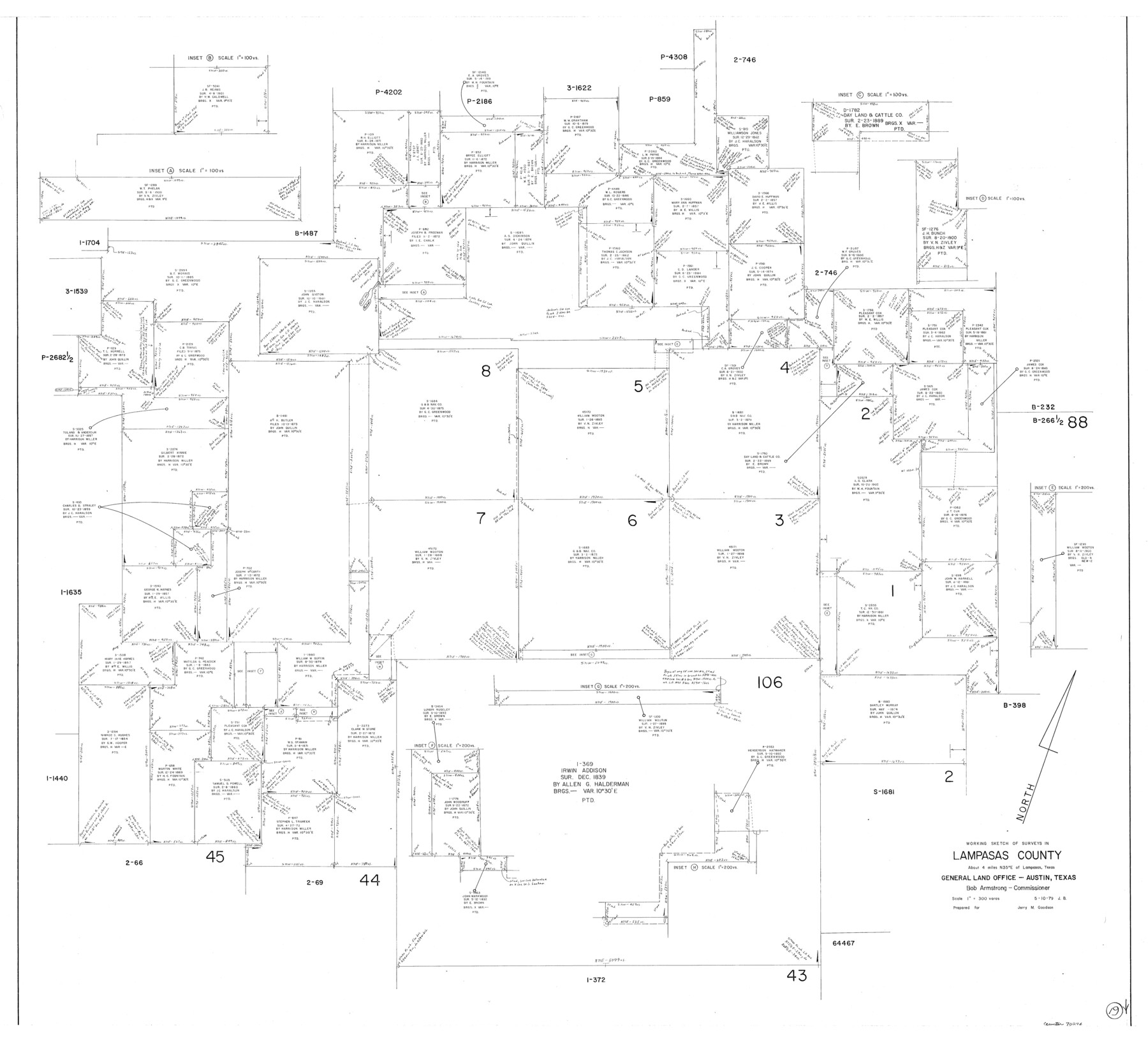
Lampasas County Working Sketch 19
-
Map/Doc
70296
-
Collection
General Map Collection
-
Object Dates
5/10/1979 (Creation Date)
-
People and Organizations
Jana Brod (Draftsman)
-
Counties
Lampasas
-
Subjects
Surveying Working Sketch
-
Height x Width
43.8 x 48.3 inches
111.3 x 122.7 cm
-
Scale
1" = 300 varas
Part of: General Map Collection
Rio Grande, Weslaco Sheet

Print $20.00
- Digital $50.00
Rio Grande, Weslaco Sheet
1937
Size 37.3 x 37.1 inches
Map/Doc 65125
Flight Mission No. CRE-1R, Frame 124, Jackson County

Print $20.00
- Digital $50.00
Flight Mission No. CRE-1R, Frame 124, Jackson County
1956
Size 16.1 x 15.9 inches
Map/Doc 85335
Wharton County Sketch File 26

Print $4.00
- Digital $50.00
Wharton County Sketch File 26
1895
Size 11.0 x 8.8 inches
Map/Doc 39990
El Paso County Working Sketch 57

Print $20.00
- Digital $50.00
El Paso County Working Sketch 57
Size 37.5 x 37.4 inches
Map/Doc 69079
Robertson County Sketch File 2

Print $16.00
Robertson County Sketch File 2
1858
Size 10.1 x 8.2 inches
Map/Doc 35343
Brazoria County Working Sketch 14

Print $20.00
- Digital $50.00
Brazoria County Working Sketch 14
1940
Size 33.6 x 43.9 inches
Map/Doc 67499
Kleberg County Rolled Sketch 10-11

Print $20.00
- Digital $50.00
Kleberg County Rolled Sketch 10-11
1951
Size 38.2 x 33.8 inches
Map/Doc 9374
Archer County Working Sketch 26

Print $20.00
- Digital $50.00
Archer County Working Sketch 26
1939
Size 17.1 x 31.2 inches
Map/Doc 67167
Medina County Working Sketch 18

Print $20.00
- Digital $50.00
Medina County Working Sketch 18
1980
Size 31.4 x 38.0 inches
Map/Doc 70933
Map of Hopkins County

Print $20.00
- Digital $50.00
Map of Hopkins County
1853
Size 17.8 x 18.5 inches
Map/Doc 3680
Coryell County Sketch File 23

Print $24.00
- Digital $50.00
Coryell County Sketch File 23
1948
Size 11.2 x 8.8 inches
Map/Doc 19387
State of Texas, Plate 1: Surface-Water Development, Exisiting Reservoirs and Reservoir Sites

Print $20.00
- Digital $50.00
State of Texas, Plate 1: Surface-Water Development, Exisiting Reservoirs and Reservoir Sites
1984
Size 17.8 x 18.1 inches
Map/Doc 3128
You may also like
Flight Mission No. BRE-2P, Frame 15, Nueces County

Print $20.00
- Digital $50.00
Flight Mission No. BRE-2P, Frame 15, Nueces County
1956
Size 18.4 x 22.4 inches
Map/Doc 86724
Flight Mission No. DQO-8K, Frame 58, Galveston County

Print $20.00
- Digital $50.00
Flight Mission No. DQO-8K, Frame 58, Galveston County
1952
Size 18.7 x 22.3 inches
Map/Doc 85165
Sketch of the Designation of Route of the Aransas Channel Harbor & Dock Company's Deep Water Channel

Print $3.00
- Digital $50.00
Sketch of the Designation of Route of the Aransas Channel Harbor & Dock Company's Deep Water Channel
Size 13.2 x 10.0 inches
Map/Doc 4495
Pecos County Sketch File 32

Print $20.00
- Digital $50.00
Pecos County Sketch File 32
1934
Size 23.2 x 24.3 inches
Map/Doc 12175
Nueces County Rolled Sketch 43B

Print $20.00
- Digital $50.00
Nueces County Rolled Sketch 43B
Size 28.0 x 36.5 inches
Map/Doc 6885
Hutchinson County Rolled Sketch 10

Print $20.00
- Digital $50.00
Hutchinson County Rolled Sketch 10
Size 33.6 x 29.7 inches
Map/Doc 6281
Lampasas County Working Sketch 4

Print $20.00
- Digital $50.00
Lampasas County Working Sketch 4
1941
Size 23.1 x 16.8 inches
Map/Doc 70281
Kleberg County Aerial Photograph Index Sheet 2

Print $20.00
- Digital $50.00
Kleberg County Aerial Photograph Index Sheet 2
1956
Size 19.4 x 23.4 inches
Map/Doc 83719
Outer Continental Shelf Leasing Maps (Louisiana Offshore Operations)

Print $20.00
- Digital $50.00
Outer Continental Shelf Leasing Maps (Louisiana Offshore Operations)
1955
Size 15.9 x 10.8 inches
Map/Doc 76082
Travis County Rolled Sketch 55

Print $40.00
- Digital $50.00
Travis County Rolled Sketch 55
Size 43.1 x 50.5 inches
Map/Doc 10020
Flight Mission No. BQR-20K, Frame 15, Brazoria County

Print $20.00
- Digital $50.00
Flight Mission No. BQR-20K, Frame 15, Brazoria County
1952
Size 18.6 x 22.3 inches
Map/Doc 84117
Hale County Rolled Sketch 10

Print $40.00
- Digital $50.00
Hale County Rolled Sketch 10
Size 52.4 x 28.3 inches
Map/Doc 76447