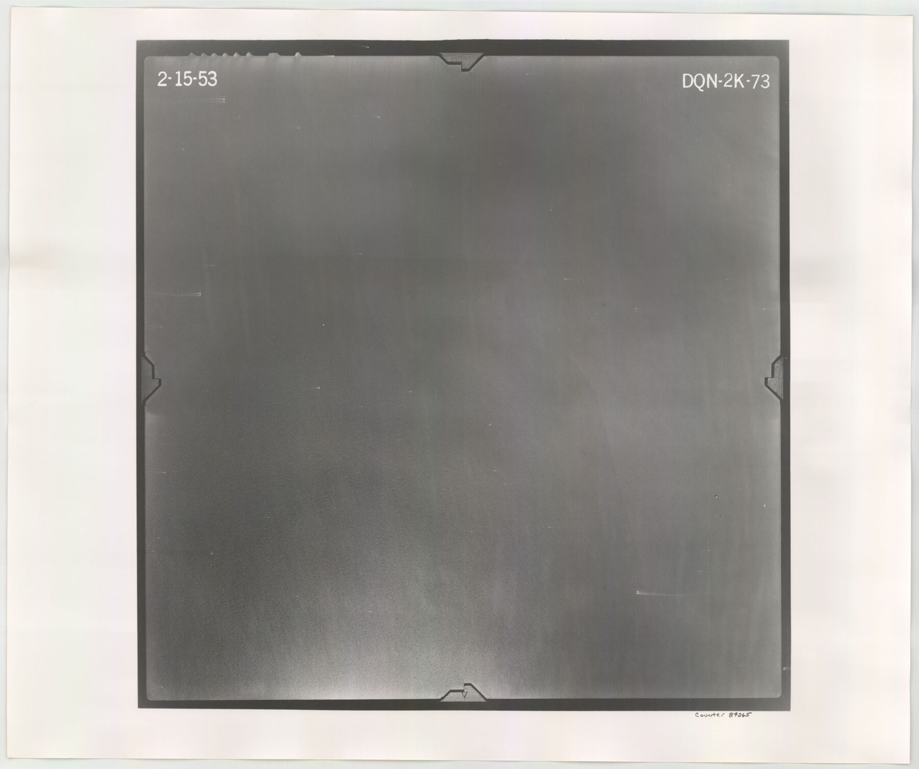
Flight Mission No. DQN-2K, Frame 73, Calhoun County
DQN-2K-73
-
Map/Doc
84265
-
Collection
General Map Collection
-
Object Dates
1953/2/15 (Creation Date)
-
People and Organizations
U. S. Department of Agriculture (Publisher)
-
Counties
Calhoun
-
Subjects
Aerial Photograph
-
Height x Width
18.5 x 22.2 inches
47.0 x 56.4 cm
-
Comments
Flown by Aero Exploration Company of Tulsa, Oklahoma.
Part of: General Map Collection
Marion County Working Sketch 12

Print $20.00
- Digital $50.00
Marion County Working Sketch 12
1952
Size 24.5 x 34.2 inches
Map/Doc 70787
South Sulphur River, Bonner Point Sheet

Print $20.00
- Digital $50.00
South Sulphur River, Bonner Point Sheet
1922
Size 32.9 x 35.7 inches
Map/Doc 65164
Grayson County Sketch File 9

Print $4.00
- Digital $50.00
Grayson County Sketch File 9
1857
Size 12.1 x 8.1 inches
Map/Doc 24472
Nueces County Rolled Sketch 43B

Print $20.00
- Digital $50.00
Nueces County Rolled Sketch 43B
Size 28.0 x 36.5 inches
Map/Doc 6885
El Paso County Rolled Sketch 50

Print $40.00
- Digital $50.00
El Paso County Rolled Sketch 50
1956
Size 20.7 x 80.1 inches
Map/Doc 8876
Texas Coordinate File 5

Print $4.00
- Digital $50.00
Texas Coordinate File 5
Size 11.2 x 8.7 inches
Map/Doc 75312
Upton County Working Sketch 13

Print $20.00
- Digital $50.00
Upton County Working Sketch 13
1937
Size 22.6 x 43.4 inches
Map/Doc 69509
El Paso County Rolled Sketch 46A

Print $20.00
- Digital $50.00
El Paso County Rolled Sketch 46A
1937
Size 35.1 x 30.2 inches
Map/Doc 5833
Montague County Boundary File 2c

Print $44.00
- Digital $50.00
Montague County Boundary File 2c
Size 9.0 x 14.5 inches
Map/Doc 57419
Reagan County Rolled Sketch 10

Print $20.00
- Digital $50.00
Reagan County Rolled Sketch 10
1939
Size 18.7 x 15.8 inches
Map/Doc 7438
Palo Pinto County Rolled Sketch 5

Print $40.00
- Digital $50.00
Palo Pinto County Rolled Sketch 5
1917
Size 53.8 x 35.8 inches
Map/Doc 76022
Texas-Indian Territory Gainesville Quadrangle

Print $20.00
- Digital $50.00
Texas-Indian Territory Gainesville Quadrangle
1913
Size 20.4 x 16.9 inches
Map/Doc 75103
You may also like
Pecos County Sketch showing location of oil wells within 1/2 mile radius of the south 8 acres of the Bob Reid survey

Print $20.00
- Digital $50.00
Pecos County Sketch showing location of oil wells within 1/2 mile radius of the south 8 acres of the Bob Reid survey
Size 24.1 x 20.5 inches
Map/Doc 91624
King County Survey made by A.C. Tackitt and W.D. Twichell

Print $20.00
- Digital $50.00
King County Survey made by A.C. Tackitt and W.D. Twichell
1916
Size 27.5 x 25.1 inches
Map/Doc 5069
Mitchell County Sketch File 7

Print $20.00
- Digital $50.00
Mitchell County Sketch File 7
1906
Size 19.4 x 12.4 inches
Map/Doc 12096
P.J. Lawless Addition of part of Outlots 29 and 30, Division D, Austin, Texas

Print $20.00
- Digital $50.00
P.J. Lawless Addition of part of Outlots 29 and 30, Division D, Austin, Texas
1916
Size 13.7 x 17.1 inches
Map/Doc 620
Culberson County Working Sketch Graphic Index, Sheet A (Sketches 1 to 40)

Print $40.00
- Digital $50.00
Culberson County Working Sketch Graphic Index, Sheet A (Sketches 1 to 40)
1943
Size 51.6 x 32.7 inches
Map/Doc 76514
Brown County Sketch File 27

Print $4.00
- Digital $50.00
Brown County Sketch File 27
1868
Size 13.3 x 8.1 inches
Map/Doc 16624
Map of Bexar County, Texas

Print $20.00
- Digital $50.00
Map of Bexar County, Texas
1879
Size 25.1 x 29.7 inches
Map/Doc 530
Hale County Sketch File 19

Print $4.00
- Digital $50.00
Hale County Sketch File 19
Size 8.4 x 8.8 inches
Map/Doc 24751
[H. & T. C. Block 47, East Line and Red River RR. Co. Block Z and vicinity]
![92974, [H. & T. C. Block 47, East Line and Red River RR. Co. Block Z and vicinity], Twichell Survey Records](https://historictexasmaps.com/wmedia_w700/maps/92974-1.tif.jpg)
Print $20.00
- Digital $50.00
[H. & T. C. Block 47, East Line and Red River RR. Co. Block Z and vicinity]
Size 17.4 x 14.0 inches
Map/Doc 92974
Presidio County Sketch File 6

Print $20.00
- Digital $50.00
Presidio County Sketch File 6
Size 21.3 x 17.8 inches
Map/Doc 11705
Flight Mission No. DQN-2K, Frame 23, Calhoun County

Print $20.00
- Digital $50.00
Flight Mission No. DQN-2K, Frame 23, Calhoun County
1953
Size 17.4 x 19.3 inches
Map/Doc 84230
Runnels County Working Sketch 25

Print $20.00
- Digital $50.00
Runnels County Working Sketch 25
1955
Size 38.2 x 47.1 inches
Map/Doc 63621