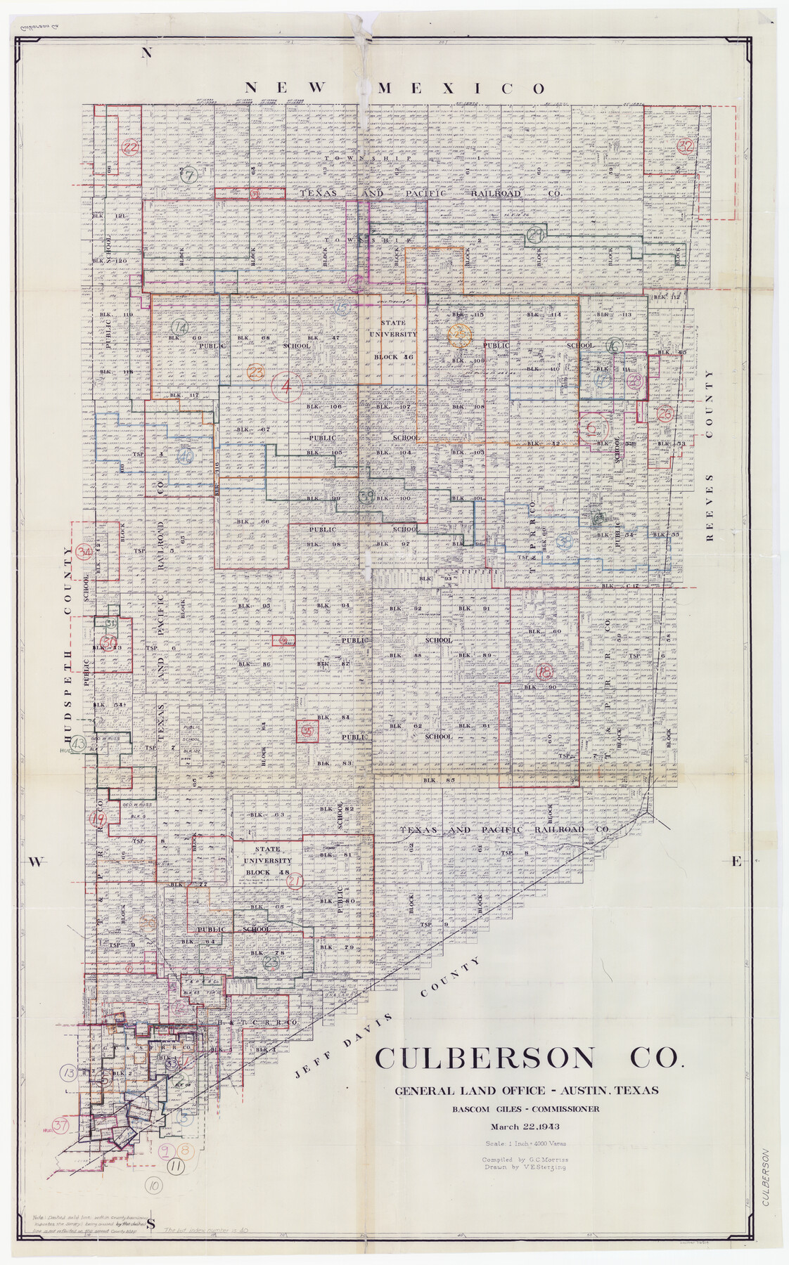
Culberson County Working Sketch Graphic Index, Sheet A (Sketches 1 to 40)
-
Map/Doc
76514
-
Collection
General Map Collection
-
Object Dates
3/22/1943 (Creation Date)
-
People and Organizations
G.C. Morriss (Compiler)
Victor E. Sterzing (Draftsman)
-
Counties
Culberson
-
Subjects
County Surveying Working Sketch
-
Height x Width
51.6 x 32.7 inches
131.1 x 83.1 cm
-
Scale
1" = 4000 varas
Part of: General Map Collection

Harris County NRC Article 33.136 Sketch 15

Print $28.00
- Digital $50.00
Harris County NRC Article 33.136 Sketch 15
2012
Size 24.0 x 18.0 inches
Map/Doc 94762
Stephens County Sketch File 6

Print $4.00
- Digital $50.00
Stephens County Sketch File 6
Size 9.1 x 9.1 inches
Map/Doc 37021
Callahan County Working Sketch 11

Print $40.00
- Digital $50.00
Callahan County Working Sketch 11
1978
Size 43.0 x 48.1 inches
Map/Doc 67893
Flight Mission No. DIX-3P, Frame 59, Aransas County

Print $20.00
- Digital $50.00
Flight Mission No. DIX-3P, Frame 59, Aransas County
1956
Size 17.6 x 21.1 inches
Map/Doc 83761
Brewster County Working Sketch 113

Print $20.00
- Digital $50.00
Brewster County Working Sketch 113
1982
Size 29.4 x 38.2 inches
Map/Doc 67713
Frio County Rolled Sketch 5

Print $20.00
- Digital $50.00
Frio County Rolled Sketch 5
Size 25.7 x 23.0 inches
Map/Doc 5917
Briscoe County Rolled Sketch 16

Print $20.00
- Digital $50.00
Briscoe County Rolled Sketch 16
1934
Size 17.8 x 19.9 inches
Map/Doc 5330
Dawson County Sketch File 30

Print $40.00
- Digital $50.00
Dawson County Sketch File 30
1913
Size 13.6 x 9.1 inches
Map/Doc 20594

Sketch of Colorado Co. presented by Mr. Mason

Print $2.00
- Digital $50.00
Sketch of Colorado Co. presented by Mr. Mason
1845
Size 14.3 x 8.2 inches
Map/Doc 69736
Upton County Rolled Sketch 38

Print $20.00
- Digital $50.00
Upton County Rolled Sketch 38
1953
Size 21.1 x 28.0 inches
Map/Doc 8078
You may also like
Van Zandt County Sketch File 36

Print $4.00
- Digital $50.00
Van Zandt County Sketch File 36
1864
Size 8.0 x 10.4 inches
Map/Doc 39478
Borden County Working Sketch 6

Print $20.00
- Digital $50.00
Borden County Working Sketch 6
1944
Size 24.6 x 23.0 inches
Map/Doc 67466
Aransas County NRC Article 33.136 Location Key Sheet

Print $20.00
- Digital $50.00
Aransas County NRC Article 33.136 Location Key Sheet
1979
Size 27.0 x 23.0 inches
Map/Doc 77005
[San Antonio & Aransas Pass]
![64210, [San Antonio & Aransas Pass], General Map Collection](https://historictexasmaps.com/wmedia_w700/maps/64210.tif.jpg)
Print $20.00
- Digital $50.00
[San Antonio & Aransas Pass]
Size 35.4 x 14.8 inches
Map/Doc 64210
[CTRR Co. Block T, Cottle County, Texas]
![10777, [CTRR Co. Block T, Cottle County, Texas], Maddox Collection](https://historictexasmaps.com/wmedia_w700/maps/10777.tif.jpg)
Print $20.00
- Digital $50.00
[CTRR Co. Block T, Cottle County, Texas]
Size 21.5 x 14.0 inches
Map/Doc 10777
Flight Mission No. DQN-1K, Frame 67, Calhoun County

Print $20.00
- Digital $50.00
Flight Mission No. DQN-1K, Frame 67, Calhoun County
1953
Size 18.3 x 22.1 inches
Map/Doc 84154
Presidio County Working Sketch 119

Print $20.00
- Digital $50.00
Presidio County Working Sketch 119
1983
Size 36.7 x 37.1 inches
Map/Doc 71796
Menard County Boundary File 12a

Print $14.00
- Digital $50.00
Menard County Boundary File 12a
Size 14.2 x 8.8 inches
Map/Doc 57114
Map of Texas Containing the Latest Grants and Discoveries

Print $20.00
Map of Texas Containing the Latest Grants and Discoveries
1836
Size 16.2 x 10.6 inches
Map/Doc 76245
County School Lands

Print $3.00
- Digital $50.00
County School Lands
1913
Size 10.4 x 14.2 inches
Map/Doc 90450
Liberty County Sketch File B

Print $4.00
- Digital $50.00
Liberty County Sketch File B
1869
Size 12.0 x 8.2 inches
Map/Doc 30066
DeWitt County Rolled Sketch 3A

Print $20.00
- Digital $50.00
DeWitt County Rolled Sketch 3A
1950
Size 25.3 x 35.2 inches
Map/Doc 5704