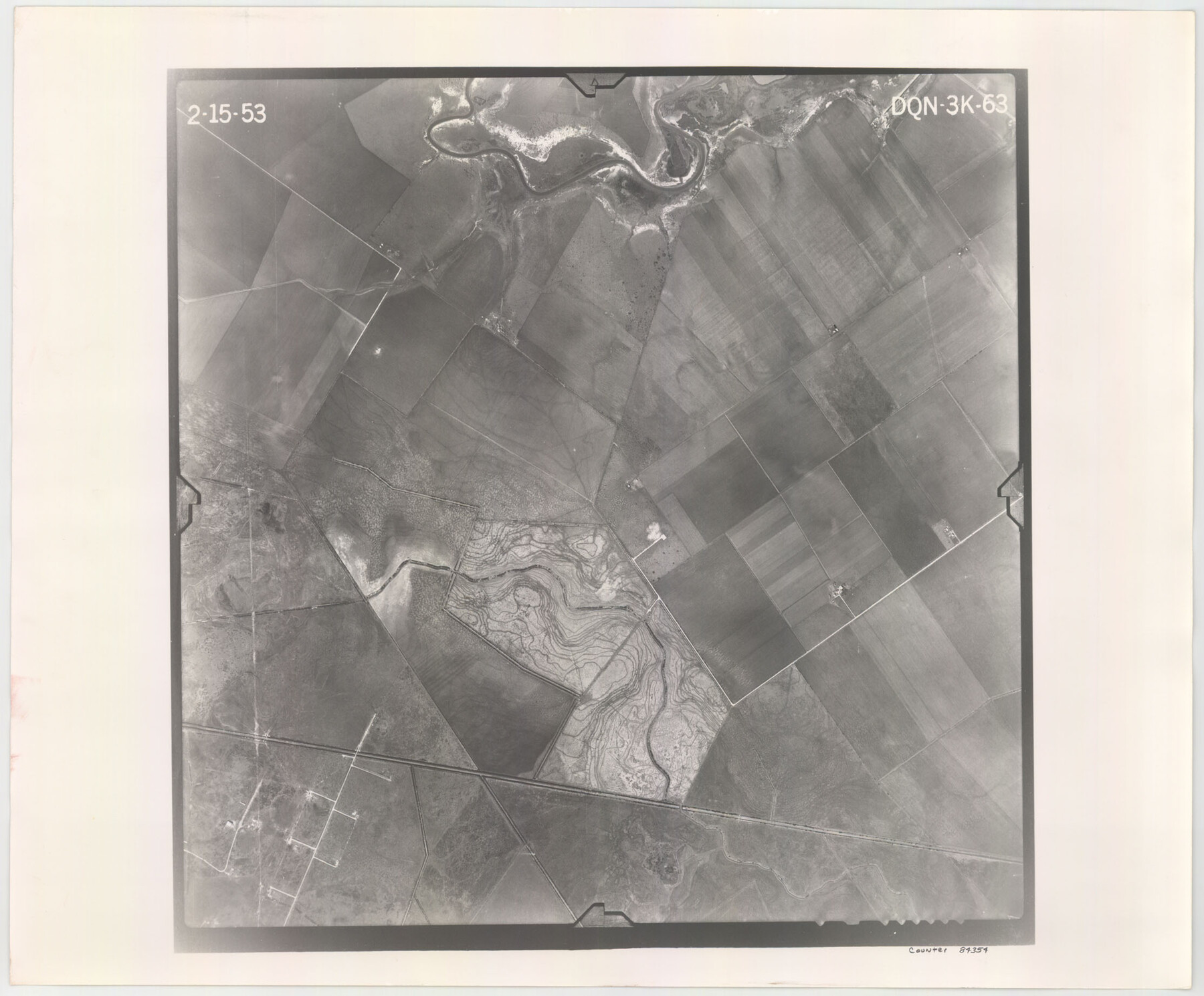
Flight Mission No. DQN-3K, Frame 63, Calhoun County
DQN-3K-53
-
Map/Doc
84354
-
Collection
General Map Collection
-
Object Dates
1953/2/15 (Creation Date)
-
People and Organizations
U. S. Department of Agriculture (Publisher)
-
Counties
Calhoun
-
Subjects
Aerial Photograph
-
Height x Width
18.4 x 22.3 inches
46.7 x 56.6 cm
-
Comments
Flown by Aero Exploration Company of Tulsa, Oklahoma.
Part of: General Map Collection
Tarrant County Working Sketch 10

Print $40.00
- Digital $50.00
Tarrant County Working Sketch 10
1986
Size 29.4 x 58.0 inches
Map/Doc 62427

Flight Mission No. BRA-7M, Frame 31, Jefferson County

Print $20.00
- Digital $50.00
Flight Mission No. BRA-7M, Frame 31, Jefferson County
1953
Size 18.5 x 22.3 inches
Map/Doc 85482

Brazoria County NRC Article 33.136 Sketch 34

Print $24.00
Brazoria County NRC Article 33.136 Sketch 34
2025
Map/Doc 97478

Cooke County Working Sketch 25

Print $20.00
- Digital $50.00
Cooke County Working Sketch 25
1974
Size 31.7 x 22.9 inches
Map/Doc 68262
Val Verde County Sketch File 15 and 16

Print $60.00
- Digital $50.00
Val Verde County Sketch File 15 and 16
1883
Size 8.9 x 4.1 inches
Map/Doc 39207
Polk County Boundary File 70a

Print $40.00
- Digital $50.00
Polk County Boundary File 70a
Size 18.1 x 23.4 inches
Map/Doc 57935
Flight Mission No. CRC-3R, Frame 93, Chambers County

Print $20.00
- Digital $50.00
Flight Mission No. CRC-3R, Frame 93, Chambers County
1956
Size 18.5 x 22.5 inches
Map/Doc 84831
Flight Mission No. CLL-4N, Frame 33, Willacy County

Print $20.00
- Digital $50.00
Flight Mission No. CLL-4N, Frame 33, Willacy County
1954
Size 18.3 x 22.0 inches
Map/Doc 87106
Comanche County Working Sketch 25

Print $20.00
- Digital $50.00
Comanche County Working Sketch 25
1976
Size 34.8 x 31.9 inches
Map/Doc 68159
You may also like
Hamilton County Sketch File 2

Print $4.00
- Digital $50.00
Hamilton County Sketch File 2
1854
Size 12.2 x 7.9 inches
Map/Doc 24899
Grayson County Working Sketch 19

Print $20.00
- Digital $50.00
Grayson County Working Sketch 19
1956
Size 40.0 x 29.0 inches
Map/Doc 63258
Van Zandt County Working Sketch 7

Print $20.00
- Digital $50.00
Van Zandt County Working Sketch 7
1953
Size 17.7 x 18.1 inches
Map/Doc 72257
Lee County Working Sketch 17

Print $20.00
- Digital $50.00
Lee County Working Sketch 17
1988
Size 31.8 x 32.2 inches
Map/Doc 70396
Crane County Rolled Sketch 13

Print $20.00
- Digital $50.00
Crane County Rolled Sketch 13
1940
Size 42.4 x 23.3 inches
Map/Doc 5575
Old Miscellaneous File 2

Print $16.00
- Digital $50.00
Old Miscellaneous File 2
1838
Size 13.0 x 8.0 inches
Map/Doc 75406
Flight Mission No. DQN-1K, Frame 139, Calhoun County

Print $20.00
- Digital $50.00
Flight Mission No. DQN-1K, Frame 139, Calhoun County
1953
Size 18.4 x 22.3 inches
Map/Doc 84202
Hemphill County Working Sketch 5

Print $20.00
- Digital $50.00
Hemphill County Working Sketch 5
1940
Size 31.6 x 42.4 inches
Map/Doc 66100
Freestone County Sketch File 16

Print $4.00
- Digital $50.00
Freestone County Sketch File 16
Size 6.4 x 8.7 inches
Map/Doc 23072
Chambers County Sketch File 8

Print $4.00
- Digital $50.00
Chambers County Sketch File 8
Size 8.0 x 10.7 inches
Map/Doc 17544
Baylor County Sketch File 30

Print $14.00
- Digital $50.00
Baylor County Sketch File 30
Size 11.4 x 9.0 inches
Map/Doc 14228
Collin County Working Sketch 7

Print $40.00
- Digital $50.00
Collin County Working Sketch 7
2004
Size 50.5 x 33.8 inches
Map/Doc 83563