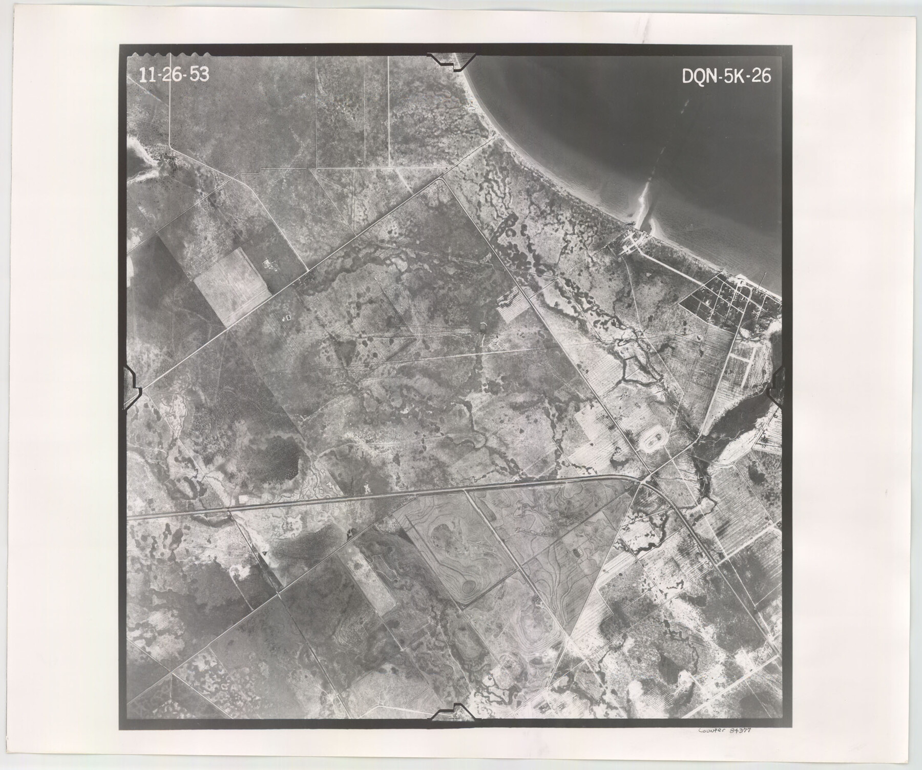
Flight Mission No. DQN-5K, Frame 26, Calhoun County
DQN-5K-26
-
Map/Doc
84377
-
Collection
General Map Collection
-
Object Dates
1953/11/26 (Creation Date)
-
People and Organizations
U. S. Department of Agriculture (Publisher)
-
Counties
Calhoun
-
Subjects
Aerial Photograph
-
Height x Width
18.6 x 22.3 inches
47.2 x 56.6 cm
-
Comments
Flown by Aero Exploration Company of Tulsa, Oklahoma.
Part of: General Map Collection
Foard County Working Sketch 10

Print $20.00
- Digital $50.00
Foard County Working Sketch 10
1977
Size 32.0 x 43.7 inches
Map/Doc 69201
Culberson County Working Sketch 7

Print $20.00
- Digital $50.00
Culberson County Working Sketch 7
1912
Size 21.2 x 17.7 inches
Map/Doc 68459
[Surveys made in Peters Colony by Thomas Leckie]
![1983, [Surveys made in Peters Colony by Thomas Leckie], General Map Collection](https://historictexasmaps.com/wmedia_w700/maps/1983.tif.jpg)
Print $20.00
- Digital $50.00
[Surveys made in Peters Colony by Thomas Leckie]
1858
Size 22.9 x 16.6 inches
Map/Doc 1983
Guadalupe County Working Sketch Graphic Index

Print $20.00
- Digital $50.00
Guadalupe County Working Sketch Graphic Index
1977
Size 35.5 x 46.5 inches
Map/Doc 76561
Flight Mission No. CRE-1R, Frame 195, Jackson County

Print $20.00
- Digital $50.00
Flight Mission No. CRE-1R, Frame 195, Jackson County
1956
Size 18.6 x 22.3 inches
Map/Doc 85349
Jefferson County Rolled Sketch 39

Print $20.00
- Digital $50.00
Jefferson County Rolled Sketch 39
1885
Size 31.6 x 34.3 inches
Map/Doc 9300
Louisiana and Texas Intracoastal Waterway

Print $20.00
- Digital $50.00
Louisiana and Texas Intracoastal Waterway
1929
Size 13.7 x 19.0 inches
Map/Doc 83344
Map of the Central and Montgomery Railroad

Print $20.00
- Digital $50.00
Map of the Central and Montgomery Railroad
1881
Size 12.6 x 36.8 inches
Map/Doc 64141
Newton County Working Sketch 30

Print $20.00
- Digital $50.00
Newton County Working Sketch 30
1955
Size 18.2 x 17.8 inches
Map/Doc 71276
Kerr County Boundary File 4a

Print $16.00
- Digital $50.00
Kerr County Boundary File 4a
Size 6.1 x 8.2 inches
Map/Doc 64801
Railroad Track Map, H&TCRRCo., Falls County, Texas

Print $4.00
- Digital $50.00
Railroad Track Map, H&TCRRCo., Falls County, Texas
1918
Size 11.7 x 18.5 inches
Map/Doc 62854
The Military History of Texas Map!

The Military History of Texas Map!
1996
Size 24.2 x 35.0 inches
Map/Doc 96828
You may also like
Map of Kyle, Lockhart & Southern Ry.

Print $40.00
- Digital $50.00
Map of Kyle, Lockhart & Southern Ry.
1882
Size 14.5 x 94.9 inches
Map/Doc 64285
Ellis County, Texas

Print $20.00
- Digital $50.00
Ellis County, Texas
1879
Size 21.2 x 29.6 inches
Map/Doc 714
Corpus Christi Bay, Texas

Print $40.00
- Digital $50.00
Corpus Christi Bay, Texas
1867
Size 32.3 x 49.0 inches
Map/Doc 73469
Brewster County Sketch File NS-4g

Print $4.00
- Digital $50.00
Brewster County Sketch File NS-4g
1930
Size 10.5 x 7.2 inches
Map/Doc 15981
Amistad International Reservoir on Rio Grande 107

Print $20.00
- Digital $50.00
Amistad International Reservoir on Rio Grande 107
1950
Size 28.4 x 40.9 inches
Map/Doc 75538
Dimmit County Sketch File 22a

Print $2.00
- Digital $50.00
Dimmit County Sketch File 22a
Size 10.0 x 8.6 inches
Map/Doc 21132

Liberty County Sketch File 54

Print $54.00
- Digital $50.00
Liberty County Sketch File 54
1889
Size 14.3 x 8.7 inches
Map/Doc 30022
Bee County Boundary File 6

Print $4.00
- Digital $50.00
Bee County Boundary File 6
Size 10.4 x 7.9 inches
Map/Doc 50458
[Houston & Texas Central Ry.]
![64363, [Houston & Texas Central Ry.], General Map Collection](https://historictexasmaps.com/wmedia_w700/maps/64363.tif.jpg)
Print $20.00
- Digital $50.00
[Houston & Texas Central Ry.]
1939
Size 15.5 x 13.8 inches
Map/Doc 64363
Flight Mission No. BQR-9K, Frame 12, Brazoria County

Print $20.00
- Digital $50.00
Flight Mission No. BQR-9K, Frame 12, Brazoria County
1952
Size 18.8 x 22.3 inches
Map/Doc 84041
Flight Mission No. DAG-24K, Frame 44, Matagorda County

Print $20.00
- Digital $50.00
Flight Mission No. DAG-24K, Frame 44, Matagorda County
1953
Size 16.0 x 15.9 inches
Map/Doc 86531