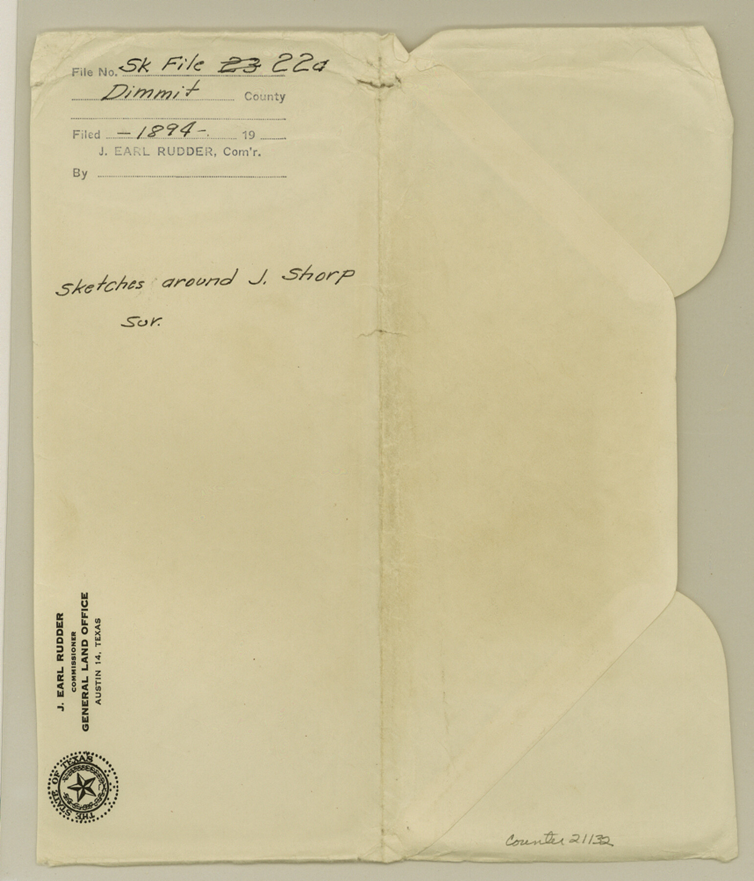
Dimmit County Sketch File 22a
[Jacket only]
-
Map/Doc
21132
-
Collection
General Map Collection
-
Object Dates
1894 (File Date)
-
Counties
Dimmit
-
Subjects
Surveying Sketch File
-
Height x Width
10.0 x 8.6 inches
25.4 x 21.8 cm
-
Medium
paper, manuscript
Part of: General Map Collection
Flight Mission No. DQN-1K, Frame 143, Calhoun County

Print $20.00
- Digital $50.00
Flight Mission No. DQN-1K, Frame 143, Calhoun County
1953
Size 18.5 x 22.1 inches
Map/Doc 84206
Taylor County, Texas

Print $20.00
- Digital $50.00
Taylor County, Texas
1890
Size 28.7 x 21.6 inches
Map/Doc 574
Childress County Rolled Sketch 13

Print $20.00
- Digital $50.00
Childress County Rolled Sketch 13
1910
Size 8.9 x 30.0 inches
Map/Doc 5450
Gillespie County Rolled Sketch 10

Print $3.00
- Digital $50.00
Gillespie County Rolled Sketch 10
2017
Size 16.1 x 10.7 inches
Map/Doc 94413
Robertson Co.

Print $20.00
- Digital $50.00
Robertson Co.
1945
Size 46.3 x 37.2 inches
Map/Doc 77409
Denton County Working Sketch 29

Print $40.00
- Digital $50.00
Denton County Working Sketch 29
1987
Size 49.7 x 36.8 inches
Map/Doc 68634
Flight Mission No. CLL-1N, Frame 158, Willacy County

Print $20.00
- Digital $50.00
Flight Mission No. CLL-1N, Frame 158, Willacy County
1954
Size 18.4 x 22.1 inches
Map/Doc 87049

Travis County Sketch File 29

Print $20.00
- Digital $50.00
Travis County Sketch File 29
1880
Size 12.3 x 21.8 inches
Map/Doc 12459
Gaines County Boundary File 2

Print $42.00
- Digital $50.00
Gaines County Boundary File 2
Size 11.5 x 52.3 inches
Map/Doc 53652
Victoria County Working Sketch 10

Print $20.00
- Digital $50.00
Victoria County Working Sketch 10
1964
Size 36.9 x 45.4 inches
Map/Doc 72280
Webb County Sketch File 63

Print $20.00
- Digital $50.00
Webb County Sketch File 63
1947
Size 17.2 x 21.2 inches
Map/Doc 12653
You may also like
[Area south of Runnels County School Land]
![93168, [Area south of Runnels County School Land], Twichell Survey Records](https://historictexasmaps.com/wmedia_w700/maps/93168-1.tif.jpg)
Print $40.00
- Digital $50.00
[Area south of Runnels County School Land]
Size 87.7 x 42.9 inches
Map/Doc 93168
[Sketch for Mineral Application 13440]
![65673, [Sketch for Mineral Application 13440], General Map Collection](https://historictexasmaps.com/wmedia_w700/maps/65673-1.tif.jpg)
Print $40.00
- Digital $50.00
[Sketch for Mineral Application 13440]
Size 42.4 x 66.0 inches
Map/Doc 65673
Austin County Boundary File 6

Print $16.00
- Digital $50.00
Austin County Boundary File 6
Size 11.1 x 8.4 inches
Map/Doc 50255
Map of Bandera County

Print $40.00
- Digital $50.00
Map of Bandera County
1885
Size 31.6 x 63.9 inches
Map/Doc 4772
No. 2 Chart of Corpus Christi Pass, Texas

Print $20.00
- Digital $50.00
No. 2 Chart of Corpus Christi Pass, Texas
1878
Size 18.3 x 27.4 inches
Map/Doc 73019
Located Line of the Panhandle & Gulf Ry. through State Lands

Print $40.00
- Digital $50.00
Located Line of the Panhandle & Gulf Ry. through State Lands
1904
Size 12.4 x 78.0 inches
Map/Doc 64104
Jasper County Working Sketch 32

Print $20.00
- Digital $50.00
Jasper County Working Sketch 32
1993
Size 18.7 x 22.7 inches
Map/Doc 66494
Fort Bend County

Print $20.00
- Digital $50.00
Fort Bend County
1882
Size 21.4 x 22.7 inches
Map/Doc 3554
Brazoria County Working Sketch 8

Print $20.00
- Digital $50.00
Brazoria County Working Sketch 8
1932
Size 25.9 x 21.5 inches
Map/Doc 67493
Terry County Sketch File 5

Print $40.00
- Digital $50.00
Terry County Sketch File 5
1916
Size 15.6 x 58.6 inches
Map/Doc 10391
Oldham County Working Sketch 1

Print $20.00
- Digital $50.00
Oldham County Working Sketch 1
1901
Size 40.2 x 24.7 inches
Map/Doc 71323
