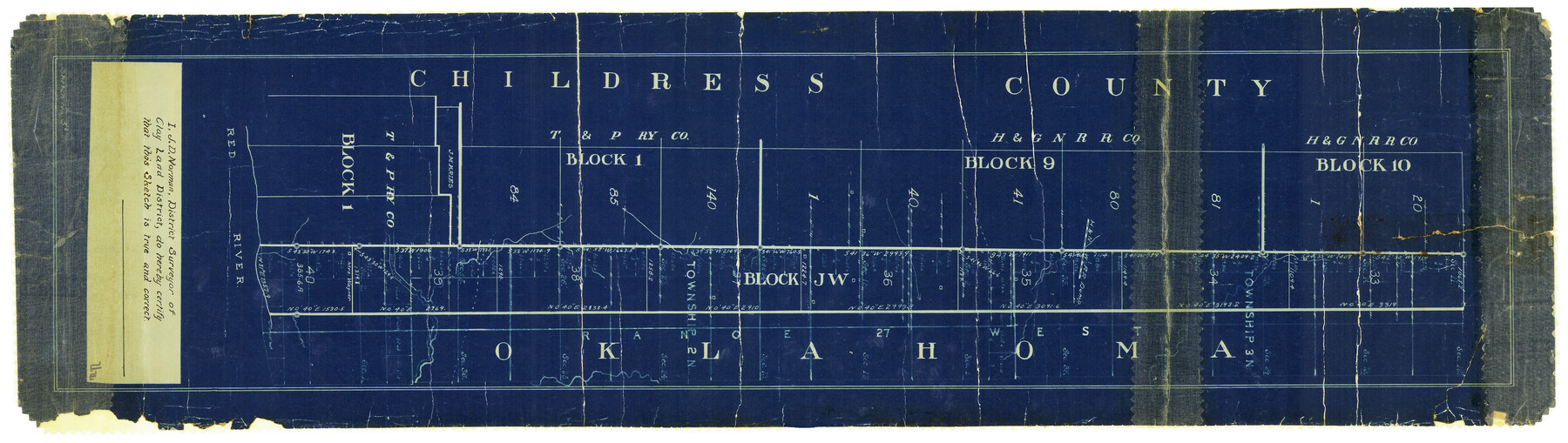
Childress County Rolled Sketch 13
[Block JW and adjacent surveys along Oklahoma border]
-
Map/Doc
5450
-
Collection
General Map Collection
-
Object Dates
5/1910 (Creation Date)
-
People and Organizations
J.D. Norman (Surveyor/Engineer)
-
Counties
Childress
-
Subjects
Surveying Rolled Sketch
-
Height x Width
8.9 x 30.0 inches
22.6 x 76.2 cm
-
Medium
blueprint/diazo
Part of: General Map Collection
Sketch J No. 2 Showing the Progress of the Survey of San Francisco Bay and Vicinity Section X From 1850 to 1852

Print $20.00
- Digital $50.00
Sketch J No. 2 Showing the Progress of the Survey of San Francisco Bay and Vicinity Section X From 1850 to 1852
1852
Size 12.3 x 12.7 inches
Map/Doc 97229
Crane County Sketch File 24

Print $20.00
- Digital $50.00
Crane County Sketch File 24
Size 23.0 x 17.0 inches
Map/Doc 11212
Galveston County Rolled Sketch Z61

Print $20.00
- Digital $50.00
Galveston County Rolled Sketch Z61
1934
Size 34.9 x 23.0 inches
Map/Doc 5993
Flight Mission No. DCL-4C, Frame 96, Kenedy County

Print $20.00
- Digital $50.00
Flight Mission No. DCL-4C, Frame 96, Kenedy County
1943
Size 18.6 x 22.3 inches
Map/Doc 85817
Pecos County Sketch File 85

Print $19.00
- Digital $50.00
Pecos County Sketch File 85
1948
Size 14.6 x 9.2 inches
Map/Doc 33955
Robertson County Working Sketch 12

Print $20.00
- Digital $50.00
Robertson County Working Sketch 12
1984
Size 20.6 x 22.4 inches
Map/Doc 63585


Cooke County Sketch File 15

Print $4.00
- Digital $50.00
Cooke County Sketch File 15
1860
Size 12.5 x 8.1 inches
Map/Doc 19250
Montague County Working Sketch 10

Print $20.00
- Digital $50.00
Montague County Working Sketch 10
1940
Size 13.1 x 28.2 inches
Map/Doc 71076
El Paso County Sketch File 18

Print $20.00
- Digital $50.00
El Paso County Sketch File 18
Size 19.0 x 23.8 inches
Map/Doc 11454
Flight Mission No. CRE-2R, Frame 168, Jackson County

Print $20.00
- Digital $50.00
Flight Mission No. CRE-2R, Frame 168, Jackson County
1956
Size 18.5 x 22.3 inches
Map/Doc 85378
You may also like
Map of State University Land, Pecos County, Texas

Print $20.00
- Digital $50.00
Map of State University Land, Pecos County, Texas
1929
Size 42.1 x 33.5 inches
Map/Doc 91626
University Land Field Notes for Block L in El Paso County

University Land Field Notes for Block L in El Paso County
Map/Doc 81725
Sutton County Working Sketch 9

Print $20.00
- Digital $50.00
Sutton County Working Sketch 9
1972
Size 41.8 x 38.1 inches
Map/Doc 62352
Working Sketch from Lynn & Garza Counties

Print $20.00
- Digital $50.00
Working Sketch from Lynn & Garza Counties
1902
Size 35.8 x 30.6 inches
Map/Doc 93223
General Highway Map, Brewster County, Texas

Print $20.00
General Highway Map, Brewster County, Texas
1961
Size 18.2 x 24.9 inches
Map/Doc 79385
Webb County Sketch File 19

Print $15.00
- Digital $50.00
Webb County Sketch File 19
1902
Size 9.2 x 17.0 inches
Map/Doc 39822
Williamson County Working Sketch 16

Print $20.00
- Digital $50.00
Williamson County Working Sketch 16
1984
Size 31.9 x 23.7 inches
Map/Doc 72576
Webb County Rolled Sketch 31

Print $20.00
- Digital $50.00
Webb County Rolled Sketch 31
Size 38.8 x 44.5 inches
Map/Doc 10122
Aransas County Sketch File 22

Print $34.00
- Digital $50.00
Aransas County Sketch File 22
1910
Size 14.8 x 9.1 inches
Map/Doc 13166
Palo Pinto County Sketch File 7

Print $4.00
- Digital $50.00
Palo Pinto County Sketch File 7
1870
Size 13.0 x 8.2 inches
Map/Doc 33398
Flight Mission No. DQO-8K, Frame 16, Galveston County

Print $20.00
- Digital $50.00
Flight Mission No. DQO-8K, Frame 16, Galveston County
1952
Size 18.8 x 22.4 inches
Map/Doc 85139
