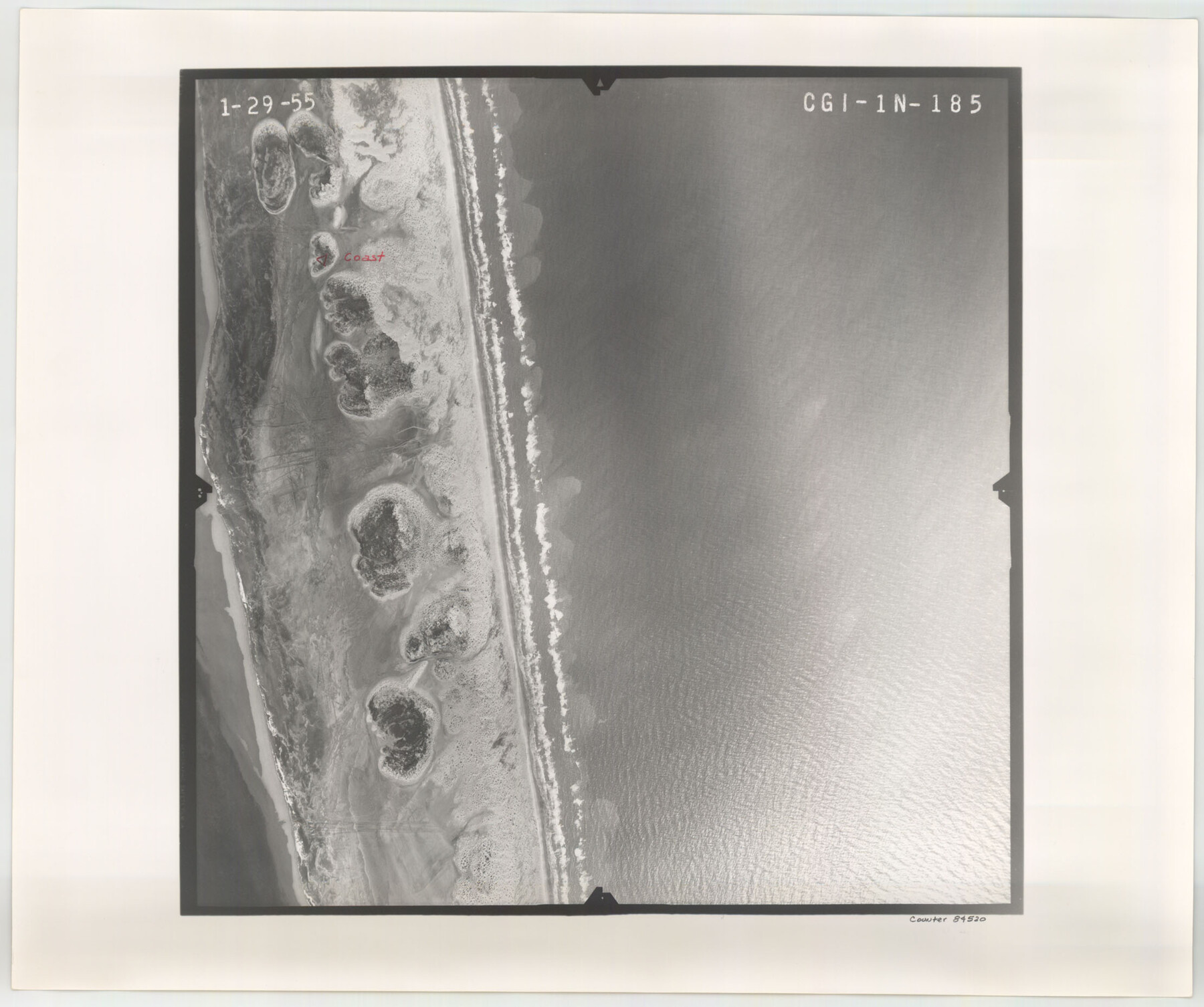
Flight Mission No. CGI-1N, Frame 185, Cameron County
CGI-1N-185
-
Map/Doc
84520
-
Collection
General Map Collection
-
Object Dates
1955/1/29 (Creation Date)
-
People and Organizations
U. S. Department of Agriculture (Publisher)
-
Counties
Cameron
-
Subjects
Aerial Photograph
-
Height x Width
18.6 x 22.2 inches
47.2 x 56.4 cm
-
Comments
Flown by Puckett Aerial Surveys, Inc. of Jackson, Mississippi.
Part of: General Map Collection
Dimmit County Rolled Sketch 13

Print $20.00
- Digital $50.00
Dimmit County Rolled Sketch 13
1944
Size 17.7 x 26.7 inches
Map/Doc 5722
Childress County Working Sketch 7

Print $20.00
- Digital $50.00
Childress County Working Sketch 7
1960
Size 20.7 x 14.8 inches
Map/Doc 68023
Atascosa County Rolled Sketch 26

Print $20.00
- Digital $50.00
Atascosa County Rolled Sketch 26
2013
Size 24.6 x 36.6 inches
Map/Doc 95409
Right of Way and Track Map, the Missouri, Kansas and Texas Ry. of Texas - Henrietta Division

Print $20.00
- Digital $50.00
Right of Way and Track Map, the Missouri, Kansas and Texas Ry. of Texas - Henrietta Division
1918
Size 11.8 x 27.0 inches
Map/Doc 64761

Brewster County Working Sketch 12

Print $20.00
- Digital $50.00
Brewster County Working Sketch 12
1924
Size 36.9 x 21.4 inches
Map/Doc 67545
[San Antonio & Aransas Pass Ry. from Lockhart to Caldwell-Gonzales County line]
![64259, [San Antonio & Aransas Pass Ry. from Lockhart to Caldwell-Gonzales County line], General Map Collection](https://historictexasmaps.com/wmedia_w700/maps/64259.tif.jpg)
Print $40.00
- Digital $50.00
[San Antonio & Aransas Pass Ry. from Lockhart to Caldwell-Gonzales County line]
1895
Size 53.6 x 15.1 inches
Map/Doc 64259
Hood County Working Sketch 3

Print $20.00
- Digital $50.00
Hood County Working Sketch 3
1960
Size 24.6 x 43.9 inches
Map/Doc 66197
Throckmorton County Sketch File 7

Print $8.00
- Digital $50.00
Throckmorton County Sketch File 7
Size 14.3 x 8.8 inches
Map/Doc 38090
Harrison County Working Sketch 9

Print $20.00
- Digital $50.00
Harrison County Working Sketch 9
1956
Size 23.6 x 24.9 inches
Map/Doc 66029
Map of Clemens State Farm, Brazoria County, Texas

Print $20.00
- Digital $50.00
Map of Clemens State Farm, Brazoria County, Texas
1934
Size 31.2 x 36.1 inches
Map/Doc 62984
Lamb County Sketch File 11

Print $6.00
- Digital $50.00
Lamb County Sketch File 11
1913
Size 11.5 x 8.8 inches
Map/Doc 29360
You may also like
Bandera County Sketch File 27

Print $40.00
- Digital $50.00
Bandera County Sketch File 27
1930
Size 17.1 x 12.4 inches
Map/Doc 14019
Harris County Historic Topographic 16

Print $20.00
- Digital $50.00
Harris County Historic Topographic 16
1916
Size 29.3 x 22.9 inches
Map/Doc 65826
Brazos County Working Sketch 2

Print $20.00
- Digital $50.00
Brazos County Working Sketch 2
1950
Size 31.9 x 36.0 inches
Map/Doc 67477
Crane County Working Sketch Graphic Index, Sheet A

Print $20.00
- Digital $50.00
Crane County Working Sketch Graphic Index, Sheet A
1945
Size 44.6 x 33.3 inches
Map/Doc 76507
Van Zandt County

Print $20.00
- Digital $50.00
Van Zandt County
1870
Size 22.9 x 21.6 inches
Map/Doc 4112
Current Miscellaneous File 32

Print $12.00
- Digital $50.00
Current Miscellaneous File 32
Size 11.0 x 8.7 inches
Map/Doc 73933
Wharton County Working Sketch 18

Print $20.00
- Digital $50.00
Wharton County Working Sketch 18
1948
Size 19.3 x 17.0 inches
Map/Doc 72482

Winkler County Working Sketch 16

Print $20.00
- Digital $50.00
Winkler County Working Sketch 16
1964
Size 27.7 x 35.8 inches
Map/Doc 72610
Hunt County Boundary File 10a

Print $40.00
- Digital $50.00
Hunt County Boundary File 10a
Size 42.1 x 10.5 inches
Map/Doc 55262
Flight Mission No. BRA-8M, Frame 142, Jefferson County

Print $20.00
- Digital $50.00
Flight Mission No. BRA-8M, Frame 142, Jefferson County
1953
Size 18.5 x 22.1 inches
Map/Doc 85634
Presidio County Working Sketch 58

Print $20.00
- Digital $50.00
Presidio County Working Sketch 58
1956
Size 21.9 x 24.2 inches
Map/Doc 71735