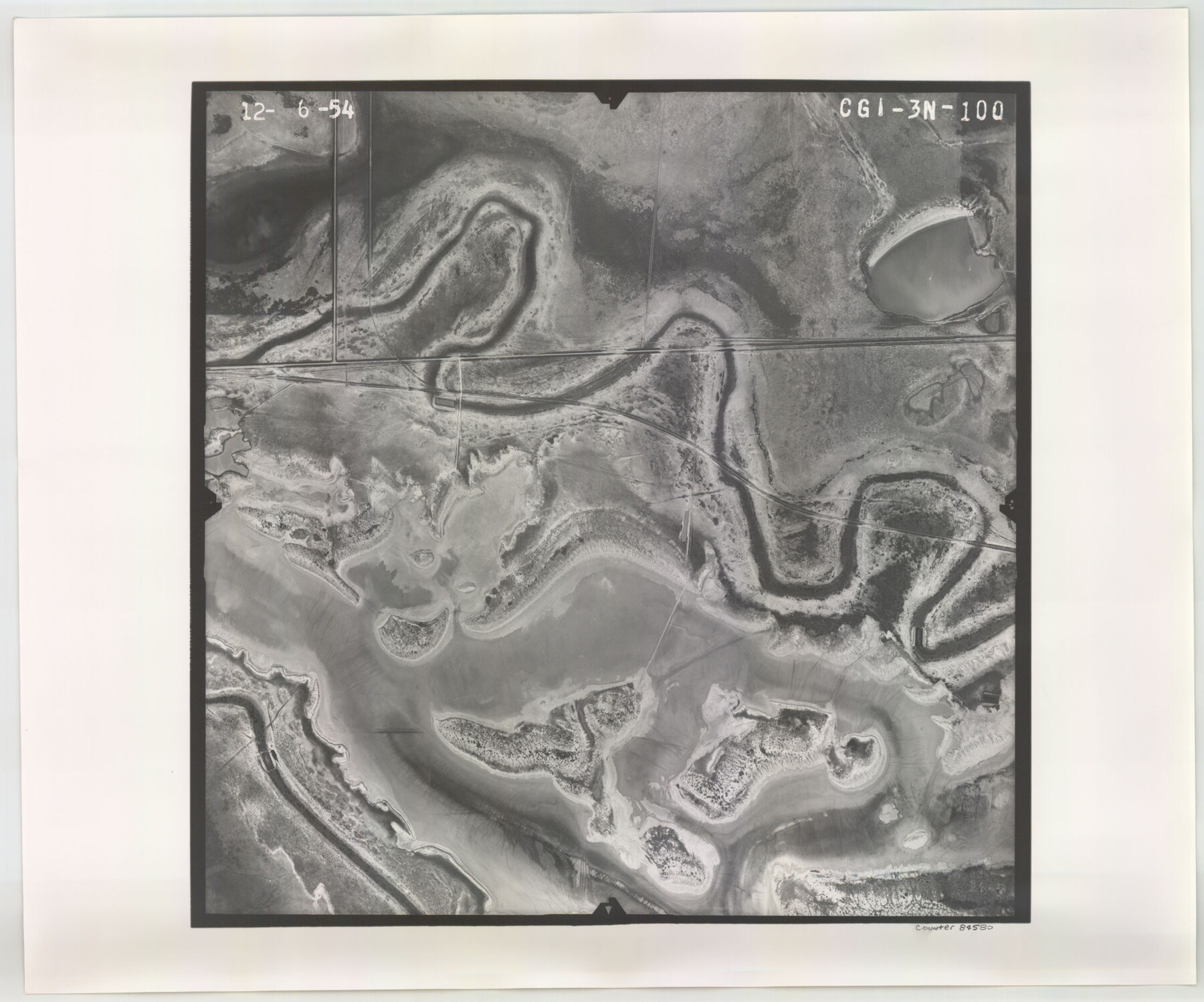
Flight Mission No. CGI-3N, Frame 100, Cameron County
CGI-3N-100
-
Map/Doc
84580
-
Collection
General Map Collection
-
Object Dates
1954/12/6 (Creation Date)
-
People and Organizations
U. S. Department of Agriculture (Publisher)
-
Counties
Cameron
-
Subjects
Aerial Photograph
-
Height x Width
18.6 x 22.3 inches
47.2 x 56.6 cm
-
Comments
Flown by Puckett Aerial Surveys, Inc. of Jackson, Mississippi.
Part of: General Map Collection
Harris County NRC Article 33.136 Sketch 4

Print $22.00
- Digital $50.00
Harris County NRC Article 33.136 Sketch 4
2001
Size 36.1 x 24.3 inches
Map/Doc 61600

Bee County Sketch File 3a

Print $8.00
- Digital $50.00
Bee County Sketch File 3a
1875
Size 12.7 x 8.2 inches
Map/Doc 14264
Nueces County Rolled Sketch 129

Print $20.00
- Digital $50.00
Nueces County Rolled Sketch 129
1998
Size 18.1 x 24.5 inches
Map/Doc 7164
Fannin County Rolled Sketch 18G

Print $20.00
- Digital $50.00
Fannin County Rolled Sketch 18G
Size 27.9 x 36.0 inches
Map/Doc 5874
Throckmorton County Sketch File 10

Print $6.00
- Digital $50.00
Throckmorton County Sketch File 10
1955
Size 11.2 x 8.8 inches
Map/Doc 38102
Wise County Sketch File 32

Print $5.00
- Digital $50.00
Wise County Sketch File 32
1880
Size 16.4 x 11.0 inches
Map/Doc 40588
Dickens County Sketch File H1

Print $20.00
- Digital $50.00
Dickens County Sketch File H1
1902
Size 16.7 x 15.1 inches
Map/Doc 11336
[Map of the City of South Padre Island]
![3212, [Map of the City of South Padre Island], General Map Collection](https://historictexasmaps.com/wmedia_w700/maps/3212-1.tif.jpg)
Print $20.00
- Digital $50.00
[Map of the City of South Padre Island]
1993
Size 12.5 x 36.5 inches
Map/Doc 3212
Mills County Boundary File 2

Print $6.00
- Digital $50.00
Mills County Boundary File 2
Size 14.1 x 8.7 inches
Map/Doc 57278
Presidio County Rolled Sketch 82

Print $20.00
- Digital $50.00
Presidio County Rolled Sketch 82
1943
Size 35.5 x 26.1 inches
Map/Doc 7369
Map of the State of Texas

Print $40.00
- Digital $50.00
Map of the State of Texas
1879
Size 47.1 x 51.4 inches
Map/Doc 2133
You may also like
Culberson County Sketch File 16

Print $20.00
- Digital $50.00
Culberson County Sketch File 16
Size 27.0 x 38.1 inches
Map/Doc 11268
San Patricio County Working Sketch 6

Print $40.00
- Digital $50.00
San Patricio County Working Sketch 6
1934
Size 44.0 x 87.3 inches
Map/Doc 63768
Galveston County Rolled Sketch 18

Print $20.00
- Digital $50.00
Galveston County Rolled Sketch 18
1959
Size 27.9 x 35.8 inches
Map/Doc 5955
Hopkins County Rolled Sketch 28

Print $20.00
- Digital $50.00
Hopkins County Rolled Sketch 28
Size 25.3 x 19.9 inches
Map/Doc 6225
Smith County Rolled Sketch 6E2

Print $20.00
- Digital $50.00
Smith County Rolled Sketch 6E2
1960
Size 27.6 x 22.7 inches
Map/Doc 10613
New Mexico and Adjacent Lands

New Mexico and Adjacent Lands
2022
Size 8.5 x 11.0 inches
Map/Doc 96977
1968 Texas Official State Highway Map

Digital $50.00
1968 Texas Official State Highway Map
Size 28.1 x 36.5 inches
Map/Doc 94319
E. N. Gustafson's survey of Southern Portion of Lake Austin, Matagorda Co., TX

Print $20.00
- Digital $50.00
E. N. Gustafson's survey of Southern Portion of Lake Austin, Matagorda Co., TX
1926
Size 36.7 x 42.7 inches
Map/Doc 2922
General Highway Map, Limestone County, Texas

Print $20.00
General Highway Map, Limestone County, Texas
1940
Size 18.3 x 24.9 inches
Map/Doc 79174
San Augustine County Working Sketch 2

Print $20.00
- Digital $50.00
San Augustine County Working Sketch 2
Size 28.5 x 19.1 inches
Map/Doc 63689
Map of the British Isles designed to accompany Smith's Geography for Schools

Print $20.00
- Digital $50.00
Map of the British Isles designed to accompany Smith's Geography for Schools
1850
Size 12.1 x 9.8 inches
Map/Doc 93894
[Galveston, Harrisburg & San Antonio through El Paso County]
![64007, [Galveston, Harrisburg & San Antonio through El Paso County], General Map Collection](https://historictexasmaps.com/wmedia_w700/maps/64007.tif.jpg)
Print $20.00
- Digital $50.00
[Galveston, Harrisburg & San Antonio through El Paso County]
1906
Size 13.4 x 33.9 inches
Map/Doc 64007