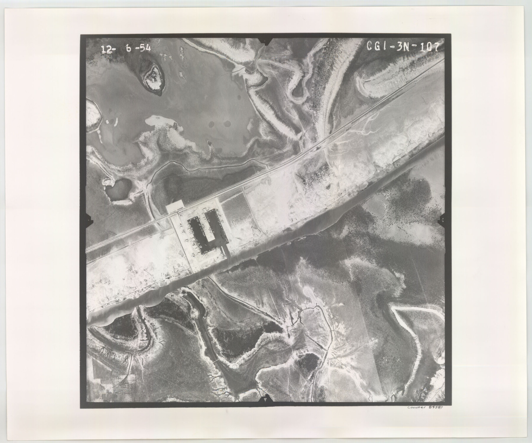
Flight Mission No. CGI-3N, Frame 107, Cameron County
CGI-3N-107
-
Map/Doc
84587
-
Collection
General Map Collection
-
Object Dates
1954/12/6 (Creation Date)
-
People and Organizations
U. S. Department of Agriculture (Publisher)
-
Counties
Cameron
-
Subjects
Aerial Photograph
-
Height x Width
18.6 x 22.3 inches
47.2 x 56.6 cm
-
Comments
Flown by Puckett Aerial Surveys, Inc. of Jackson, Mississippi.
Part of: General Map Collection
Briscoe County Working Sketch 3

Print $20.00
- Digital $50.00
Briscoe County Working Sketch 3
1916
Size 28.1 x 22.0 inches
Map/Doc 67806
Flight Mission No. BRA-16M, Frame 178, Jefferson County

Print $20.00
- Digital $50.00
Flight Mission No. BRA-16M, Frame 178, Jefferson County
1953
Size 18.6 x 22.4 inches
Map/Doc 85776
Flight Mission No. DQN-1K, Frame 132, Calhoun County

Print $20.00
- Digital $50.00
Flight Mission No. DQN-1K, Frame 132, Calhoun County
1953
Size 18.4 x 22.1 inches
Map/Doc 84195
Blanco County Working Sketch 19

Print $20.00
- Digital $50.00
Blanco County Working Sketch 19
1960
Size 24.4 x 29.2 inches
Map/Doc 67379


Howard County Working Sketch 3

Print $20.00
- Digital $50.00
Howard County Working Sketch 3
1904
Size 26.8 x 20.1 inches
Map/Doc 66269
Wheeler County Working Sketch 4

Print $40.00
- Digital $50.00
Wheeler County Working Sketch 4
1972
Size 58.9 x 47.1 inches
Map/Doc 72493
Reeves County Sketch File 25

Print $4.00
- Digital $50.00
Reeves County Sketch File 25
1873
Size 8.4 x 5.6 inches
Map/Doc 35224
Travis County Working Sketch 33

Print $20.00
- Digital $50.00
Travis County Working Sketch 33
1966
Size 35.0 x 37.2 inches
Map/Doc 69417
Upper Galveston Bay, Houston Ship Channel, Dollar Pt. to Atkinson I.

Print $40.00
- Digital $50.00
Upper Galveston Bay, Houston Ship Channel, Dollar Pt. to Atkinson I.
1976
Size 49.3 x 36.5 inches
Map/Doc 69897
Wichita County Sketch File 10

Print $4.00
- Digital $50.00
Wichita County Sketch File 10
Size 12.7 x 8.3 inches
Map/Doc 40054
You may also like
Panola County Working Sketch 10

Print $20.00
- Digital $50.00
Panola County Working Sketch 10
1943
Map/Doc 71419
Crockett County Rolled Sketch 96

Print $20.00
- Digital $50.00
Crockett County Rolled Sketch 96
1986
Size 25.2 x 28.9 inches
Map/Doc 5635
Brown County Sketch File 29

Print $6.00
- Digital $50.00
Brown County Sketch File 29
1924
Size 14.3 x 8.9 inches
Map/Doc 16628
Kleberg County Rolled Sketch 8

Print $20.00
- Digital $50.00
Kleberg County Rolled Sketch 8
1947
Size 33.0 x 42.0 inches
Map/Doc 9360
Map of Kinney County

Print $20.00
- Digital $50.00
Map of Kinney County
1879
Size 23.5 x 37.2 inches
Map/Doc 3778
Falls County Sketch File 26

Print $7.00
- Digital $50.00
Falls County Sketch File 26
1876
Size 10.1 x 8.2 inches
Map/Doc 22433
Wavell Empresario Colony. Proposed, March 9, 1826

Print $20.00
Wavell Empresario Colony. Proposed, March 9, 1826
2020
Size 16.0 x 21.7 inches
Map/Doc 96009
Val Verde County Boundary File 103

Print $82.00
- Digital $50.00
Val Verde County Boundary File 103
Size 9.1 x 9.1 inches
Map/Doc 59577
The Republic County of Victoria. Proposed, Late Fall 1837-September 18, 1838

Print $20.00
The Republic County of Victoria. Proposed, Late Fall 1837-September 18, 1838
2020
Size 22.5 x 21.7 inches
Map/Doc 96295
United States Great Lakes and adjacent waterways

Print $20.00
- Digital $50.00
United States Great Lakes and adjacent waterways
Size 20.8 x 42.2 inches
Map/Doc 76121
Lamar County Working Sketch 8

Print $20.00
- Digital $50.00
Lamar County Working Sketch 8
1969
Size 39.3 x 31.6 inches
Map/Doc 70269
Montgomery County Working Sketch 62

Print $20.00
- Digital $50.00
Montgomery County Working Sketch 62
1963
Size 18.1 x 21.3 inches
Map/Doc 71169