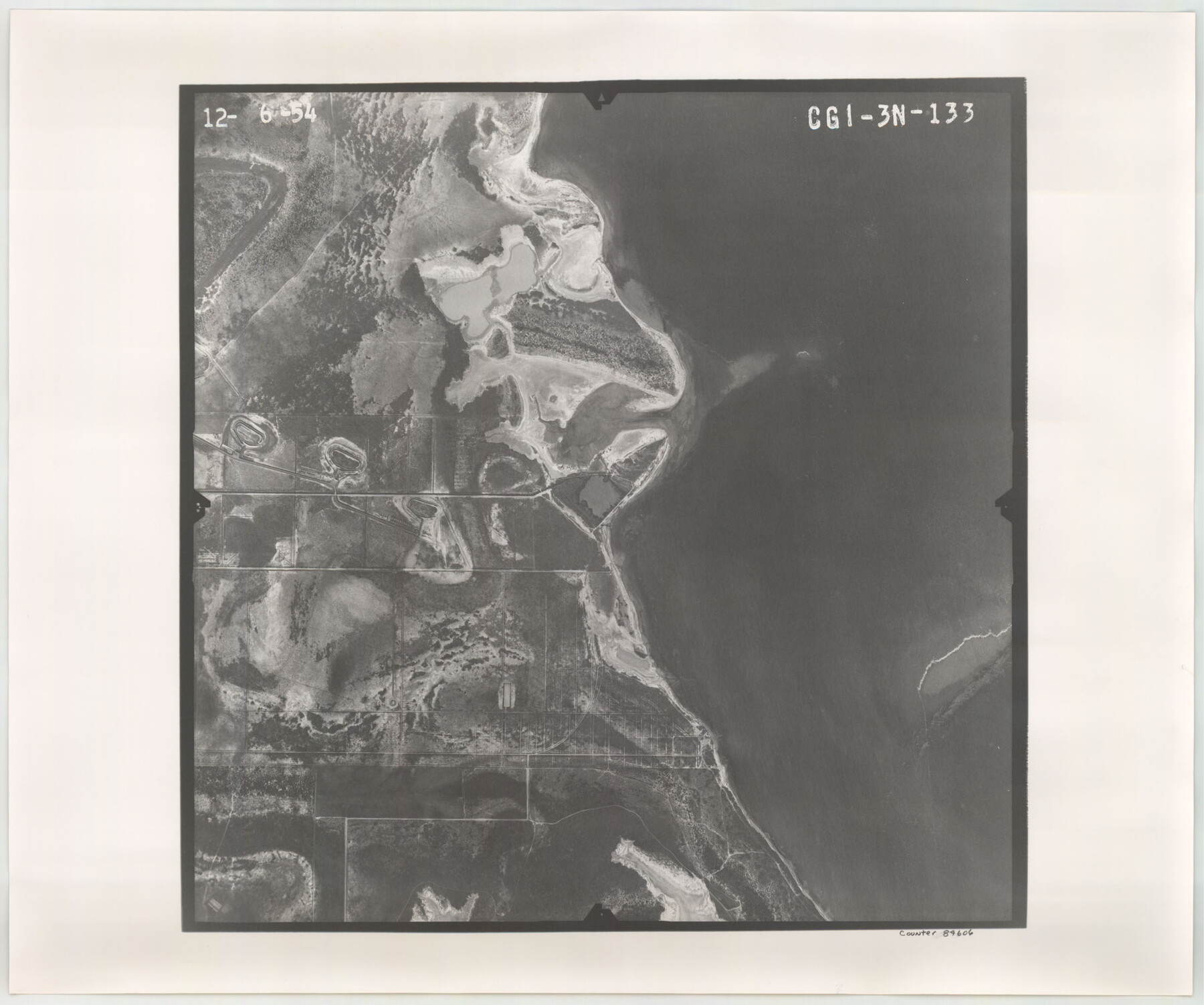
Flight Mission No. CGI-3N, Frame 133, Cameron County
CGI-3N-133
-
Map/Doc
84606
-
Collection
General Map Collection
-
Object Dates
1954/12/6 (Creation Date)
-
People and Organizations
U. S. Department of Agriculture (Publisher)
-
Counties
Cameron
-
Subjects
Aerial Photograph
-
Height x Width
18.5 x 22.1 inches
47.0 x 56.1 cm
-
Comments
Flown by Puckett Aerial Surveys, Inc. of Jackson, Mississippi.
Part of: General Map Collection
Clay County Sketch File 1a

Print $25.00
- Digital $50.00
Clay County Sketch File 1a
1860
Size 8.8 x 8.2 inches
Map/Doc 18387
Kinney County Working Sketch 24

Print $20.00
- Digital $50.00
Kinney County Working Sketch 24
1950
Size 41.7 x 35.9 inches
Map/Doc 70206
Matagorda County Rolled Sketch 33

Print $40.00
- Digital $50.00
Matagorda County Rolled Sketch 33
1957
Size 43.5 x 63.0 inches
Map/Doc 9482
McMullen County Rolled Sketch 15

Print $20.00
- Digital $50.00
McMullen County Rolled Sketch 15
1948
Size 30.9 x 25.9 inches
Map/Doc 6732
Kaufman County Sketch File 12

Print $4.00
- Digital $50.00
Kaufman County Sketch File 12
1862
Size 12.9 x 8.2 inches
Map/Doc 28647
Bell County Sketch File 33

Print $6.00
- Digital $50.00
Bell County Sketch File 33
Size 14.4 x 8.7 inches
Map/Doc 14452
Pecos County Rolled Sketch DK5

Print $20.00
- Digital $50.00
Pecos County Rolled Sketch DK5
Size 24.3 x 16.8 inches
Map/Doc 7310
Eastland County Sketch File 21

Print $8.00
- Digital $50.00
Eastland County Sketch File 21
1990
Size 11.3 x 8.8 inches
Map/Doc 21622
Dallas County Working Sketch 5

Print $20.00
- Digital $50.00
Dallas County Working Sketch 5
1941
Size 18.7 x 16.4 inches
Map/Doc 68571
Harris County Sketch File 21

Print $4.00
- Digital $50.00
Harris County Sketch File 21
1862
Size 13.1 x 8.2 inches
Map/Doc 25373
Jeff Davis County Rolled Sketch 25

Print $20.00
- Digital $50.00
Jeff Davis County Rolled Sketch 25
1953
Size 22.6 x 32.1 inches
Map/Doc 6373
Brazos River, Howth Sheet

Print $6.00
- Digital $50.00
Brazos River, Howth Sheet
1936
Size 30.5 x 30.9 inches
Map/Doc 65276
You may also like
San Patricio County Aerial Photograph Index Sheet 5

Print $20.00
- Digital $50.00
San Patricio County Aerial Photograph Index Sheet 5
1957
Size 23.9 x 19.2 inches
Map/Doc 83747
Angelina County Boundary File 1

Print $16.00
- Digital $50.00
Angelina County Boundary File 1
Size 12.9 x 8.3 inches
Map/Doc 49765
English Field Notes of the Spanish Archives - Books R & MC

English Field Notes of the Spanish Archives - Books R & MC
1835
Map/Doc 96552
Upton County Rolled Sketch 59

Print $40.00
- Digital $50.00
Upton County Rolled Sketch 59
1994
Size 35.8 x 49.2 inches
Map/Doc 10637
Sherman County Boundary File 3

Print $55.00
- Digital $50.00
Sherman County Boundary File 3
Size 9.2 x 8.6 inches
Map/Doc 58773

[Galveston, Harrisburg & San Antonio through El Paso County]
![64008, [Galveston, Harrisburg & San Antonio through El Paso County], General Map Collection](https://historictexasmaps.com/wmedia_w700/maps/64008.tif.jpg)
Print $20.00
- Digital $50.00
[Galveston, Harrisburg & San Antonio through El Paso County]
1906
Size 13.7 x 33.8 inches
Map/Doc 64008
Flight Mission No. CLL-1N, Frame 80, Willacy County

Print $20.00
- Digital $50.00
Flight Mission No. CLL-1N, Frame 80, Willacy County
1954
Size 18.4 x 22.1 inches
Map/Doc 87026
Angelina County Working Sketch 17

Print $20.00
- Digital $50.00
Angelina County Working Sketch 17
1942
Size 18.6 x 13.8 inches
Map/Doc 67098
Approaches to Galveston Bay

Print $40.00
- Digital $50.00
Approaches to Galveston Bay
1982
Size 53.1 x 36.7 inches
Map/Doc 69884
Cooke County Sketch File 33

Print $44.00
- Digital $50.00
Cooke County Sketch File 33
1873
Size 13.4 x 26.5 inches
Map/Doc 11174
Texas Gulf Coast Map from the Sabine River to the Rio Grande as subdivided for mineral development

Print $40.00
- Digital $50.00
Texas Gulf Coast Map from the Sabine River to the Rio Grande as subdivided for mineral development
1948
Size 42.6 x 54.3 inches
Map/Doc 2907