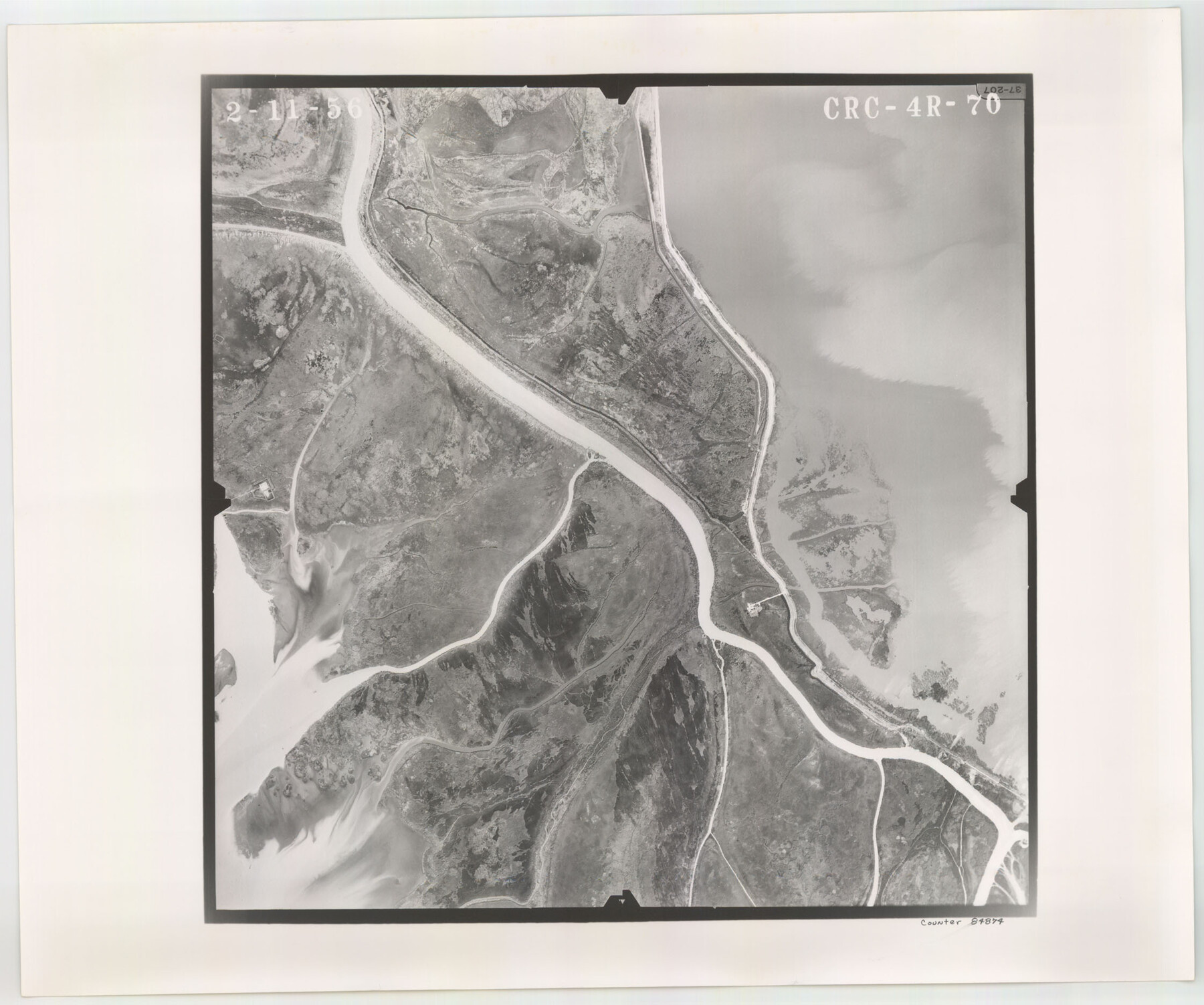
Flight Mission No. CRC-4R, Frame 70, Chambers County
CRC-4R-70
-
Map/Doc
84874
-
Collection
General Map Collection
-
Object Dates
1956/2/11 (Creation Date)
-
People and Organizations
U. S. Department of Agriculture (Publisher)
-
Counties
Chambers
-
Subjects
Aerial Photograph
-
Height x Width
18.7 x 22.4 inches
47.5 x 56.9 cm
-
Comments
Flown by Jack Ammann Photogrammetric Engineers, Inc. of San Antonio, Texas.
Part of: General Map Collection
[Field notes, sketch and legislation regarding the National Road from Dallas at the mouth of the Elm Fork of the Trinity to the mouth of Kiamechi on Red River]
![65469, [Field notes, sketch and legislation regarding the National Road from Dallas at the mouth of the Elm Fork of the Trinity to the mouth of Kiamechi on Red River], General Map Collection](https://historictexasmaps.com/wmedia_w700/pdf_converted_jpg/qi_pdf_thumbnail_19857.jpg)
Print $84.00
- Digital $50.00
[Field notes, sketch and legislation regarding the National Road from Dallas at the mouth of the Elm Fork of the Trinity to the mouth of Kiamechi on Red River]
1844
Size 6.8 x 11.2 inches
Map/Doc 65469
Crane County Working Sketch 14

Print $20.00
- Digital $50.00
Crane County Working Sketch 14
1946
Size 16.0 x 22.3 inches
Map/Doc 68291
Galveston County Working Sketch 21

Print $20.00
- Digital $50.00
Galveston County Working Sketch 21
1987
Size 28.9 x 23.9 inches
Map/Doc 69358

Upton County Rolled Sketch 12A

Print $20.00
- Digital $50.00
Upton County Rolled Sketch 12A
1913
Size 29.7 x 37.8 inches
Map/Doc 8069
Flight Mission No. BRA-8M, Frame 77, Jefferson County

Print $20.00
- Digital $50.00
Flight Mission No. BRA-8M, Frame 77, Jefferson County
1953
Size 15.9 x 15.7 inches
Map/Doc 85597
Presidio County Sketch File 11

Print $20.00
- Digital $50.00
Presidio County Sketch File 11
1882
Size 18.0 x 25.0 inches
Map/Doc 11706
Flight Mission No. DAG-21K, Frame 32, Matagorda County

Print $20.00
- Digital $50.00
Flight Mission No. DAG-21K, Frame 32, Matagorda County
1952
Size 18.6 x 22.4 inches
Map/Doc 86399
Hartley County Working Sketch Graphic Index

Print $40.00
- Digital $50.00
Hartley County Working Sketch Graphic Index
1925
Size 41.0 x 50.0 inches
Map/Doc 76571
Hemphill County Working Sketch Graphic Index - sheet 2

Print $20.00
- Digital $50.00
Hemphill County Working Sketch Graphic Index - sheet 2
1899
Size 40.2 x 38.2 inches
Map/Doc 76575
Val Verde County Working Sketch 36

Print $20.00
- Digital $50.00
Val Verde County Working Sketch 36
1942
Size 34.5 x 44.9 inches
Map/Doc 72171
Tarrant County Boundary File 4 and 4a

Print $14.00
- Digital $50.00
Tarrant County Boundary File 4 and 4a
Size 11.5 x 8.9 inches
Map/Doc 59154
You may also like
State of Texas, Wheeler County, Surveys 37-44-46, Block 17

Print $20.00
- Digital $50.00
State of Texas, Wheeler County, Surveys 37-44-46, Block 17
Size 19.4 x 13.0 inches
Map/Doc 92115
Gaines County Rolled Sketch 26

Print $20.00
- Digital $50.00
Gaines County Rolled Sketch 26
1980
Size 28.0 x 15.5 inches
Map/Doc 5940
Flight Mission No. DAG-21K, Frame 118, Matagorda County

Print $20.00
- Digital $50.00
Flight Mission No. DAG-21K, Frame 118, Matagorda County
1952
Size 18.5 x 18.4 inches
Map/Doc 86443
[Surveys along the boundary between Jasper and Jefferson Counties]
![99, [Surveys along the boundary between Jasper and Jefferson Counties], General Map Collection](https://historictexasmaps.com/wmedia_w700/maps/99.tif.jpg)
Print $3.00
- Digital $50.00
[Surveys along the boundary between Jasper and Jefferson Counties]
1841
Size 9.3 x 16.9 inches
Map/Doc 99
Val Verde County Working Sketch 117

Print $20.00
- Digital $50.00
Val Verde County Working Sketch 117
1993
Size 33.8 x 37.0 inches
Map/Doc 82842
Webb County Sketch File A1

Print $20.00
- Digital $50.00
Webb County Sketch File A1
1897
Size 20.3 x 20.3 inches
Map/Doc 12604
Nueces County NRC Article 33.136 Sketch 24

Print $24.00
Nueces County NRC Article 33.136 Sketch 24
2024
Map/Doc 97424
Nueces County Sketch File 55

Print $16.00
- Digital $50.00
Nueces County Sketch File 55
1999
Size 11.3 x 8.8 inches
Map/Doc 32867
Texas State Boundary Line 6

Print $10.00
- Digital $50.00
Texas State Boundary Line 6
2000
Size 11.3 x 8.8 inches
Map/Doc 75046
Haskell County Boundary File 2

Print $2.00
- Digital $50.00
Haskell County Boundary File 2
Size 10.7 x 8.3 inches
Map/Doc 54538
[Pencil Sketch of a portion of Block D-8]
![91872, [Pencil Sketch of a portion of Block D-8], Twichell Survey Records](https://historictexasmaps.com/wmedia_w700/maps/91872-1.tif.jpg)
Print $2.00
- Digital $50.00
[Pencil Sketch of a portion of Block D-8]
1937
Size 14.5 x 9.1 inches
Map/Doc 91872
Oldham County

Print $40.00
- Digital $50.00
Oldham County
1925
Size 42.6 x 51.5 inches
Map/Doc 77387