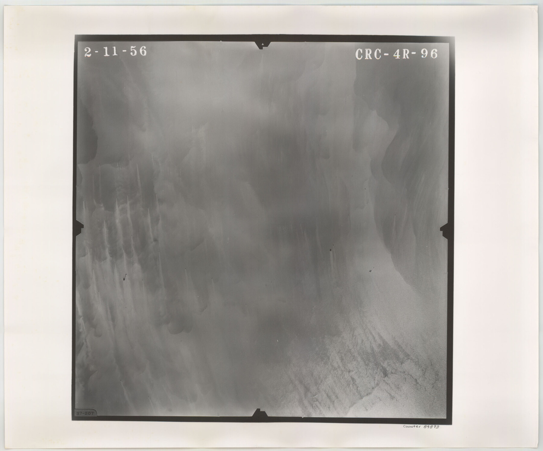
Flight Mission No. CRC-4R, Frame 96, Chambers County
CRC-4R-96
-
Map/Doc
84893
-
Collection
General Map Collection
-
Object Dates
1956/2/11 (Creation Date)
-
People and Organizations
U. S. Department of Agriculture (Publisher)
-
Counties
Chambers
-
Subjects
Aerial Photograph
-
Height x Width
18.4 x 22.2 inches
46.7 x 56.4 cm
-
Comments
Flown by Jack Ammann Photogrammetric Engineers, Inc. of San Antonio, Texas.
Part of: General Map Collection
Kinney County Sketch File 14

Print $6.00
- Digital $50.00
Kinney County Sketch File 14
1886
Size 10.9 x 16.6 inches
Map/Doc 29131
Anderson County Sketch File 4

Print $6.00
- Digital $50.00
Anderson County Sketch File 4
Size 8.7 x 6.4 inches
Map/Doc 12743

Jones County Sketch File 5a

Print $20.00
- Digital $50.00
Jones County Sketch File 5a
1857
Size 18.4 x 23.5 inches
Map/Doc 11896
Real County Rolled Sketch 5

Print $20.00
- Digital $50.00
Real County Rolled Sketch 5
Size 26.2 x 23.7 inches
Map/Doc 7455
Lampasas County Sketch File A

Print $4.00
- Digital $50.00
Lampasas County Sketch File A
1887
Size 11.3 x 9.0 inches
Map/Doc 29383
Marion County Sketch File 1

Print $28.00
- Digital $50.00
Marion County Sketch File 1
1867
Size 12.6 x 8.1 inches
Map/Doc 30554
Flight Mission No. DAG-21K, Frame 98, Matagorda County

Print $20.00
- Digital $50.00
Flight Mission No. DAG-21K, Frame 98, Matagorda County
1952
Size 18.5 x 22.3 inches
Map/Doc 86427
Menard County Sketch File 5

Print $20.00
- Digital $50.00
Menard County Sketch File 5
Size 5.6 x 43.3 inches
Map/Doc 10542
Hudspeth County Rolled Sketch 77

Print $20.00
- Digital $50.00
Hudspeth County Rolled Sketch 77
Size 25.2 x 38.0 inches
Map/Doc 6265
Northeast Part of Webb County

Print $20.00
- Digital $50.00
Northeast Part of Webb County
1986
Size 34.6 x 45.7 inches
Map/Doc 77452
Sutton County Boundary File 1

Print $4.00
- Digital $50.00
Sutton County Boundary File 1
Size 14.5 x 8.9 inches
Map/Doc 59002
You may also like
Pecos County Sketch

Print $20.00
- Digital $50.00
Pecos County Sketch
Size 34.2 x 23.2 inches
Map/Doc 92915
Flight Mission No. CRC-3R, Frame 14, Chambers County

Print $20.00
- Digital $50.00
Flight Mission No. CRC-3R, Frame 14, Chambers County
1956
Size 18.6 x 22.3 inches
Map/Doc 84788
Titus County Sketch File 7

Print $4.00
- Digital $50.00
Titus County Sketch File 7
1853
Size 10.0 x 8.2 inches
Map/Doc 38142
Duval County Sketch File 22

Print $20.00
- Digital $50.00
Duval County Sketch File 22
1880
Size 31.9 x 23.2 inches
Map/Doc 11386
Shackelford County Rolled Sketch 6

Print $20.00
- Digital $50.00
Shackelford County Rolled Sketch 6
1998
Size 24.1 x 35.9 inches
Map/Doc 7774
Uvalde County Working Sketch 8

Print $20.00
- Digital $50.00
Uvalde County Working Sketch 8
1942
Size 37.4 x 23.6 inches
Map/Doc 72078
Old Miscellaneous File 21

Print $16.00
- Digital $50.00
Old Miscellaneous File 21
Size 14.3 x 8.7 inches
Map/Doc 75583
Sketch of a reconnaissance of Aransas and Corpus Christi Bays

Print $20.00
- Digital $50.00
Sketch of a reconnaissance of Aransas and Corpus Christi Bays
1855
Size 25.5 x 18.2 inches
Map/Doc 72968
Map of Newton Co.

Print $20.00
- Digital $50.00
Map of Newton Co.
1918
Size 46.4 x 39.4 inches
Map/Doc 81987
Northeast Part Presidio County

Print $20.00
- Digital $50.00
Northeast Part Presidio County
1973
Size 39.6 x 31.3 inches
Map/Doc 77398
Travis County State Real Property Sketch 2

Print $20.00
- Digital $50.00
Travis County State Real Property Sketch 2
1986
Size 34.0 x 35.5 inches
Map/Doc 61693
![92804, [Block O], Twichell Survey Records](https://historictexasmaps.com/wmedia_w700/maps/92804-1.tif.jpg)