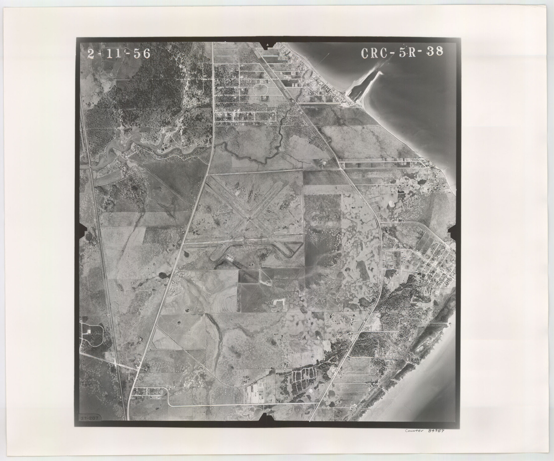
Flight Mission No. CRC-5R, Frame 38, Chambers County
CRC-5R-38
-
Map/Doc
84957
-
Collection
General Map Collection
-
Object Dates
1956/2/11 (Creation Date)
-
People and Organizations
U. S. Department of Agriculture (Publisher)
-
Counties
Chambers
-
Subjects
Aerial Photograph
-
Height x Width
18.6 x 22.3 inches
47.2 x 56.6 cm
-
Comments
Flown by Jack Ammann Photogrammetric Engineers, Inc. of San Antonio, Texas.
Part of: General Map Collection
Winkler County Working Sketch 7

Print $20.00
- Digital $50.00
Winkler County Working Sketch 7
1958
Size 45.4 x 30.2 inches
Map/Doc 72601
Reeves County Working Sketch 19

Print $20.00
- Digital $50.00
Reeves County Working Sketch 19
1962
Size 42.3 x 42.7 inches
Map/Doc 63462
Randall County Rolled Sketch 9

Print $20.00
- Digital $50.00
Randall County Rolled Sketch 9
Size 47.5 x 35.8 inches
Map/Doc 9808
Nolan County Sketch File C

Print $20.00
- Digital $50.00
Nolan County Sketch File C
1902
Size 14.4 x 31.5 inches
Map/Doc 42172
Nueces County Rolled Sketch 58

Print $50.00
Nueces County Rolled Sketch 58
1979
Size 28.2 x 40.1 inches
Map/Doc 6899
Coryell County Working Sketch 17

Print $20.00
- Digital $50.00
Coryell County Working Sketch 17
1958
Size 35.4 x 35.0 inches
Map/Doc 68224
Mills County Working Sketch 24

Print $20.00
- Digital $50.00
Mills County Working Sketch 24
1988
Size 40.3 x 36.5 inches
Map/Doc 71054
Hemphill County Working Sketch 11

Print $20.00
- Digital $50.00
Hemphill County Working Sketch 11
1965
Size 23.1 x 41.2 inches
Map/Doc 66106
Hudspeth County Working Sketch 37

Print $20.00
- Digital $50.00
Hudspeth County Working Sketch 37
1978
Size 32.8 x 46.8 inches
Map/Doc 66322
DeWitt County Sketch File 7

Print $2.00
- Digital $50.00
DeWitt County Sketch File 7
1876
Size 11.3 x 9.0 inches
Map/Doc 20817
Crockett County Working Sketch 75

Print $20.00
- Digital $50.00
Crockett County Working Sketch 75
1964
Size 25.7 x 24.0 inches
Map/Doc 68408
Tyler County Sketch File 22

Print $4.00
- Digital $50.00
Tyler County Sketch File 22
Size 8.5 x 9.3 inches
Map/Doc 38679
You may also like
Jeff Davis County Rolled Sketch 23A

Print $11.00
- Digital $50.00
Jeff Davis County Rolled Sketch 23A
1886
Size 9.9 x 15.3 inches
Map/Doc 46293
Stonewall County Boundary File 4

Print $32.00
- Digital $50.00
Stonewall County Boundary File 4
Size 14.4 x 9.1 inches
Map/Doc 58977
Galveston County Working Sketch 16

Print $20.00
- Digital $50.00
Galveston County Working Sketch 16
1980
Size 30.5 x 36.9 inches
Map/Doc 69353
Bexar County Rolled Sketch 16
Print $20.00
- Digital $50.00
Bexar County Rolled Sketch 16
1847
Size 21.1 x 14.8 inches
Map/Doc 5141
Gulf Intracoastal Waterway, Tex. - Aransas Bay to Corpus Christi Bay - Modified Route of Main Channel/Dredging

Print $20.00
- Digital $50.00
Gulf Intracoastal Waterway, Tex. - Aransas Bay to Corpus Christi Bay - Modified Route of Main Channel/Dredging
1958
Size 31.0 x 42.8 inches
Map/Doc 61895
Flight Mission No. BQY-4M, Frame 123, Harris County

Print $20.00
- Digital $50.00
Flight Mission No. BQY-4M, Frame 123, Harris County
1953
Size 18.7 x 22.4 inches
Map/Doc 85291
Culberson County Rolled Sketch 30

Print $84.00
- Digital $50.00
Culberson County Rolled Sketch 30
1928
Size 57.1 x 36.1 inches
Map/Doc 8746
Wood County Sketch File 13

Print $24.00
- Digital $50.00
Wood County Sketch File 13
1866
Size 12.5 x 7.6 inches
Map/Doc 40668
Stephens County Working Sketch 14

Print $20.00
- Digital $50.00
Stephens County Working Sketch 14
1956
Size 28.1 x 23.5 inches
Map/Doc 63957
Lampasas County Sketch File 2

Print $40.00
- Digital $50.00
Lampasas County Sketch File 2
1858
Size 15.6 x 12.7 inches
Map/Doc 29390

Atlas Pintoresco e Historico de los Estados Unidos Mexicanos

Atlas Pintoresco e Historico de los Estados Unidos Mexicanos
Map/Doc 96796