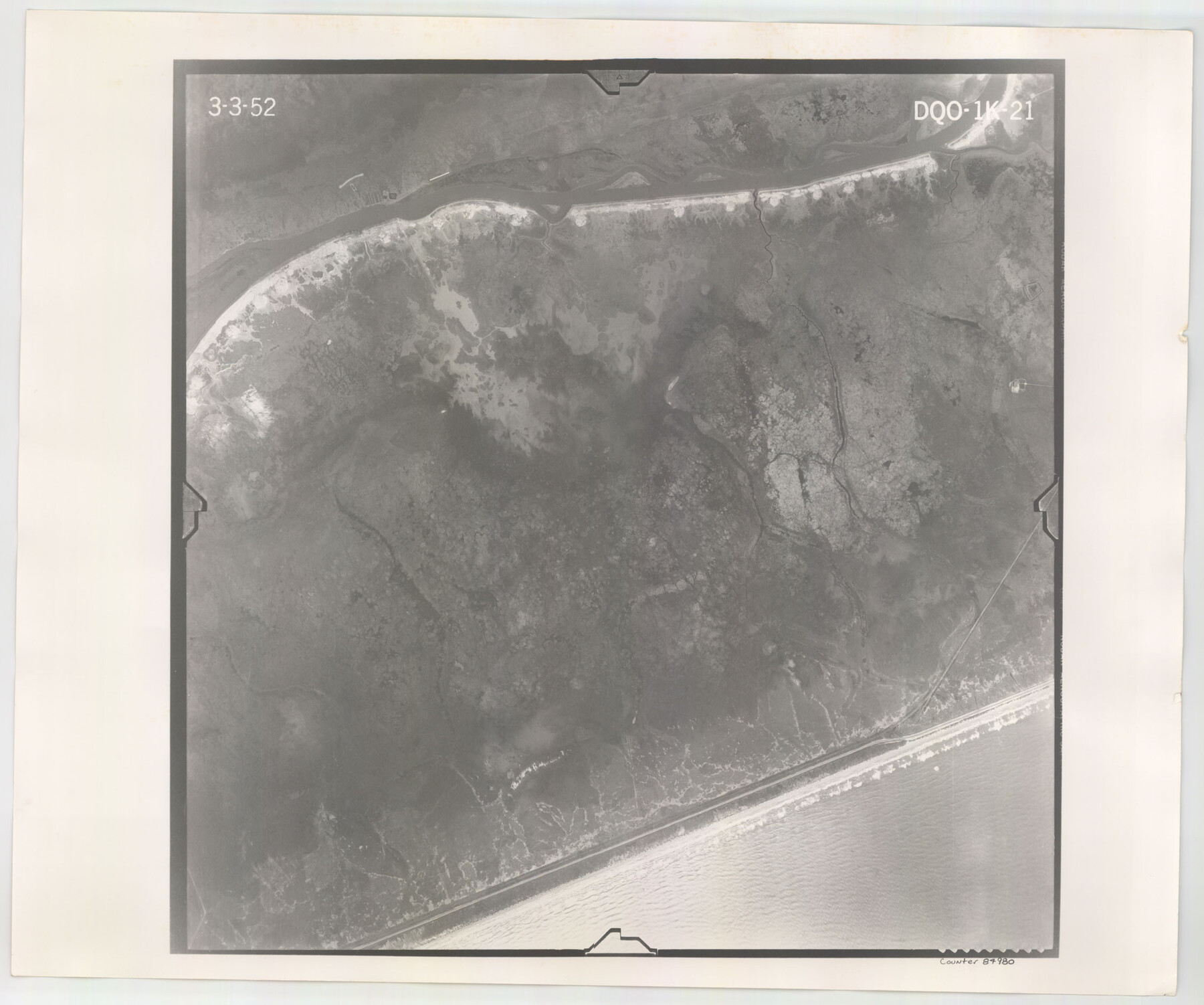
Flight Mission No. DQO-1K, Frame 21, Galveston County
DQO-1K-21
-
Map/Doc
84980
-
Collection
General Map Collection
-
Object Dates
1952/3/3 (Creation Date)
-
People and Organizations
U. S. Department of Agriculture (Publisher)
-
Counties
Galveston
-
Subjects
Aerial Photograph
-
Height x Width
18.8 x 22.6 inches
47.8 x 57.4 cm
-
Comments
Flown by Aero Exploration Company of Tulsa, Oklahoma.
Part of: General Map Collection
Flight Mission No. BRA-17M, Frame 3, Jefferson County

Print $20.00
- Digital $50.00
Flight Mission No. BRA-17M, Frame 3, Jefferson County
1953
Size 18.7 x 22.3 inches
Map/Doc 85783
Township No. 6 South Range No. 9 West of the Indian Meridian

Print $20.00
- Digital $50.00
Township No. 6 South Range No. 9 West of the Indian Meridian
1874
Size 19.2 x 24.5 inches
Map/Doc 75166
Hemphill County Rolled Sketch 13

Print $20.00
- Digital $50.00
Hemphill County Rolled Sketch 13
1905
Size 20.7 x 28.9 inches
Map/Doc 6193
Flight Mission No. BQR-4K, Frame 65, Brazoria County

Print $20.00
- Digital $50.00
Flight Mission No. BQR-4K, Frame 65, Brazoria County
1952
Size 18.5 x 22.3 inches
Map/Doc 83998
Mitchell County

Print $20.00
- Digital $50.00
Mitchell County
1971
Size 43.6 x 37.0 inches
Map/Doc 95592
[Surveys near Crabapple Creek in the Bexar District]
![87, [Surveys near Crabapple Creek in the Bexar District], General Map Collection](https://historictexasmaps.com/wmedia_w700/maps/87.tif.jpg)
Print $2.00
- Digital $50.00
[Surveys near Crabapple Creek in the Bexar District]
1846
Size 9.1 x 7.0 inches
Map/Doc 87
Maverick County Working Sketch 7

Print $20.00
- Digital $50.00
Maverick County Working Sketch 7
1959
Size 22.4 x 21.0 inches
Map/Doc 70899
Mills County Boundary File 6

Print $2.00
- Digital $50.00
Mills County Boundary File 6
Size 11.0 x 8.6 inches
Map/Doc 57311
Jim Wells County Sketch File 2

Print $6.00
- Digital $50.00
Jim Wells County Sketch File 2
1931
Size 11.1 x 8.7 inches
Map/Doc 28424
Flight Mission No. CLL-3N, Frame 15, Willacy County

Print $20.00
- Digital $50.00
Flight Mission No. CLL-3N, Frame 15, Willacy County
1950
Size 18.4 x 22.0 inches
Map/Doc 87081
Hudspeth County Rolled Sketch 57

Print $20.00
- Digital $50.00
Hudspeth County Rolled Sketch 57
Size 38.3 x 46.0 inches
Map/Doc 9223
Map of Starr County Texas

Print $20.00
- Digital $50.00
Map of Starr County Texas
1935
Size 20.2 x 26.8 inches
Map/Doc 4047
You may also like
Armstrong County Boundary File 1 and 1a

Print $10.00
- Digital $50.00
Armstrong County Boundary File 1 and 1a
Size 9.0 x 8.1 inches
Map/Doc 50121
Hale County Sketch File 3a

Print $20.00
- Digital $50.00
Hale County Sketch File 3a
Size 21.1 x 14.6 inches
Map/Doc 11593
Bexar County Rolled Sketch 4

Print $20.00
- Digital $50.00
Bexar County Rolled Sketch 4
Size 24.3 x 36.8 inches
Map/Doc 5137

Shelby County Sketch File 5

Print $22.00
- Digital $50.00
Shelby County Sketch File 5
Size 8.4 x 12.1 inches
Map/Doc 36599
Wise County Working Sketch 2

Print $20.00
- Digital $50.00
Wise County Working Sketch 2
1940
Size 30.1 x 41.9 inches
Map/Doc 72616
Map of Orange County, Texas

Print $20.00
- Digital $50.00
Map of Orange County, Texas
1880
Size 15.6 x 19.1 inches
Map/Doc 746
Colorado River, Lissie Sheet

Print $20.00
- Digital $50.00
Colorado River, Lissie Sheet
1941
Size 24.2 x 43.0 inches
Map/Doc 65306
Flight Mission No. DCL-7C, Frame 150, Kenedy County

Print $20.00
- Digital $50.00
Flight Mission No. DCL-7C, Frame 150, Kenedy County
1943
Size 18.5 x 22.2 inches
Map/Doc 86107
Travels to the source of the Missouri River and across the American Continent to the Pacific Ocean - Vol. 2

Travels to the source of the Missouri River and across the American Continent to the Pacific Ocean - Vol. 2
1815
Map/Doc 97413
Hutchinson County Rolled Sketch 12

Print $20.00
- Digital $50.00
Hutchinson County Rolled Sketch 12
Size 26.1 x 41.4 inches
Map/Doc 6282
Martin County Rolled Sketch 3

Print $20.00
- Digital $50.00
Martin County Rolled Sketch 3
Size 29.2 x 15.4 inches
Map/Doc 6664