[Surveys near Crabapple Creek in the Bexar District]
Atlas G, Page 1, Sketch 12 (G-1-12)
G-1-12
-
Map/Doc
87
-
Collection
General Map Collection
-
Object Dates
1846 (Creation Date)
-
People and Organizations
John James (Draftsman)
John James (Surveyor/Engineer)
-
Counties
Gillespie
-
Subjects
Atlas
-
Height x Width
9.1 x 7.0 inches
23.1 x 17.8 cm
-
Medium
paper, manuscript
-
Scale
[1:4000]
-
Comments
Conserved in 2004.
Part of: General Map Collection
Amistad International Reservoir on Rio Grande 106


Print $20.00
- Digital $50.00
Amistad International Reservoir on Rio Grande 106
1950
Size 28.5 x 41.0 inches
Map/Doc 75537
[F. W. & D. C. Ry. Co. Alignment and Right of Way Map, Clay County]
![64734, [F. W. & D. C. Ry. Co. Alignment and Right of Way Map, Clay County], General Map Collection](https://historictexasmaps.com/wmedia_w700/maps/64734-GC.tif.jpg)
![64734, [F. W. & D. C. Ry. Co. Alignment and Right of Way Map, Clay County], General Map Collection](https://historictexasmaps.com/wmedia_w700/maps/64734-GC.tif.jpg)
Print $20.00
- Digital $50.00
[F. W. & D. C. Ry. Co. Alignment and Right of Way Map, Clay County]
1927
Size 18.6 x 11.8 inches
Map/Doc 64734
Terrell County Sketch File 10

Print $44.00
- Digital $50.00
Terrell County Sketch File 10
1902
Size 9.7 x 4.6 inches
Map/Doc 37910
Leon County Working Sketch 40


Print $20.00
- Digital $50.00
Leon County Working Sketch 40
1980
Size 31.4 x 20.5 inches
Map/Doc 70439
Flight Mission No. DQN-2K, Frame 34, Calhoun County


Print $20.00
- Digital $50.00
Flight Mission No. DQN-2K, Frame 34, Calhoun County
1953
Size 18.5 x 22.2 inches
Map/Doc 84241
Medina County Working Sketch 9


Print $20.00
- Digital $50.00
Medina County Working Sketch 9
1959
Size 25.3 x 38.8 inches
Map/Doc 70924
Baylor County Rolled Sketch WAJ
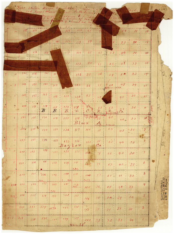

Print $20.00
- Digital $50.00
Baylor County Rolled Sketch WAJ
Size 22.0 x 17.0 inches
Map/Doc 5132
The Inca, Machu Picchu Salutes the Sun


The Inca, Machu Picchu Salutes the Sun
Size 20.4 x 31.3 inches
Map/Doc 95935
Kimble County Rolled Sketch 27
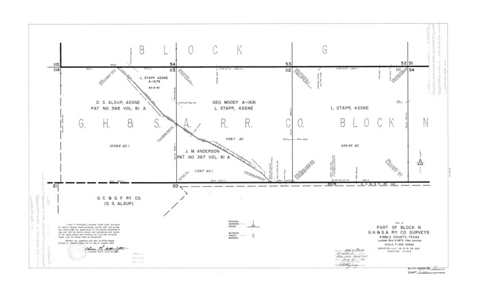

Print $20.00
- Digital $50.00
Kimble County Rolled Sketch 27
1963
Size 23.9 x 39.4 inches
Map/Doc 6517
Hidalgo County Rolled Sketch 14


Print $40.00
- Digital $50.00
Hidalgo County Rolled Sketch 14
1963
Size 68.5 x 40.7 inches
Map/Doc 9169
Newton County Rolled Sketch 25
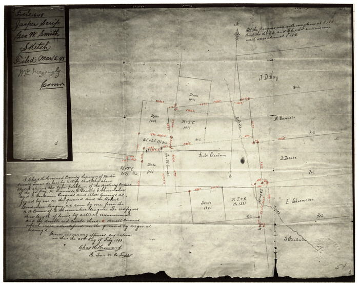

Print $20.00
- Digital $50.00
Newton County Rolled Sketch 25
1893
Size 17.0 x 21.3 inches
Map/Doc 6855
San Patricio County Rolled Sketch 46C
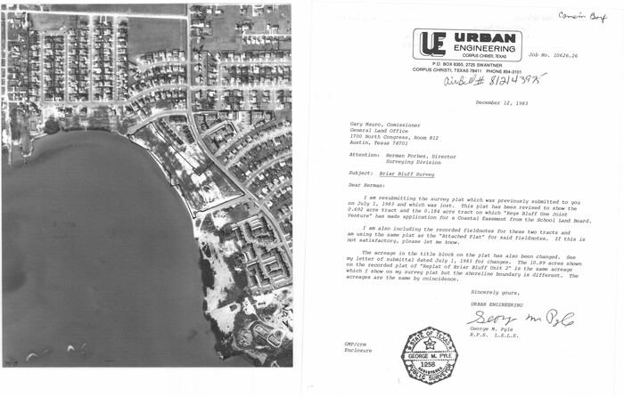

Print $3.00
- Digital $50.00
San Patricio County Rolled Sketch 46C
1983
Size 11.0 x 17.5 inches
Map/Doc 8374
You may also like
Flight Mission No. DIX-10P, Frame 143, Aransas County
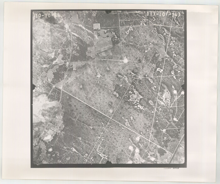

Print $20.00
- Digital $50.00
Flight Mission No. DIX-10P, Frame 143, Aransas County
1956
Size 18.8 x 22.5 inches
Map/Doc 83945
[Sketch showing vicinity of Wm. McCutcheon League near the Bastrop-Caldwell County Line]
![90144, [Sketch showing vicinity of Wm. McCutcheon League near the Bastrop-Caldwell County Line], Twichell Survey Records](https://historictexasmaps.com/wmedia_w700/maps/90144-1.tif.jpg)
![90144, [Sketch showing vicinity of Wm. McCutcheon League near the Bastrop-Caldwell County Line], Twichell Survey Records](https://historictexasmaps.com/wmedia_w700/maps/90144-1.tif.jpg)
Print $2.00
- Digital $50.00
[Sketch showing vicinity of Wm. McCutcheon League near the Bastrop-Caldwell County Line]
1923
Size 7.7 x 12.9 inches
Map/Doc 90144
Terrell County Working Sketch 80
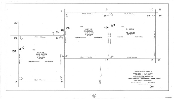

Print $20.00
- Digital $50.00
Terrell County Working Sketch 80
1985
Size 20.7 x 36.4 inches
Map/Doc 69601
San Augustine County Sketch File 22
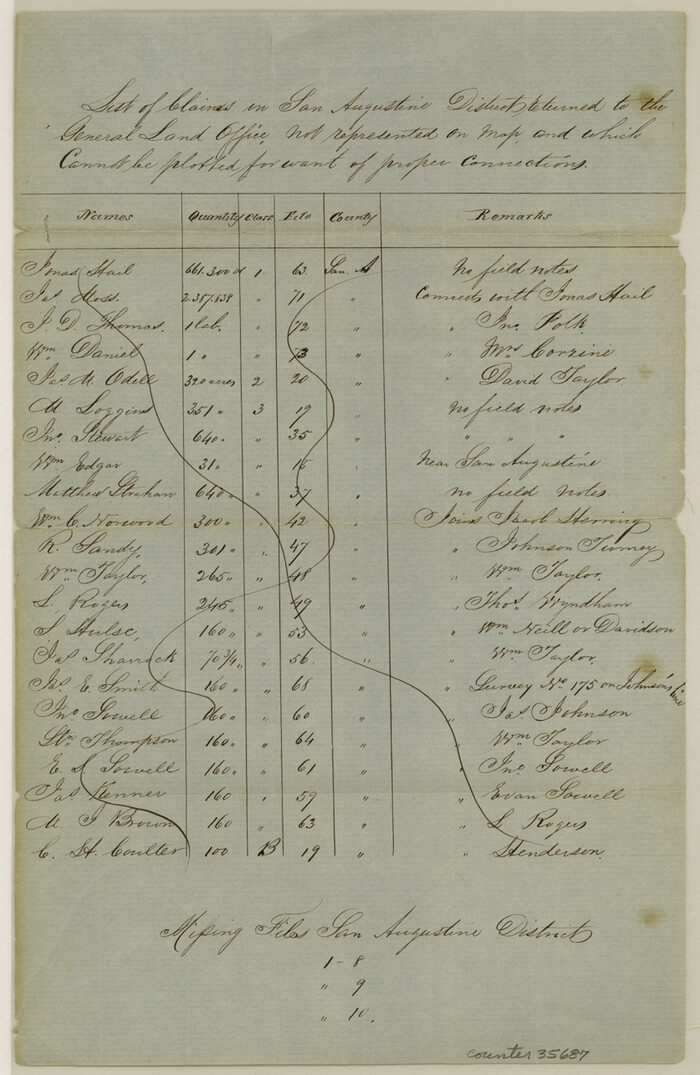

Print $4.00
San Augustine County Sketch File 22
Size 12.8 x 8.4 inches
Map/Doc 35687
General Highway Map, Schleicher County, Sutton County, Texas


Print $20.00
General Highway Map, Schleicher County, Sutton County, Texas
1961
Size 18.2 x 24.3 inches
Map/Doc 79649
Ector County Working Sketch 31


Print $40.00
- Digital $50.00
Ector County Working Sketch 31
1980
Size 36.0 x 51.0 inches
Map/Doc 68874
Upton County Working Sketch 29


Print $40.00
- Digital $50.00
Upton County Working Sketch 29
1956
Size 50.6 x 36.0 inches
Map/Doc 69525
Photostat of section of hydrographic surveys H-5399, H-4822, H-470
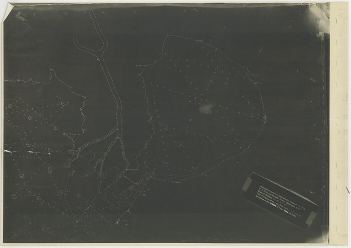

Print $20.00
- Digital $50.00
Photostat of section of hydrographic surveys H-5399, H-4822, H-470
1933
Size 18.3 x 25.8 inches
Map/Doc 61156
Plan of the Battle of Buena-Vista fought February 22nd and 23rd, 1847
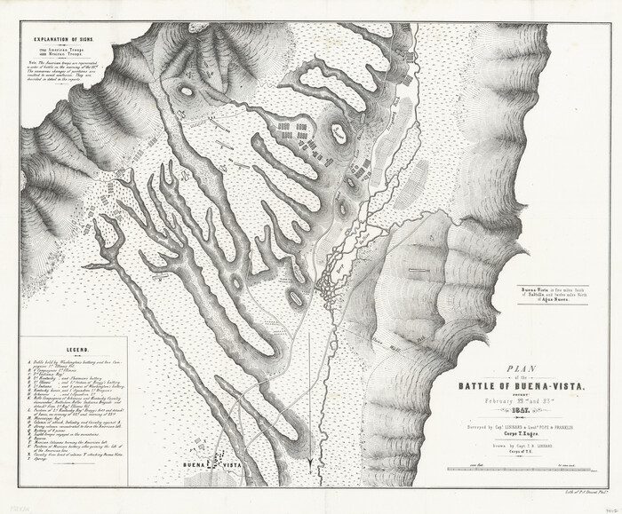

Print $20.00
- Digital $50.00
Plan of the Battle of Buena-Vista fought February 22nd and 23rd, 1847
1847
Size 17.8 x 21.5 inches
Map/Doc 94112
Wichita County Working Sketch 9


Print $20.00
- Digital $50.00
Wichita County Working Sketch 9
1920
Size 23.7 x 17.6 inches
Map/Doc 72518
Runnels County Sketch File 13

Print $2.00
Runnels County Sketch File 13
Size 8.0 x 6.2 inches
Map/Doc 35456
Reagan County Rolled Sketch 40


Print $40.00
- Digital $50.00
Reagan County Rolled Sketch 40
Size 90.0 x 39.3 inches
Map/Doc 9831
![87, [Surveys near Crabapple Creek in the Bexar District], General Map Collection](https://historictexasmaps.com/wmedia_w1800h1800/maps/87.tif.jpg)