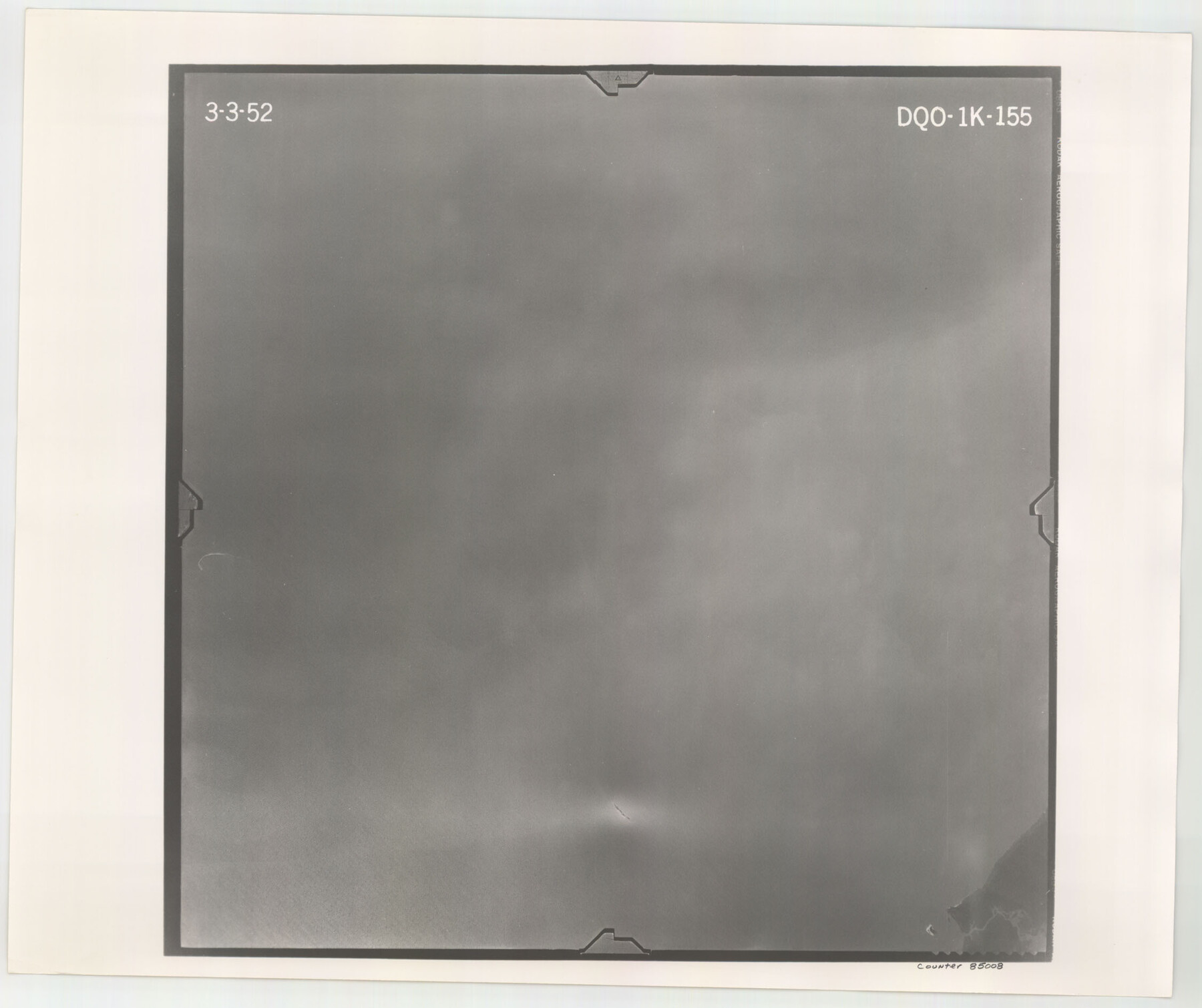
Flight Mission No. DQO-1K, Frame 155, Galveston County
DQO-1K-155
-
Map/Doc
85008
-
Collection
General Map Collection
-
Object Dates
1952/3/3 (Creation Date)
-
People and Organizations
U. S. Department of Agriculture (Publisher)
-
Counties
Galveston
-
Subjects
Aerial Photograph
-
Height x Width
18.9 x 22.5 inches
48.0 x 57.2 cm
-
Comments
Flown by Aero Exploration Company of Tulsa, Oklahoma.
Part of: General Map Collection
Kerr County Working Sketch 30

Print $20.00
- Digital $50.00
Kerr County Working Sketch 30
1973
Size 29.8 x 28.9 inches
Map/Doc 70061
Wise County Sketch File 47

Print $4.00
- Digital $50.00
Wise County Sketch File 47
1888
Size 8.8 x 12.8 inches
Map/Doc 40607
Lubbock County Sketch File 9

Print $4.00
- Digital $50.00
Lubbock County Sketch File 9
1907
Size 5.7 x 8.7 inches
Map/Doc 30430
San Jacinto Co.

Print $20.00
- Digital $50.00
San Jacinto Co.
1889
Size 46.4 x 37.9 inches
Map/Doc 63016
Reagan County

Print $40.00
- Digital $50.00
Reagan County
1915
Size 51.6 x 38.6 inches
Map/Doc 73340
Bexar County Sketch File 36b

Print $40.00
- Digital $50.00
Bexar County Sketch File 36b
Size 18.6 x 20.2 inches
Map/Doc 10921
[Texas Gulf Coast from Rio Grande to Sabine Lake]
![72688, [Texas Gulf Coast from Rio Grande to Sabine Lake], General Map Collection](https://historictexasmaps.com/wmedia_w700/maps/72688.tif.jpg)
Print $20.00
- Digital $50.00
[Texas Gulf Coast from Rio Grande to Sabine Lake]
Size 27.8 x 18.3 inches
Map/Doc 72688
Dallas County Working Sketch 14

Print $20.00
- Digital $50.00
Dallas County Working Sketch 14
1987
Size 31.2 x 21.7 inches
Map/Doc 68580
Flight Mission No. CGI-4N, Frame 19, Cameron County

Print $20.00
- Digital $50.00
Flight Mission No. CGI-4N, Frame 19, Cameron County
1954
Size 18.5 x 22.3 inches
Map/Doc 84652
Political Essay on the Kingdom of New Spain Vol. 2, Third Edition

Political Essay on the Kingdom of New Spain Vol. 2, Third Edition
1822
Map/Doc 97387
Kenedy County Rolled Sketch 8

Print $20.00
- Digital $50.00
Kenedy County Rolled Sketch 8
1915
Size 19.0 x 30.6 inches
Map/Doc 6468
Flight Mission No. CGI-4N, Frame 25, Cameron County

Print $20.00
- Digital $50.00
Flight Mission No. CGI-4N, Frame 25, Cameron County
1954
Size 18.7 x 22.4 inches
Map/Doc 84658
You may also like
Flight Mission No. DAG-24K, Frame 51, Matagorda County

Print $20.00
- Digital $50.00
Flight Mission No. DAG-24K, Frame 51, Matagorda County
1953
Size 16.0 x 15.9 inches
Map/Doc 86538
Reagan County Rolled Sketch 6

Print $20.00
- Digital $50.00
Reagan County Rolled Sketch 6
Size 17.8 x 17.3 inches
Map/Doc 7435
Clay County Boundary File 19

Print $8.00
- Digital $50.00
Clay County Boundary File 19
1924
Size 3.3 x 5.5 inches
Map/Doc 65511
Val Verde County Working Sketch 52

Print $20.00
- Digital $50.00
Val Verde County Working Sketch 52
1956
Size 20.6 x 14.9 inches
Map/Doc 72187
Shelby County Working Sketch 35

Print $20.00
- Digital $50.00
Shelby County Working Sketch 35
2010
Size 27.4 x 28.3 inches
Map/Doc 89285
Old Miscellaneous File 2

Print $16.00
- Digital $50.00
Old Miscellaneous File 2
1838
Size 13.0 x 8.0 inches
Map/Doc 75406
Knox County Rolled Sketch 18

Print $20.00
- Digital $50.00
Knox County Rolled Sketch 18
1945
Size 23.1 x 29.5 inches
Map/Doc 6558
Robertson County Rolled Sketch 5

Print $20.00
- Digital $50.00
Robertson County Rolled Sketch 5
1976
Size 34.1 x 36.4 inches
Map/Doc 9864
Plainview, Texas

Print $20.00
- Digital $50.00
Plainview, Texas
1905
Size 24.8 x 30.8 inches
Map/Doc 90716
Reagan County Working Sketch 14b

Print $20.00
- Digital $50.00
Reagan County Working Sketch 14b
Size 20.3 x 9.0 inches
Map/Doc 71855
Wilbarger County Boundary File 1c

Print $6.00
- Digital $50.00
Wilbarger County Boundary File 1c
Size 12.2 x 9.6 inches
Map/Doc 59954
