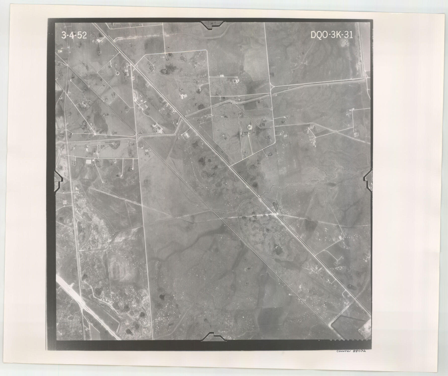
Flight Mission No. DQO-3K, Frame 31, Galveston County
DQO-3K-31
-
Map/Doc
85072
-
Collection
General Map Collection
-
Object Dates
1952/3/4 (Creation Date)
-
People and Organizations
U. S. Department of Agriculture (Publisher)
-
Counties
Galveston
-
Subjects
Aerial Photograph
-
Height x Width
18.9 x 22.5 inches
48.0 x 57.2 cm
-
Comments
Flown by Aero Exploration Company of Tulsa, Oklahoma.
Part of: General Map Collection
Flight Mission No. DAG-22K, Frame 75, Matagorda County

Print $20.00
- Digital $50.00
Flight Mission No. DAG-22K, Frame 75, Matagorda County
1953
Size 18.5 x 22.3 inches
Map/Doc 86462
Hamilton County

Print $20.00
- Digital $50.00
Hamilton County
1916
Size 42.3 x 43.2 inches
Map/Doc 66850
McMullen County Sketch File 2

Print $22.00
- Digital $50.00
McMullen County Sketch File 2
1849
Size 8.3 x 12.4 inches
Map/Doc 31337
Maps of Gulf Intracoastal Waterway, Texas - Sabine River to the Rio Grande and connecting waterways including ship channels

Print $20.00
- Digital $50.00
Maps of Gulf Intracoastal Waterway, Texas - Sabine River to the Rio Grande and connecting waterways including ship channels
1966
Size 14.6 x 20.5 inches
Map/Doc 61991
Parker County Sketch File 10

Print $40.00
- Digital $50.00
Parker County Sketch File 10
Size 43.5 x 37.8 inches
Map/Doc 10567
La Salle County Sketch File 12

Print $15.00
- Digital $50.00
La Salle County Sketch File 12
1877
Size 10.0 x 8.1 inches
Map/Doc 29470
Kenedy County Working Sketch 3

Print $20.00
- Digital $50.00
Kenedy County Working Sketch 3
1903
Size 30.3 x 38.4 inches
Map/Doc 70005
Williamson County Sketch File 3

Print $24.00
- Digital $50.00
Williamson County Sketch File 3
1853
Size 13.0 x 8.2 inches
Map/Doc 40301
Flight Mission No. DAG-16K, Frame 73, Matagorda County

Print $20.00
- Digital $50.00
Flight Mission No. DAG-16K, Frame 73, Matagorda County
1952
Size 16.5 x 16.3 inches
Map/Doc 86319
Yoakum County Sketch File 19

Print $18.00
- Digital $50.00
Yoakum County Sketch File 19
1898
Size 11.5 x 8.8 inches
Map/Doc 40832
Galveston County NRC Article 33.136 Sketch 12

Print $28.00
- Digital $50.00
Galveston County NRC Article 33.136 Sketch 12
2002
Size 22.5 x 33.8 inches
Map/Doc 66899
Bailey County Sketch File 16

Print $8.00
- Digital $50.00
Bailey County Sketch File 16
1941
Size 14.2 x 8.7 inches
Map/Doc 13977
You may also like
Flight Mission No. DIX-10P, Frame 179, Aransas County

Print $20.00
- Digital $50.00
Flight Mission No. DIX-10P, Frame 179, Aransas County
1956
Size 18.7 x 22.3 inches
Map/Doc 83969

Pecos County Working Sketch 31

Print $20.00
- Digital $50.00
Pecos County Working Sketch 31
1936
Size 17.5 x 22.4 inches
Map/Doc 71503
Map of Nacogdoches County

Print $20.00
- Digital $50.00
Map of Nacogdoches County
1880
Size 23.9 x 20.9 inches
Map/Doc 3908
Val Verde County Rolled Sketch 69A

Print $40.00
- Digital $50.00
Val Verde County Rolled Sketch 69A
1942
Size 11.0 x 139.1 inches
Map/Doc 10086
Travels to the source of the Missouri River and across the American Continent to the Pacific Ocean - Vol. 3

Travels to the source of the Missouri River and across the American Continent to the Pacific Ocean - Vol. 3
1815
Map/Doc 97414
Runnels County Sketch File 41

Print $20.00
Runnels County Sketch File 41
1892
Size 22.8 x 25.7 inches
Map/Doc 12271
Flight Mission No. DQN-2K, Frame 163, Calhoun County

Print $20.00
- Digital $50.00
Flight Mission No. DQN-2K, Frame 163, Calhoun County
1953
Size 18.5 x 22.2 inches
Map/Doc 84325
Pecos County Rolled Sketch 155

Print $40.00
- Digital $50.00
Pecos County Rolled Sketch 155
Size 65.1 x 44.8 inches
Map/Doc 9737
Gaines County Working Sketch 7

Print $20.00
- Digital $50.00
Gaines County Working Sketch 7
1940
Size 16.5 x 38.5 inches
Map/Doc 69307
Chambers County Sketch File Y

Print $4.00
- Digital $50.00
Chambers County Sketch File Y
1907
Size 14.3 x 8.7 inches
Map/Doc 17600
[Plat of Trinity River w/ Midstream Profile in Liberty County by US Government 1899]
![65339, [Plat of Trinity River w/ Midstream Profile in Liberty County by US Government 1899], General Map Collection](https://historictexasmaps.com/wmedia_w700/maps/65339.tif.jpg)
Print $20.00
- Digital $50.00
[Plat of Trinity River w/ Midstream Profile in Liberty County by US Government 1899]
1899
Size 12.8 x 17.6 inches
Map/Doc 65339